


 Recommend YouTube


| View : |  | ||
| Difficulty : |  | ||
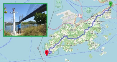
| Path : | |||
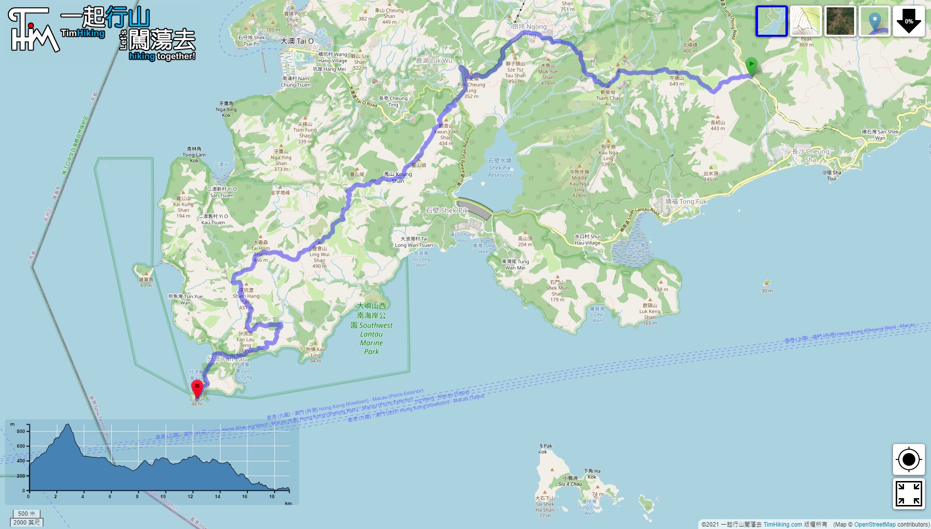
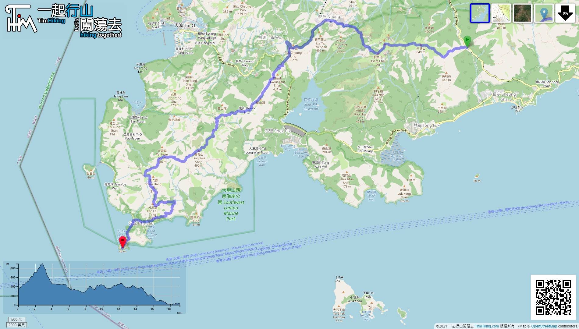
| Length : | 19.1km | ||
| Time : | 10hours | ||
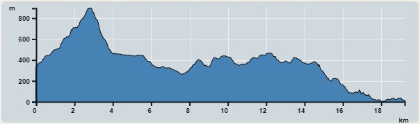 | |
| Ascent : 1,457m | Descent : 1,774m |
| Max : 894m | Min : 0m |
| (The accuracy of elevation is +/-30m) | |

 Ngong Ping
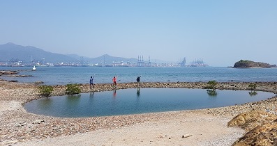
 13︰There are a few stone scenery along the way, can take a break from time to time.
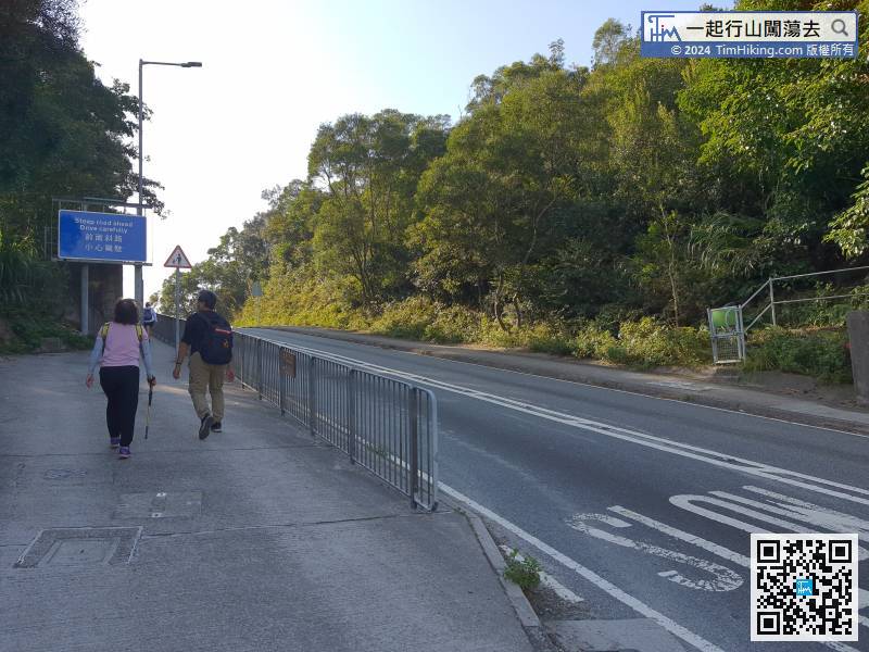
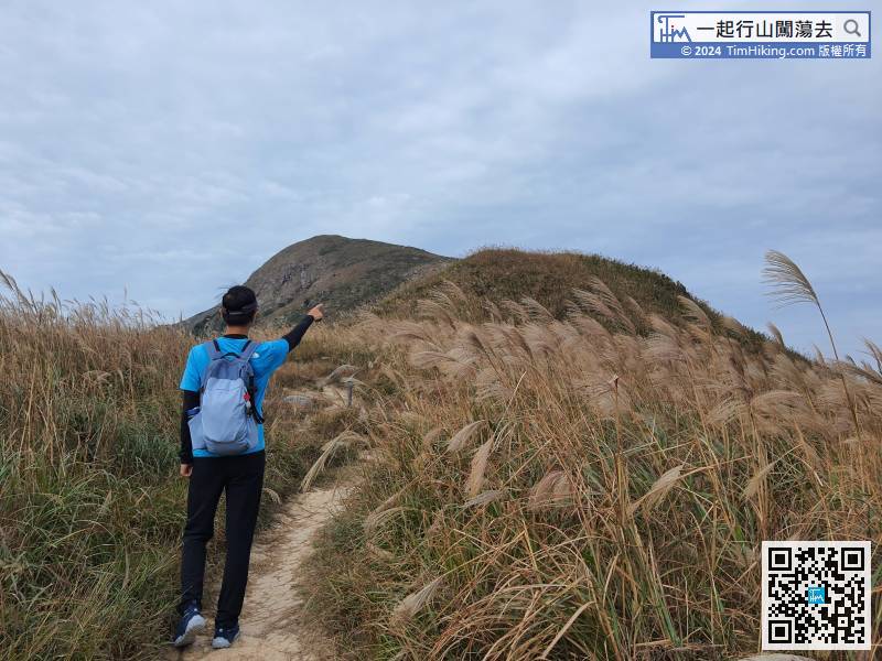
After downhill from Sunset Peak, walk to the opposite sidewalk,
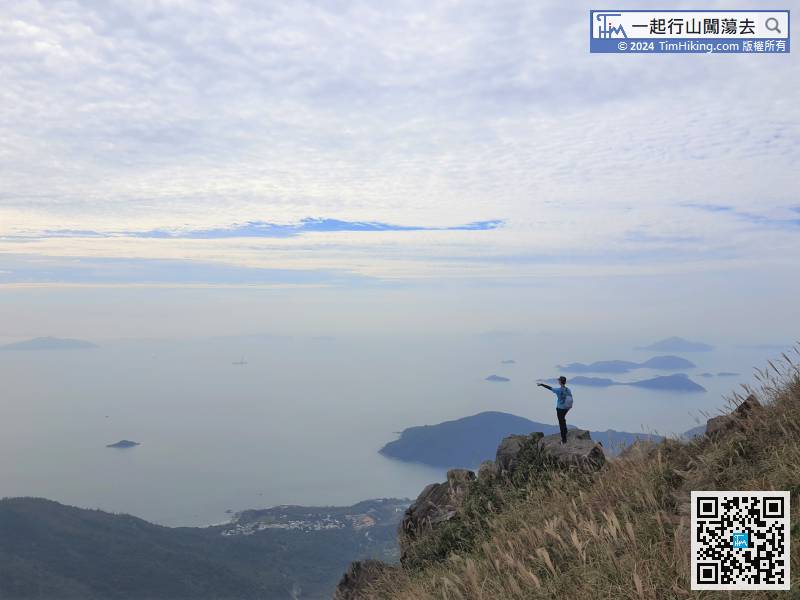
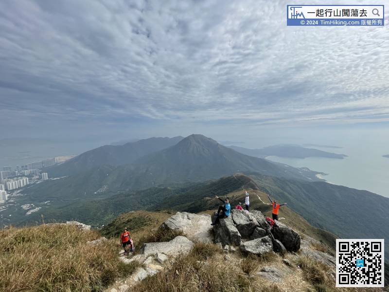
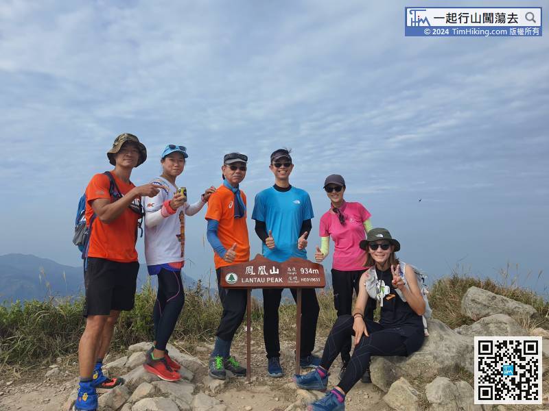
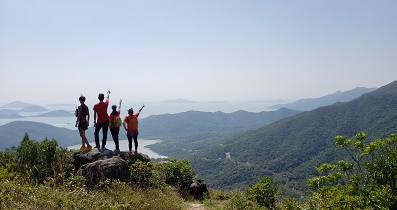
30︰Lantau Peak has a Trigonometrical Station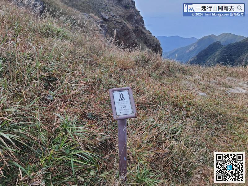
When going to distance post L023,
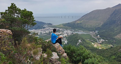
54︰with Shek Pik Viewing Point outside,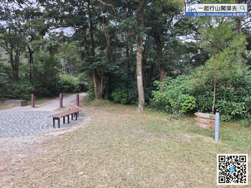
This section will leave Lantau Trail for a while,
79︰There is a Trigonometrical Station on the top of Keung Shan with an altitude nameplate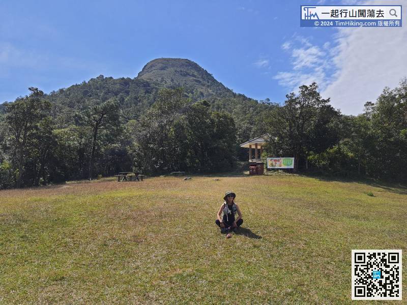
Now, almost have walked 28km, excluding the return road section, in fact, it has completed 70%. The road section in the future has no big ups and downs like Sunset Peak and Lantau Peak. In contrast, it is only a slight slope up and down.
87︰Do not go wrong.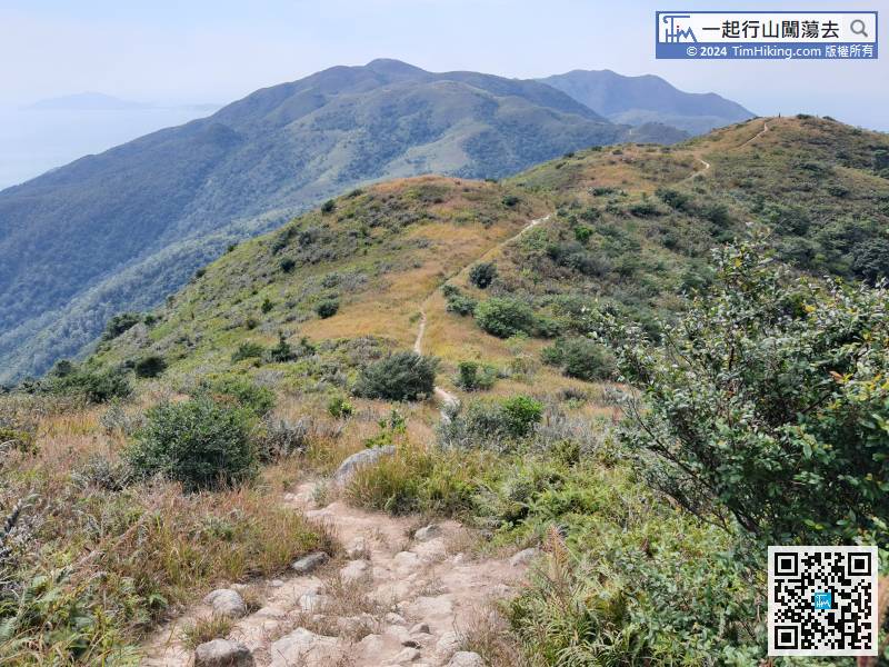
It is a relatively long journey from Keung Shan to Ling Wui Shan, about 2.4km.
101︰5 minutes later, will fall to the first bifurcation.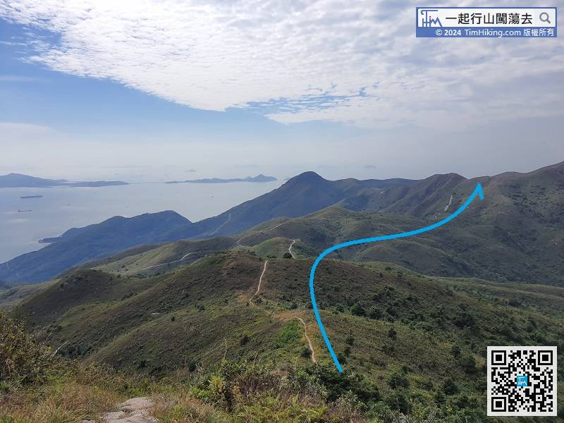
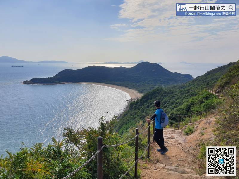
After that, it is the way down the mountain. The most obvious ridge in front is the route to be taken.
127︰About 5 minutes later, will come to an important bifurcation, will first go to the right and return from the left when Cross Lantau is done.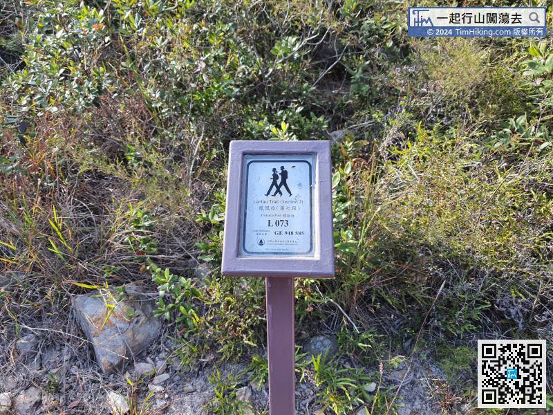
Turn right, will find distance post L073.
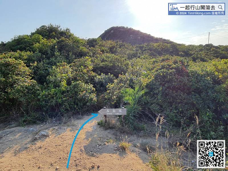
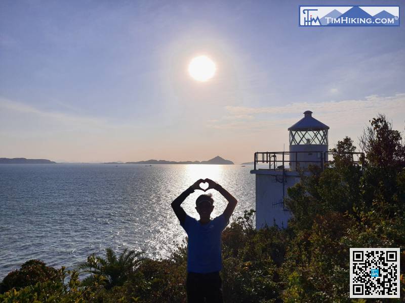
When falling to an intersection, will see a small mountain trail in front, and will see many electric poles in the far right. Hikers will find the barren trail to Fan Lau Lighthouse behind the sign.
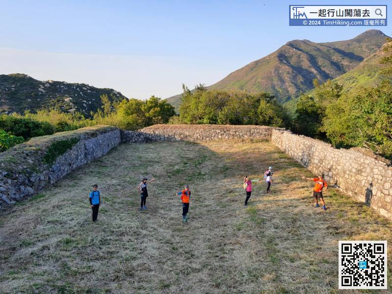
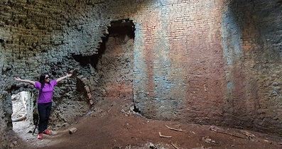
150︰The area of the fort is very large and it is worth to come.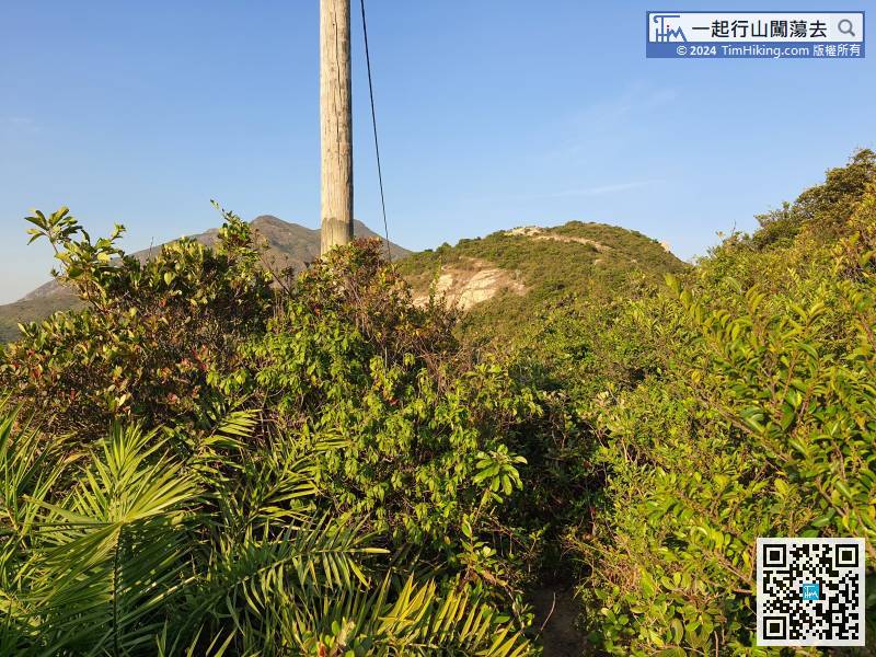
By the way, hikers have to leave as soon as possible after taking photos, and catch the last bus. Turn back along the same road of the electric poles,
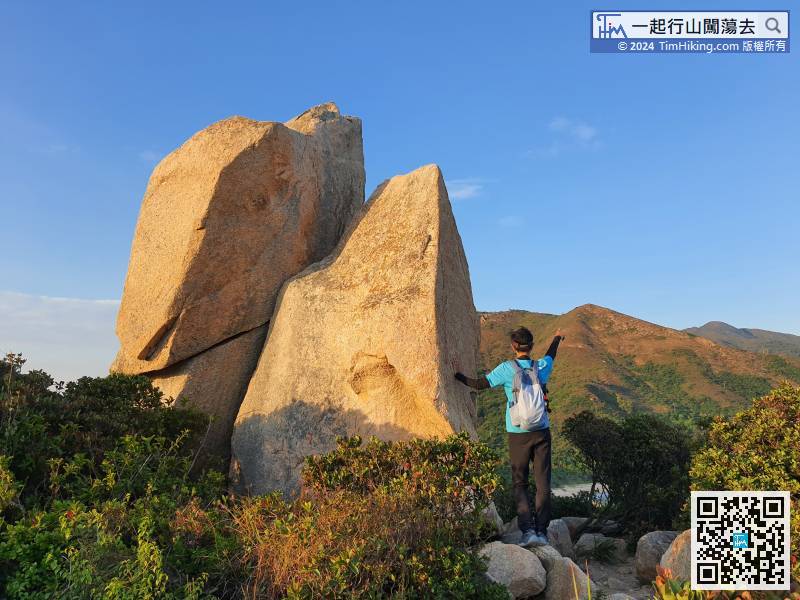
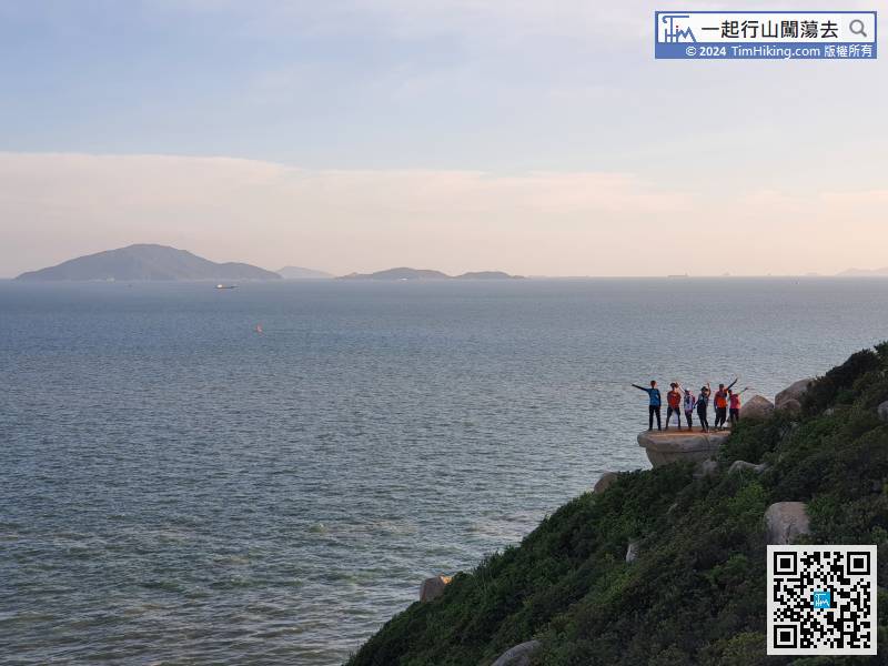
After returning to Fan Lau Stalagmite,


