


 Recommend YouTube


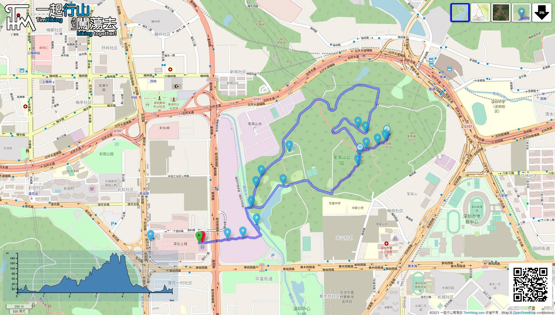
| View : |  | ||
| Difficulty : |  | ||
| Path : | |||
| Length : | 5.9km | ||
| Time : | 2hours | ||
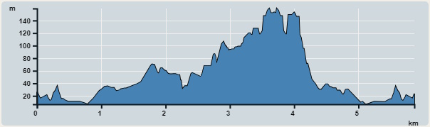 | |
| Ascent : 390m | Descent : 390m |
| Max : 159m | Min : 7m |
| (The accuracy of elevation is +/-30m) | |

 self-service vending machine
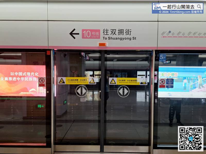
The starting point is Upper Hills. There are many ways to get there. The fastest and most convenient way is to take the Metro.
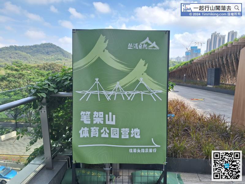
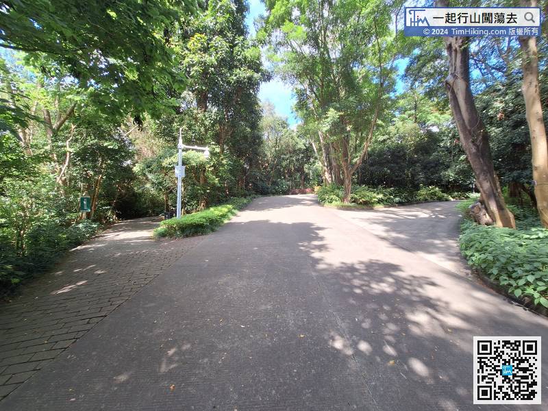
On the left you will find directions to BiJiaShan Sports Park,
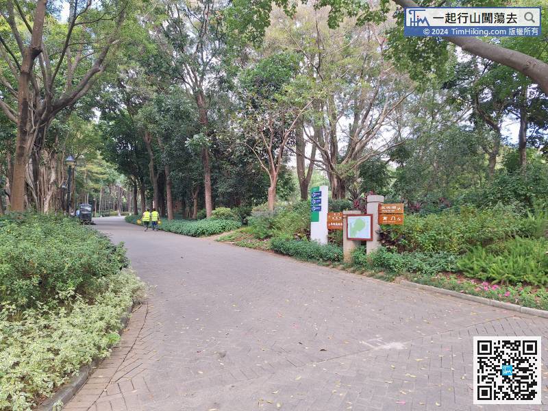
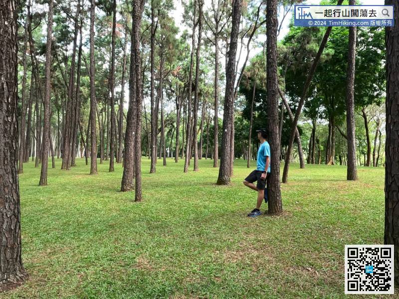
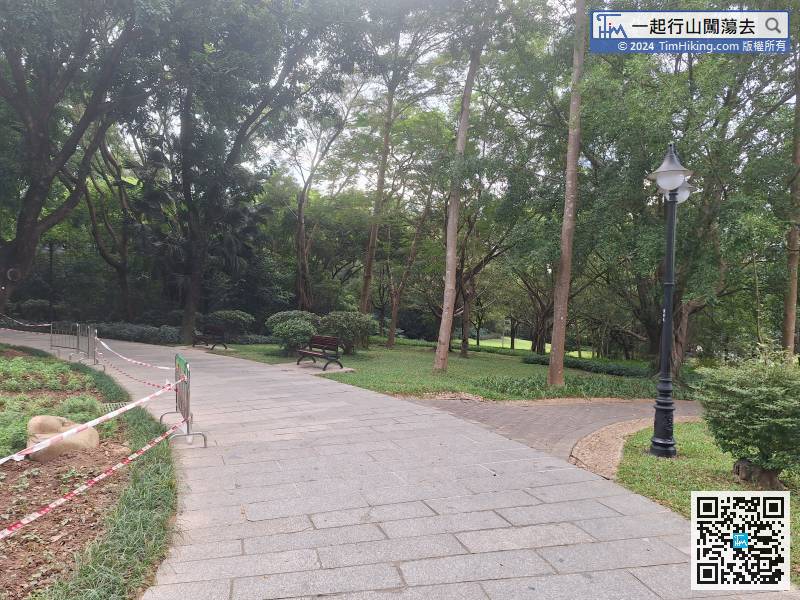
After entering BiJiaShan Park, first keep to the left.
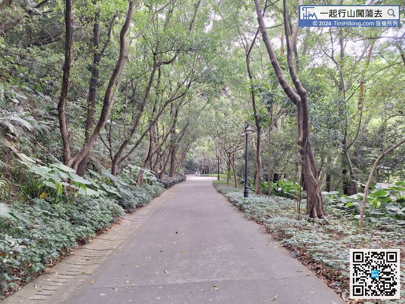
Pan Shan Road is a large slope to the top. The slope is only gentle and it is very easy to walk.
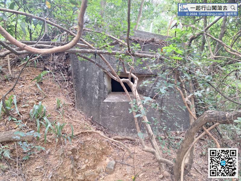
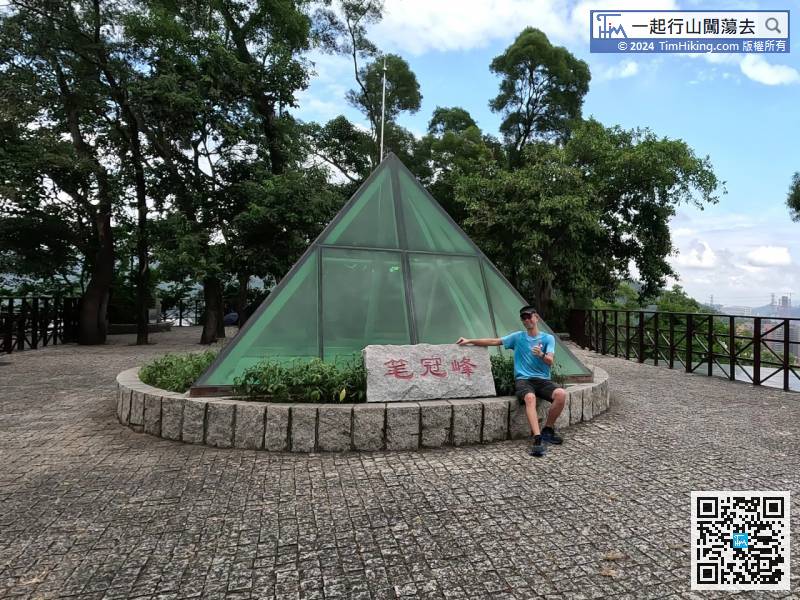
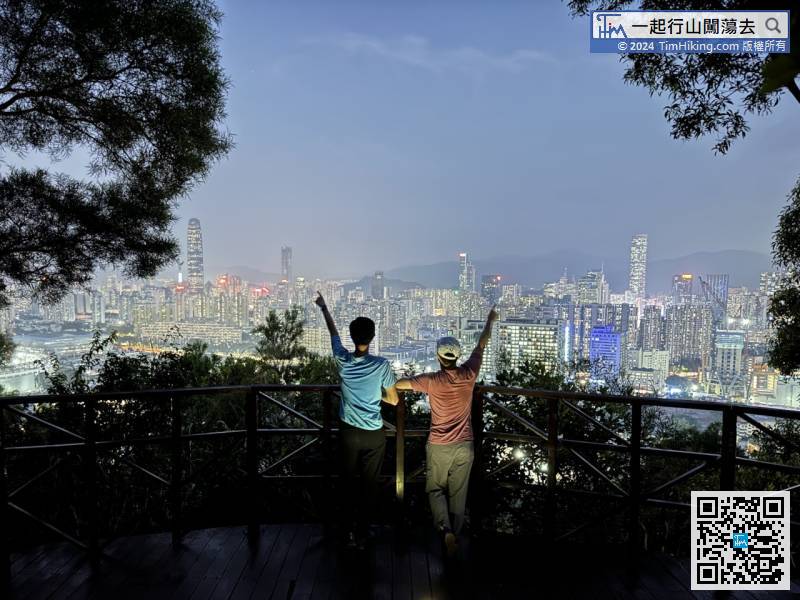
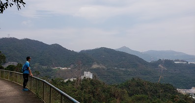
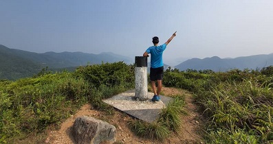
When you climb near the top, you will see a pillbox.
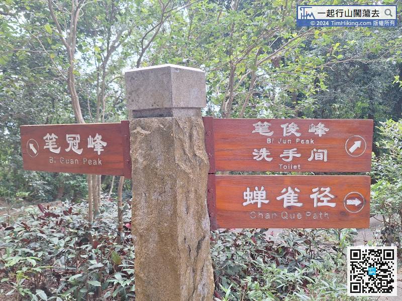
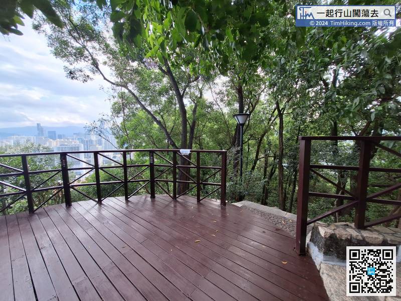
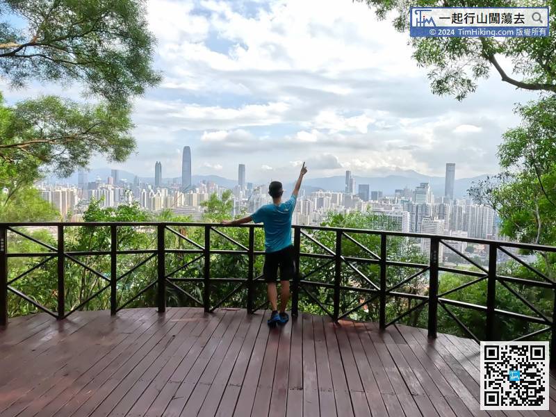
To leave, just follow the steps on the right side of the Viewing Point to go down the mountain.
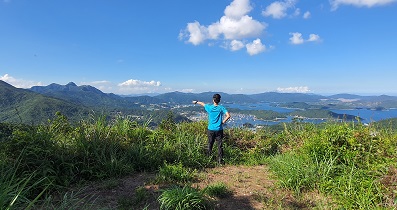
At this time, turn to the trail on the right


