


 Recommend YouTube


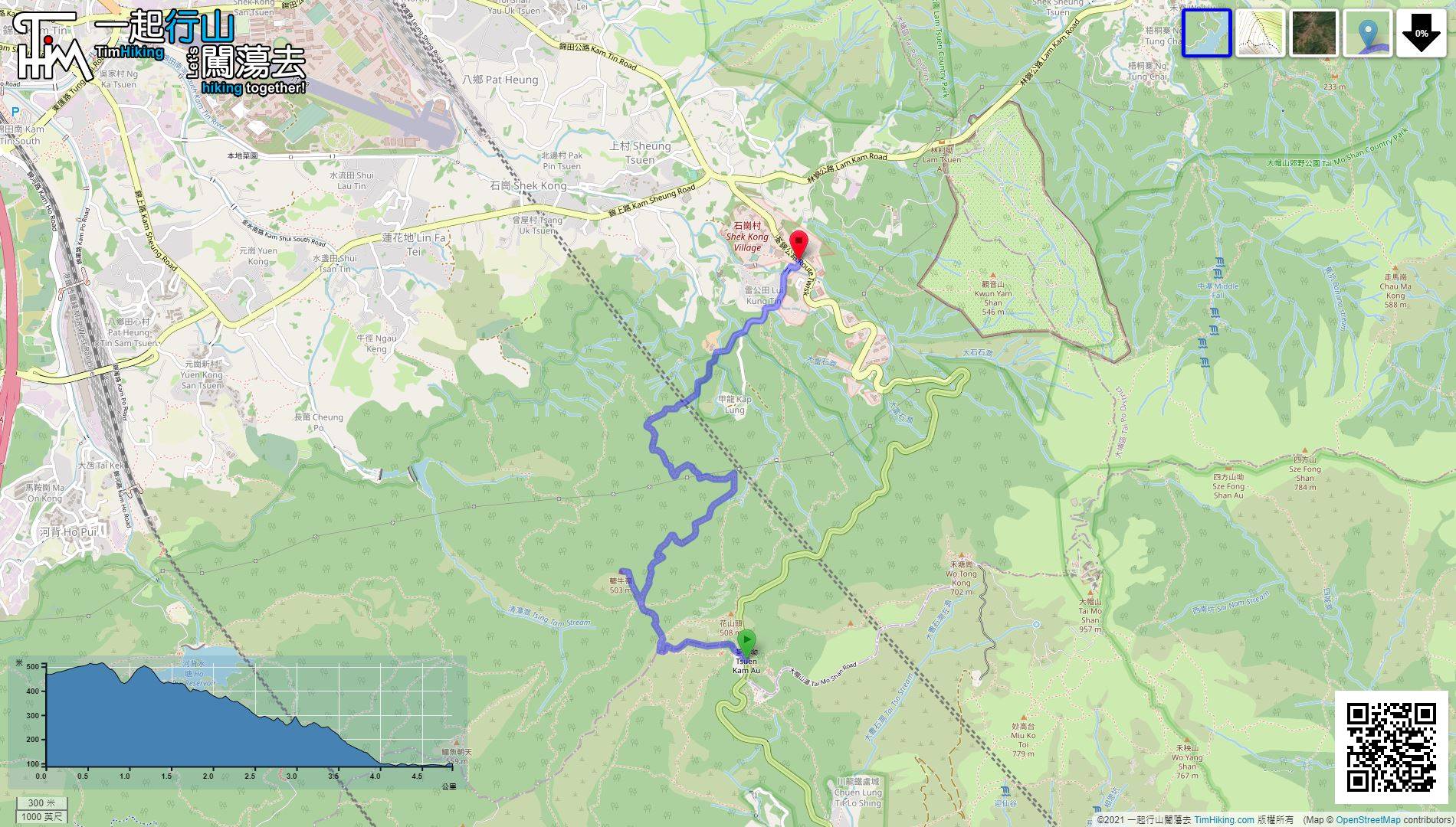
| View : |  | ||
| Difficulty : |  | ||
| Path : | |||
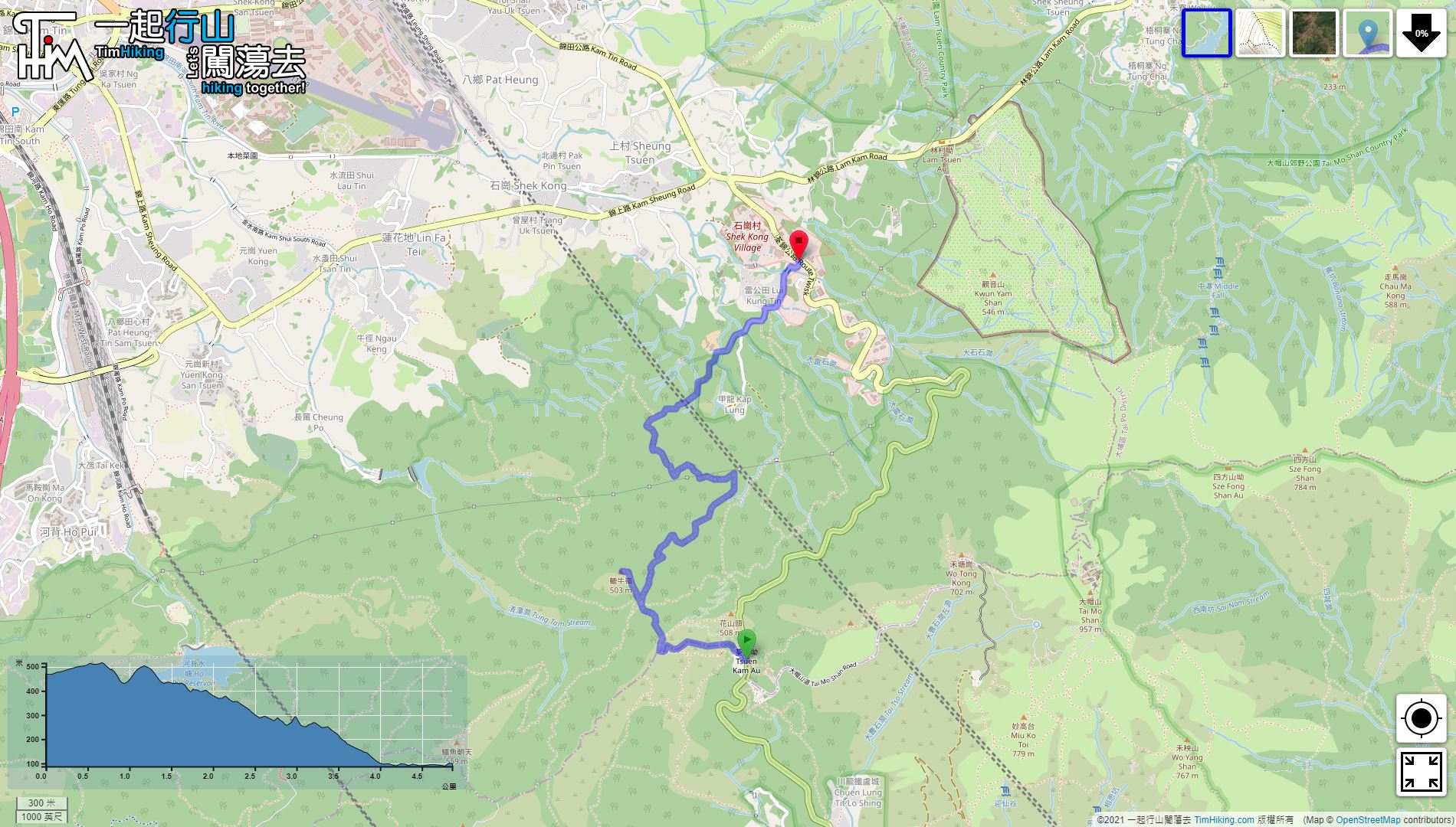
| Length : | 4.9km | ||
| Time : | 2hours | ||
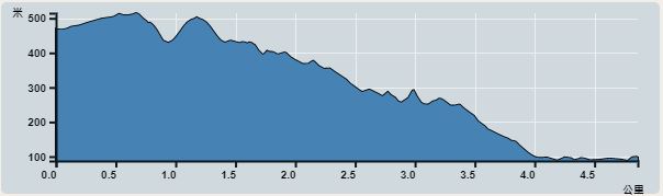 | |
| Ascent : 263m | Descent : 645m |
| Max : 510m | Min : 87m |
| (The accuracy of elevation is +/-30m) | |


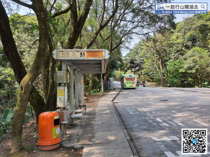
The starting point is Tai Mo Shan Country Park. You can take bus 51 to get there and get off at Tai Mo Shan Country Park bus stop.
 11︰comes to a bifurcation.
 15︰Look for a shortcut to the barren trail on the left-hand side of the helipad,
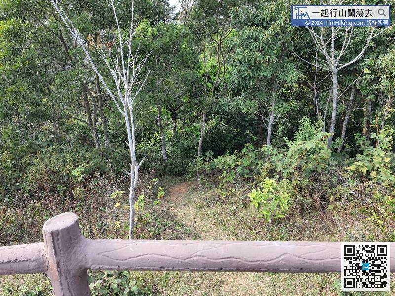
Look for a shortcut to the barren trail on the left-hand side of the helipad,
24︰As long as keep climbing,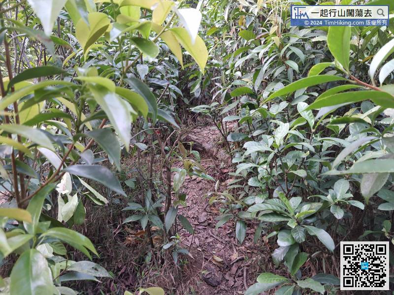
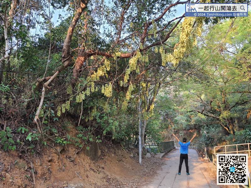
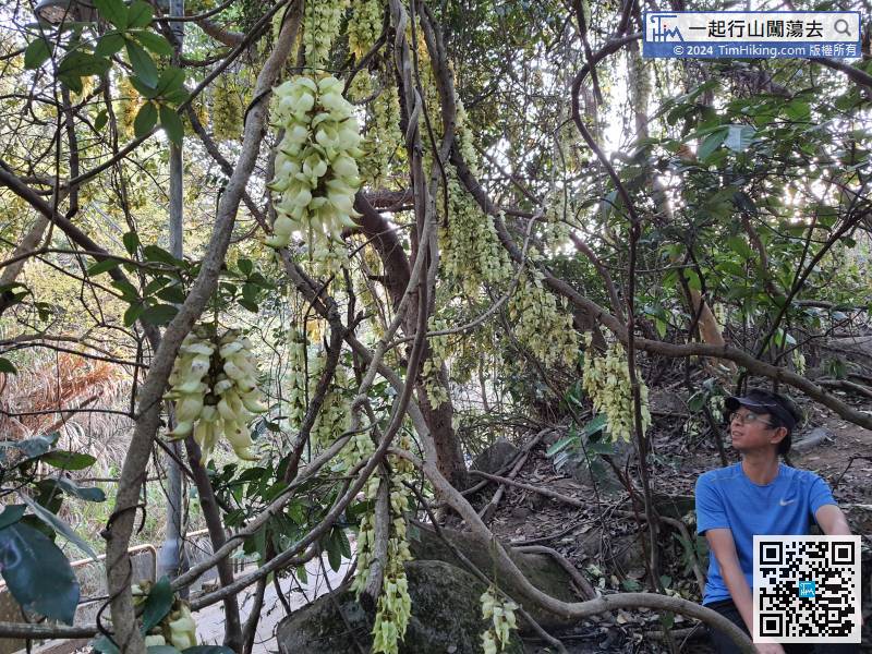
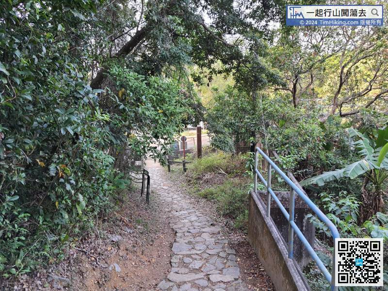
The grass in the section is a bit dense, but the road embryo is still very obvious.
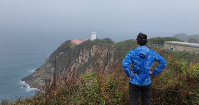
32︰Soon come to the first bridge.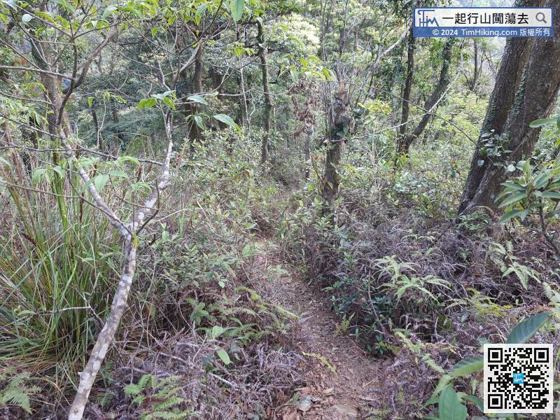 37︰barely can see Tai To Yan
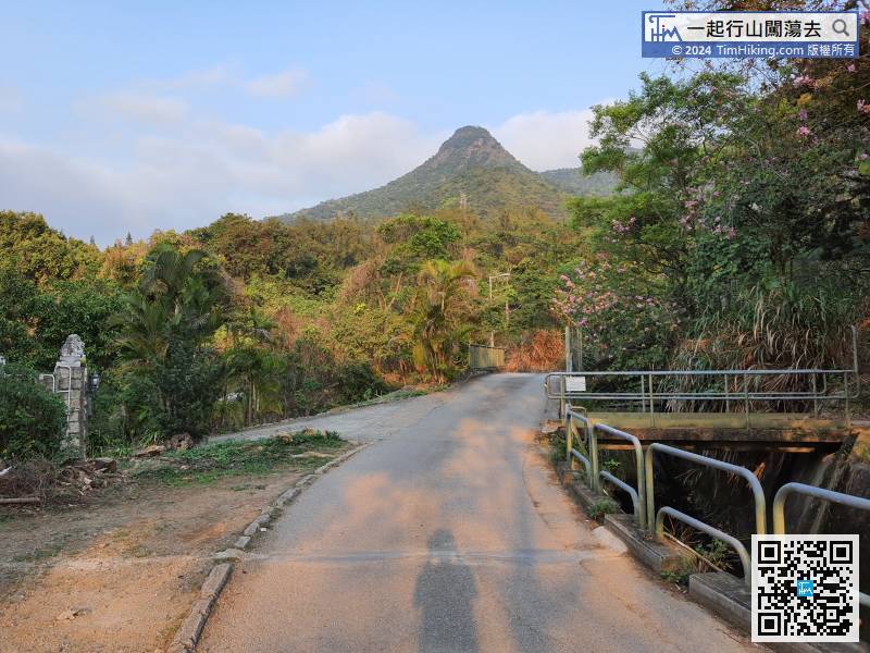
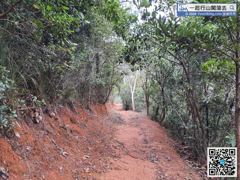
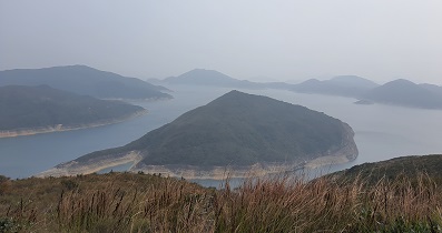
The entire Kap Lung Forest Trail is tree-lined. There are very few open scenery locations,
Because there is no open scenery, the downhill pacing become faster a lot, but it still took nearly 45 minutes.
51︰pay attention to the Barbecue Area,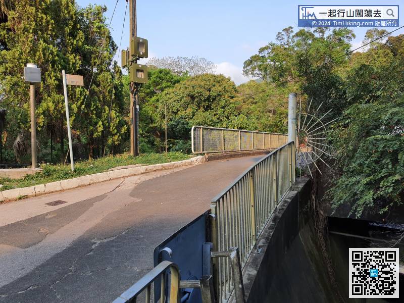


