一起行山闖蕩去

Double Haven Country Trail

Double Haven Country Trail  Login can add to my Favorite

 2020-12-04
 Total Views: 82,959     
 Map 「Double Haven Country Trail」路線Map
View :
Difficulty :
Path :
Length : 13.1km
Estimate : 5½hours
Ascent : 318m  Descent : 384m  Max : 118m  Min : 0m<br><p class='smallfont'>The accuracy of elevation is +/-30m

Ascent : 318mDescent : 384m
Max : 118mMin : 0m
(The accuracy of elevation is +/-30m)  
Section :
 
Trail 80%
Road 20%
Slope :
 
Ascent 318m (45%)
Descent 384m (55%)
Exposure :
 
80%
Climb :
 
 
Start Point :
Bus Minibus Taxi 
Support :
 
  Store
End Point :
Minibus Taxi 
 ©2024 一起行山闖蕩去 TimHiking.com


9︰After that, come to the small plain of Kau Tam Tso.
After getting off at the end of Wu Kau Tang Road, there is a car park with a new large pavilion next to it,


 ©2024 一起行山闖蕩去 TimHiking.com
23︰walked along the side of the stream,
After crossing a concrete bridge,


 ©2024 一起行山闖蕩去 TimHiking.com
37︰which is Sam A Chung.
The sign on the Country Trail is very clear, it is not easy to get lost.


 ©2024 一起行山闖蕩去 TimHiking.com
44︰Take a short break in Sam A Wan.
Take a short break in Sam A Wan.


 ©2024 一起行山闖蕩去 TimHiking.com
61︰After a short break, starting the journey of Sai Lau Kong.
There is a clear map bulletin board at the intersection,


 ©2024 一起行山闖蕩去 TimHiking.com
76︰on the left is Ngau Shi Wu Wan.
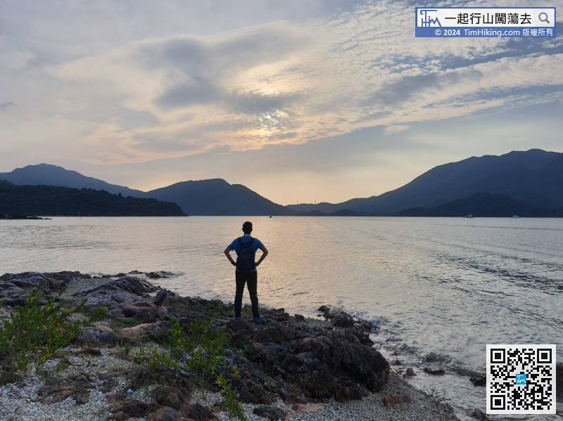
Soon, come to the shore,


 ©2024 一起行山闖蕩去 TimHiking.com
94︰Suddenly, the scenery becomes extremely open, and the Six Treasures of Double Haven appear at the same time.
Up to the top of the mountain, will find the Sai Lau Kong water decompression tank surrounded by barbed wire.


 ©2024 一起行山闖蕩去 TimHiking.com
107︰Just walking around
Sai Lau Kong Village currently still has several villagers living in it.


 ©2024 一起行山闖蕩去 TimHiking.com
125︰It is a luxury mountain trail, a part is built with big rocks.
After the break, return on the same road,


 ©2024 一起行山闖蕩去 TimHiking.com
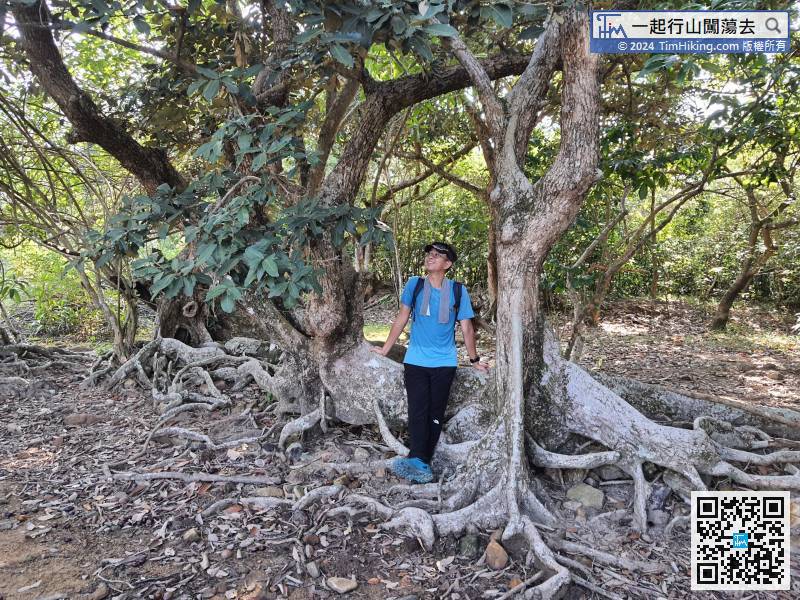
141︰can see the Autumn Maple Tree with Hollow,
Continue along the gravel trail and keep going to Lai Chi Wo at the bifurcation.


 ©2024 一起行山闖蕩去 TimHiking.com


 ©2024 一起行山闖蕩去 TimHiking.com


TimHiking【Double Haven Country Trail】Hong Kong Hiking Map

           
Markk :
Tim sir, 今日終於去探訪西流江,無力行20公里但不想完全行回頭路,於是設計了一條,行犁三古道去三椏村,跟郊遊徑去西流江,然後綑邊回牛屎湖碼頭接回郊遊徑回三椏村,再行苗三古道回烏蛟騰。只重複少少路線,不過其實都17·5公里,也算長線了。 (2022-02-13)
 
在確認浪潮下,綑邊都可錯,不過其實都不短,要確認水位長期低位才可。 (Tim Sir 2022-02-13)
Greenhorn :Tim Sir, 可唔可以經三椏碼頭那邊綑邊三椏灣,拗魚咀去西流江呢?如果可行便不須走回頭路! (2021-04-21)
 
可以,不過要退一點才可確保不用濕腳。 (Tim Sir 2021-04-21)

Alias:      Email: 
   

😄
* Photos can only be personal or landscape photos, and group photos are authorized for portrait rights by default. In addition, headshots, dangerous shots, or photos containing promotional elements are not accepted.
* The shared content may be published after revision. The content must be absolutely positive. If it does not meet the standards, the content will be deleted.
* The message will be approved within one day, and the final decision-making authority will be reserved for TimHiking.

 Thanks a lot! Hope our hiking information is helpful to you. Everyone is happy to go hiking and safely!
 Welcome to use  Payme   AlipayHK  to sponsor Tim Sir's efforts! Continue to give selflessly for the mountain world.

不要自以為有智慧;要敬畏耶和華,遠離惡事。

箴言 3:7