一起行山闖蕩去

Lantau Peak

Lantau Peak  Login can add to my Favorite

 2017-12-14
 Total Views: 60,706     (Last Updated︰2021-11-05)
 Map 「Lantau Peak」路線Map
View :
Difficulty :
Path :
Length : 5.2km
Estimate : 2hours
Ascent : 563m  Descent : 563m  Max : 895m  Min : 332m<br><p class='smallfont'>The accuracy of elevation is +/-30m

Ascent : 563mDescent : 563m
Max : 895mMin : 332m
(The accuracy of elevation is +/-30m)  
Section :
 
Trail 50%
Stairs 50%
Slope :
 
Ascent 563m (50%)
Descent 563m (50%)
Exposure :
 
100%
Climb :
 
 
Start Point :
Bus Taxi Tram 
Support :
 
 
End Point :
Bus Taxi 
 ©2024 一起行山闖蕩去 TimHiking.com


To Wisdom Path
To Wisdom Path


 ©2024 一起行山闖蕩去 TimHiking.com
begins hazy
begins hazy


 ©2024 一起行山闖蕩去 TimHiking.com
Go down to Pak Kung Au


 ©2024 一起行山闖蕩去 TimHiking.com


TimHiking【Lantau Peak】Hong Kong Hiking Map


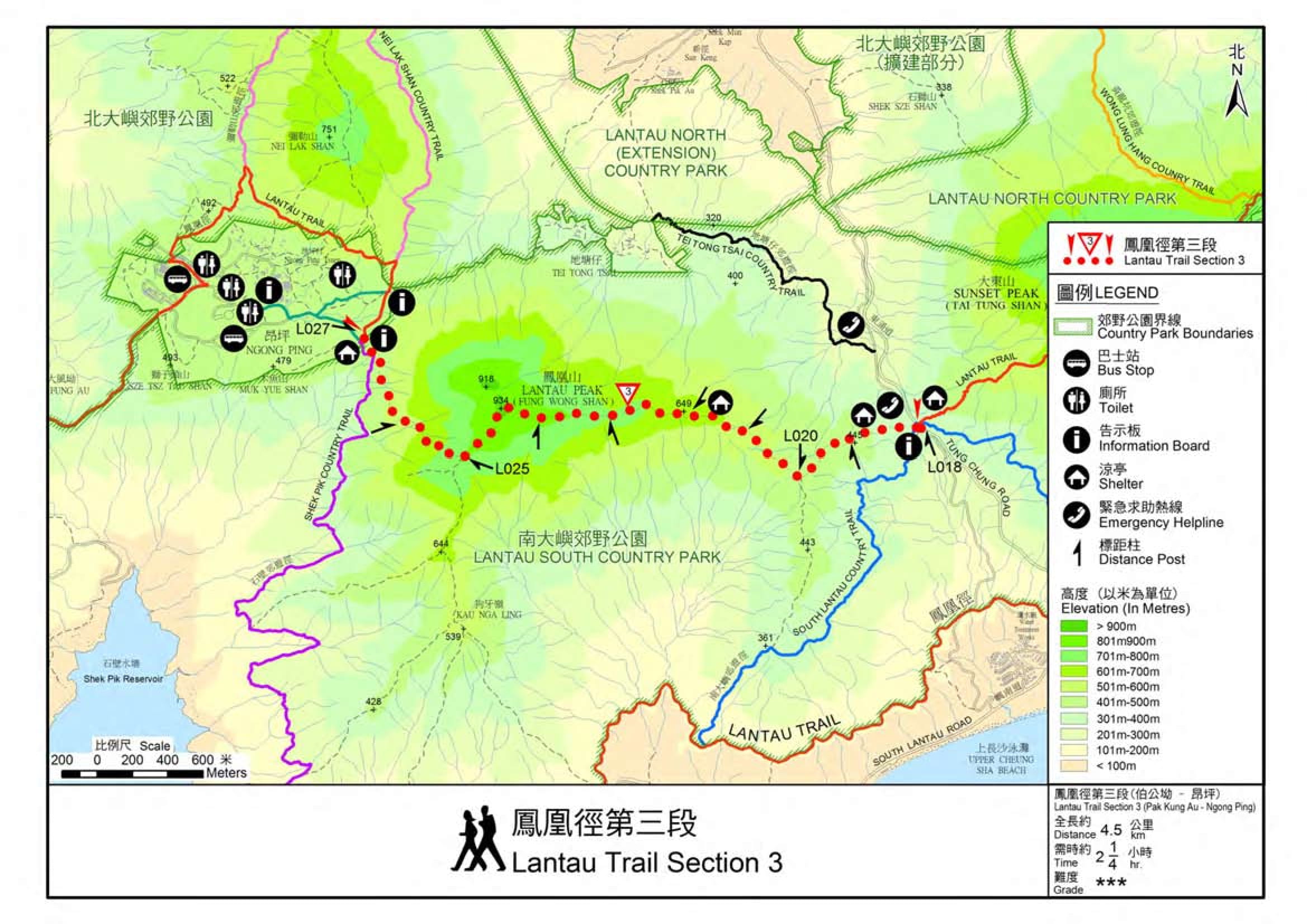
Official Map

Official Map

Alias:      Email: 
   

😄
* Photos can only be personal or landscape photos, and group photos are authorized for portrait rights by default. In addition, headshots, dangerous shots, or photos containing promotional elements are not accepted.
* The shared content may be published after revision. The content must be absolutely positive. If it does not meet the standards, the content will be deleted.
* The message will be approved within one day, and the final decision-making authority will be reserved for TimHiking.

 Thanks a lot! Hope our hiking information is helpful to you. Everyone is happy to go hiking and safely!
 Welcome to use  Payme   AlipayHK  to sponsor Tim Sir's efforts! Continue to give selflessly for the mountain world.

大山可以挪開,小山可以遷移,但我的慈愛必不離開你,我平安的約也不遷移;這是憐憫你的耶和華説的。

以賽亞書 54:10 和修版