


 Recommend YouTube

| View : |  | ||
| Difficulty : |  | ||
| Path : | |||
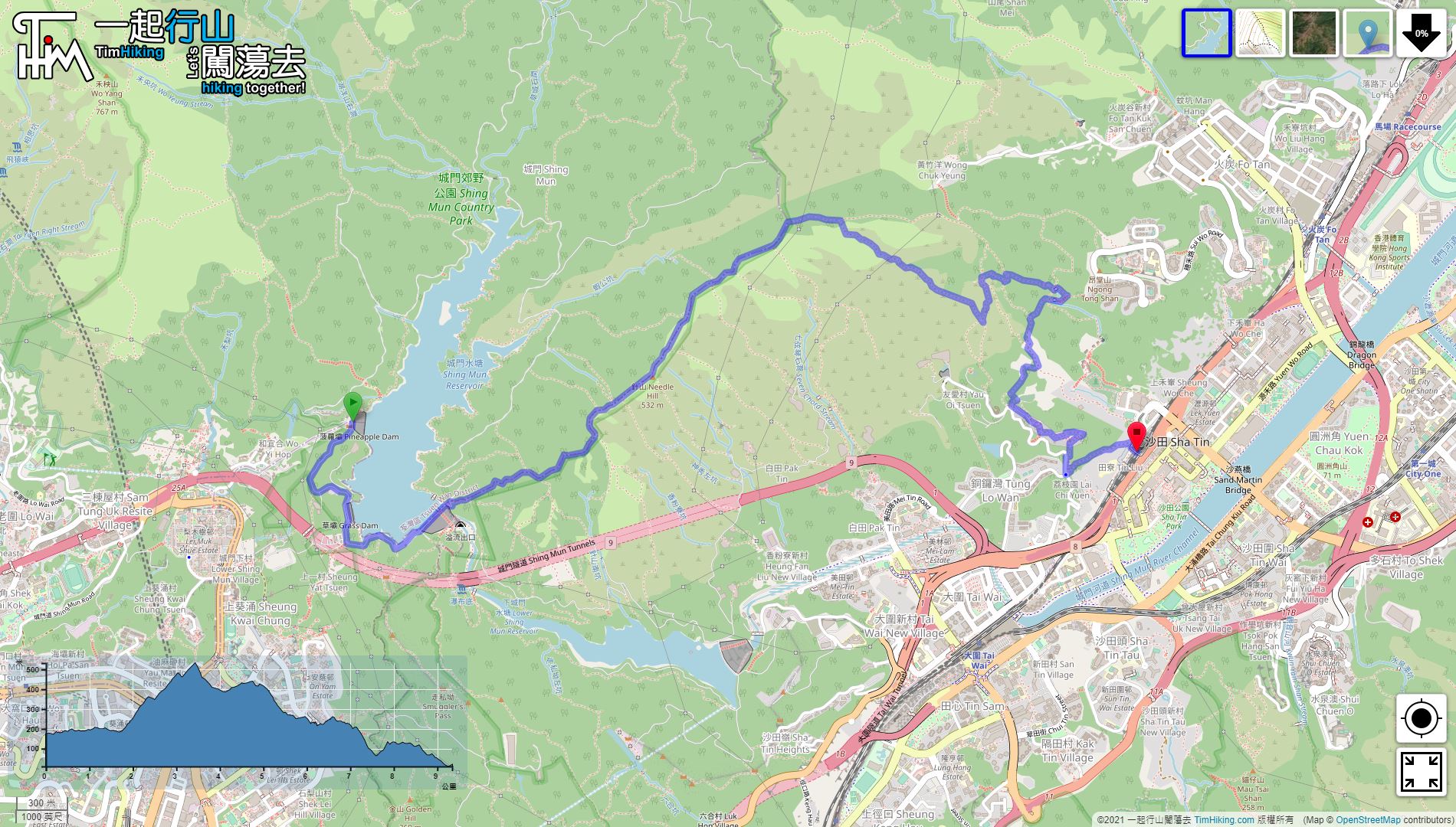
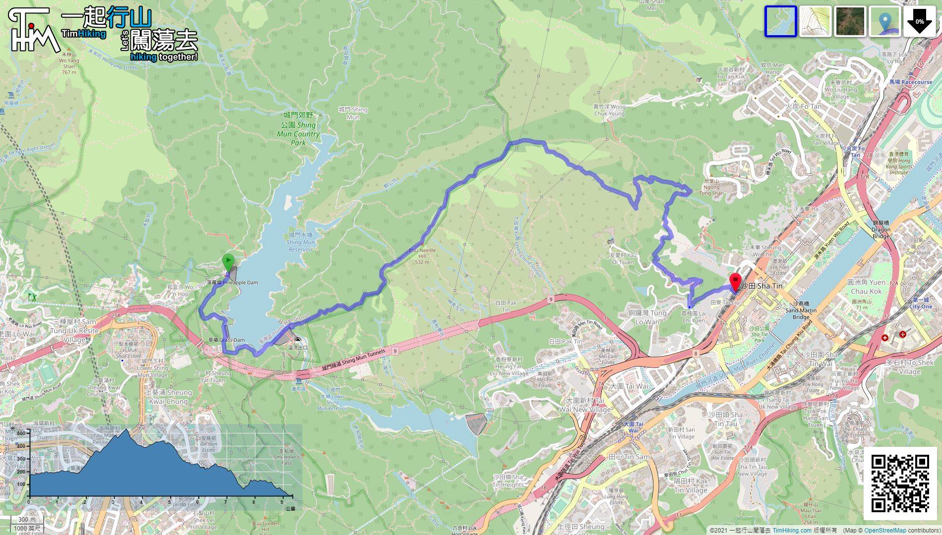
| Length : | 9.5km | ||
| Time : | 4hours | ||
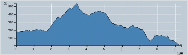 | |
| Ascent : 724m | Descent : 871m |
| Max : 494m | Min : 10m |
| (The accuracy of elevation is +/-30m) | |


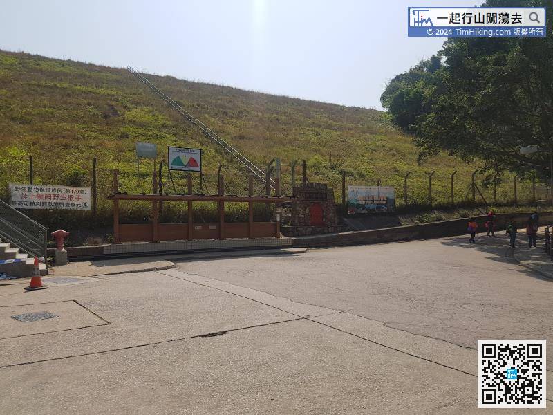
take minibus 82 at Tsuen Wan Chuen Lung Street and get off at the terminus.


| View : | | ||
| Difficulty : | | ||
| Path : | |||
| Length : | 9.5km | ||
| Time : | 4hours | ||
| |
| Ascent : 724m | Descent : 871m |
| Max : 494m | Min : 10m |
| (The accuracy of elevation is +/-30m) | |
一起爬山闖蕩去 | timhiking | timhiking | timhiking | Message Board | Disclaimer


