


 Recommend YouTube


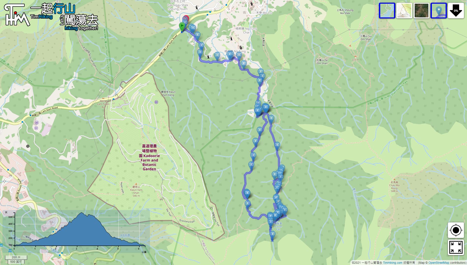

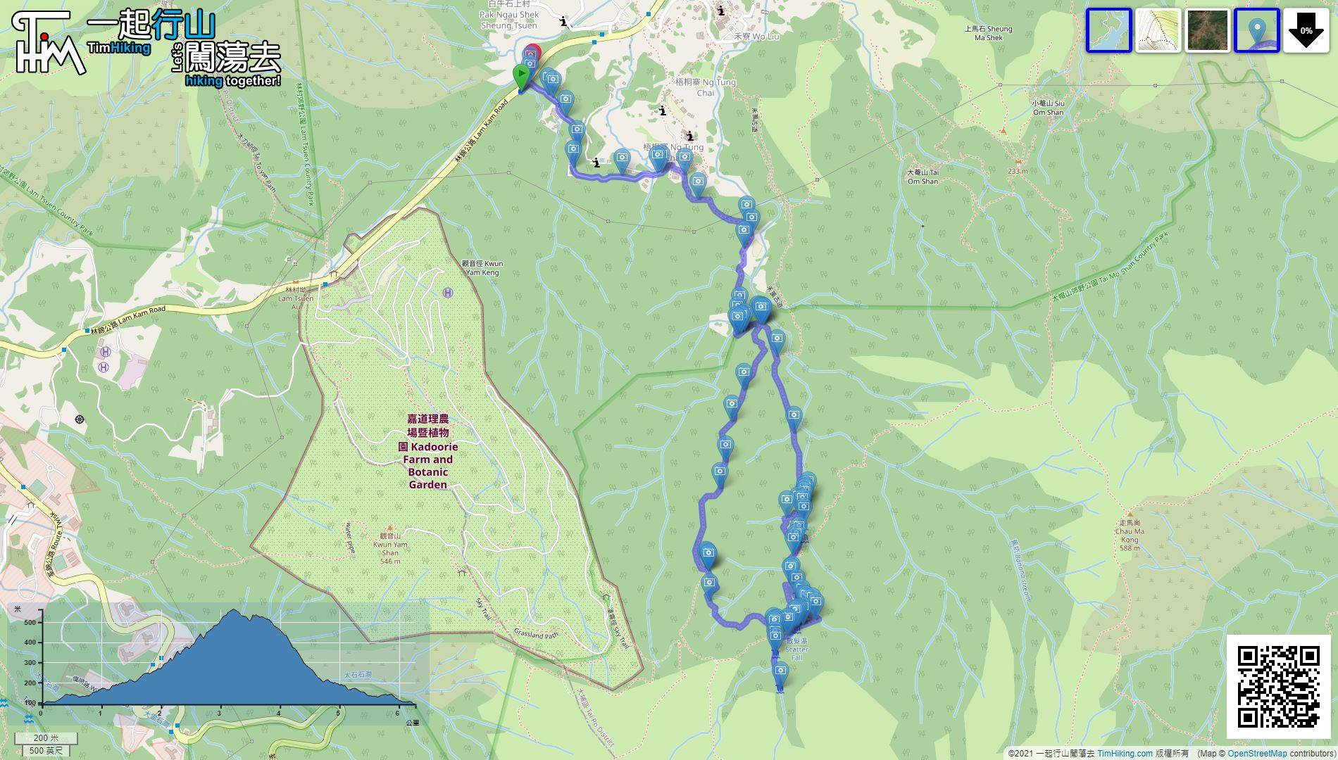
| View : |  | ||
| Difficulty : |  | ||
| Path : | |||
| Length : | 6.3km | ||
| Time : | 3½hours | ||
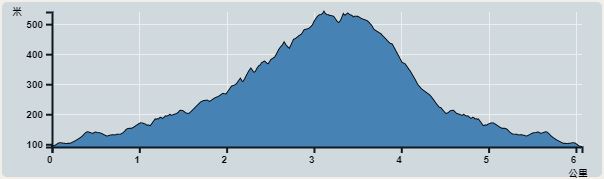 | |
| Ascent : 691m | Descent : 694m |
| Max : 564m | Min : 91m |
| (The accuracy of elevation is +/-30m) | |


 Man Tak Yuen
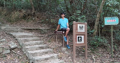
 8︰until reaching a bifurcation on the ground.
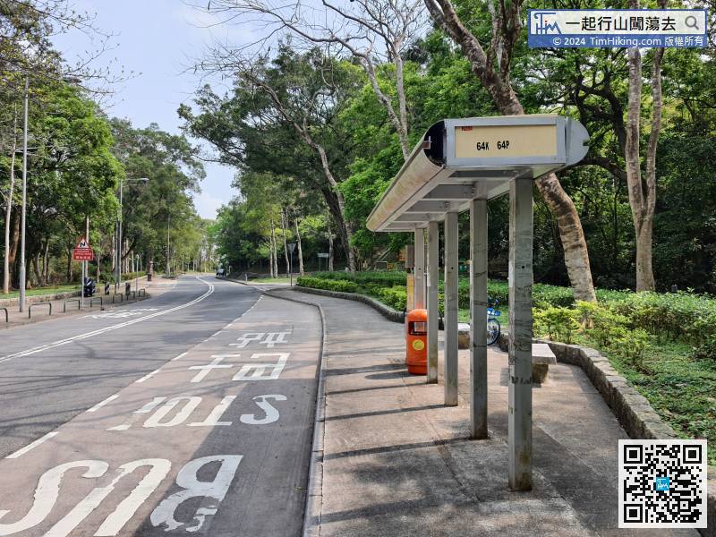
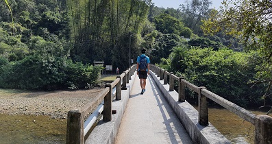
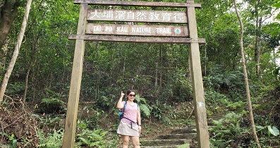
To Ng Tung Chai WaterFalls, you can take a bus 64K or minibus 25K at Tai Po Market and get off at Ng Tung Chai Station.
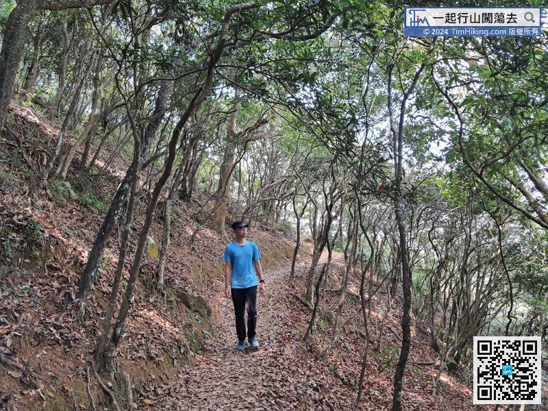
17︰Starting to walk into the mountain trail,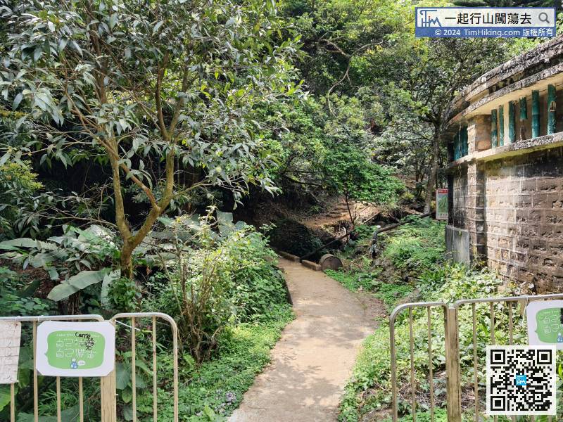

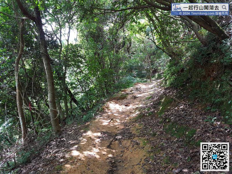
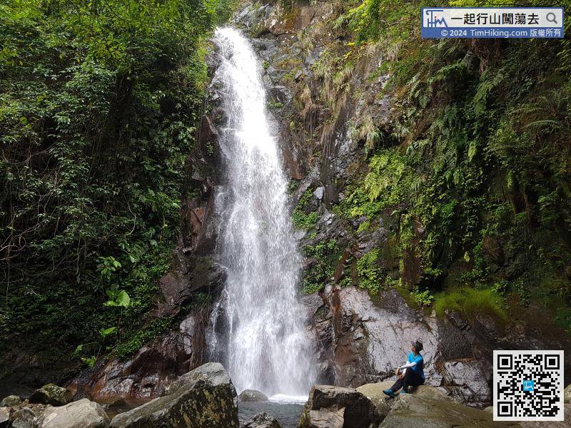
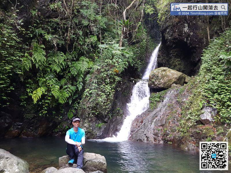
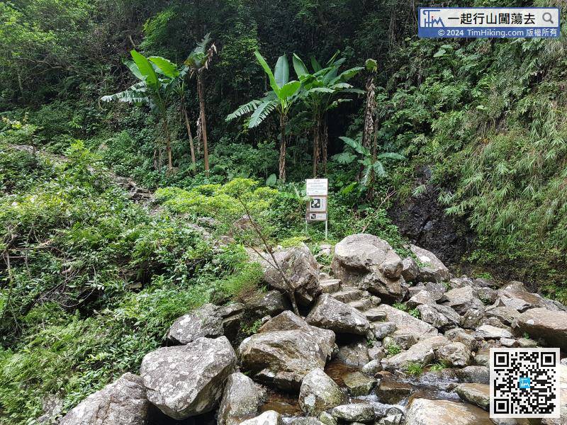
To the first WaterFalls Ng Tung Chai Bottom Falls, it takes about 20 minutes.
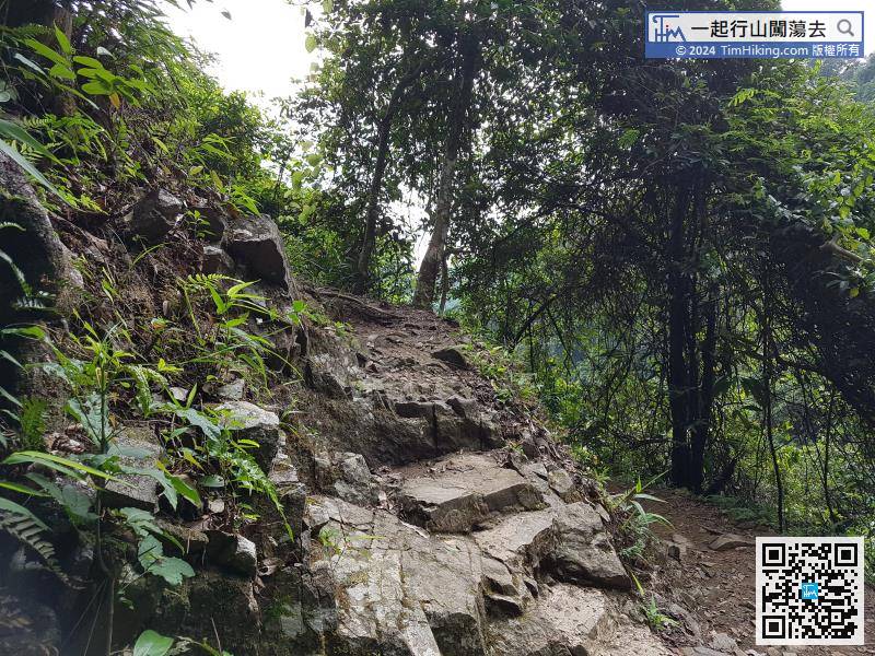
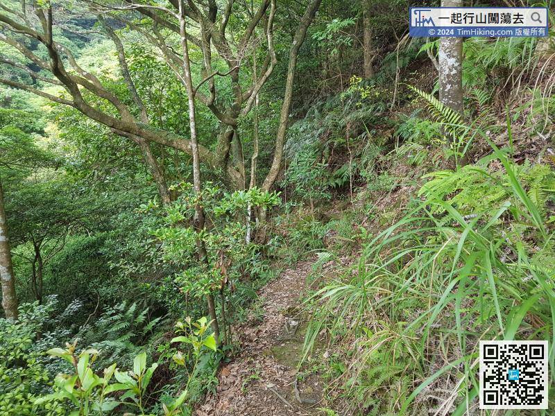
From Middle Falls to Main Falls, there is a little distance. It takes about half an hour to walk slowly.

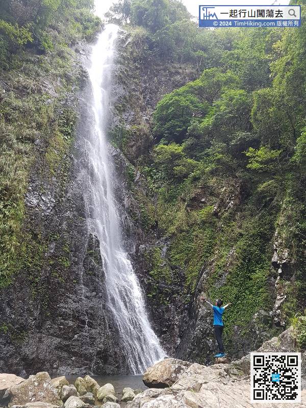
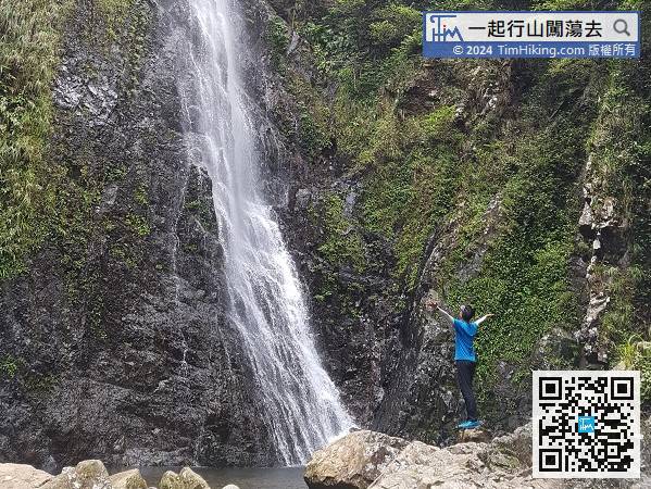
The Main Falls is about 30 meters high and is the tallest one among the Ng Tung Chai WaterFalls.
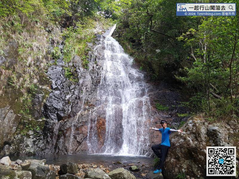
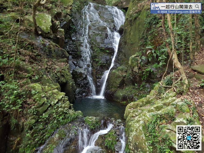
The next destination is Scatter Falls. Hikers must first go through the stream of Main Falls and head to the opposite mountain trail.
55︰At the end of the stone steps, there is a barren trail on the left, is leading to Jade Girl Falls, and the difficulty will be temporarily increased to 4 stars; the right way is leading to Tai Mo Shan, can also go back to the starting point.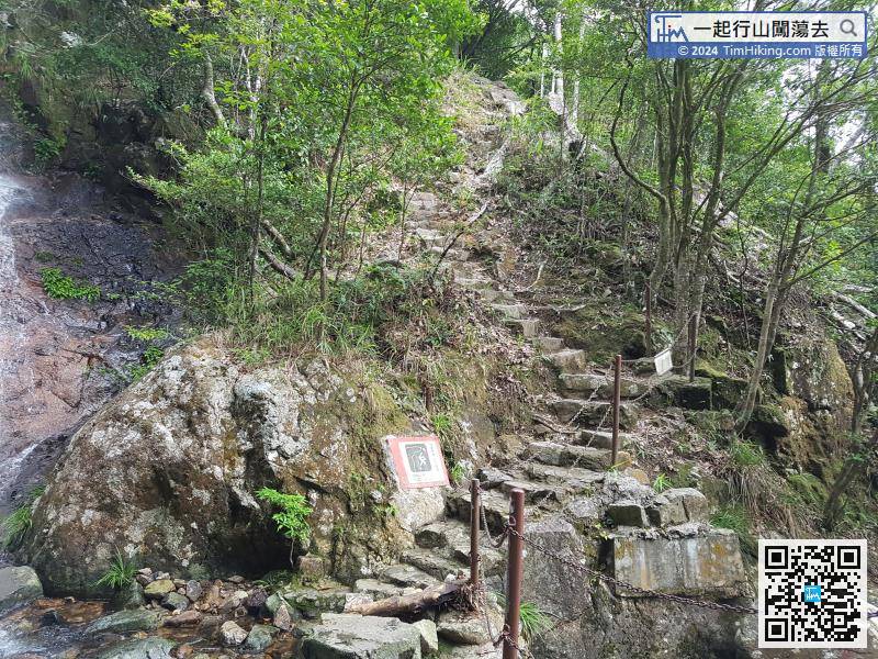
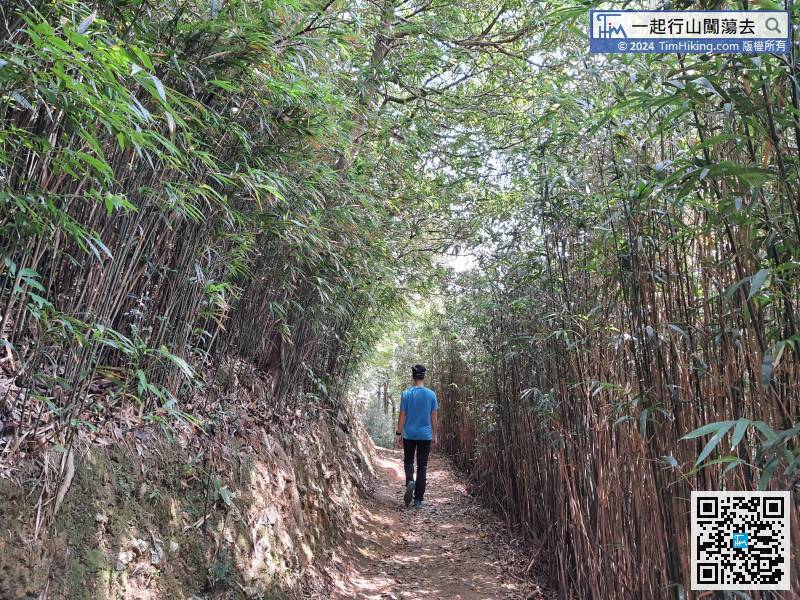
 62︰On the way, will pass a large bamboo forest, which is pretty beautiful.
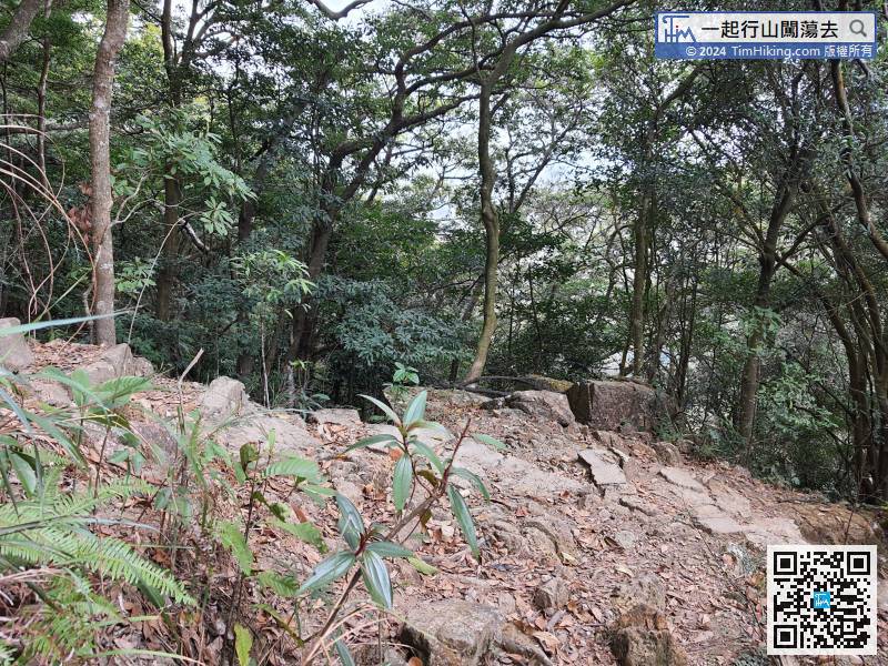


