


 Recommend YouTube


| View : |  | ||
| Difficulty : |  | ||
| Path : | |||
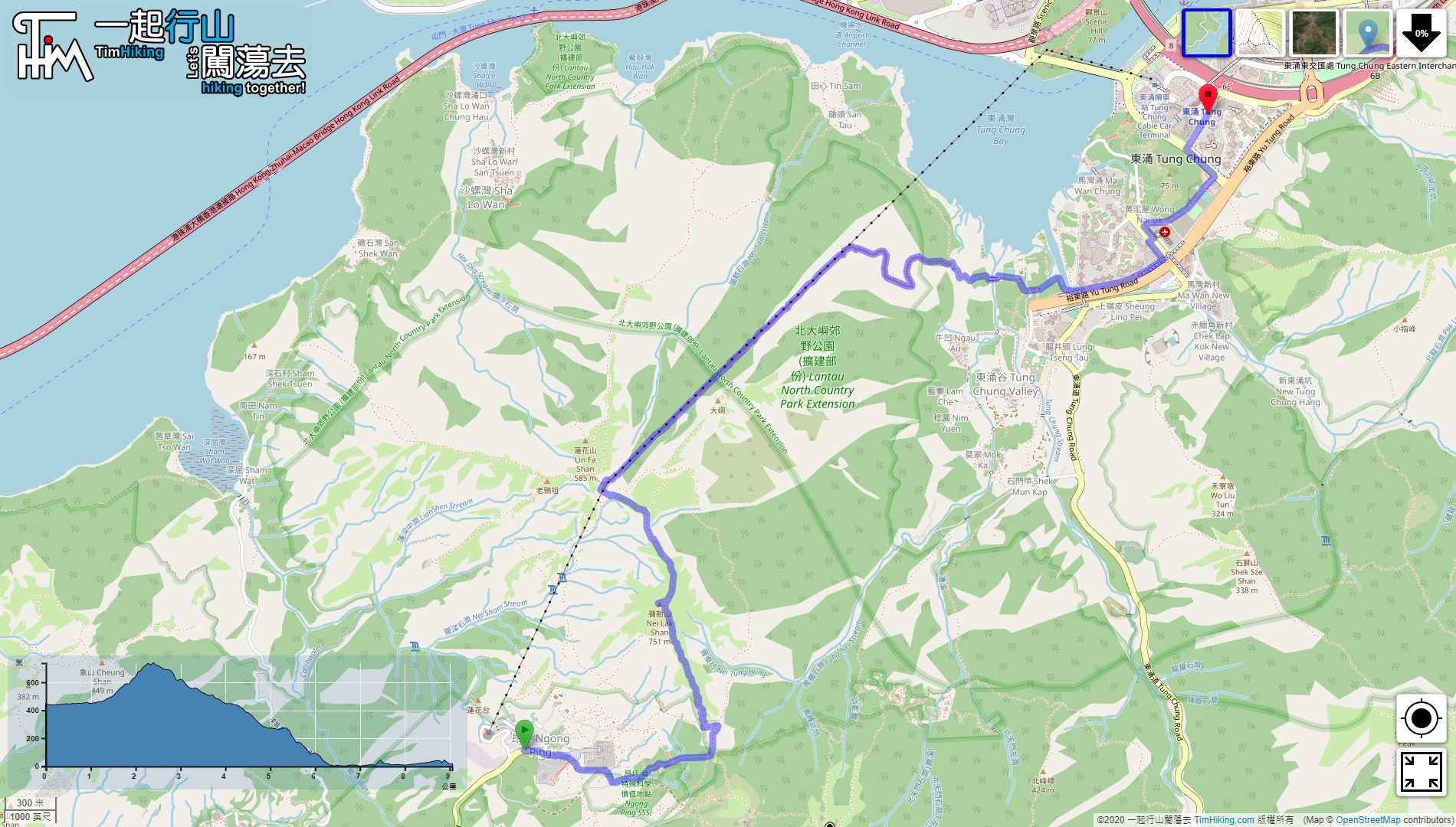
| Length : | 9km | ||
| Time : | 3½hours | ||
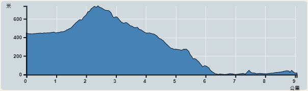 | |
| Ascent : 498m | Descent : 921m |
| Max : 738m | Min : 0m |
| (The accuracy of elevation is +/-30m) | |


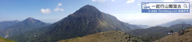
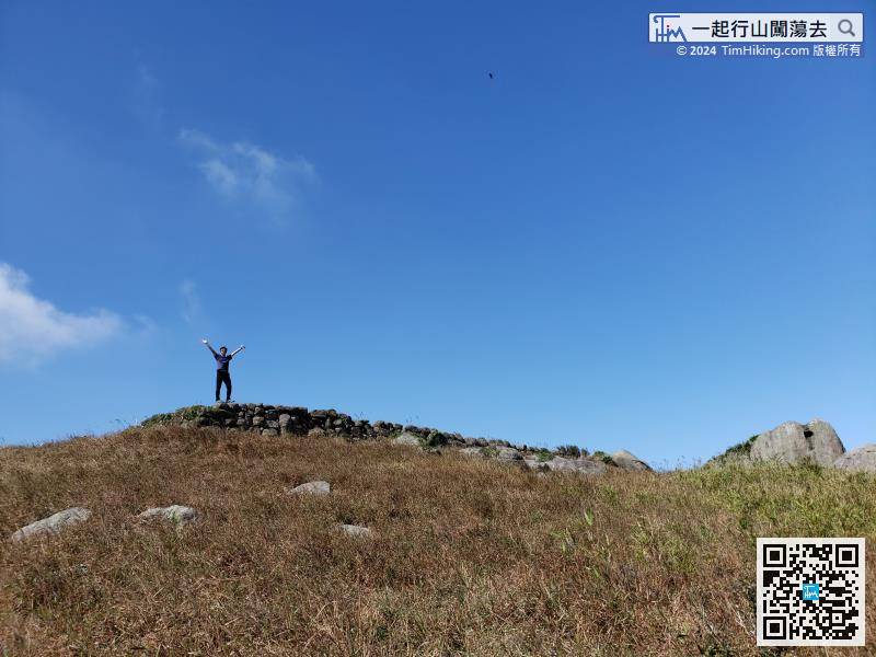
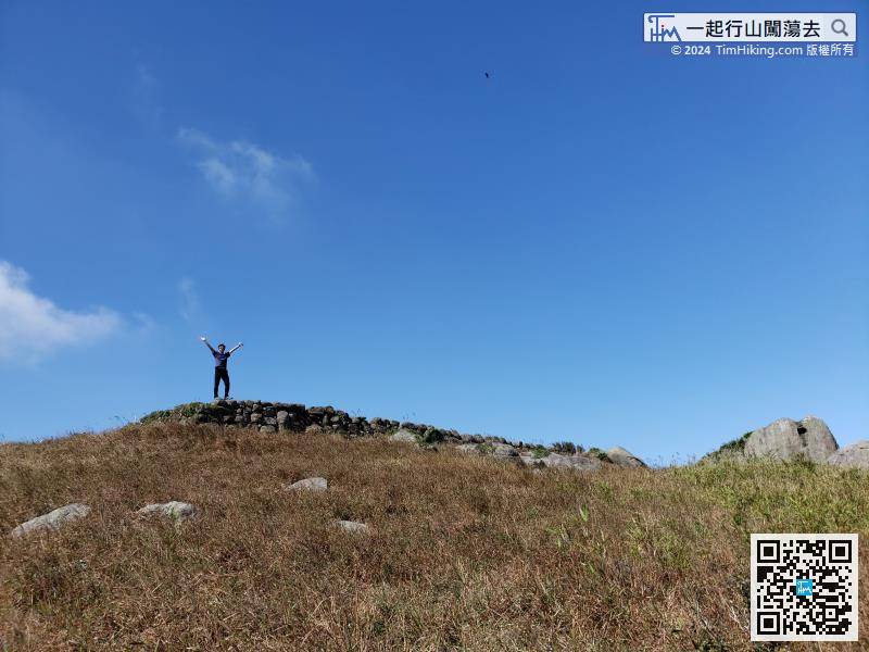
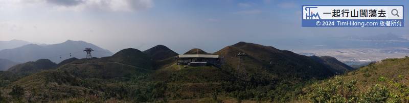
At the top of the mountain, there is a row of weird stone walls, but there are no buildings. It seems to be stacked to level the top of the mountain.

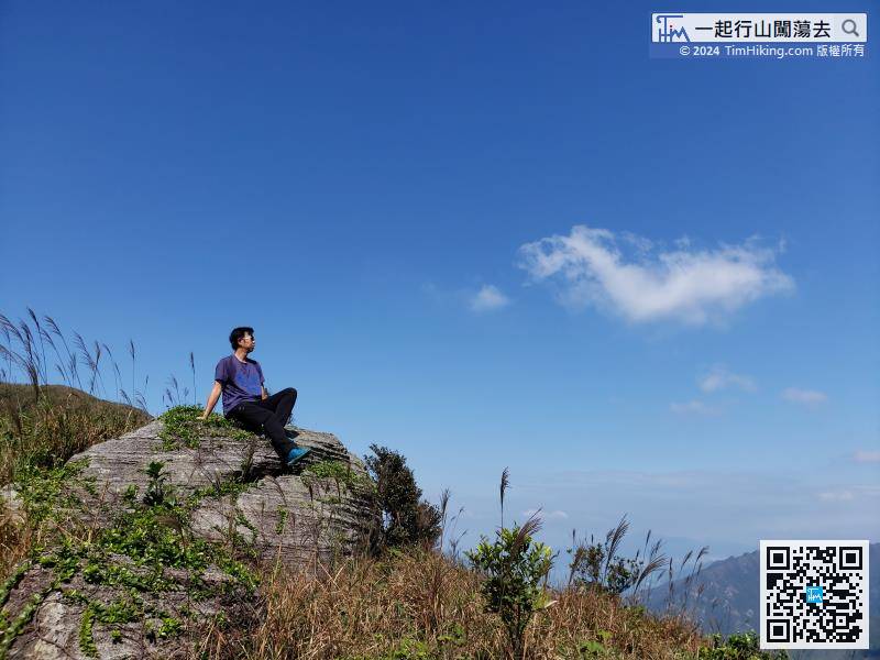
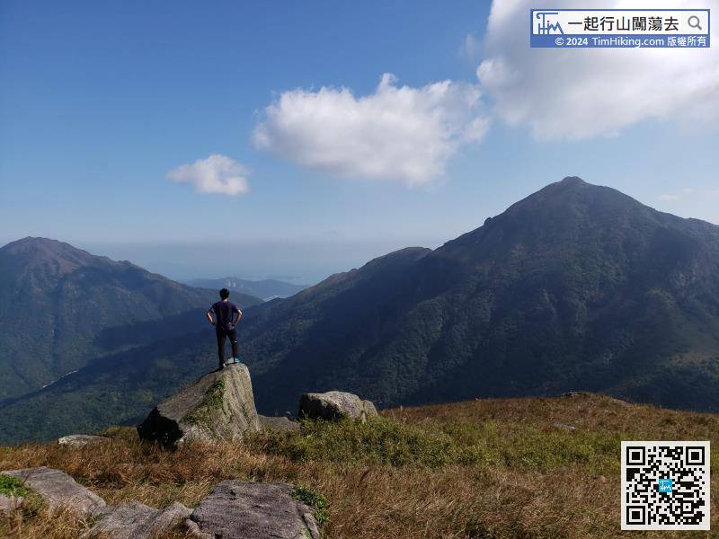
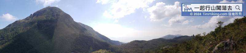
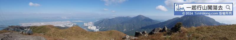
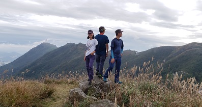
Go back to the other end of the trigonometrical station, look at Lantau Peak on the right, and Sunset Peak on the left. It is magnificent.
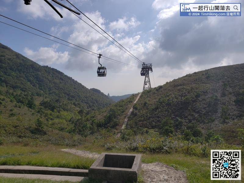
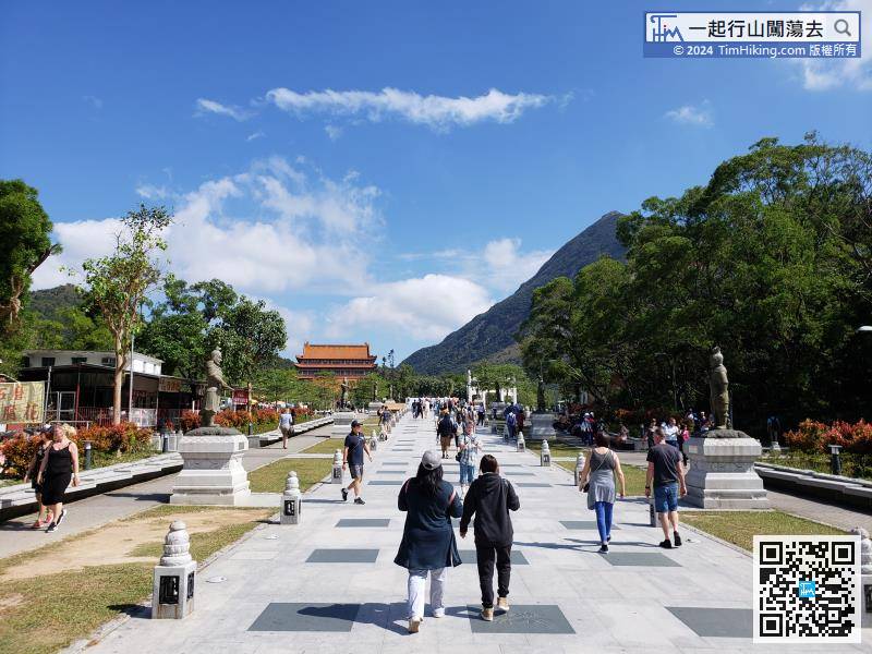
If do not want to get off Tung Chung, hikers can turn left at the turning station and walk for about 2km to reach Ngong Ping Village in less than half an hour.
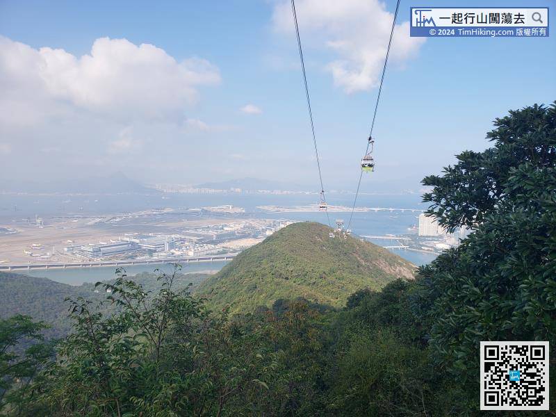
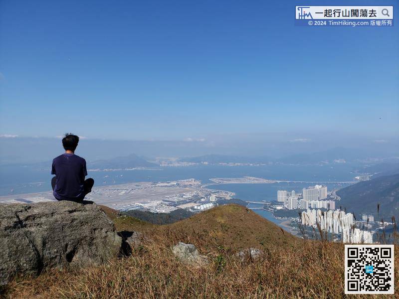
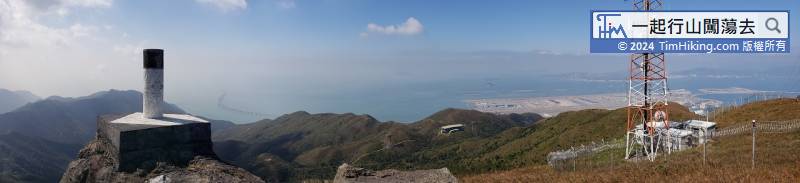
On the left-hand side, will see aeroplanes going up and down from time to time. Be careful not to watch while walking, it is very dangerous.


