


 Recommend YouTube


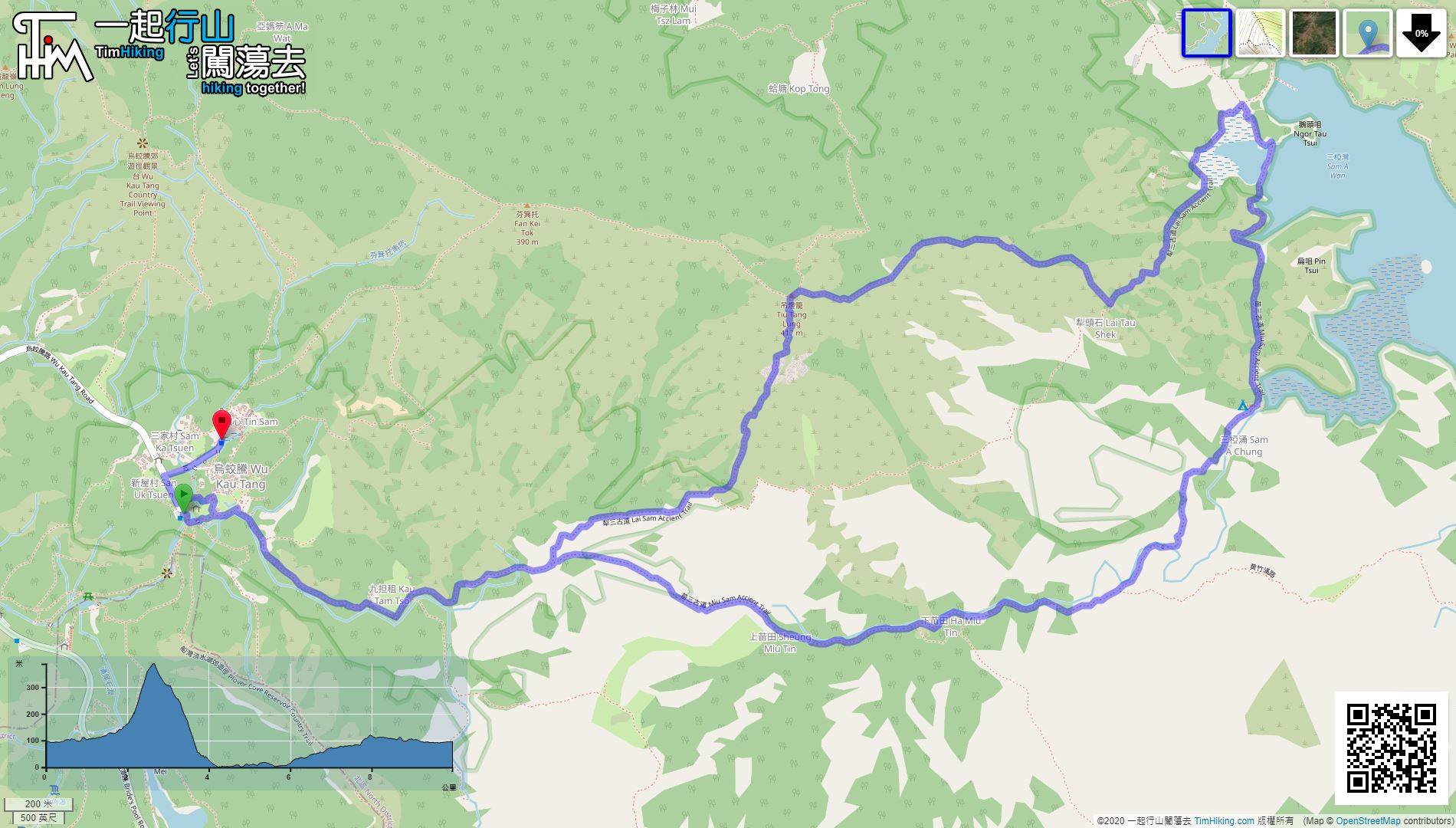
| View : |  | ||
| Difficulty : |  | ||
| Path : | |||
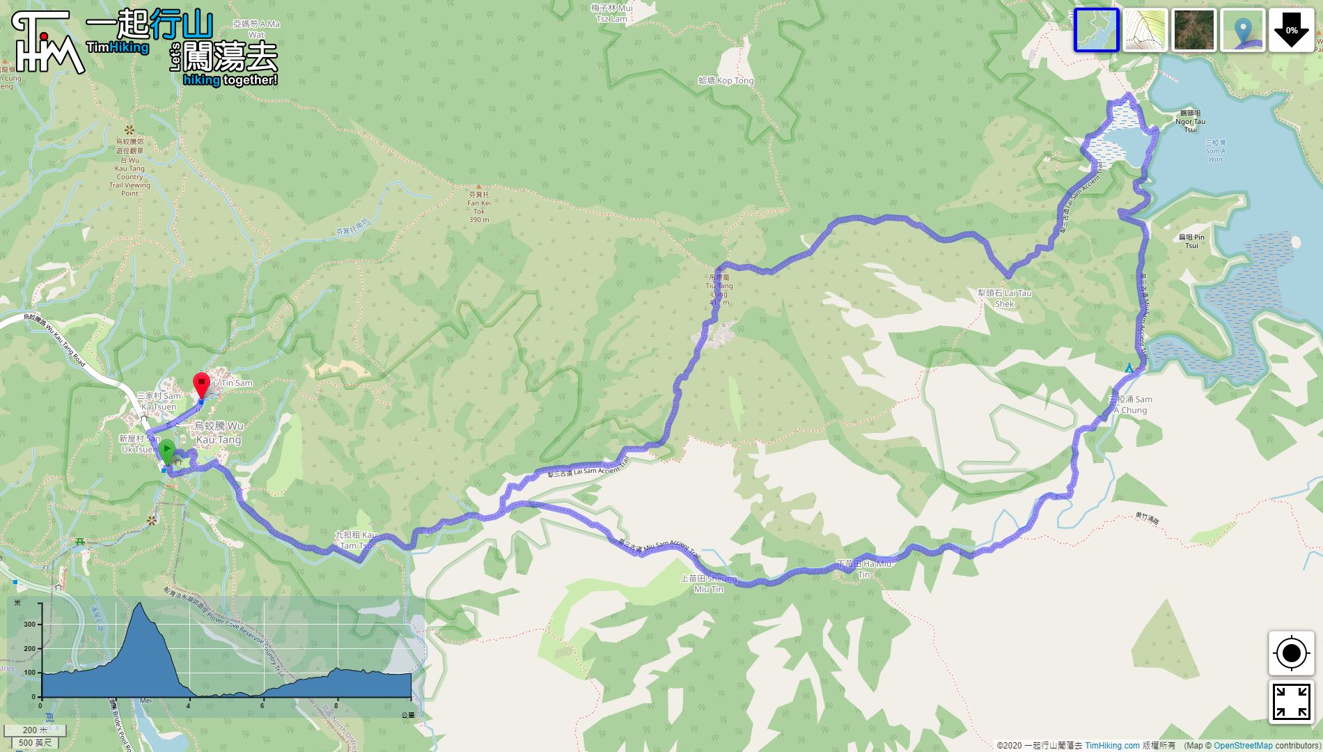
| Length : | 10km | ||
| Time : | 5hours | ||
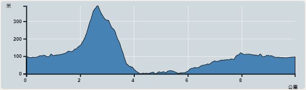 | |
| Ascent : 386m | Descent : 381m |
| Max : 388m | Min : 0m |
| (The accuracy of elevation is +/-30m) | |


 Sam A Tsuen Store
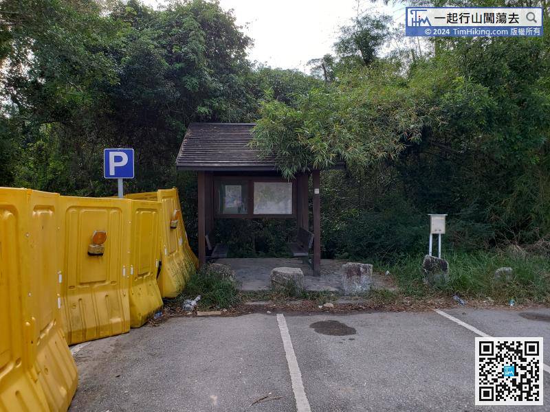
If taking a taxi, can get off at the Wu Kau Tang car park and will see a big wooden bulletin board.
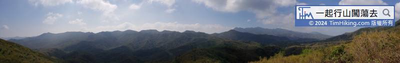
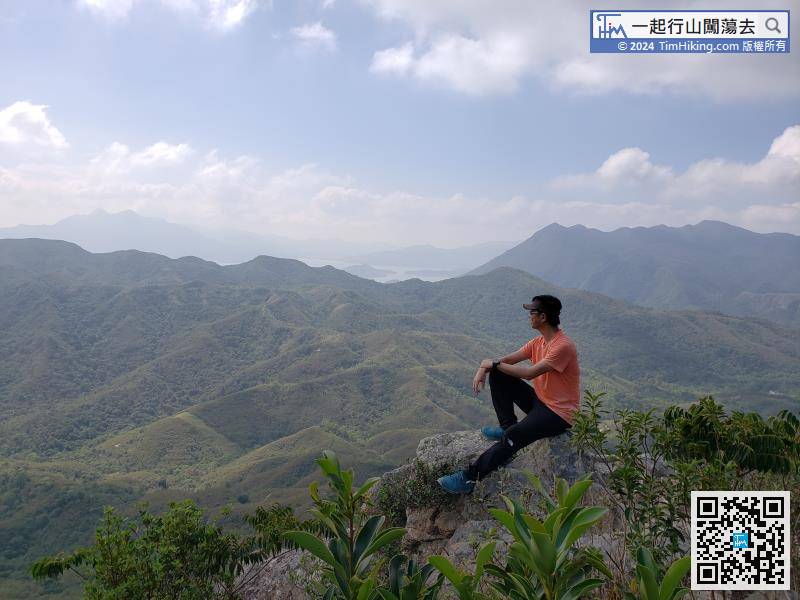
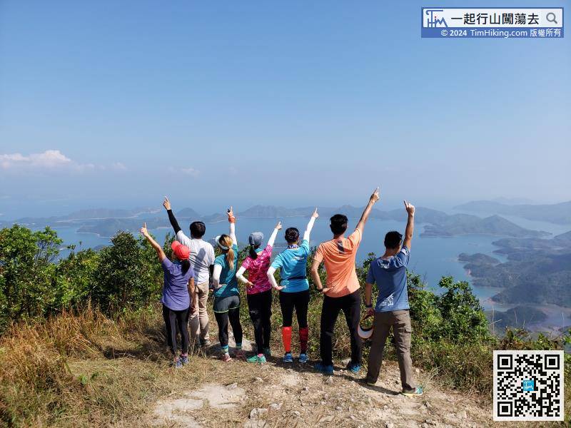
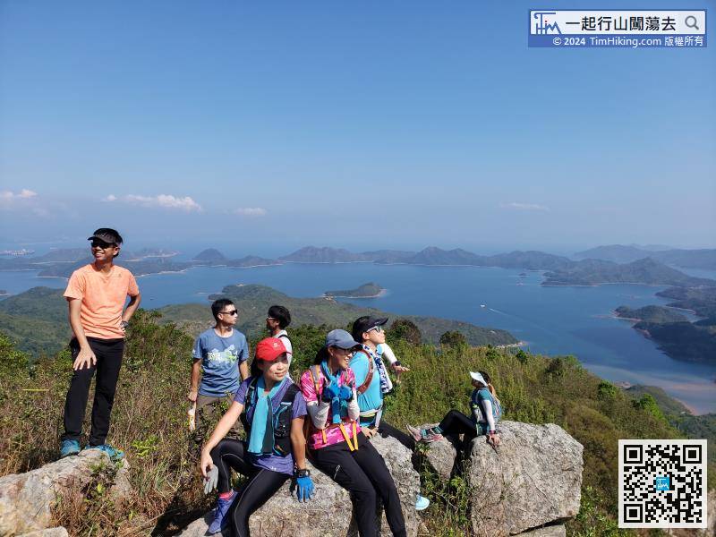
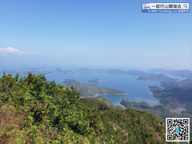
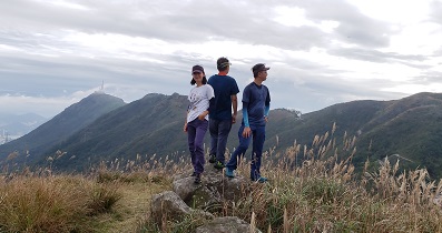
The mountains are stretched, with Ma Tau Fung, Tai Tung, and Kwun Yam Tung nearby, Pat Sin Leng a little farther away, and even Ma On Shan can be seen far away.
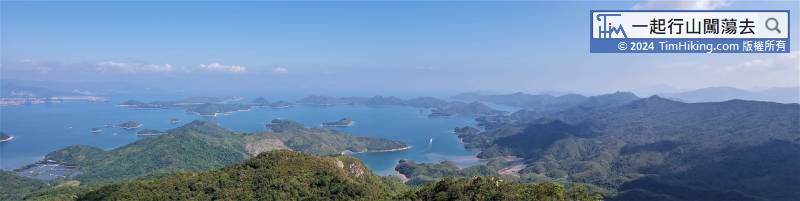
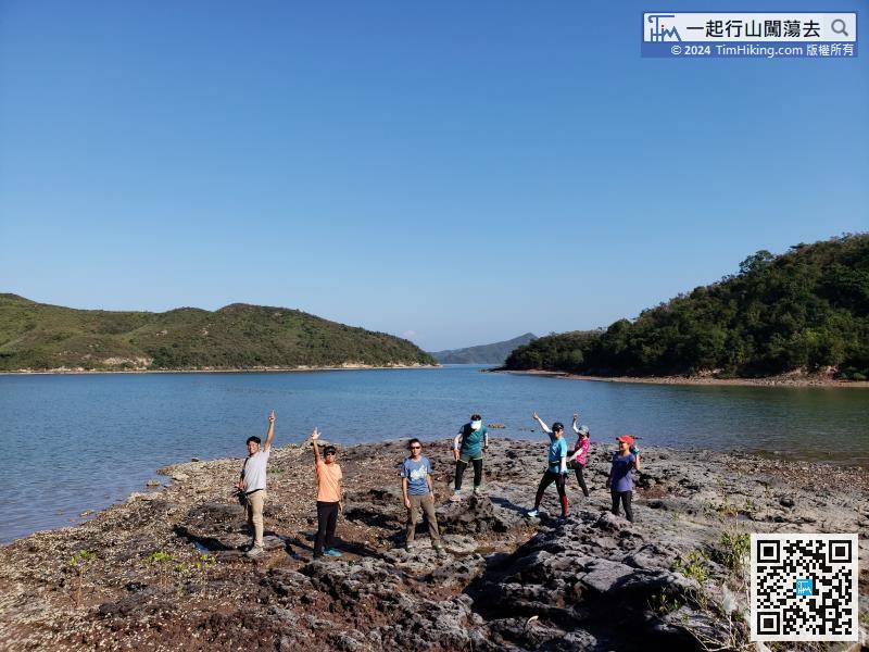
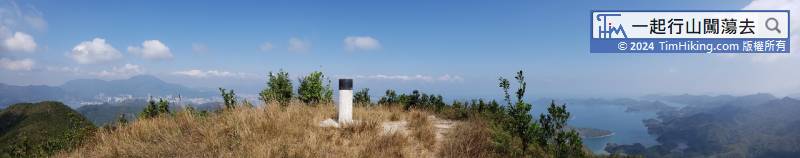
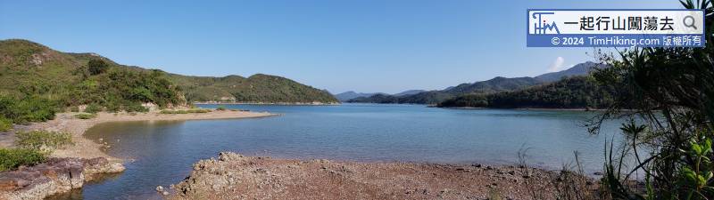
At the top of Tiu Tang Lung, can overlook the entire Double Haven. The Yantian Gang is on the far left, Kat O and Crescent Island to the right, the largest is Wan Chau, and the far right is Wong Chuk Kok Tsui.
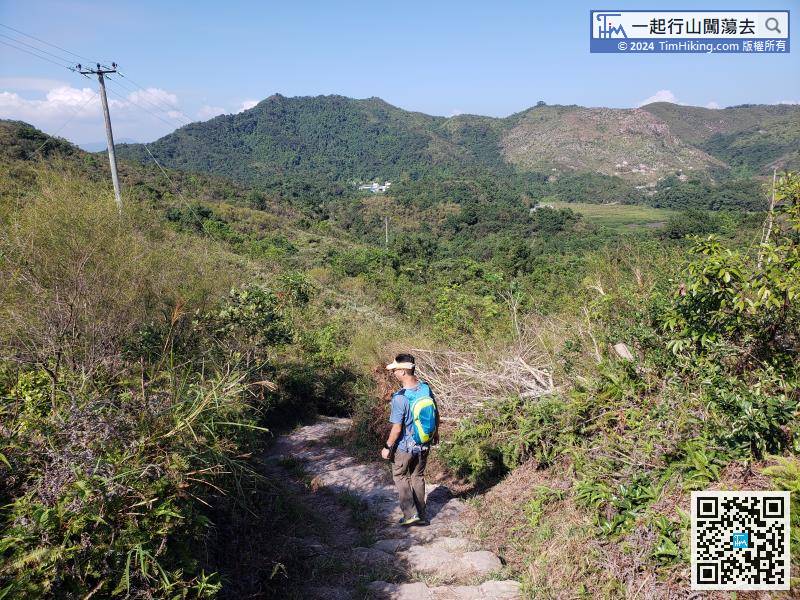
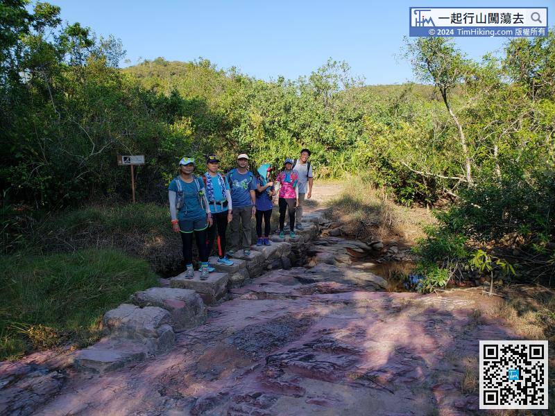
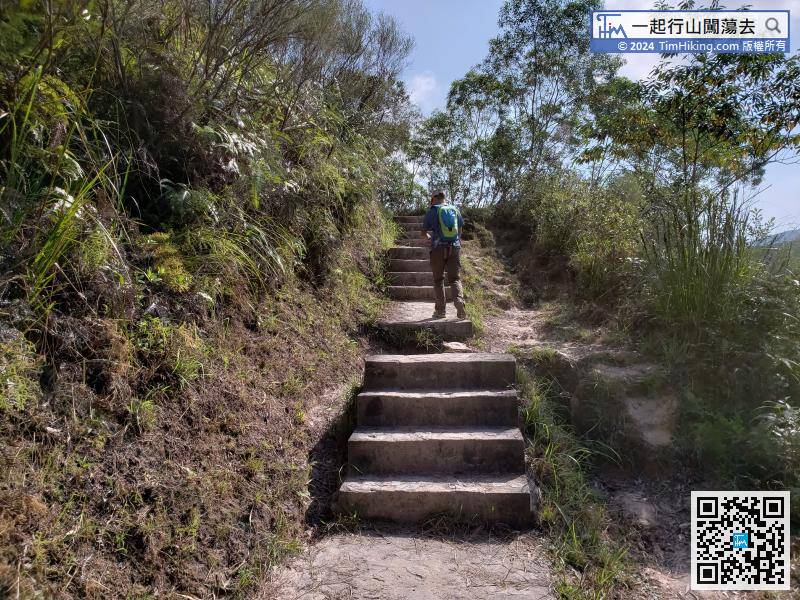
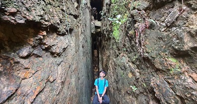
The journey to Sam A Tsuen is less than 1km. The front section is mainly steps,


