


 Recommend YouTube


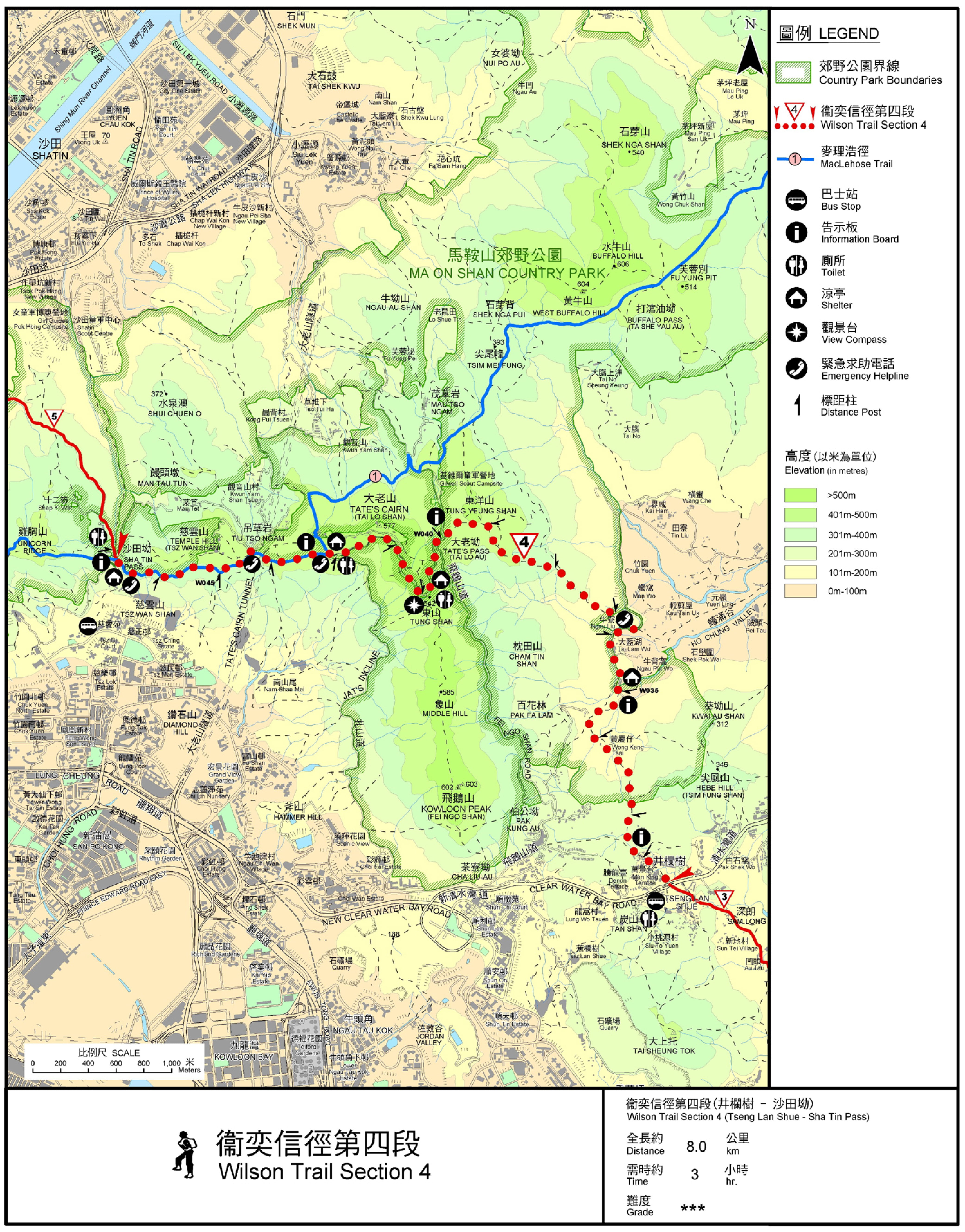
| View : |  | ||
| Difficulty : |  | ||
| Path : | |||
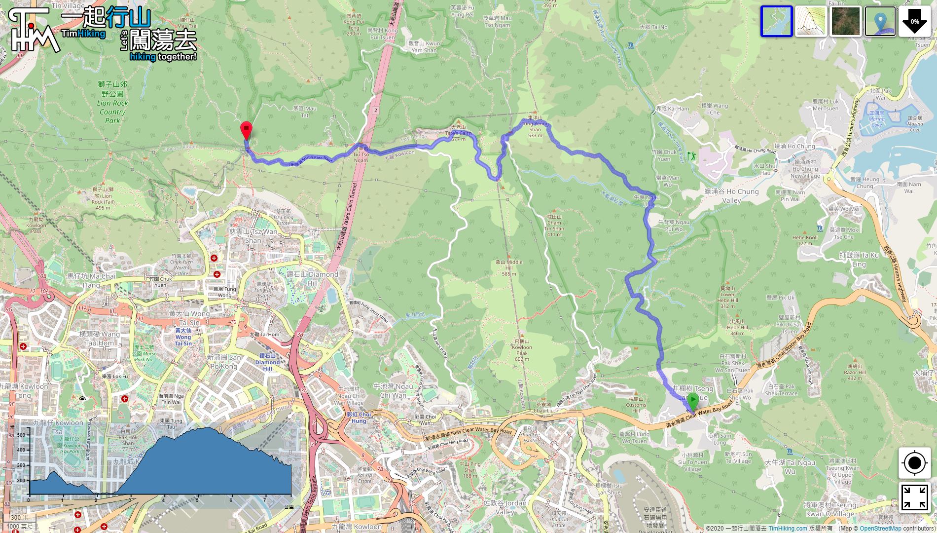
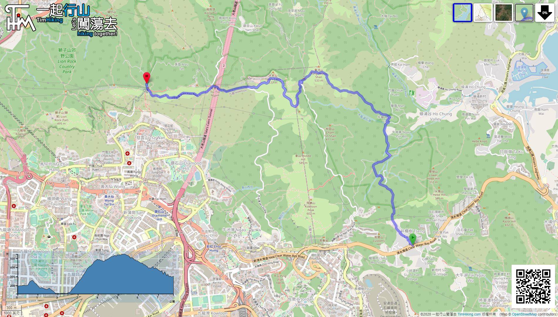
| Length : | 7.8km | ||
| Time : | 3hours | ||
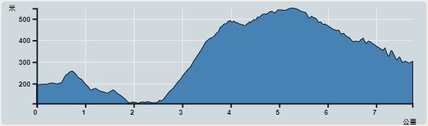 | |
| Ascent : 737m | Descent : 630m |
| Max : 548m | Min : 108m |
| (The accuracy of elevation is +/-30m) | |


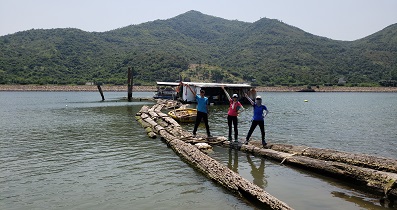
 19︰After passing through Tai Lam Wu Village, walk for another 5 minutes to cross the catchwater,
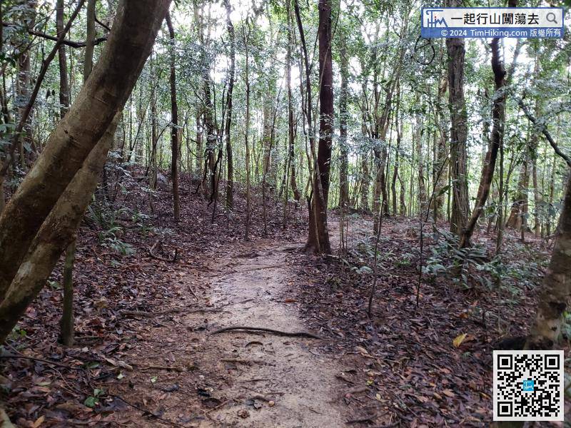
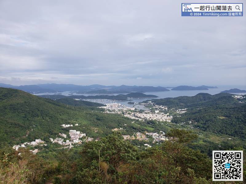
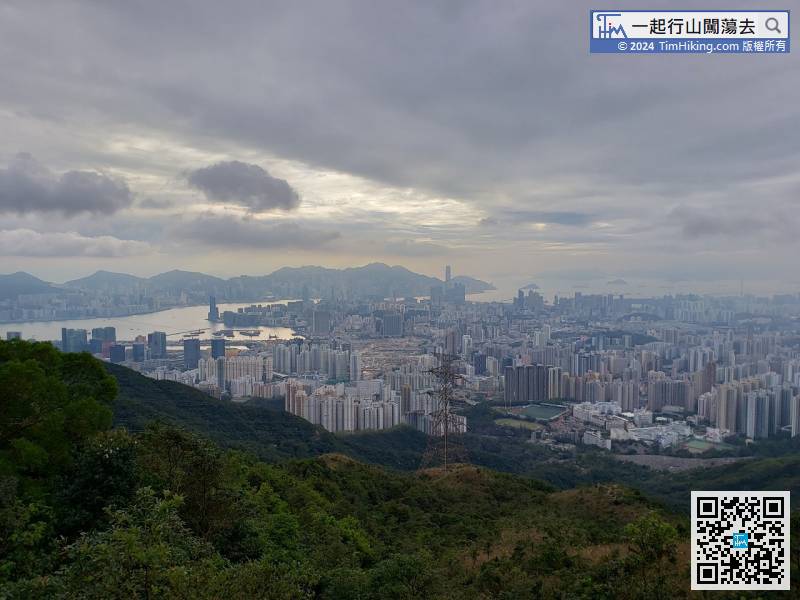
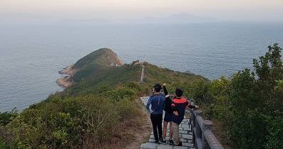
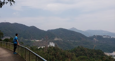
Walking between the mountains and forests, there are plenty of trees, even in the hot summer.
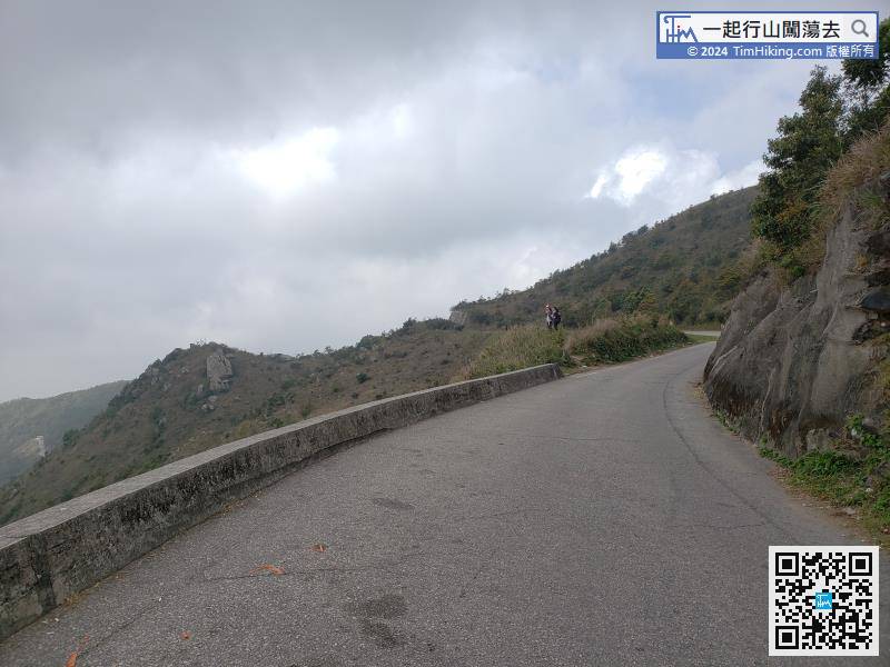
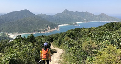
23︰At the bifurcated road, have to leave the easier concrete road,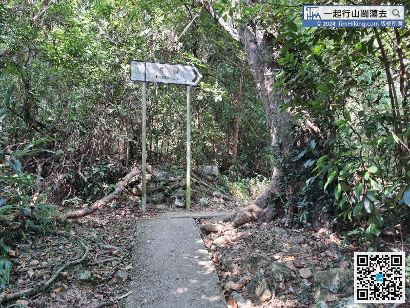 32︰keep to the right on the new road Tung Yeung Shan.
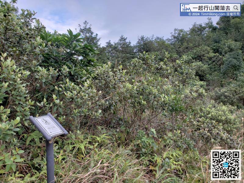
Official Map


