


 Recommend YouTube


| View : |  | ||
| Difficulty : |  | ||
| Path : | |||
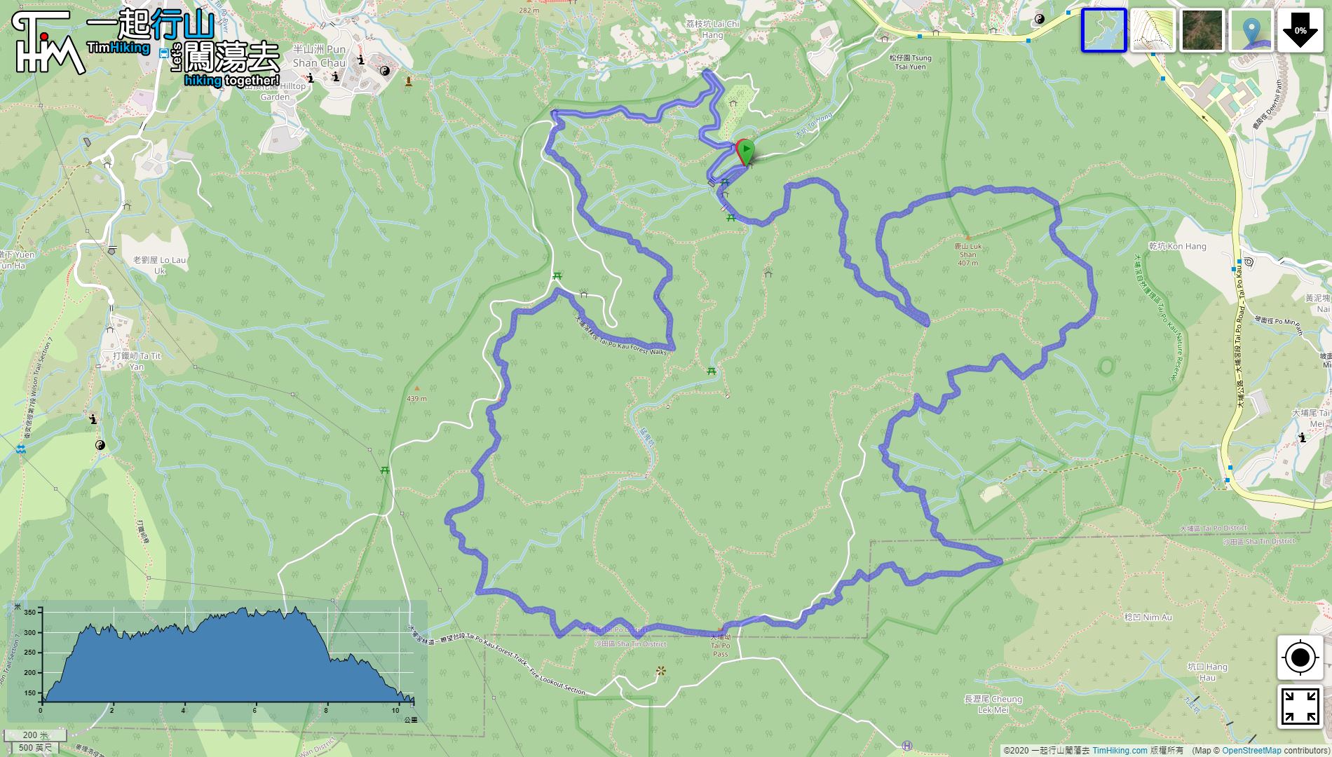
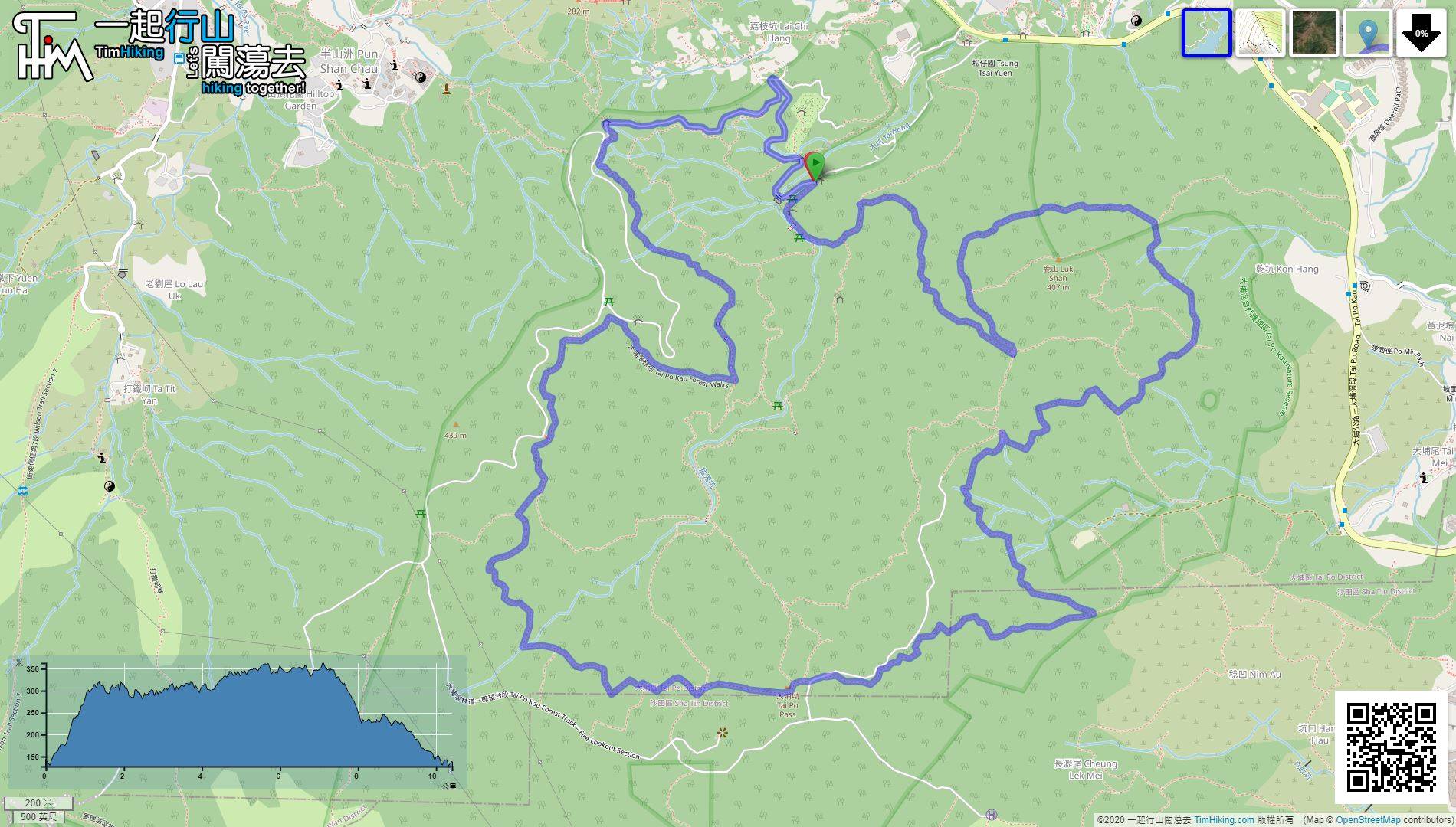
| Length : | 10.4km | ||
| Estimate : | 2½hours | ||
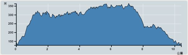 | |
| Ascent : 354m | Descent : 362m |
| Max : 363m | Min : 127m |
| (The accuracy of elevation is +/-30m) | |


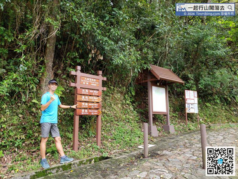
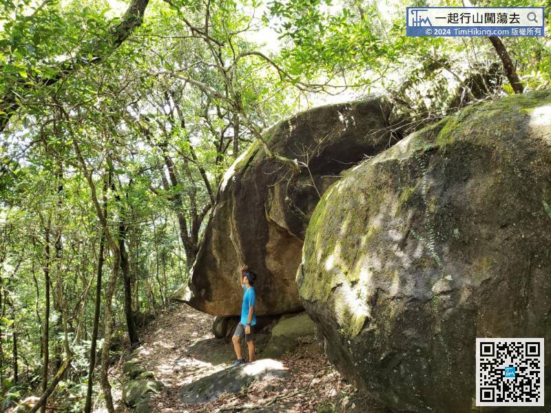
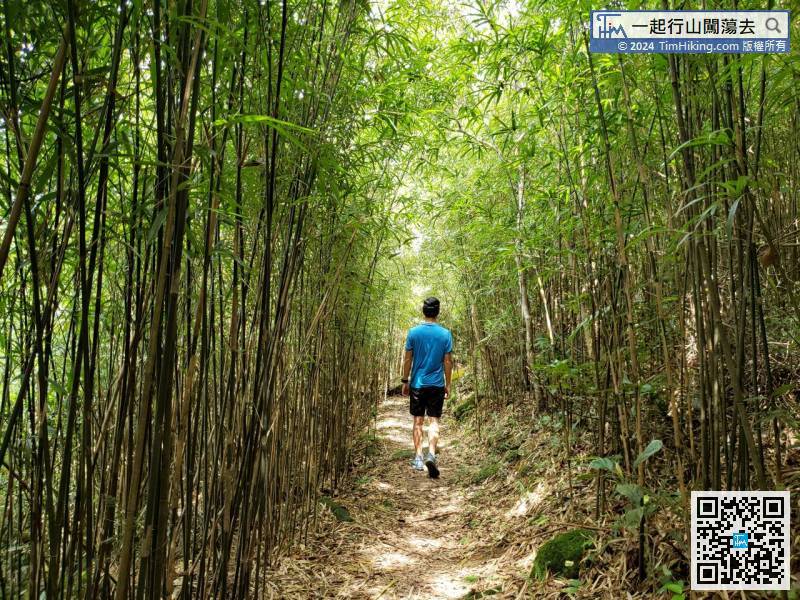
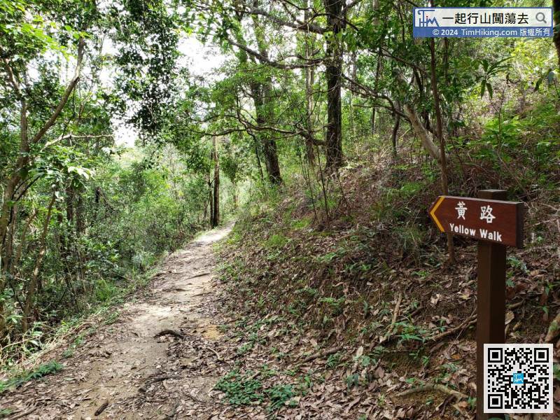
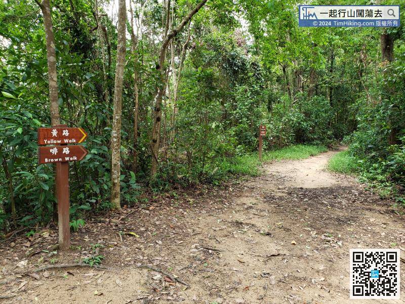
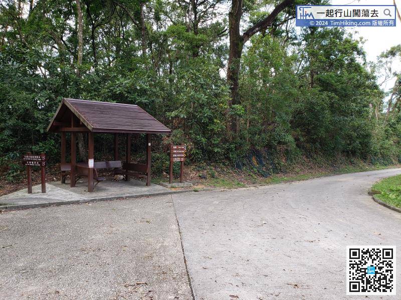
This time go on Yellow Walk, which is the longest section of Tai Po Kau Forest Walk.

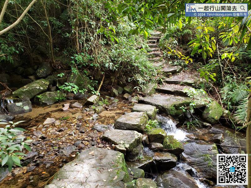
In the middle and later sections, need to cross a stream, can get a wet towel to cool off.


