


 Recommend YouTube


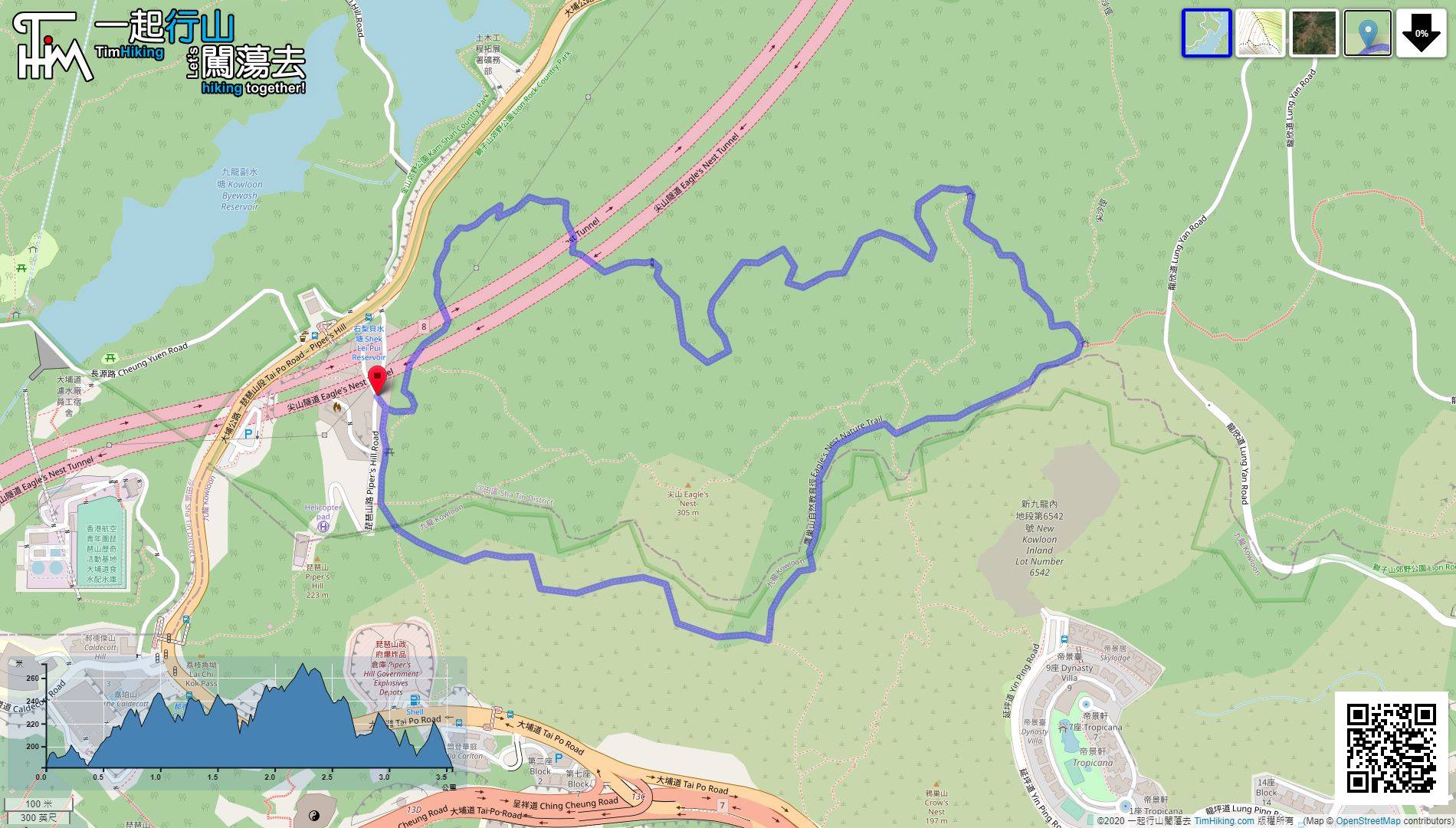
| View : |  | ||
| Difficulty : |  | ||
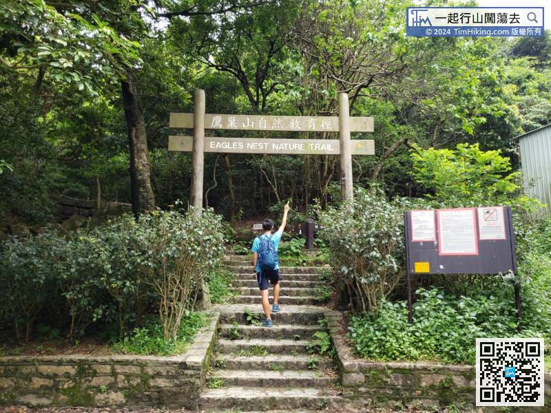
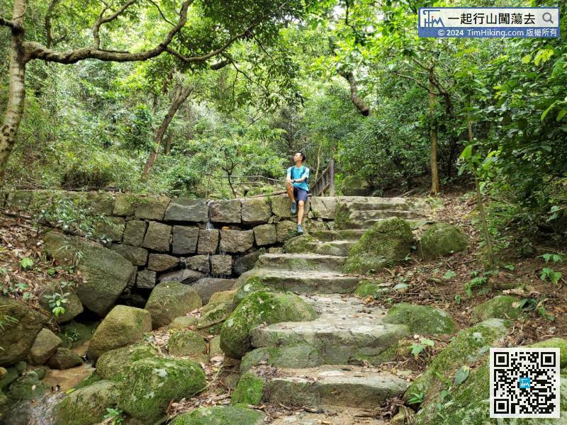
| Path : | |||
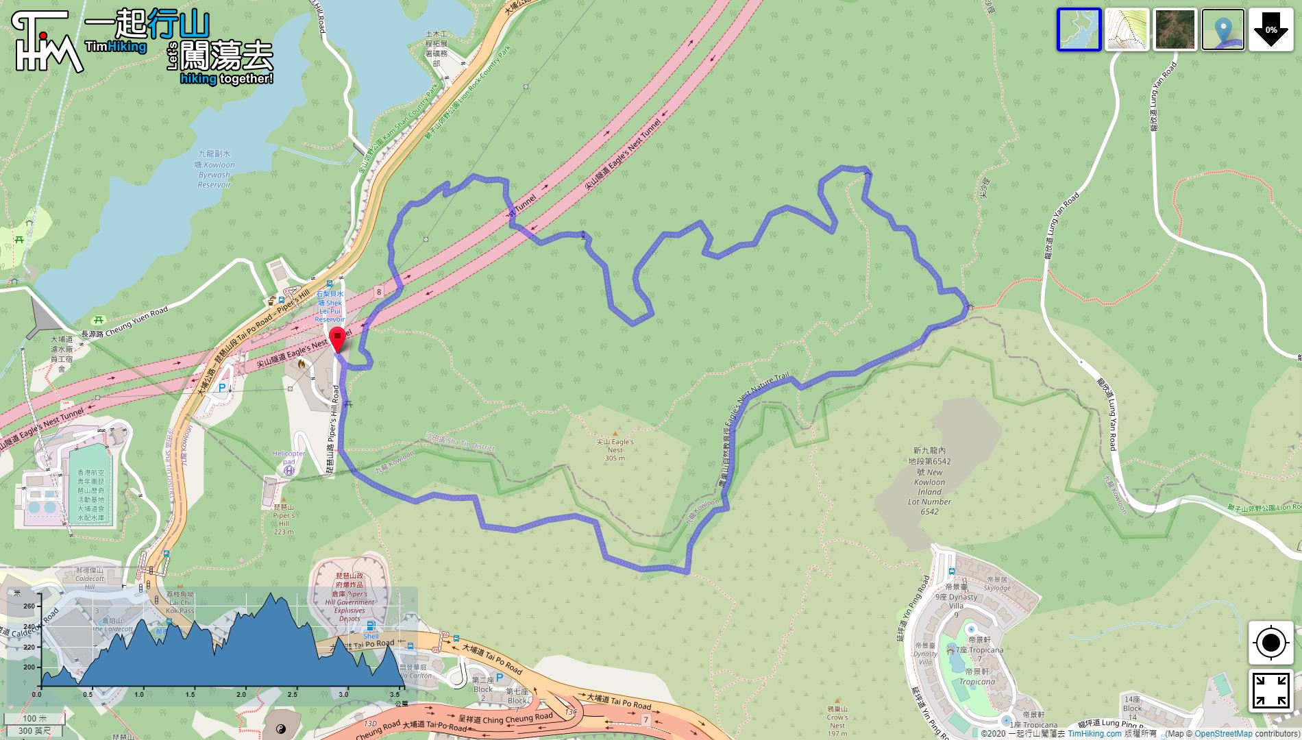
| Length : | 3.6km | ||
| Time : | 1½hours | ||
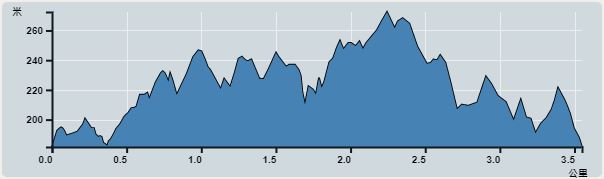 | |
| Ascent : 334m | Descent : 332m |
| Max : 272m | Min : 182m |
| (The accuracy of elevation is +/-30m) | |


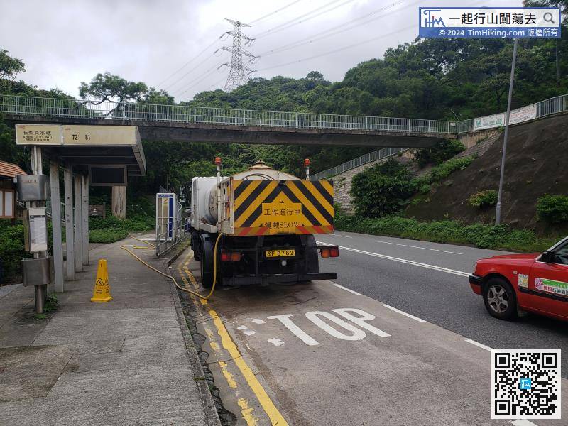
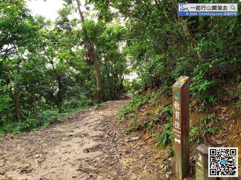
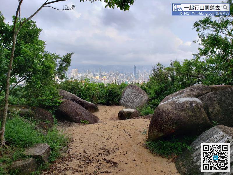
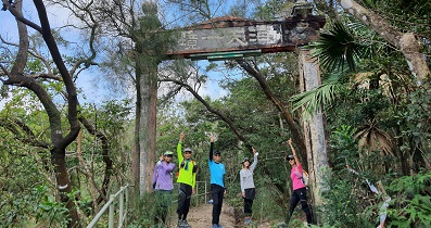
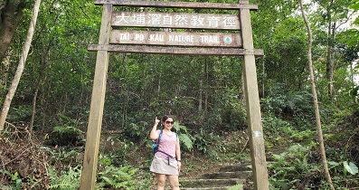
Starting at Piper's Hill Road, take bus 72/81 to Shek Lei Pui Reservoir and get off at Shek Lei Pui Reservoir,


