


 Recommend YouTube


| View : |  | ||
| Difficulty : |  | ||
| Path : | |||
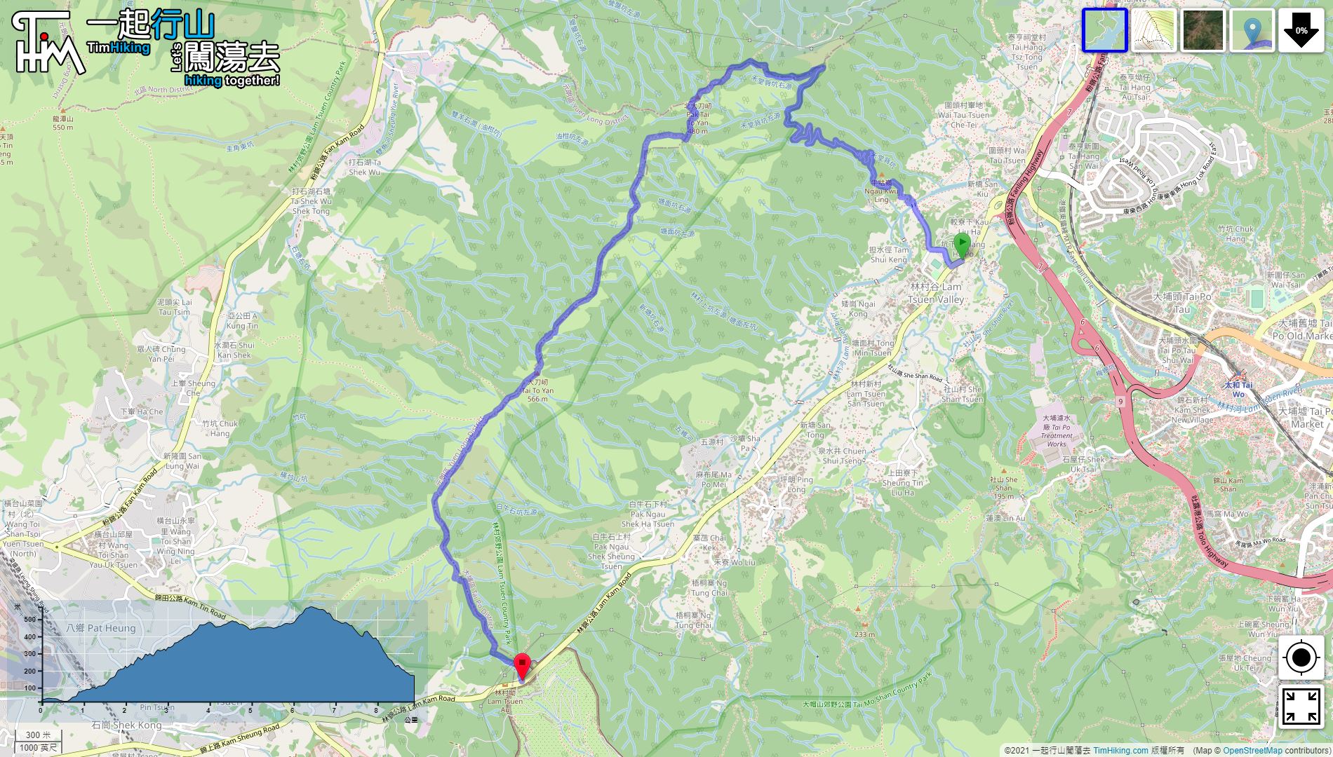
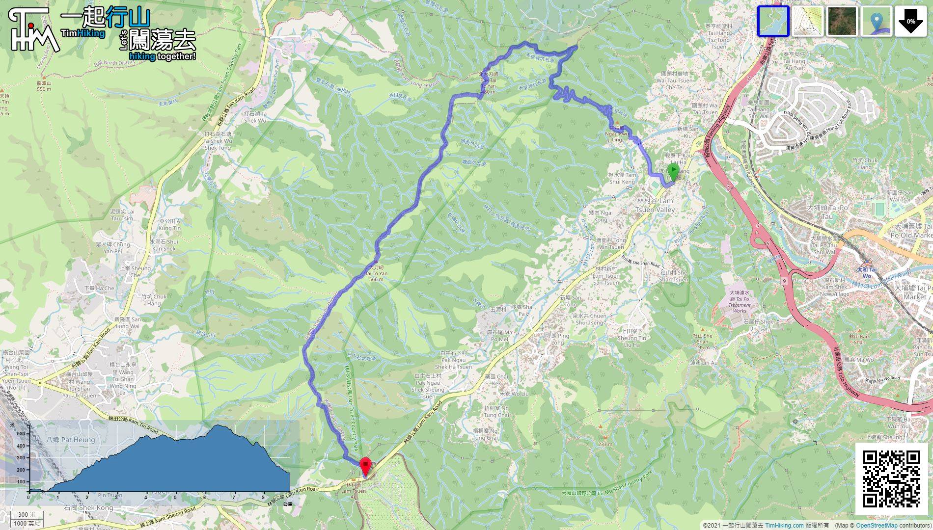
| Length : | 8.9km | ||
| Time : | 4hours | ||
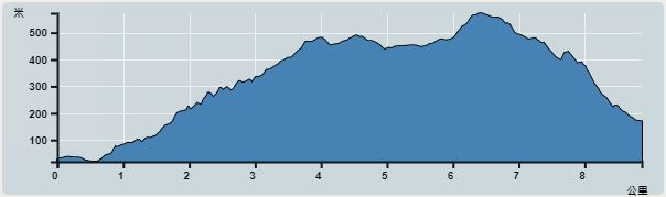 | |
| Ascent : 799m | Descent : 647m |
| Max : 546m | Min : 19m |
| (The accuracy of elevation is +/-30m) | |


 6︰and turn right.
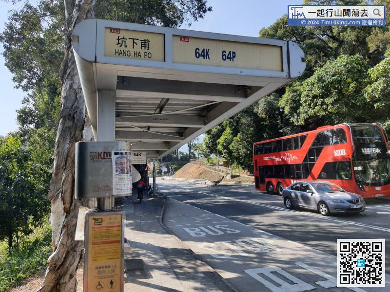
The starting point is near Lam Tsuen's Wishing Tree. You can take 64K at Tai Po Market or Tai Wo Station and get off at Hang Ha bus stop.
15︰and walk through the car gate.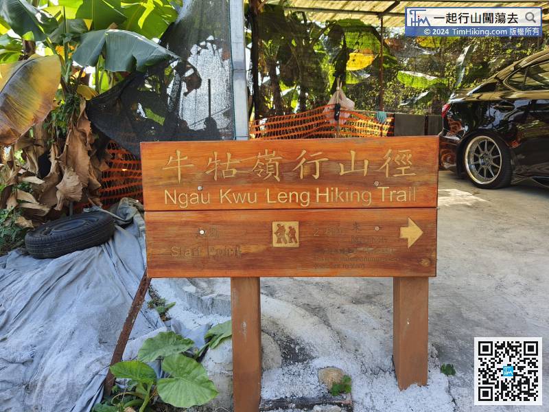
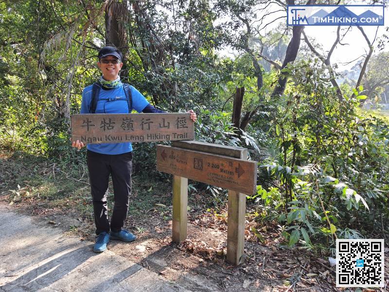
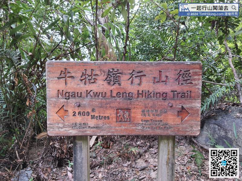
Ngau Kwu Ling Hiking Trail has a lot of big wooden signs, the distance is 2600 meters.
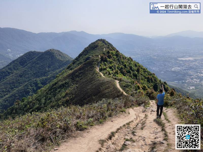
27︰overlooking Lam Tsuen, may take a short break.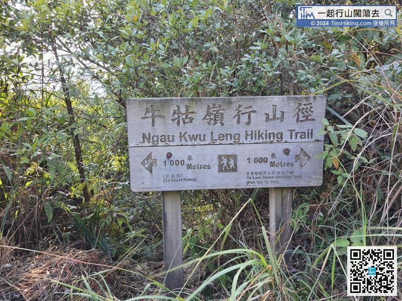
The wooden sign clearly shows the rest of the Ngau Kwu Ling Hiking trail.
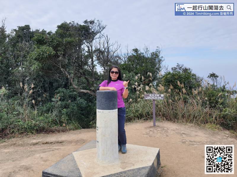
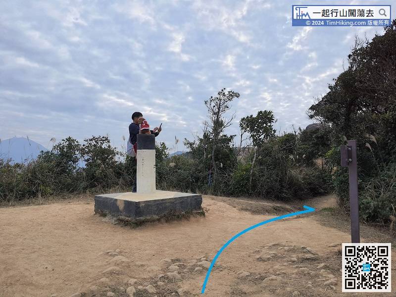
 52︰go straight to Pak Tai To Yan.
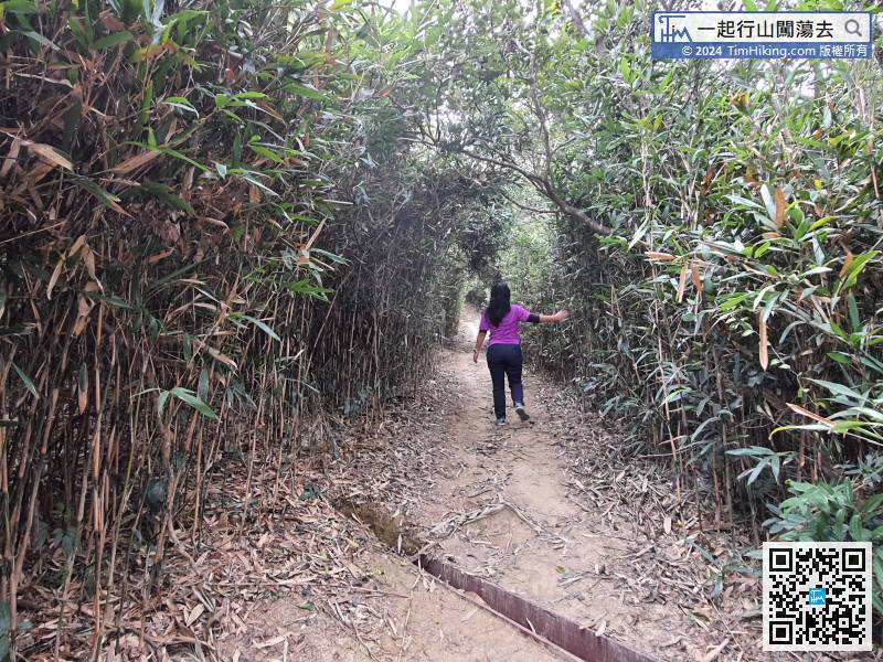
 71︰is a cross-moving trail with tree-lined trees,
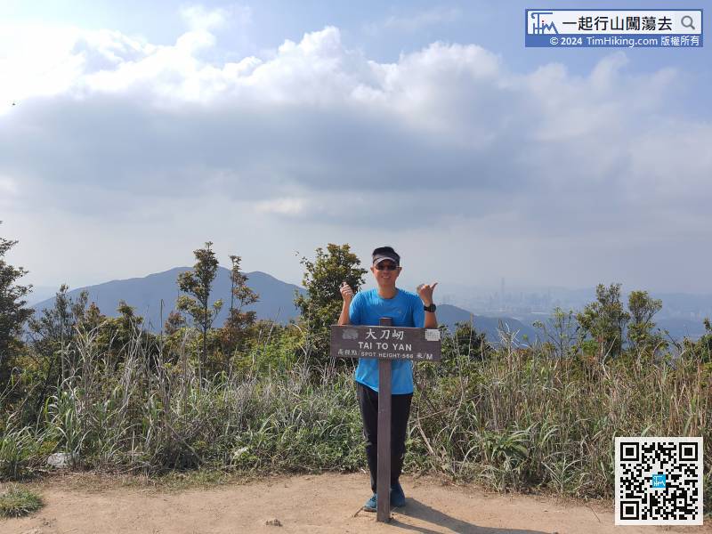
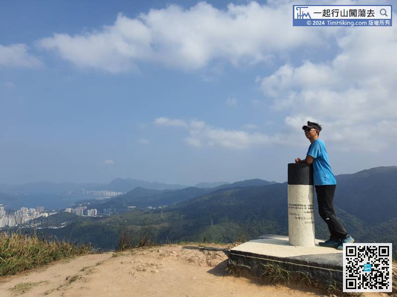
Tai To Yan is 86 meters taller than Pak Tai To Yan, not much higher,
79︰In Tai To Yan, the view is more expansive than Pak Tai To Yan, maybe it is a little bit taller.
In Tai To Yan, the view is more expansive than Pak Tai To Yan, maybe it is a little bit taller.
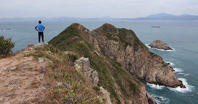
88︰The Golden Silver Bridge is mainly divided into two sections, also known as the Gold Silver Two Bridge.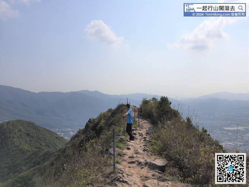
The Golden Silver Bridge is mainly divided into two sections, also known as the Gold Silver Two Bridge.
103︰Over the past three years, the road signs on this section of the trail have changed a lot, not only the road signs have been updated, even the Pak Ngau Chek Trail has been eliminated.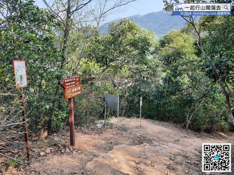


