


 Recommend YouTube


| View : |  | ||
| Difficulty : |  | ||
| Path : | |||
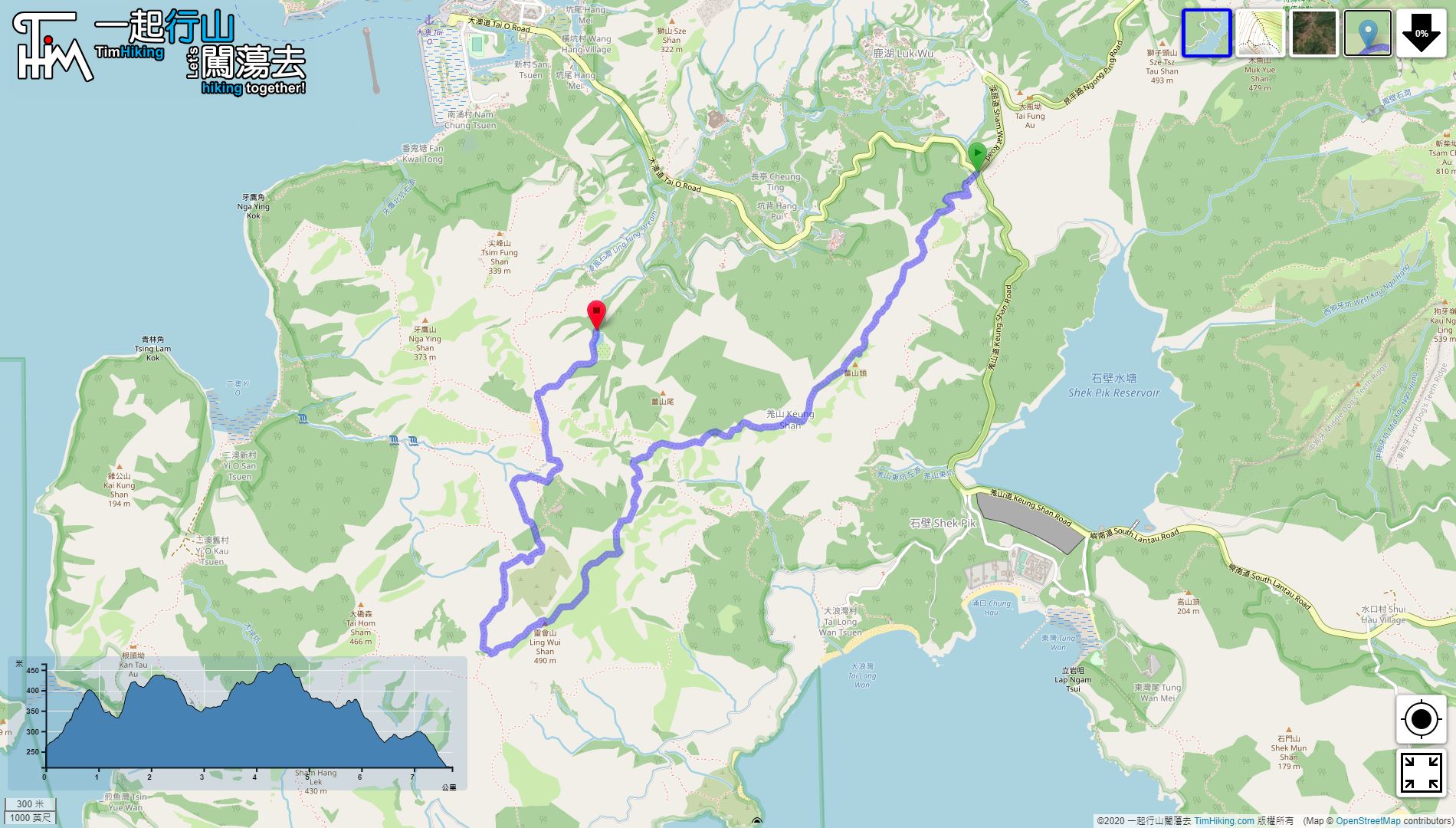
| Length : | 7.8km | ||
| Estimate : | 2¾hours | ||
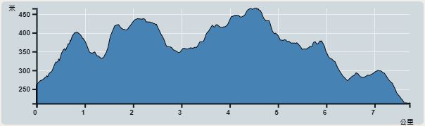 | |
| Ascent : 376m | Descent : 425m |
| Max : 465m | Min : 212m |
| (The accuracy of elevation is +/-30m) | |


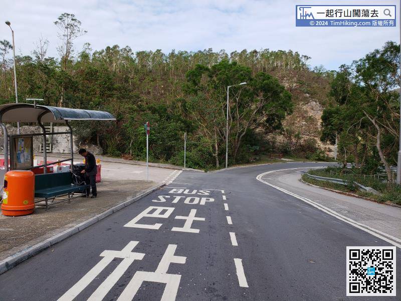
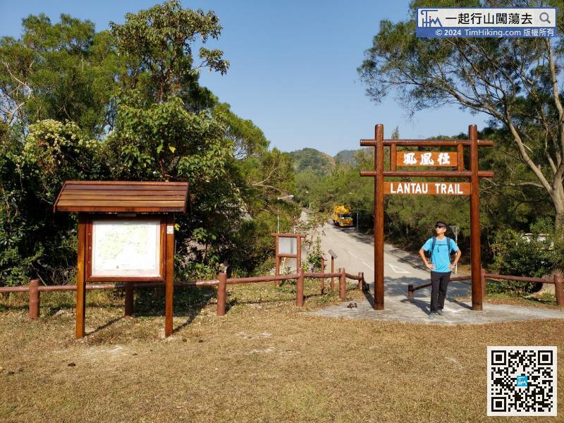
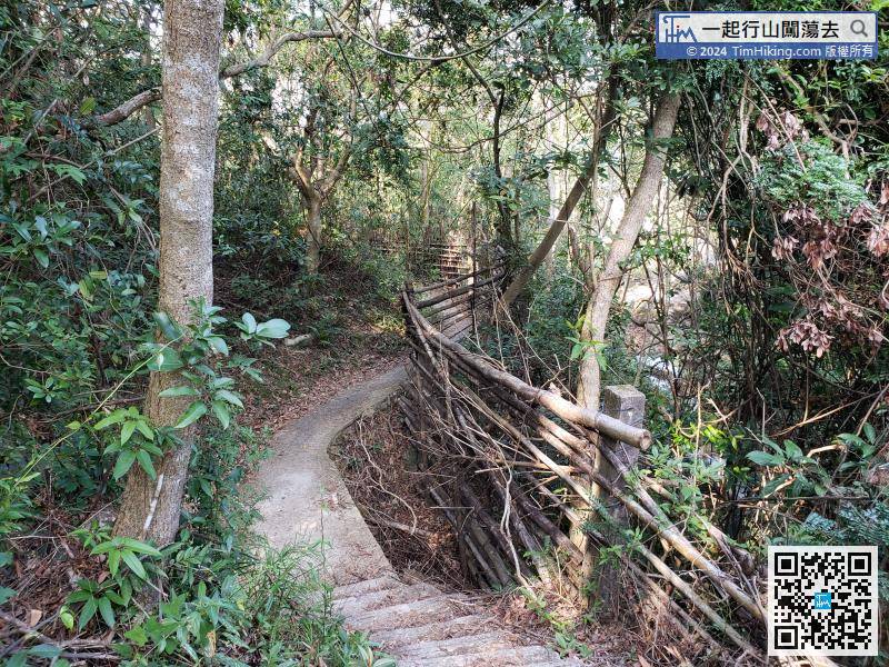
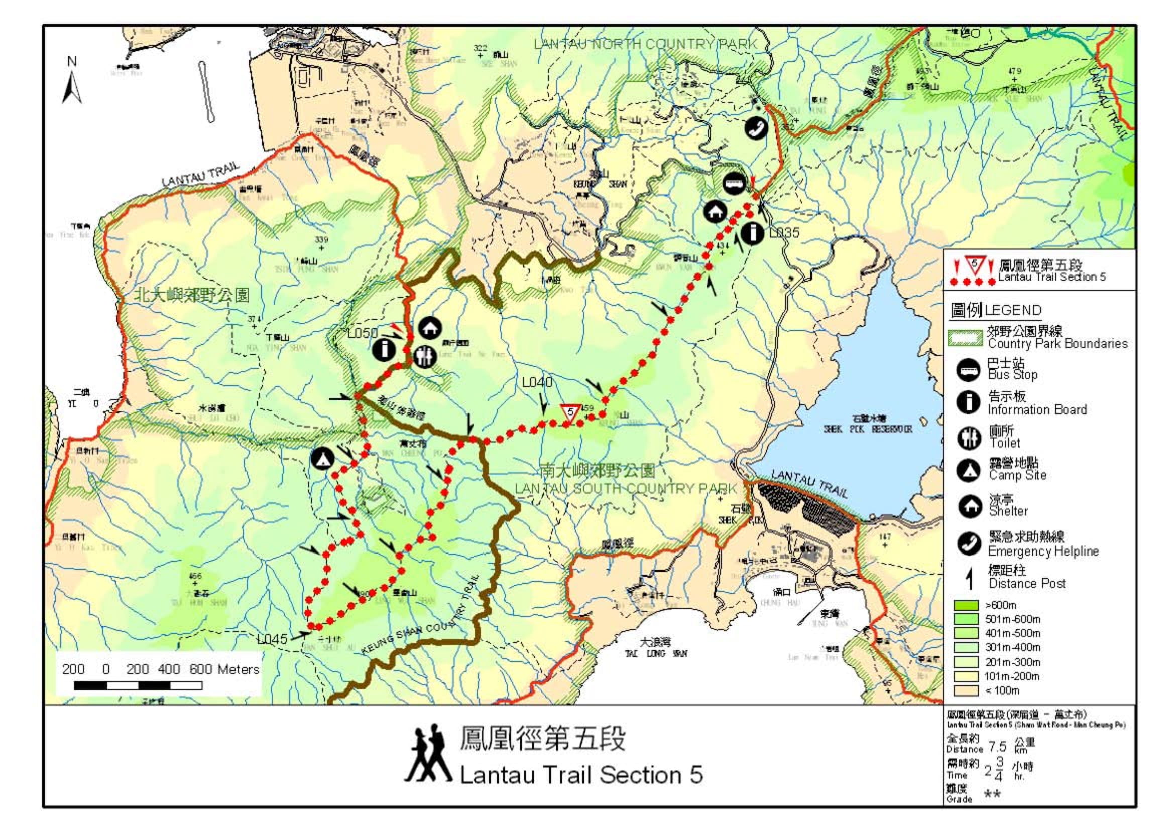
The starting point is near Sham Wat Road. You can take Lantau Bus 11 or 23.
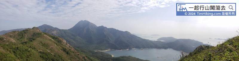
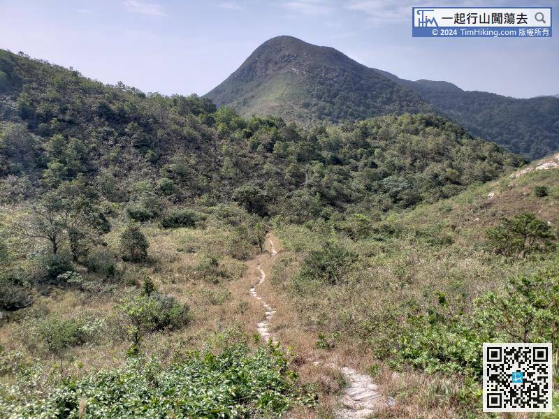
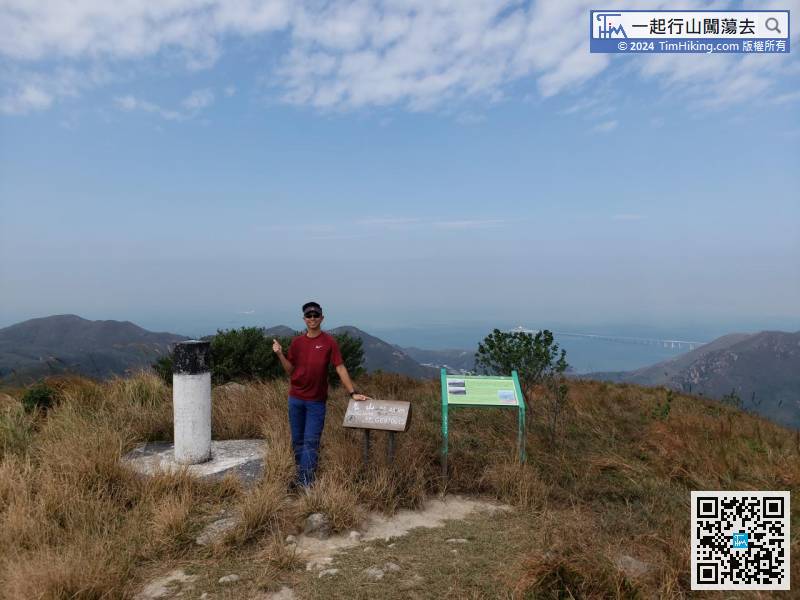
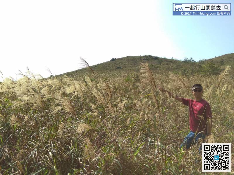
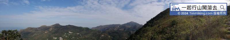
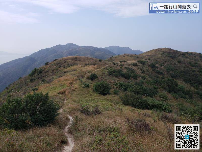
Bypassing the Kwun Yam Shan mountainside, the highest one in front is the Vice Peak of Keung Shan. The main peak of Keung Shan is behind and is covered by Vice Peak insight.
Official Map


