


 Recommend YouTube


| View : |  | ||
| Difficulty : |  | ||
| Path : | |||
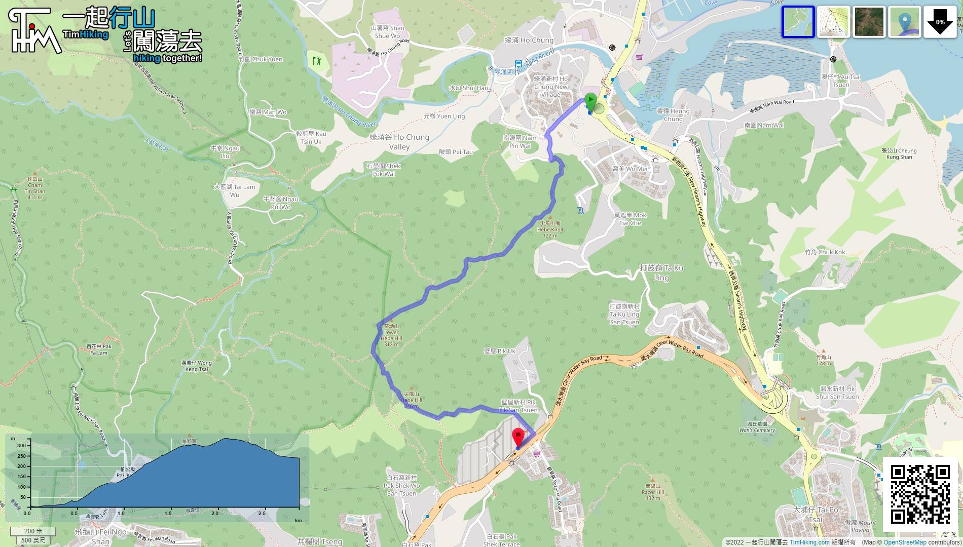
| Length : | 2.9km | ||
| Time : | 2½hours | ||
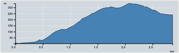 | |
| Ascent : 341m | Descent : 111m |
| Max : 333m | Min : 2m |
| (The accuracy of elevation is +/-30m) | |


 8︰at the turn,
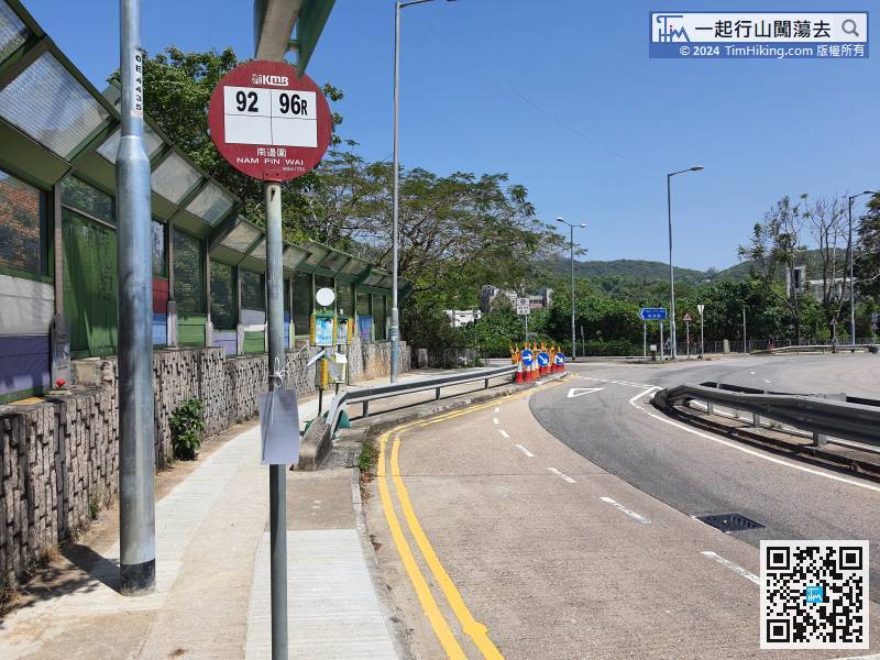
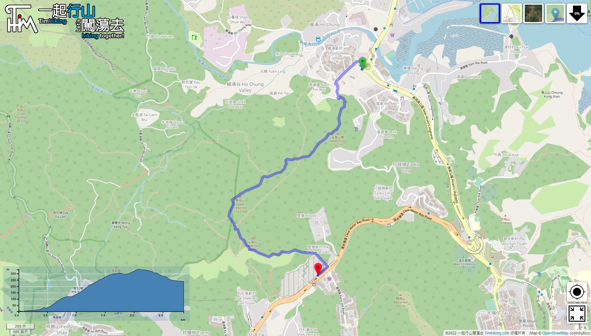
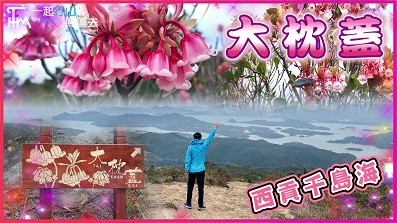
The starting point is Nam Pin Wai. Many buses and minibuses to Sai Kung will pass through here.
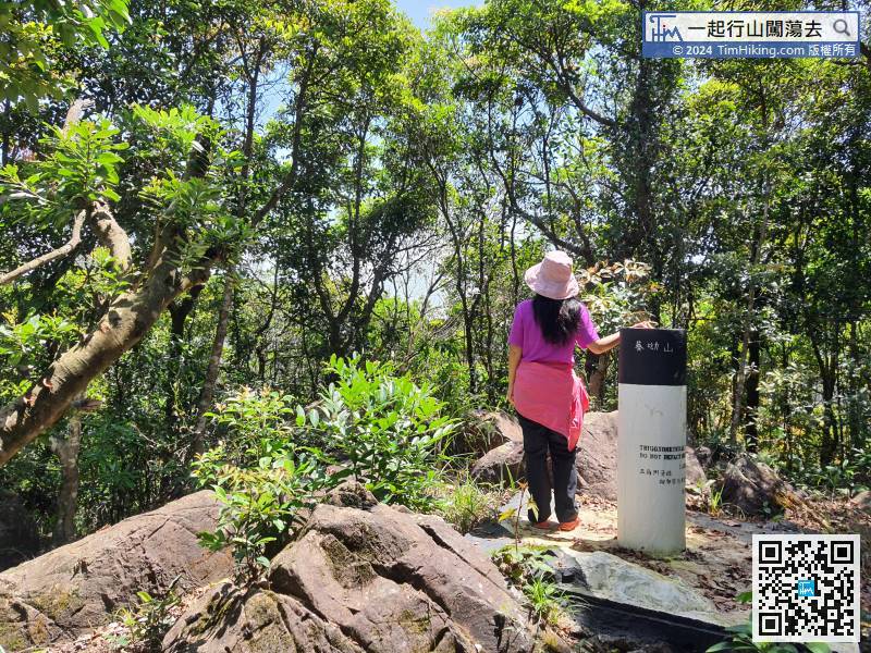
21︰The appearance of Hebe Knoll is a small hill protruding from the sea, and there is no open scenery.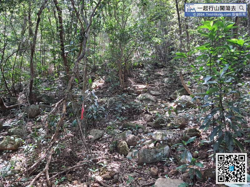
 34︰do not go straight to the barren trail, because it will go directly to Hebe Hill and skip Kwai Au Shan.
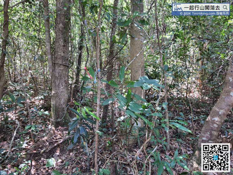
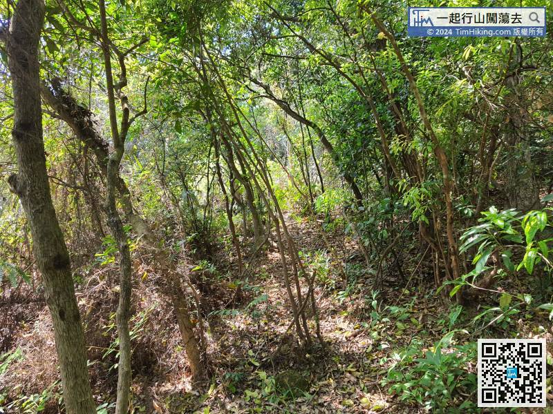
The middle section of the route from Hebe Knoll to Kwai Au Shan is about 900 meters away.
40︰When coming to the obvious fork,
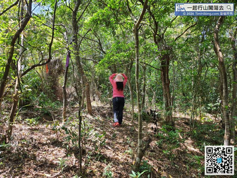
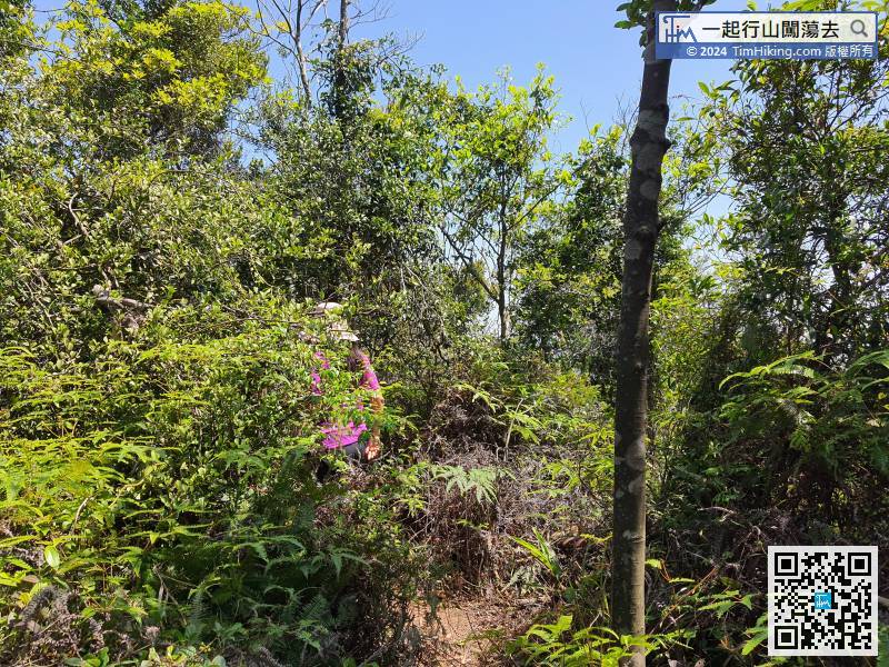
The amount of ribbon on this road is not much, but it is enough to distinguish the route.
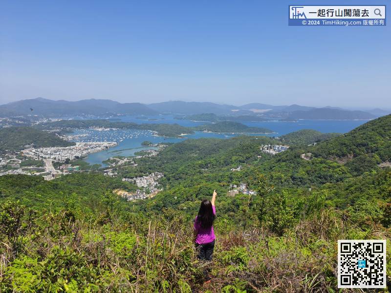
54︰On the way downhill, will encounter another fork,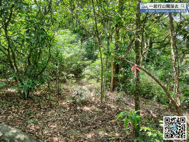 64︰The beautiful bay in front is Pak Sha Wan, which is Hebe Haven,


