


 Recommend YouTube
 Sor See Kau, Ma Tau Wan

| View : |  | ||
| Difficulty : |  | ||
| Path : | |||
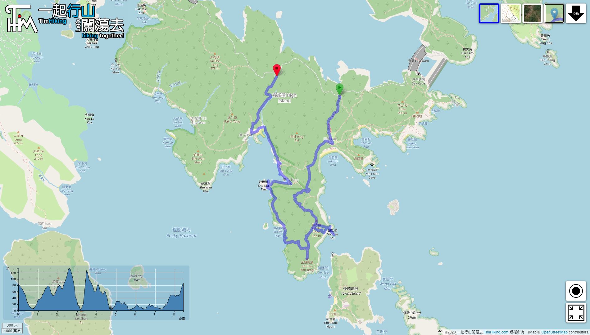
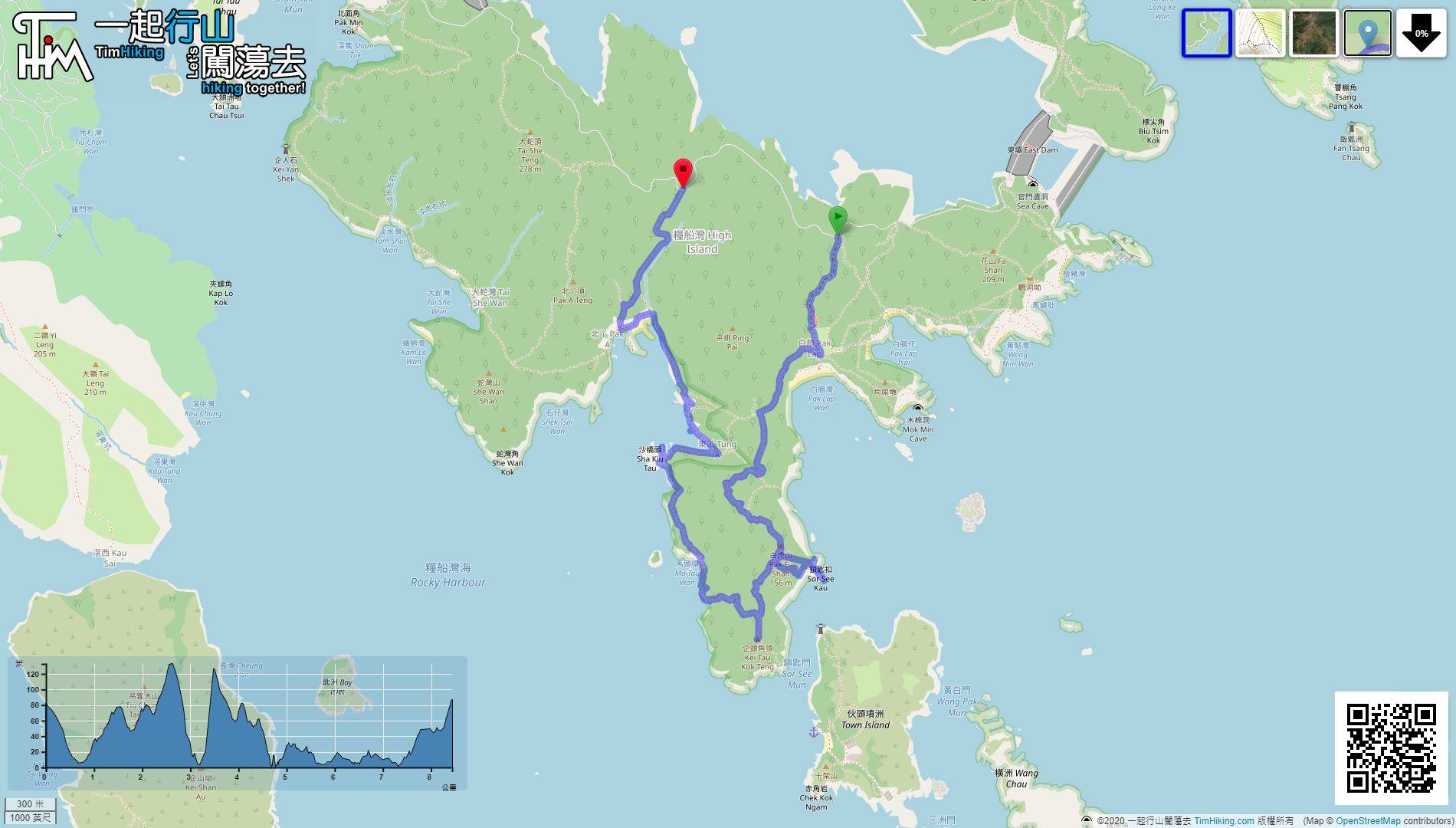
| Length : | 8.5km | ||
| Time : | 8hours | ||
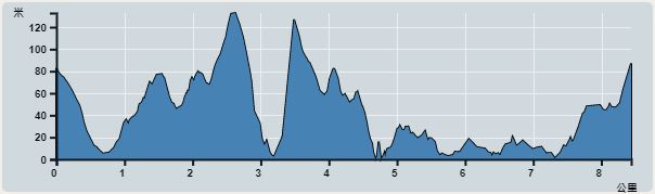 | |
| Ascent : 551m | Descent : 541m |
| Max : 133m | Min : 0m |
| (The accuracy of elevation is +/-30m) | |


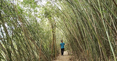
 7︰will go around the grass in the middle
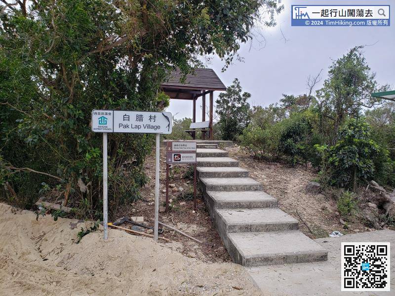
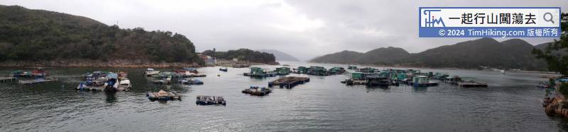
The starting point is Sai Kung Pak Lap Village. In order to save time and effort, usually take a green taxi from Sai Kung, about $120.
27︰The trail shuttle between the grass,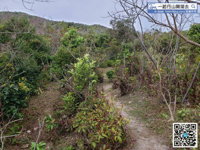
Take the shortcut back to the main path,
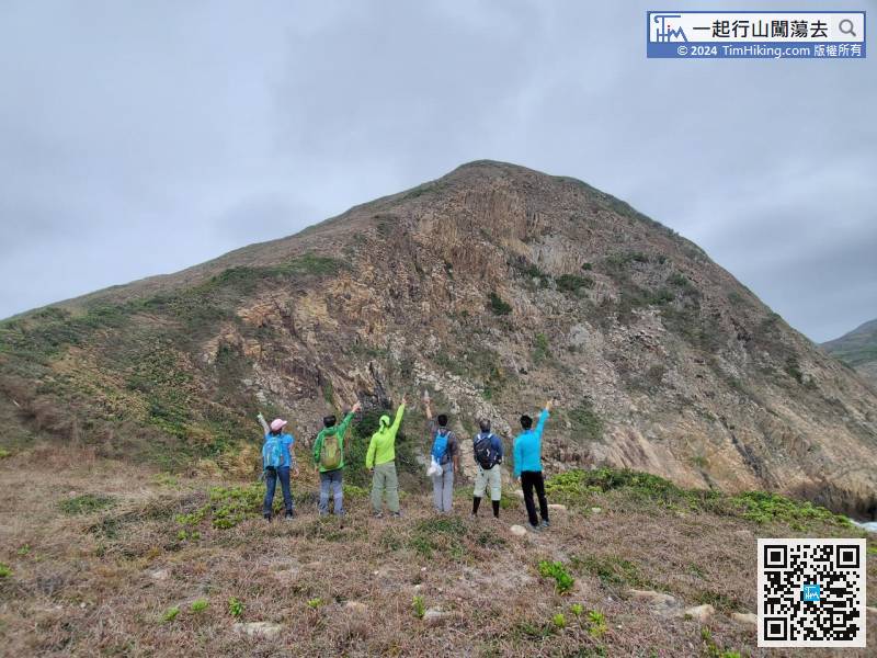
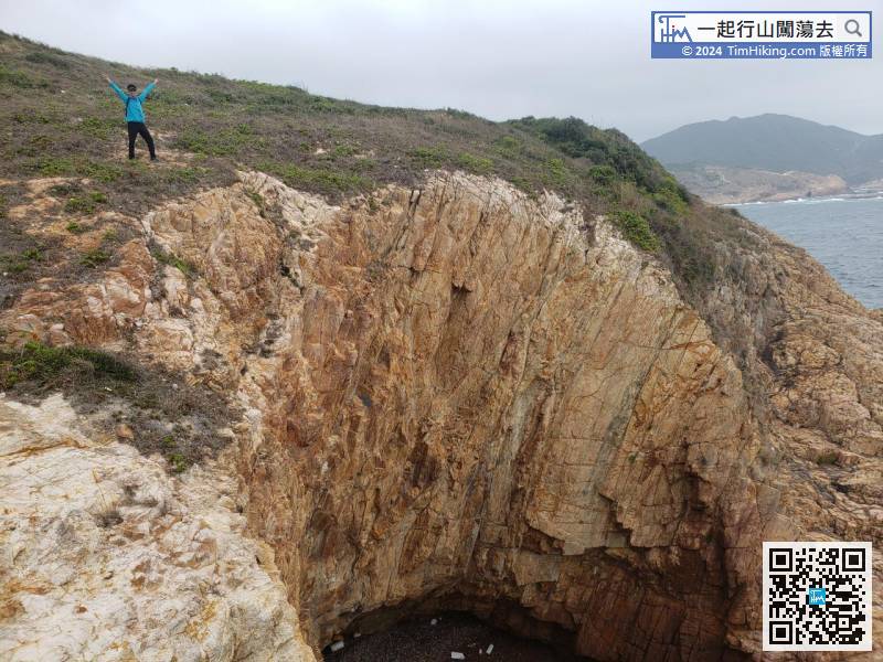
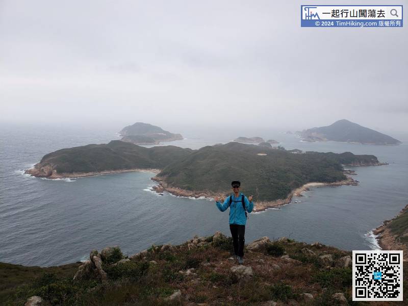
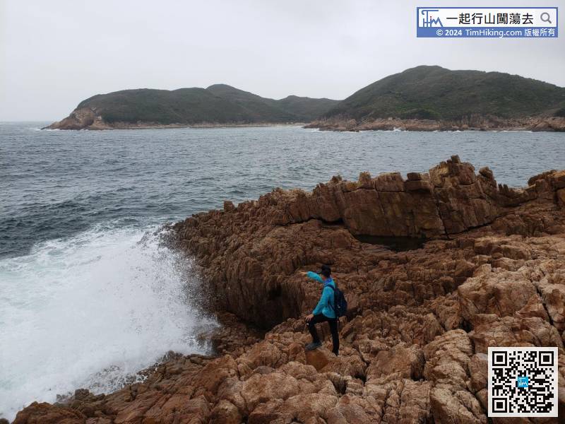
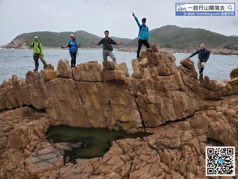
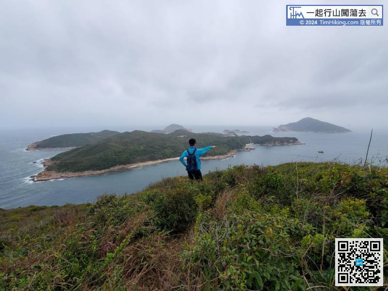
49︰which is slapped endlessly by huge waves, which is the mark of Sor See Kau.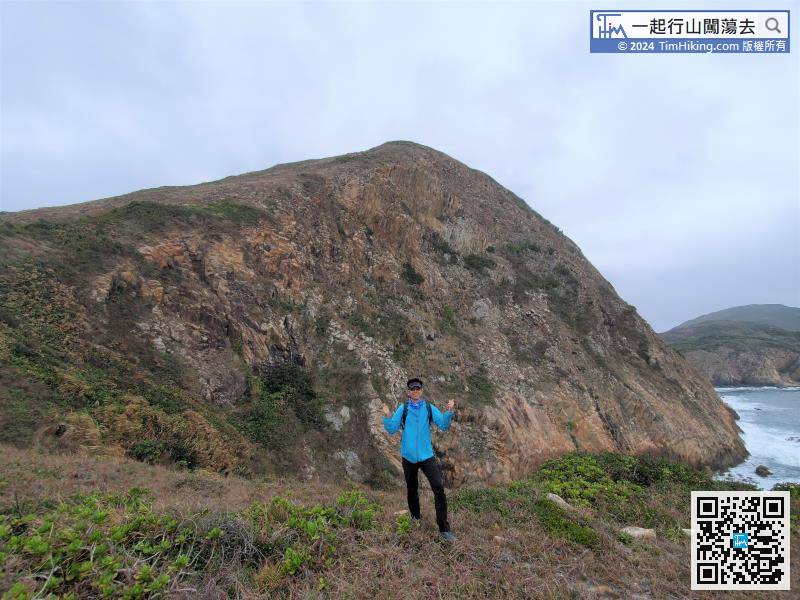
The majestic White Tiger Cliff is at the rear, which is extremely shocking!
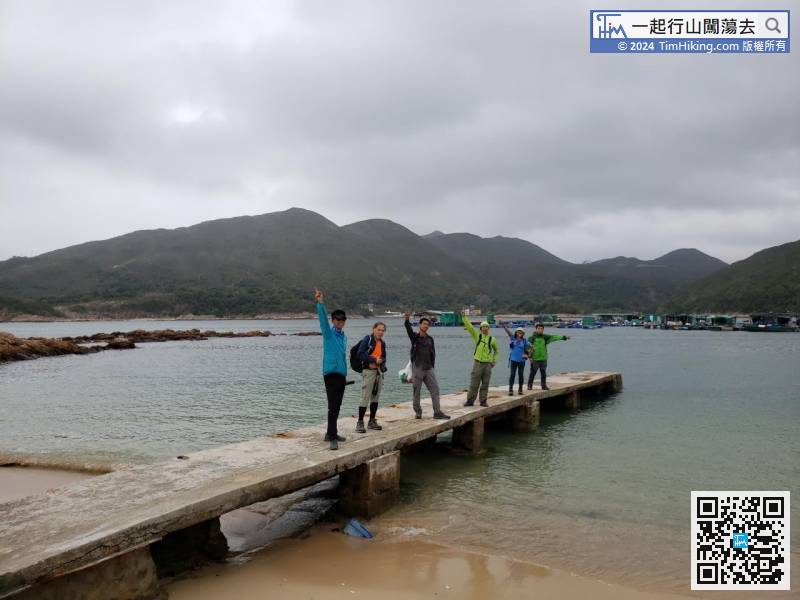
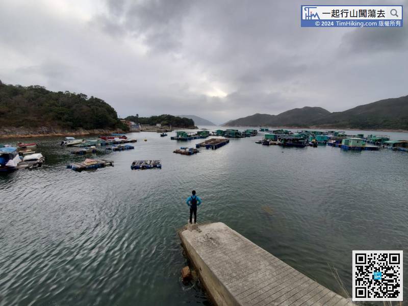
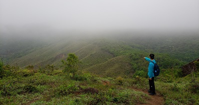
64︰Kei Tau Kok Teng is a dense grass,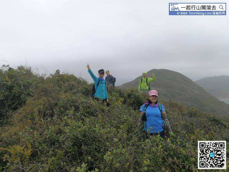 80︰Walking into Ma Tau Wan Beach, it is more comfortable, all the difficult sections have been completed, and the difficulty has changed back to 3 stars.
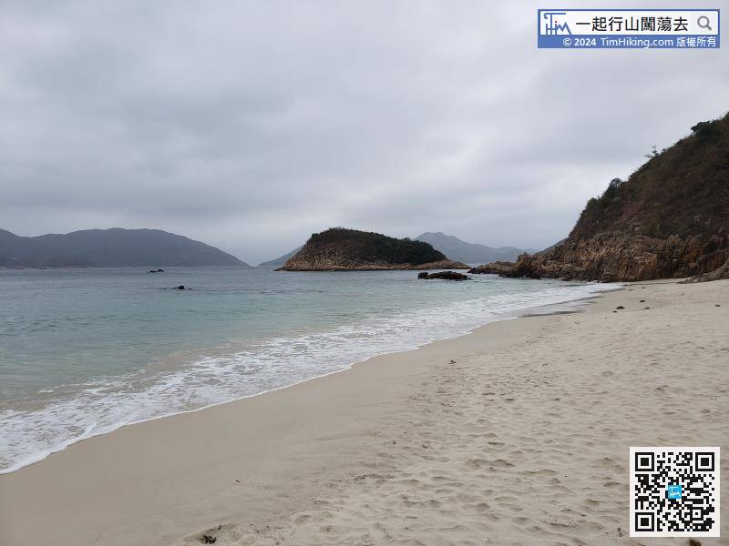
Walking into Ma Tau Wan Beach, it is more comfortable, all the difficult sections have been completed, and the difficulty has changed back to 3 stars.
The difficulty of the trail continues dropping to 2 stars,


