


 Recommend YouTube


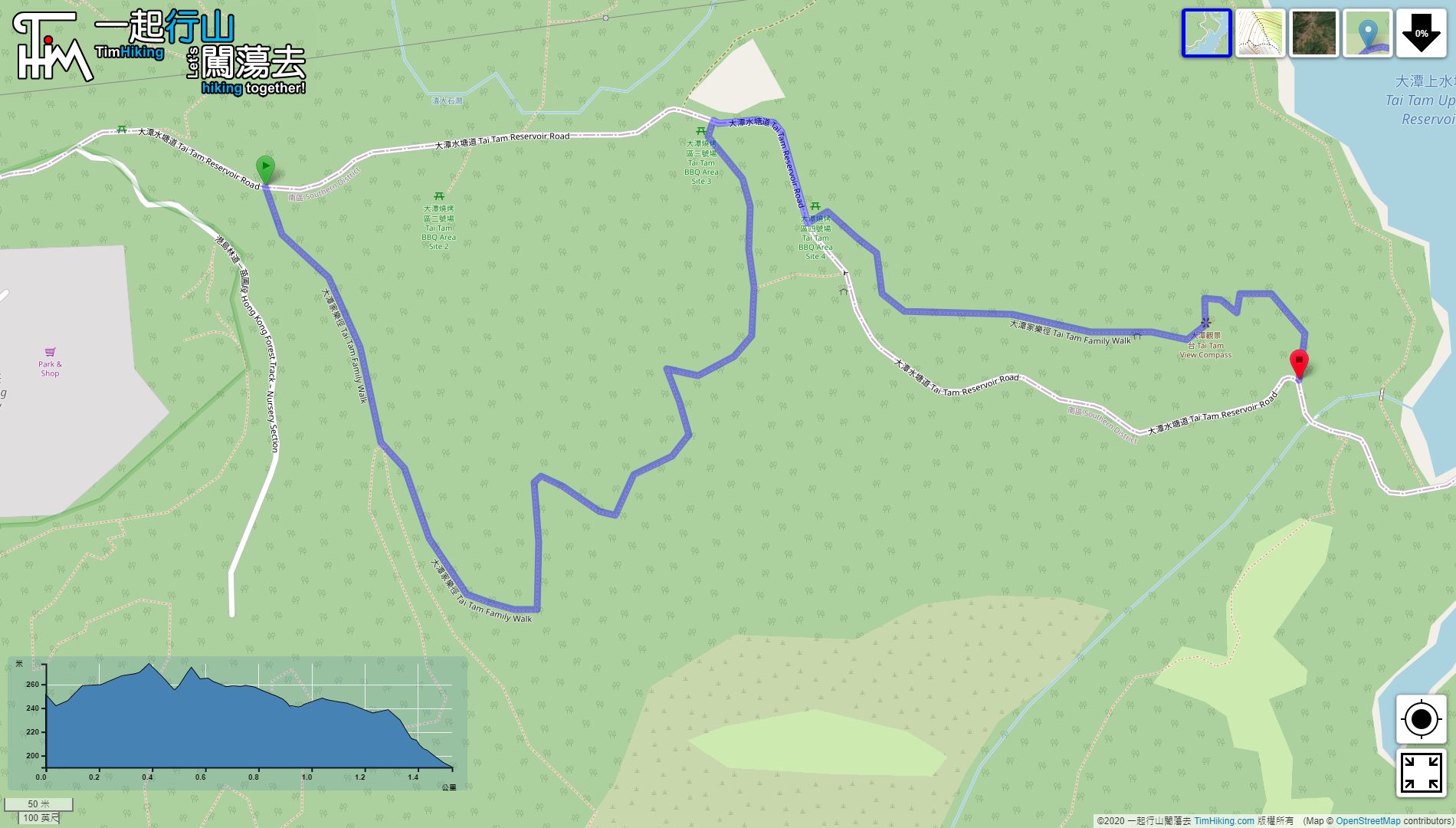

| View : |  | ||
| Difficulty : |  | ||
| Path : | |||
| Length : | 1.6km | ||
| Time : | 1hours | ||
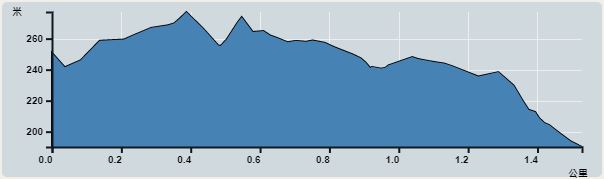 | |
| Ascent : 77m | Descent : 137m |
| Max : 277m | Min : 190m |
| (The accuracy of elevation is +/-30m) | |


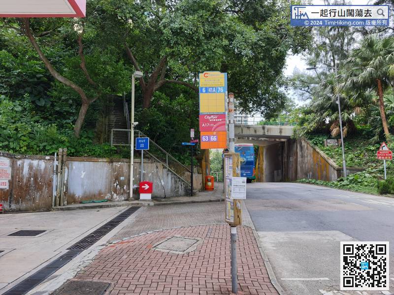
Getting off in Wong Nai Chung Reservoir Park, just next to the petrol station.
 22︰After reaching the top in a few minutes,
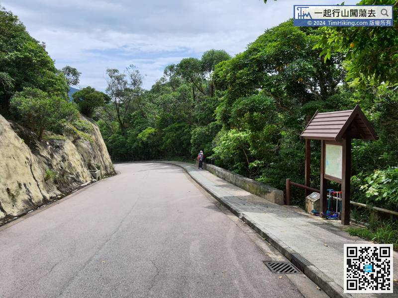 25︰When coming to the bifurcation with no signs, remember to go forward and the right way is the barren trail towards Violet Hill and Hong Kong Parkview.
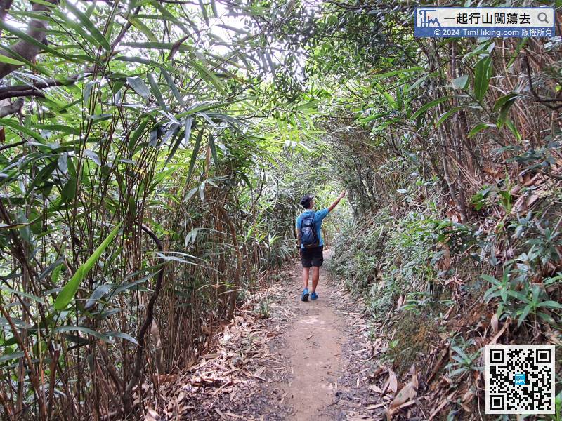
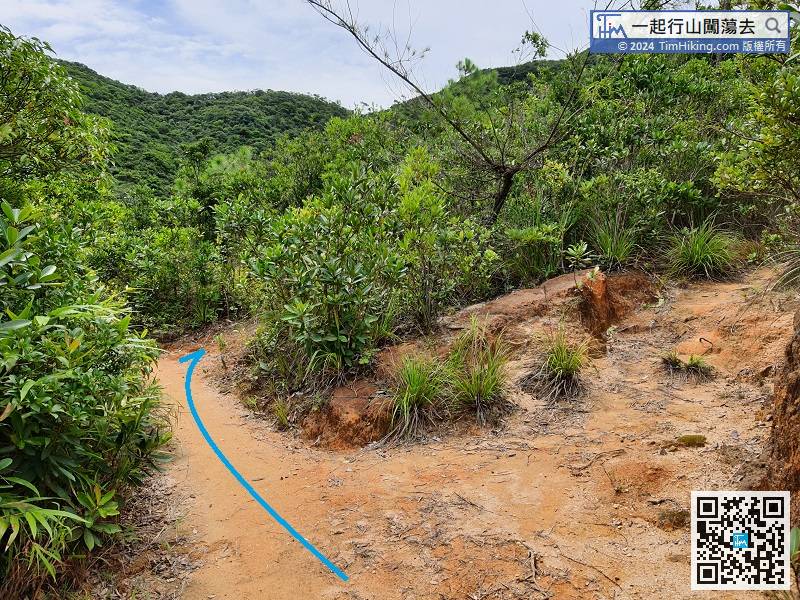
When coming to the bifurcation with no signs, remember to go forward and the right way is the barren trail towards Violet Hill and Hong Kong Parkview.
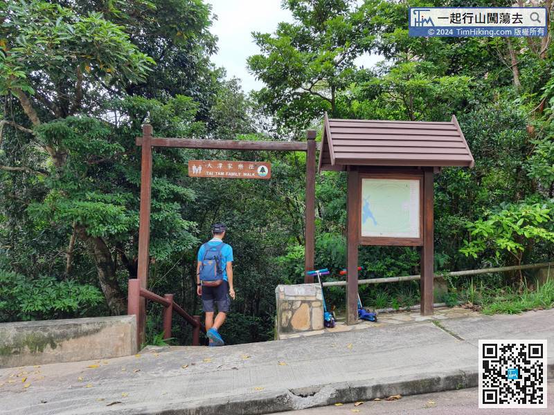
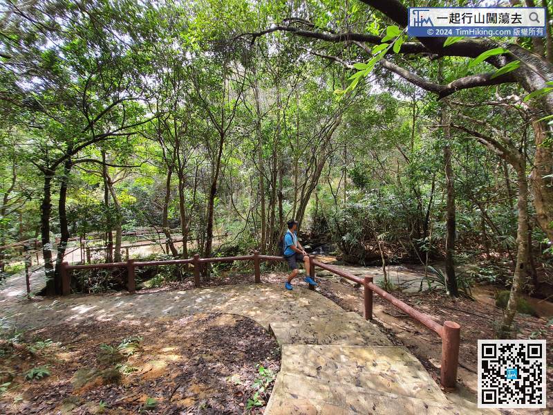
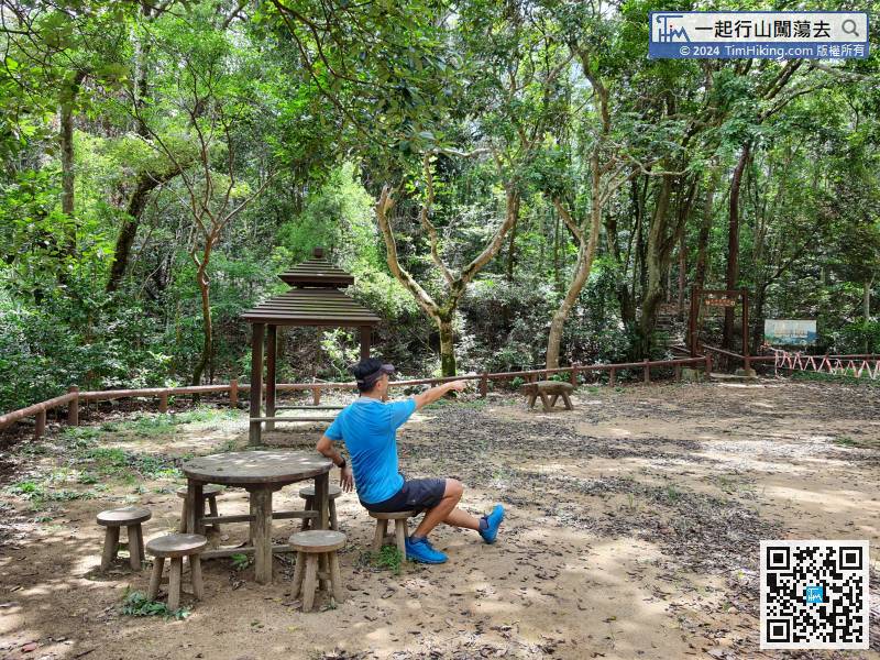
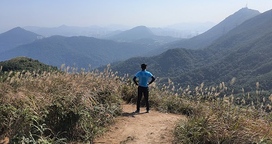
43︰with a map and a small pavilion next to it.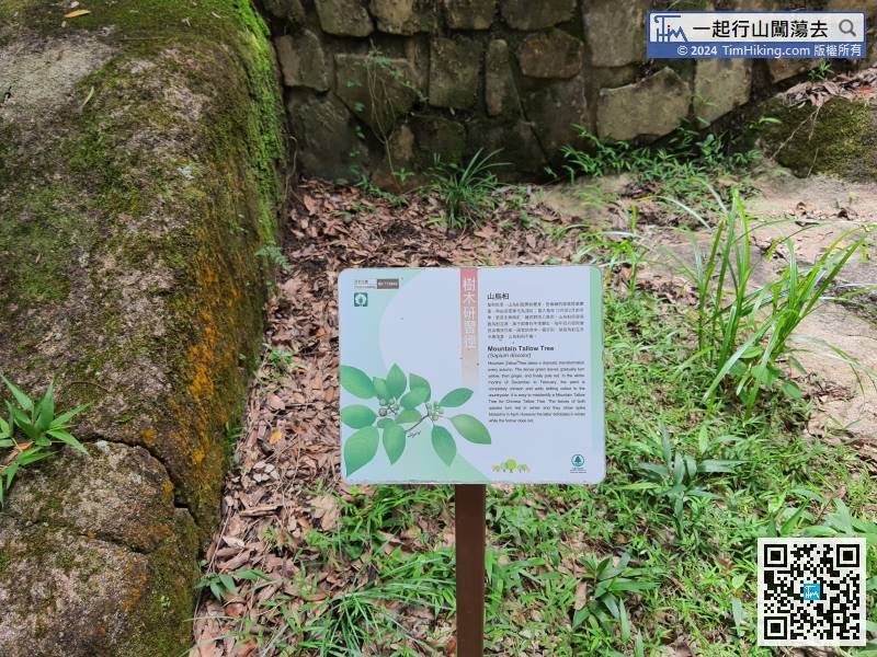 51︰which is denser than a Tree Walk.
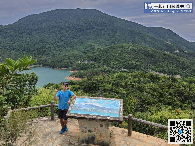
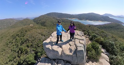
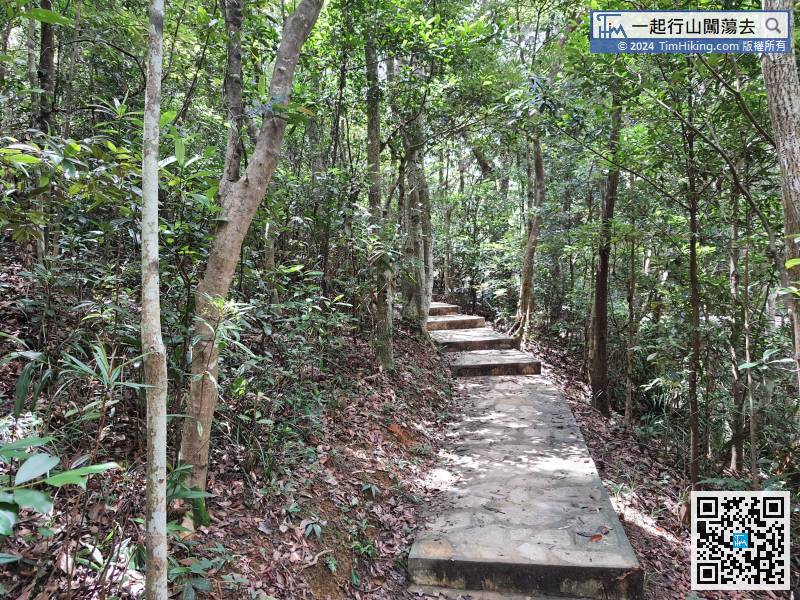 55︰In an instance, will arrive at Tai Tam Viewing Point, which has the most open scenery on this route.
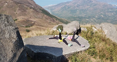
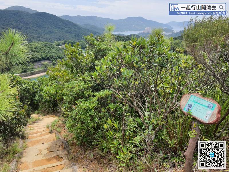
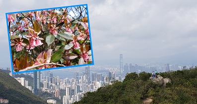
While keep going down the steps, means that the Tai Tam Family Trail is near to the end.


