


 Recommend YouTube


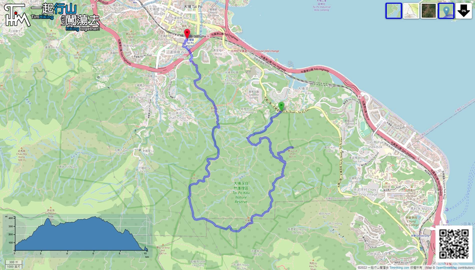
| View : |  | ||
| Difficulty : |  | ||
| Path : | |||
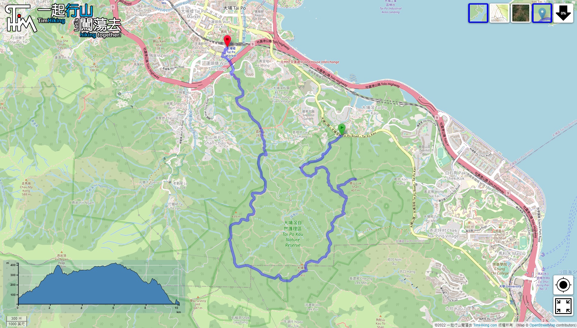
| Length : | 10.1km | ||
| Time : | 3½hours | ||
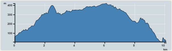 | |
| Ascent : 720m | Descent : 773m |
| Max : 420m | Min : 6m |
| (The accuracy of elevation is +/-30m) | |


 10︰for about 10 minutes, come to a fork,
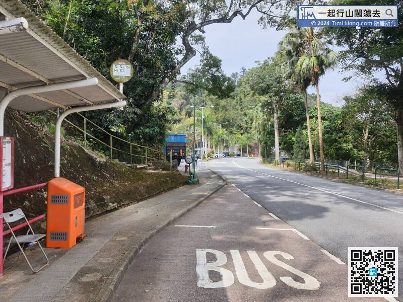
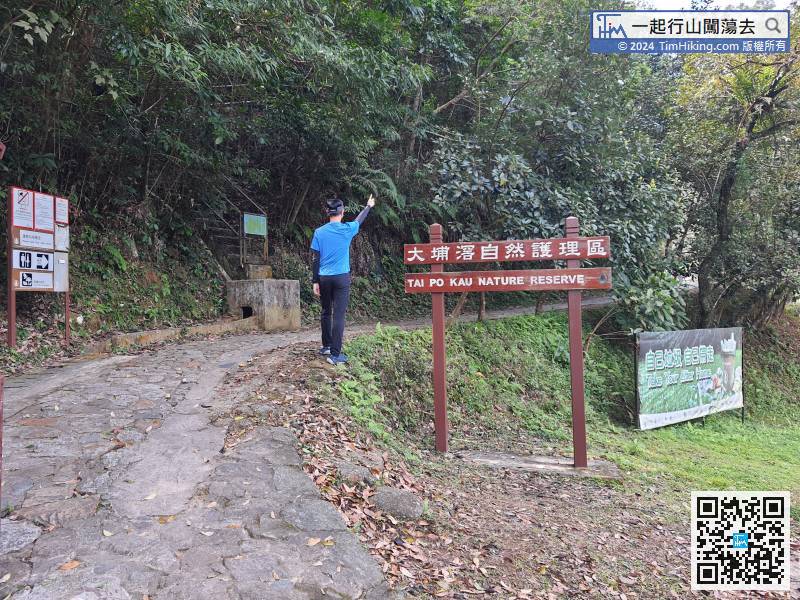
Take a transport to Tai Po Kau first, take bus 72/72A/73A/74A and get off at Tsung Tsai Yuen,
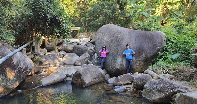
16︰Come to the fork of a creek and turn left.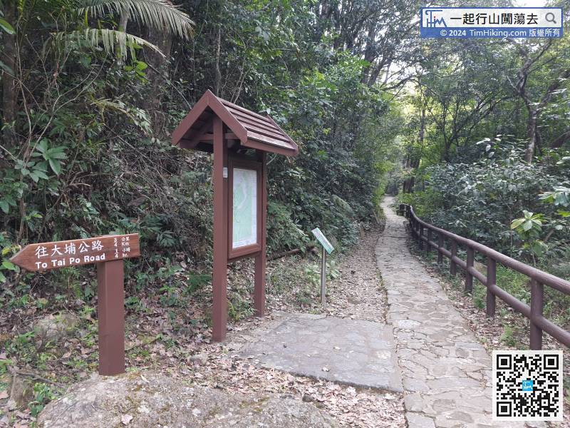 29︰and pay attention to the barren trail on the right.
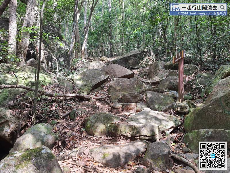 50︰It will be a short walk to the Yellow Walk.
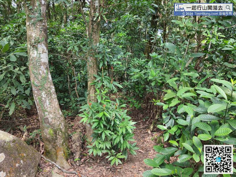
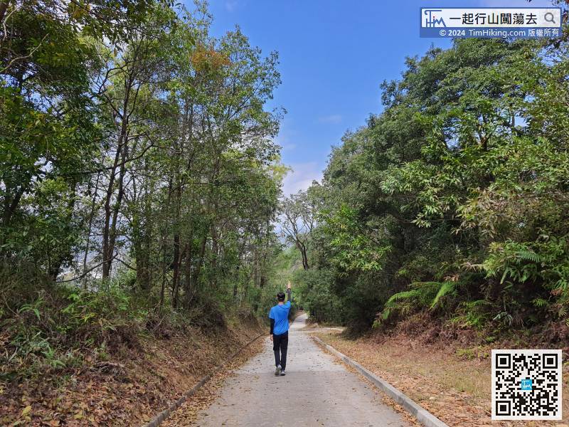
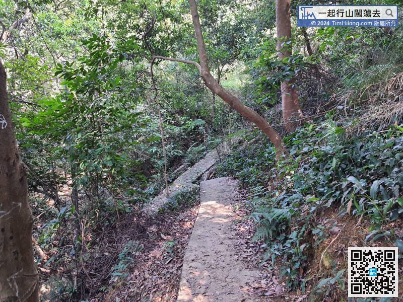
Before connecting to the Forest Track, it was still a dirt trail,
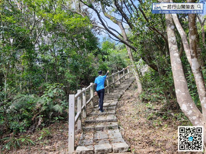
79︰and will see a small pavilion soon.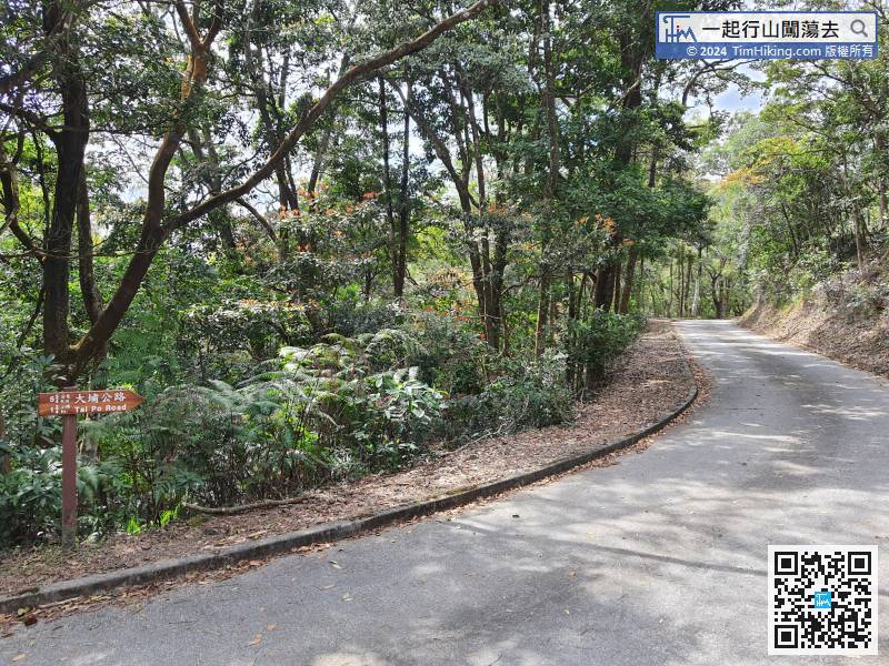 82︰There is a fork before going up the mountain,
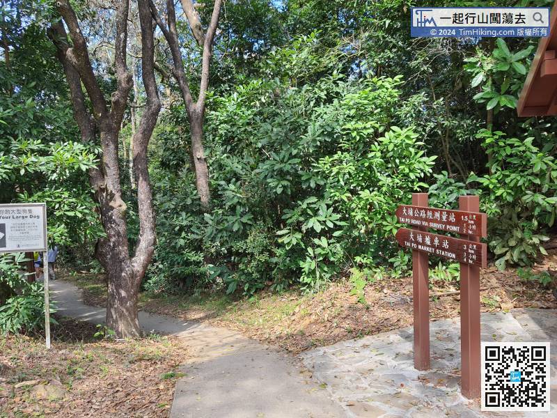
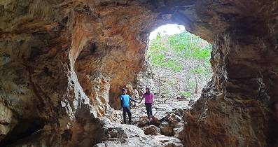
If going to Lai Chi Shan, turn left and enter the small trail.
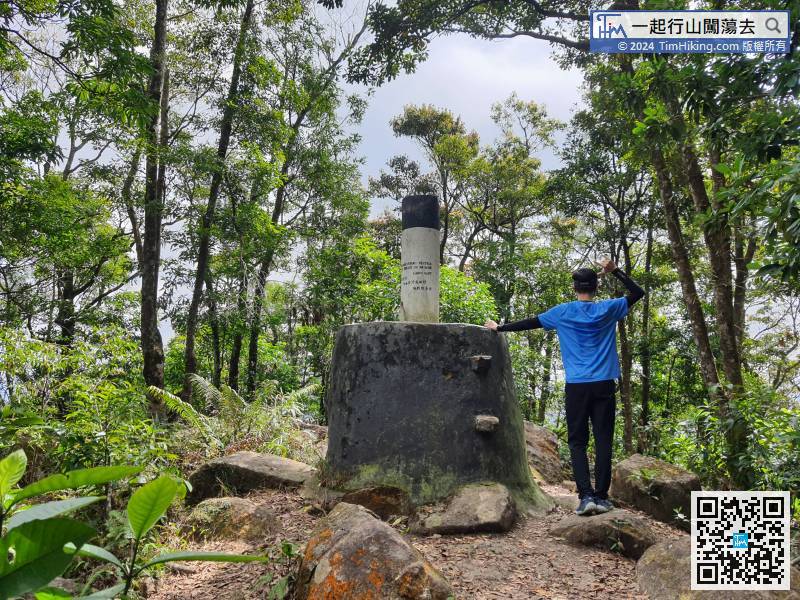
99︰and come to an inconspicuous bifurcation. At this intersection, the barren trail on the right is Sheung Wong Yee Au.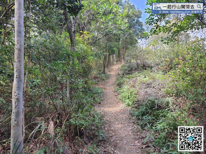
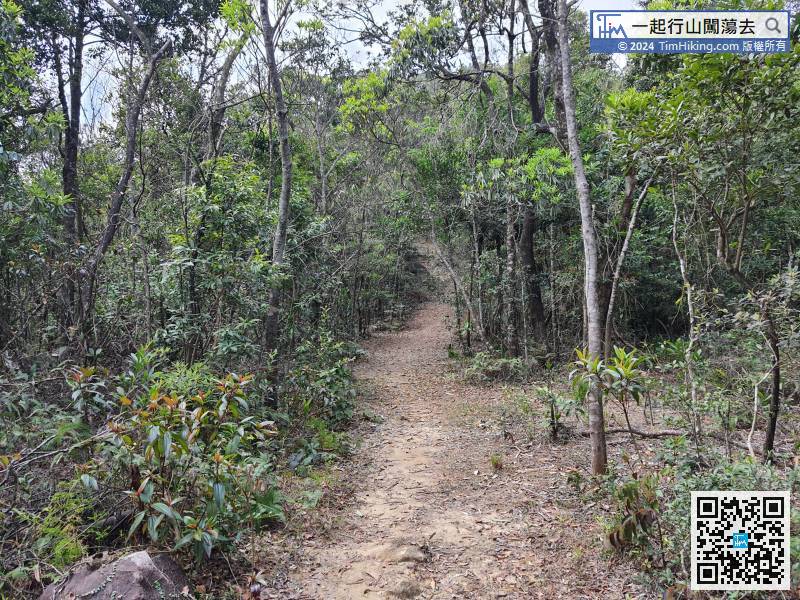
The first section of the mountain trail is very clear,


