


 Recommend YouTube


| View : |  | ||
| Difficulty : |  | ||
| Path : | |||
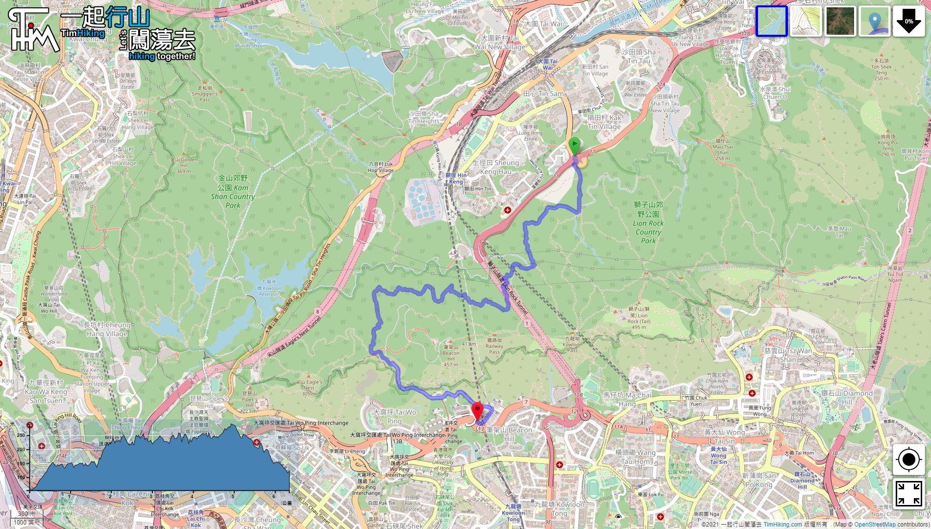
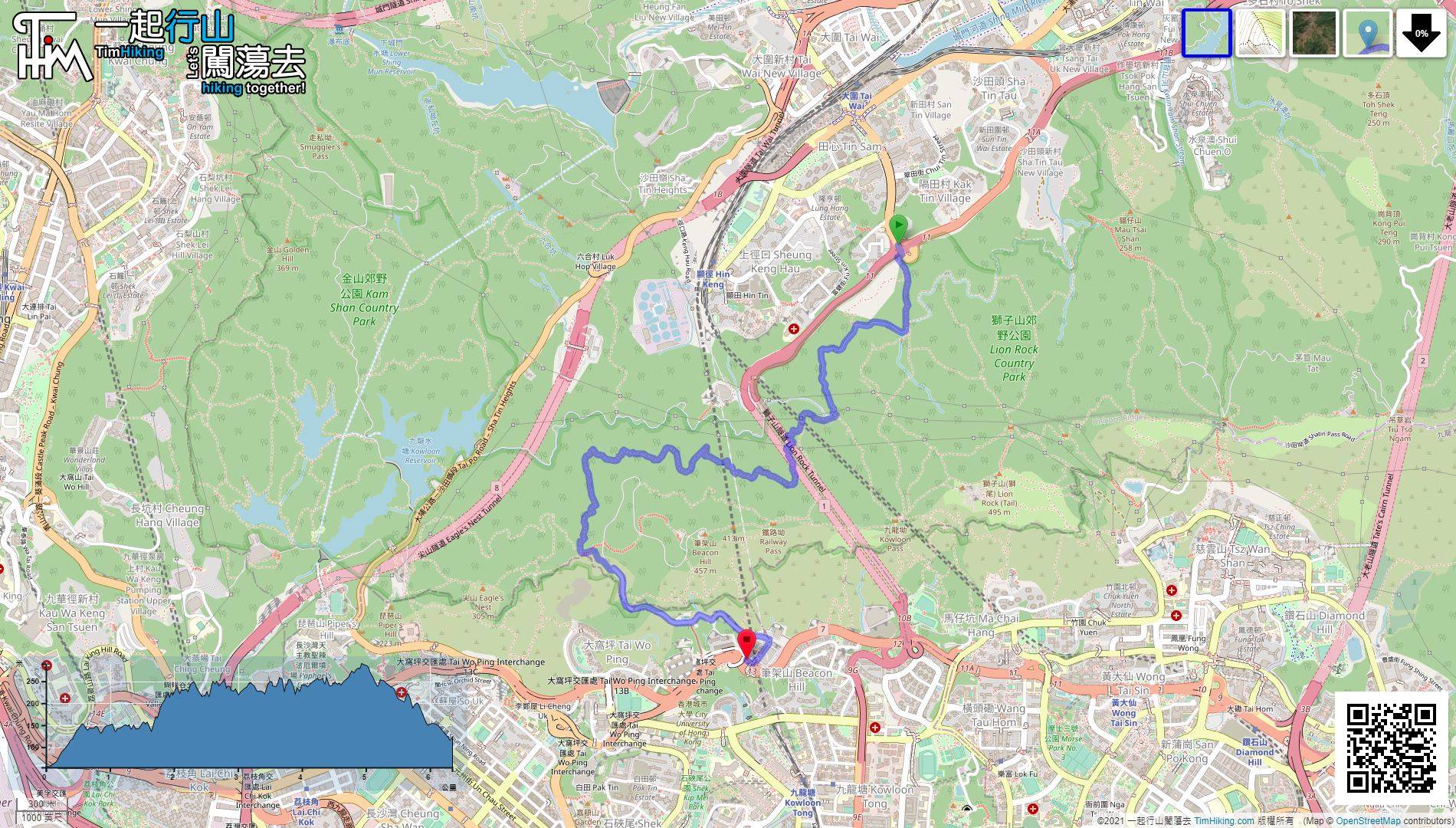
| Length : | 6.4km | ||
| Time : | 2hours | ||
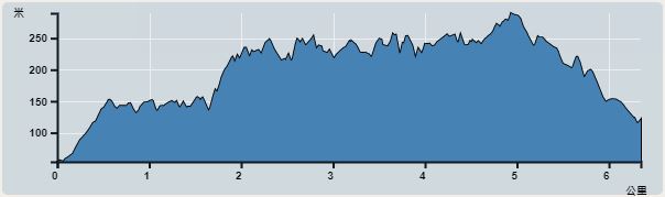 | |
| Ascent : 736m | Descent : 667m |
| Max : 290m | Min : 54m |
| (The accuracy of elevation is +/-30m) | |


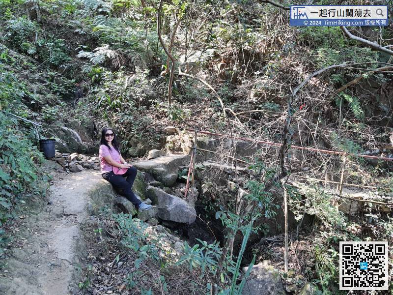
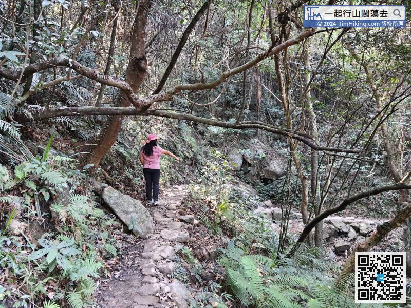
 21︰pay attention to the catchwater concrete bridge on the left.
 22︰After crossing the catchwater with the concrete bridge, going straight is Kin Lung Ancient Trail,
After crossing the catchwater with the concrete bridge, going straight is Kin Lung Ancient Trail,
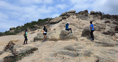
31︰After passing through the electric tower, there is a bifurcated road.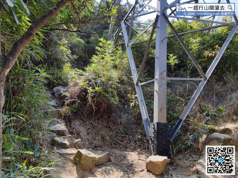
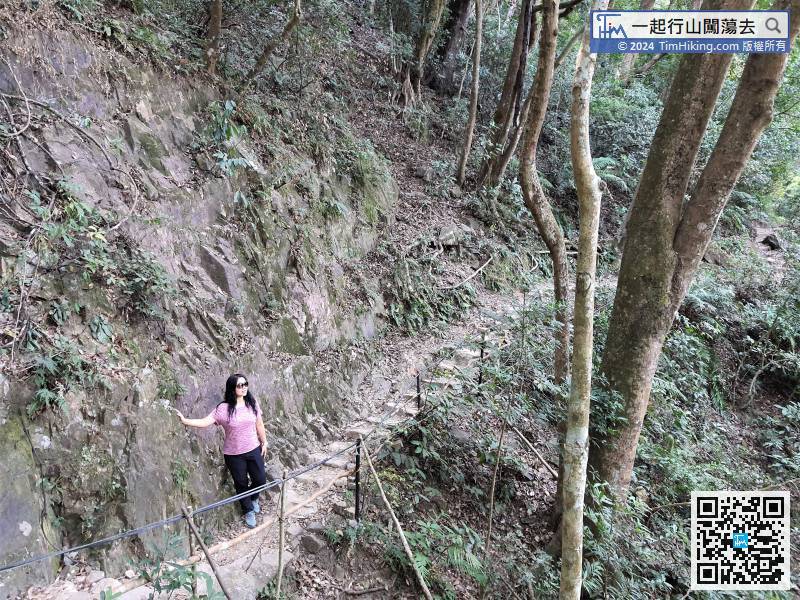
The big stone slope ends when reached the bottom of the electric tower.
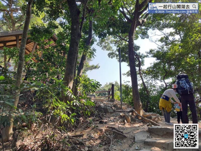 66︰will arrive at Phoenix House.


