


 Recommend YouTube


| View : |  | ||
| Difficulty : |  | ||
| Path : | |||
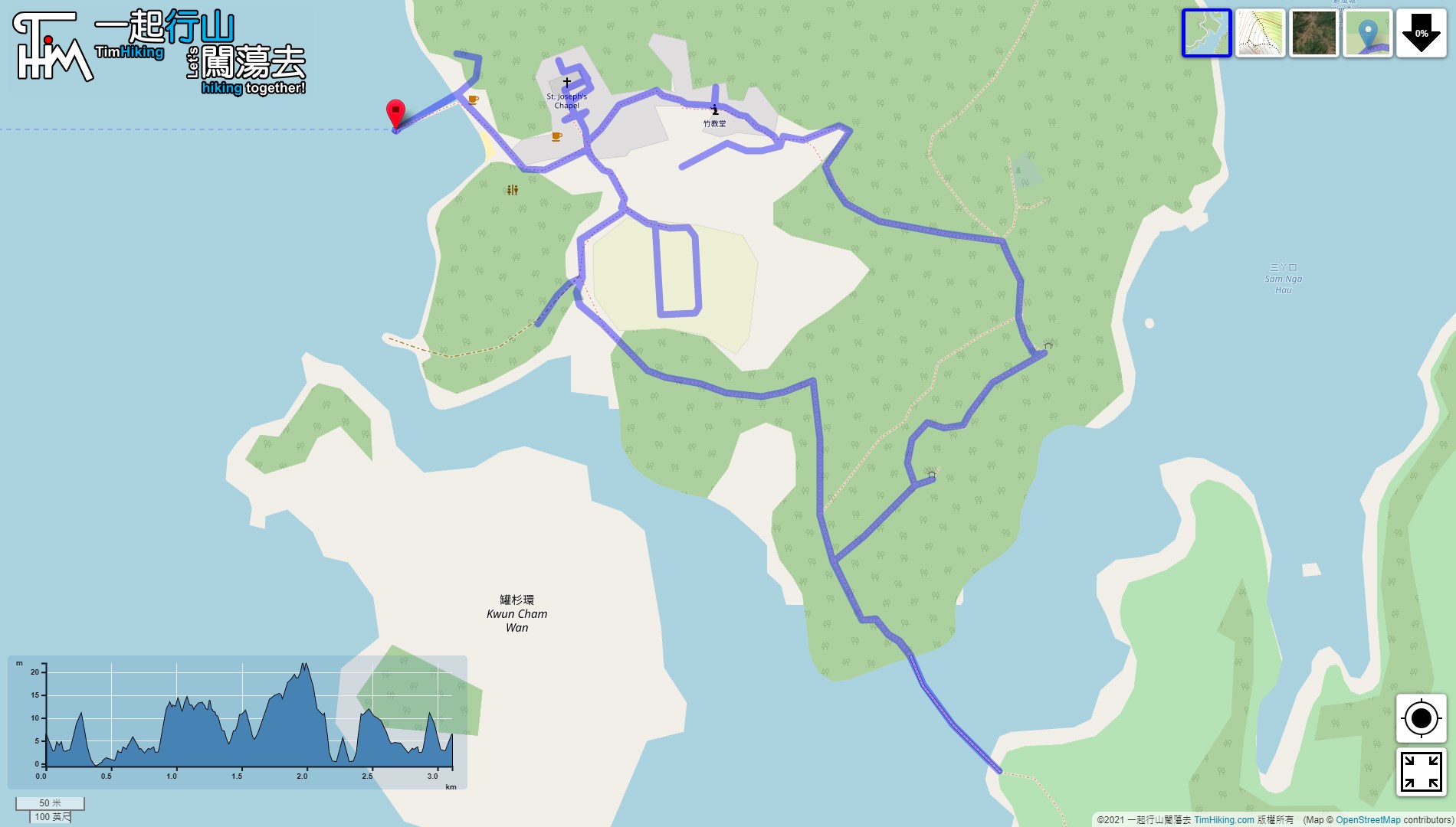
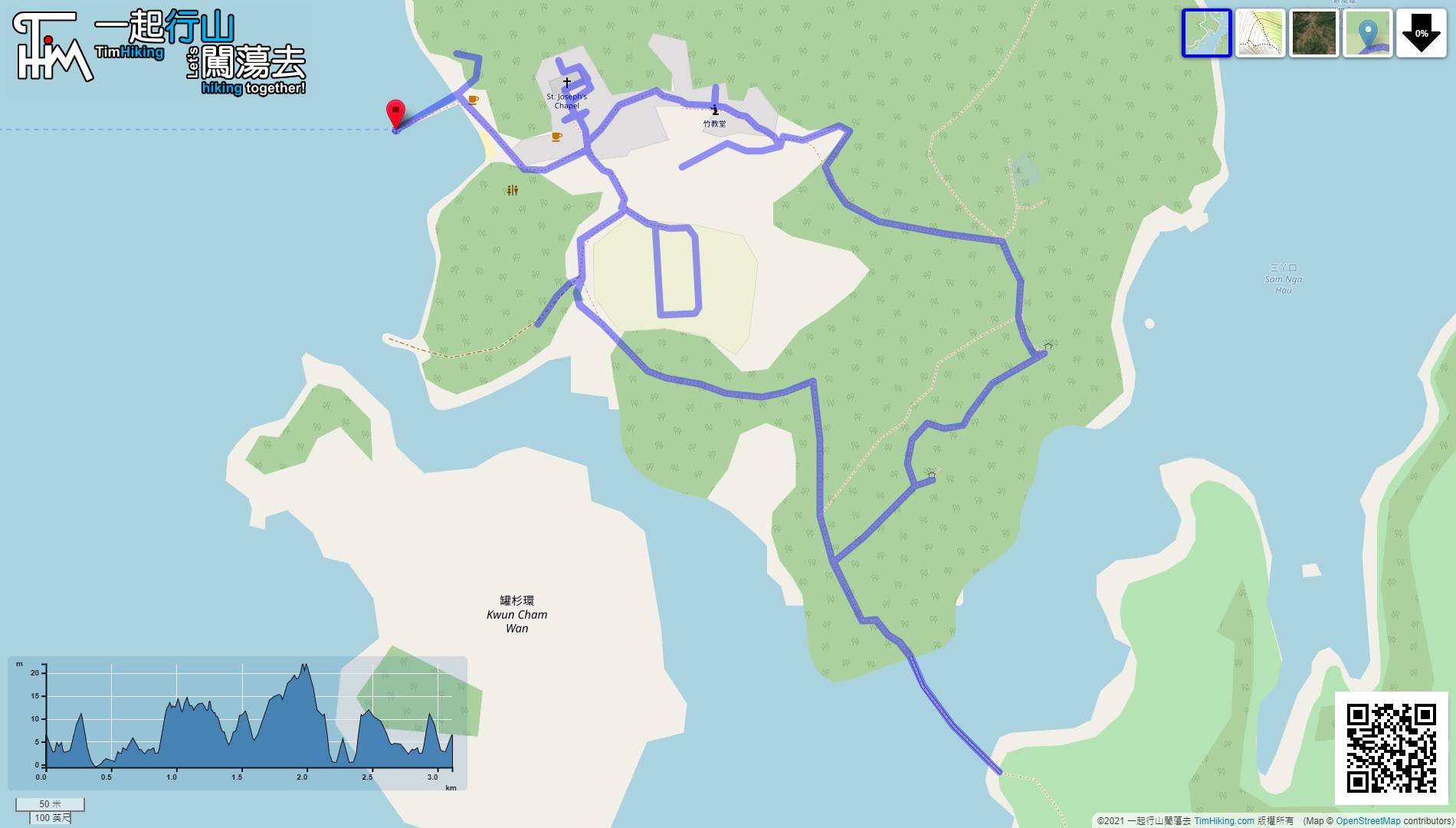
| Length : | 3.1km | ||
| Time : | 3hours | ||
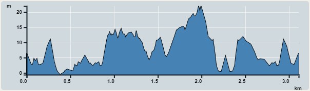 | |
| Ascent : 92m | Descent : 92m |
| Max : 22m | Min : 0m |
| (The accuracy of elevation is +/-30m) | |


 5︰As soon as coming to the pier, will see a beautiful colorful wave wind chimes,
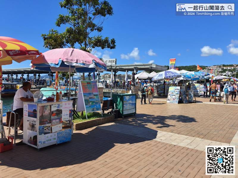
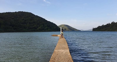
First of all, choose any Kaito on the Sai Kung waterfront to Yim Tin Tsai.
29︰which are very gorgeous and distinctive.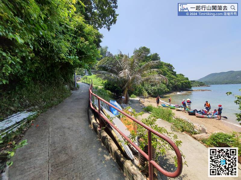
Start walking along the only road along the shore.
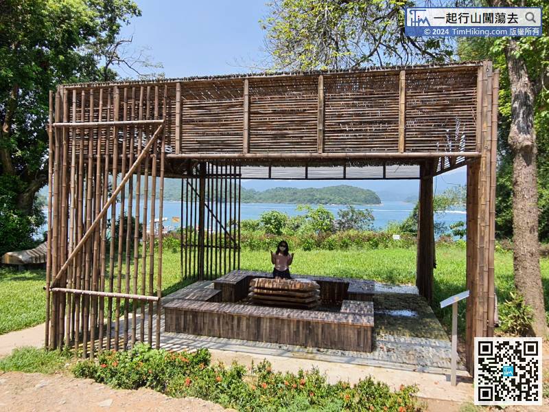
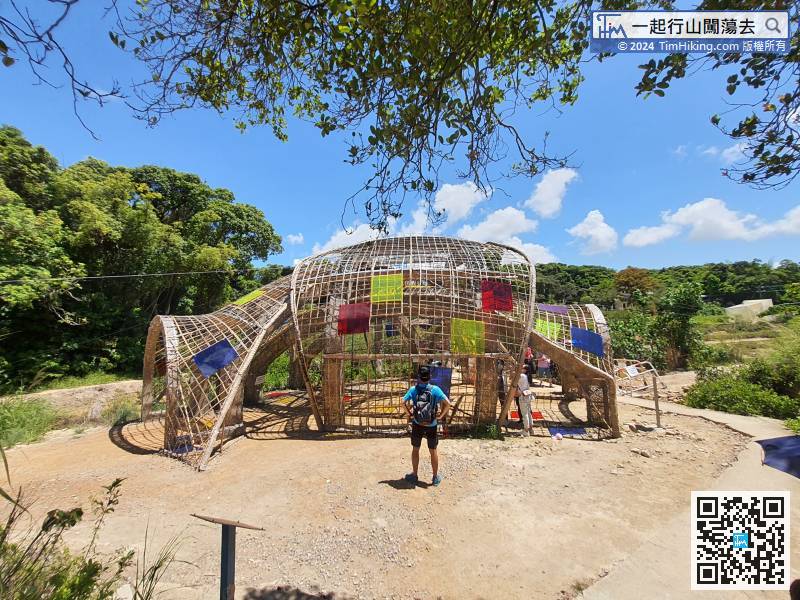
44︰like a large pavilion and made of vine branches,
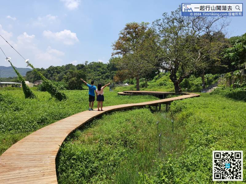
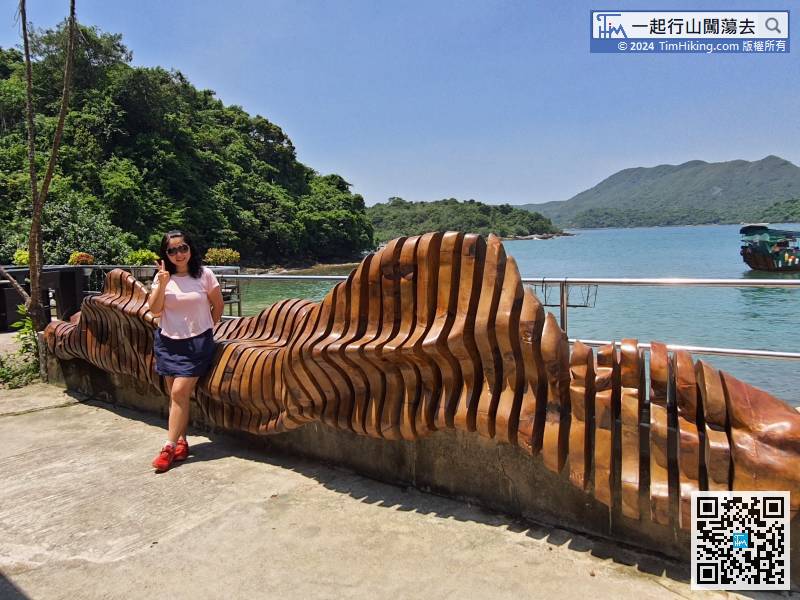
Soon coming to a super large artwork,
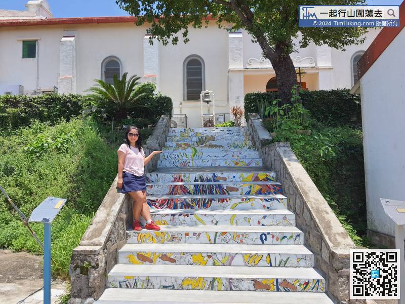
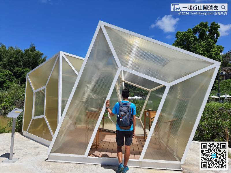
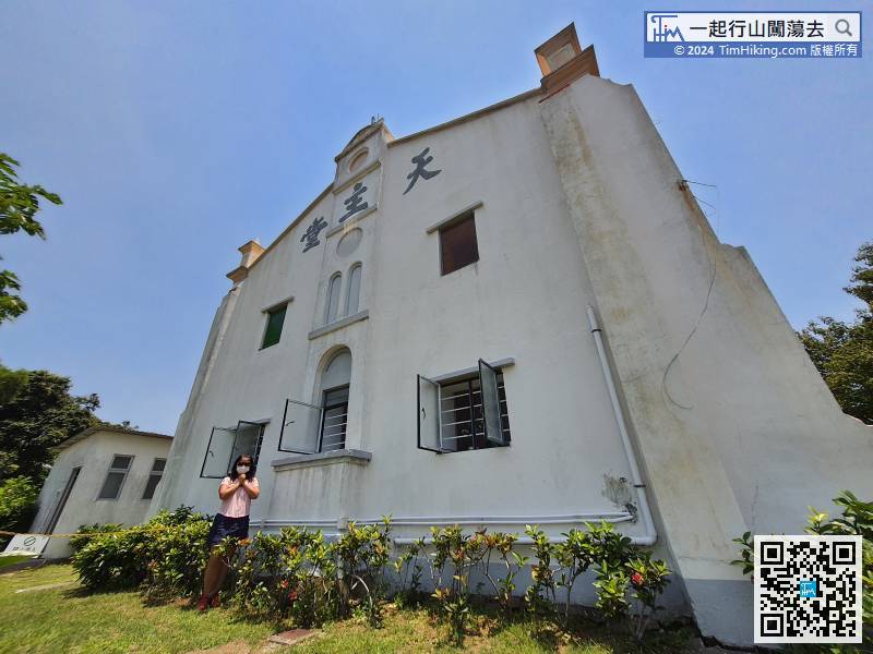
The mosaic step on the upper chapel is one of the newly created artworks,
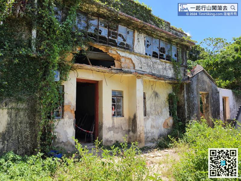
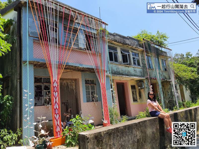
Seeing one after another nearly collapsed village houses, it is extremely dangerous, visitors should not approach it.
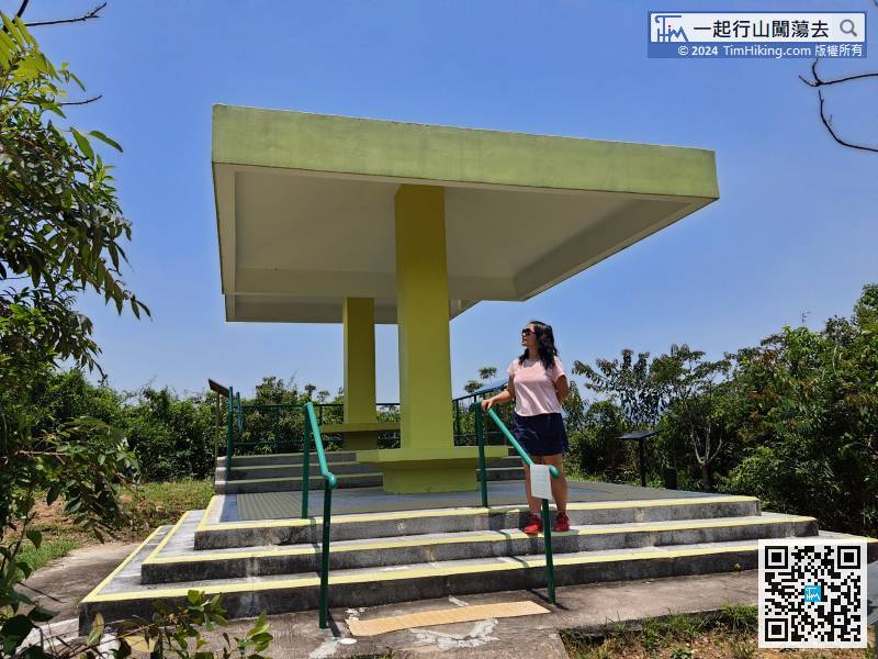
126︰Just go a little forward, will arrive at Twin Pavilions,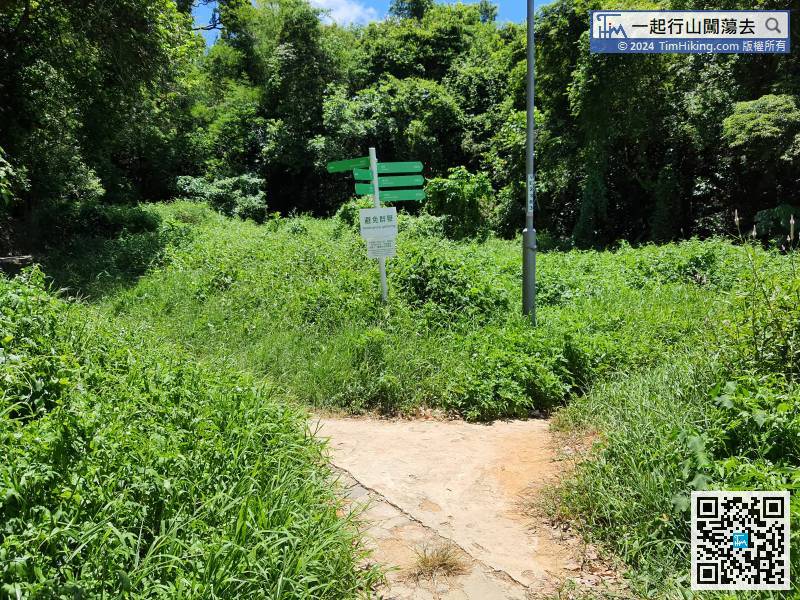
Keep to the left at the bifurcation.
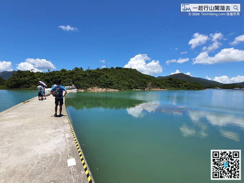
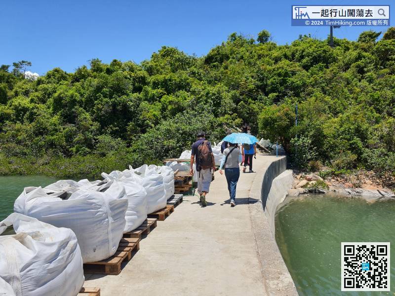
131︰Jade-Girdle Bridge was built in the early 1950s. At that time, due to the lack of resources on Yim Tin Tsai Island, the villagers built the Jade-Girdle Bridge to pass through Kau Sai Chau, used to open up farming resources.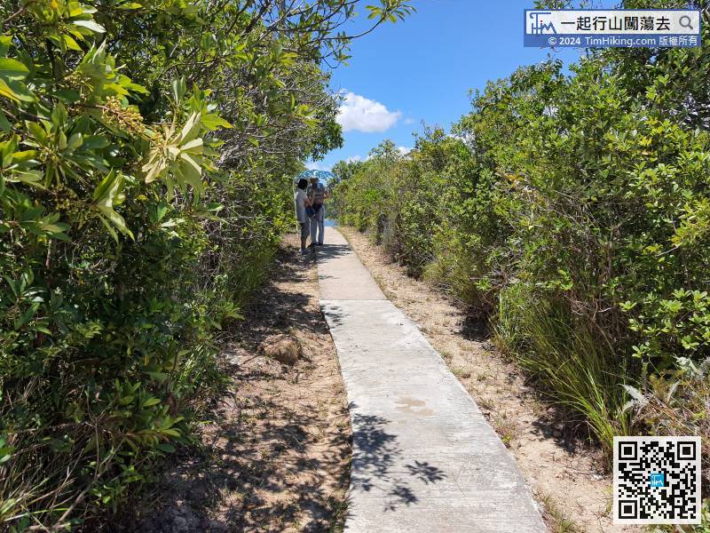
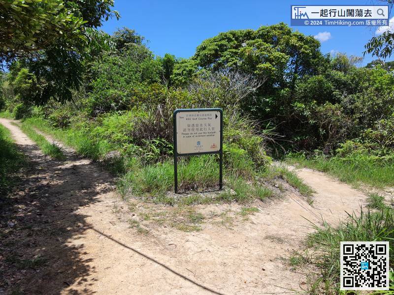
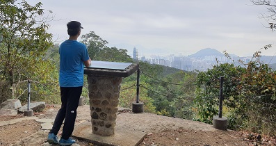
At the first bifurcation of Kau Sai Chau, there is a clear sign. On the left is the golf course, which is forbidden to enter. On the right, is the way to Kau Sai Chau Pier. The distance is about 1 km, around trip is 2km.


