


 Recommend YouTube


| View : |  | ||
| Difficulty : |  | ||
| Path : | |||
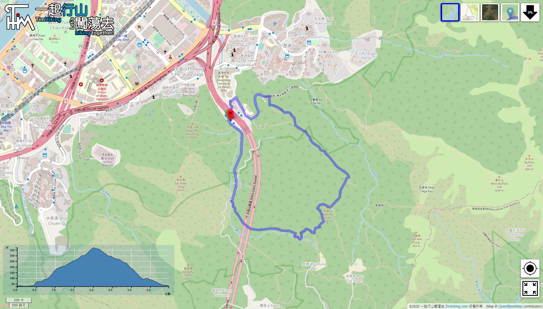
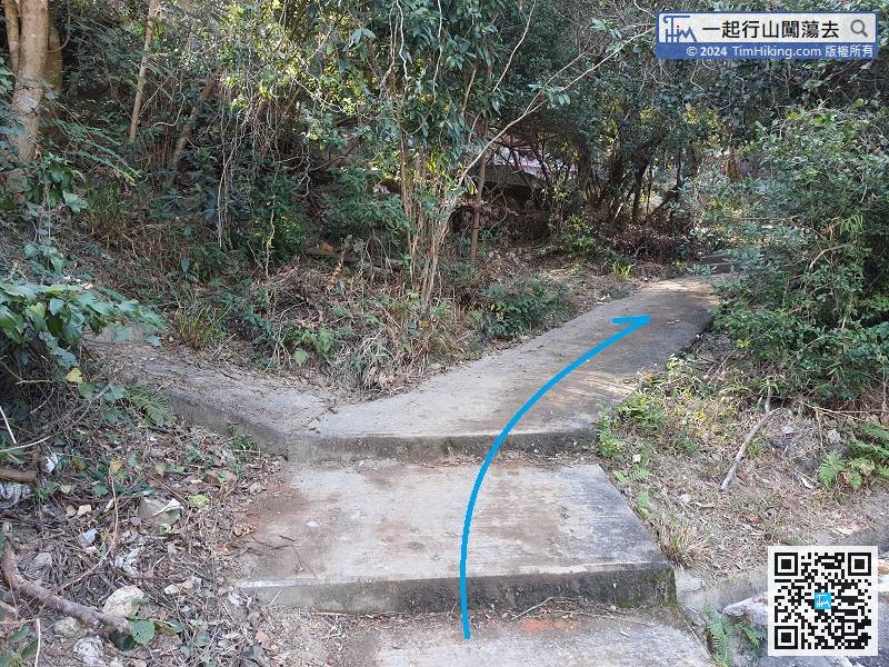
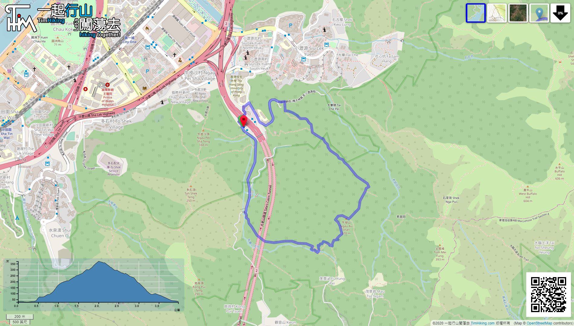
| Length : | 3.9km | ||
| Time : | 3hours | ||
 | |
| Ascent : 338m | Descent : 348m |
| Max : 356m | Min : 28m |
| (The accuracy of elevation is +/-30m) | |


 12︰will see the cemetery of the original residents. Then, enter the mountain.
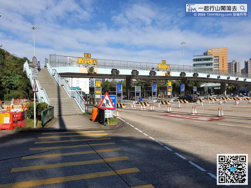
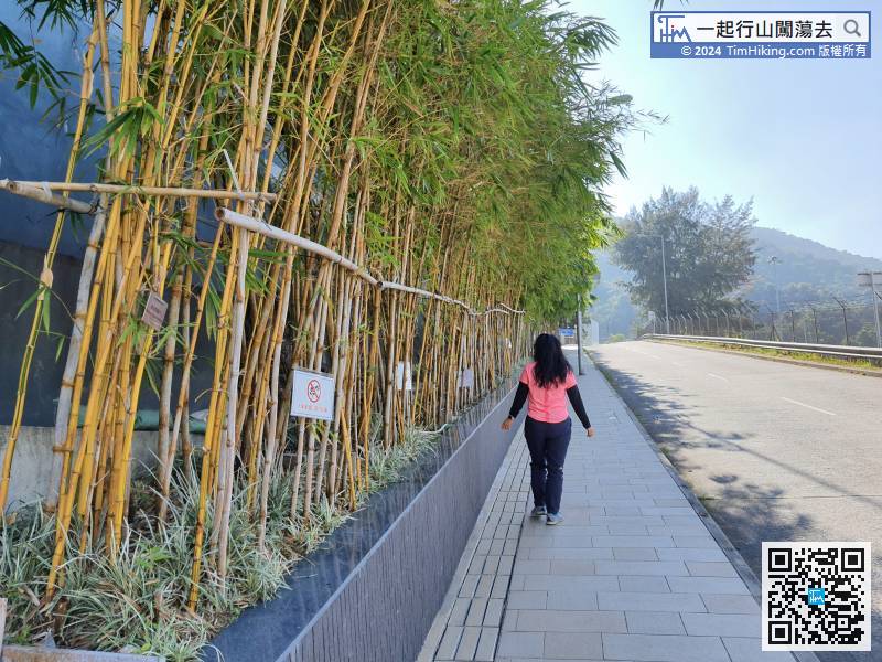
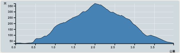
First of all, take any bus that passes through Tate's Cairn Tunnel and get off at the Old Man Tunnel.
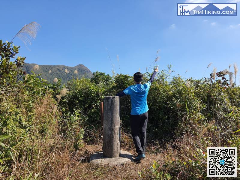
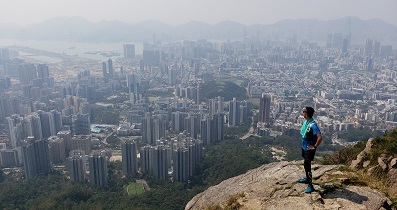
 29︰This trail is different from other mountain trails. You cannot see the route when looking up to the mountain.
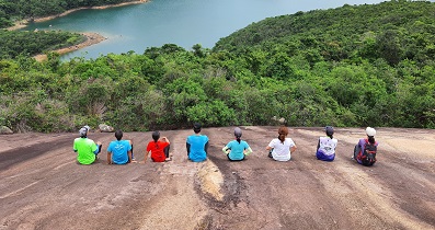
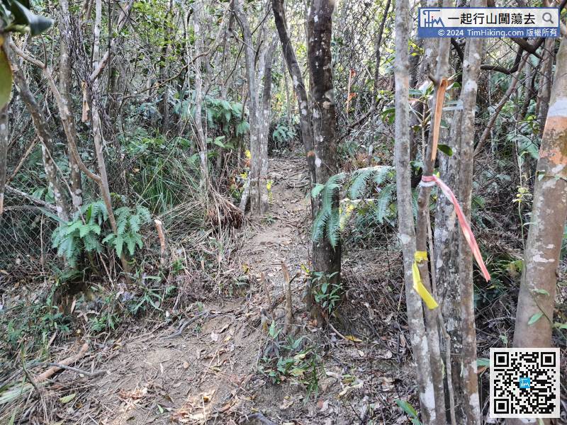 41︰The landscape of Ngau Au Shan is not open scenery, and there are too many trees and grasses around it.
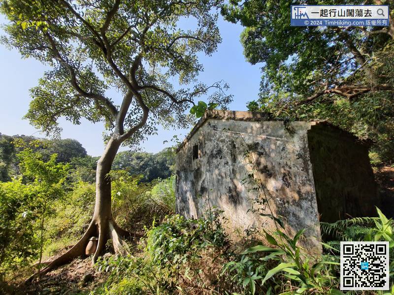
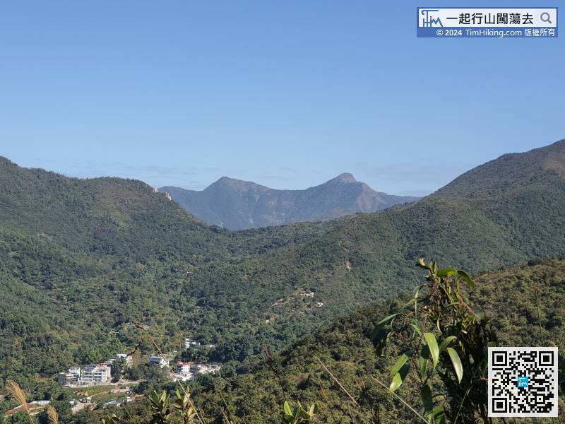 52︰For the wrong way, will see the abandoned village that has collapsed
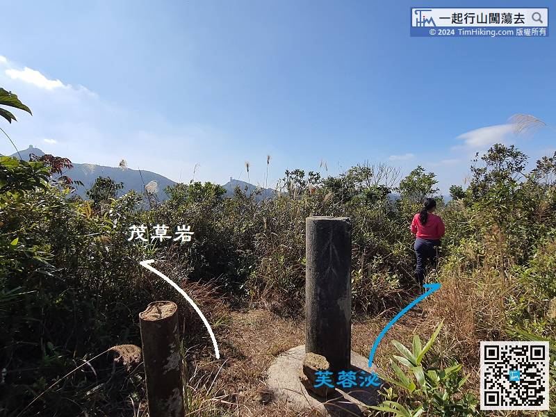
There are two routes to leave, keep left to Mau Tso Ngam, keep right to Fu Yung Pei.
In short, the goal is to find this stone step, because this is a very important bifurcation.
71︰Keep right and will get back to the concrete road.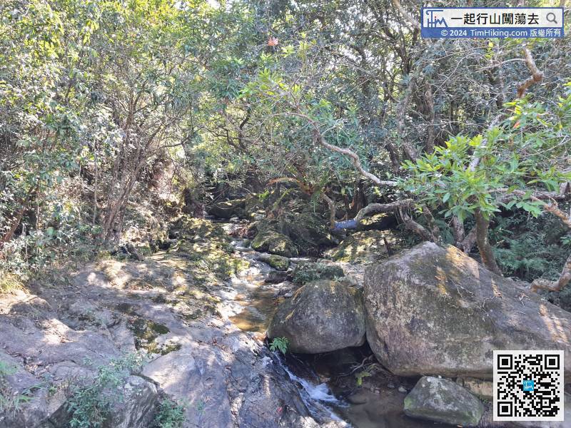


