


 Recommend YouTube


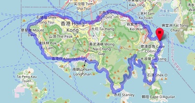
| View : |  | ||
| Difficulty : |  | ||
| Path : | |||
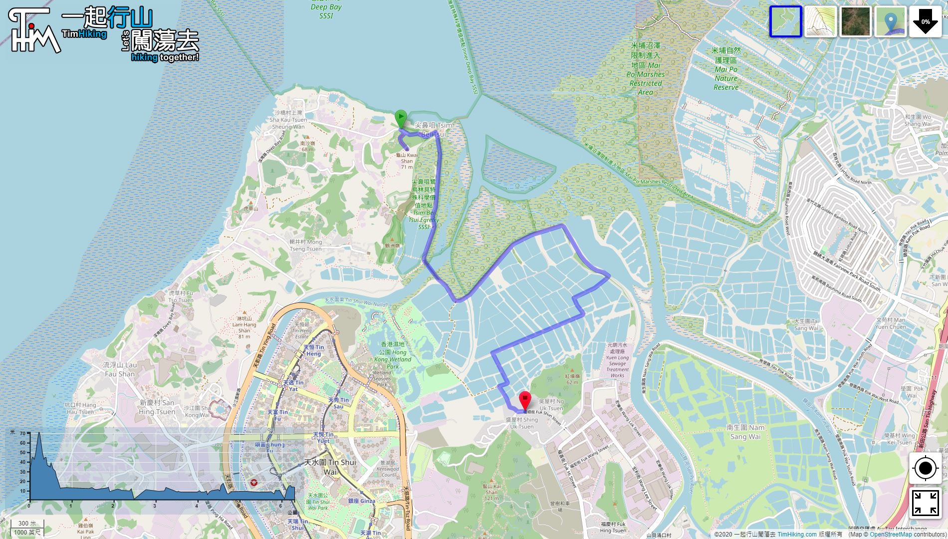
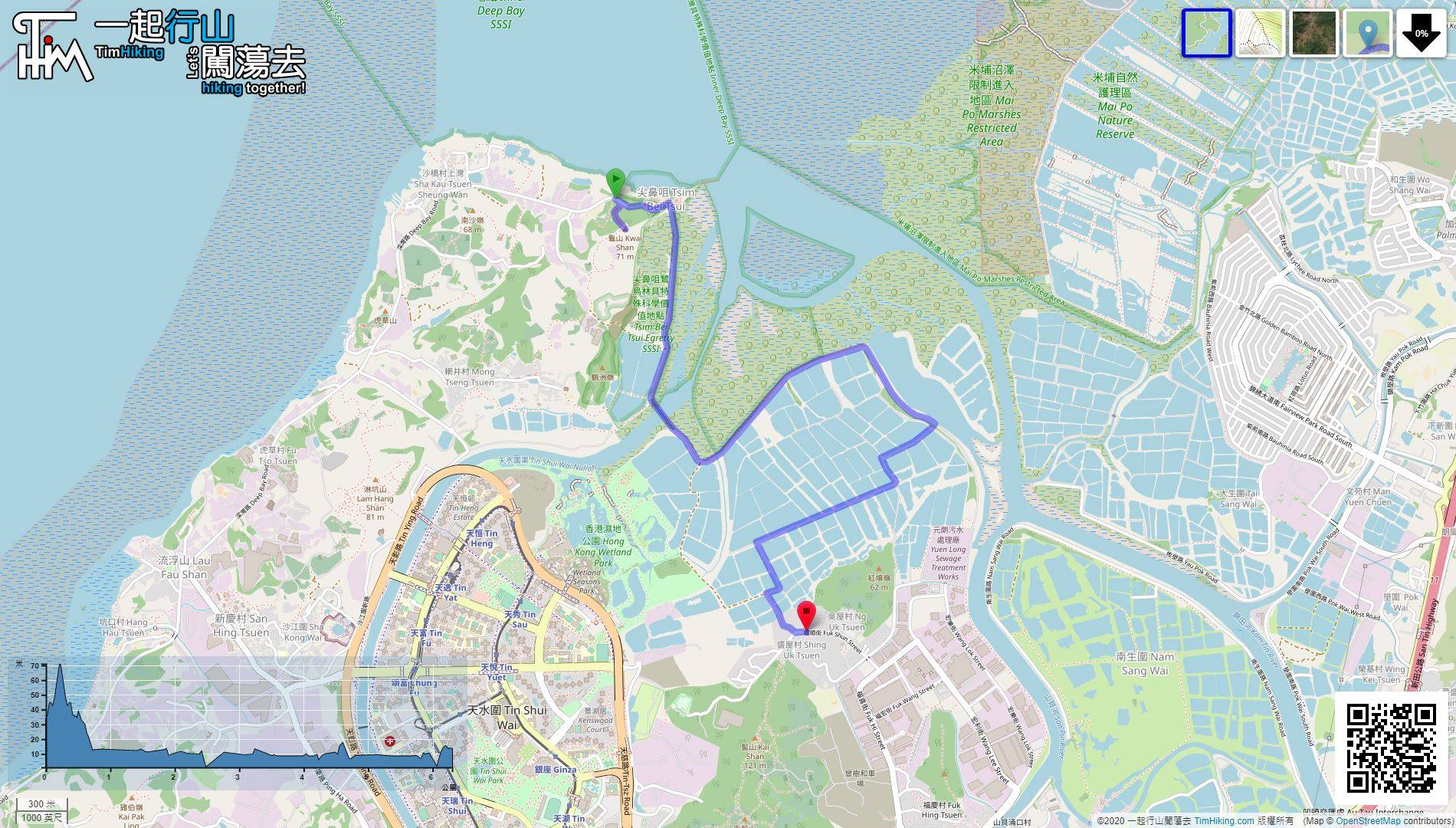
| Length : | 6.6km | ||
| Time : | 2hours | ||
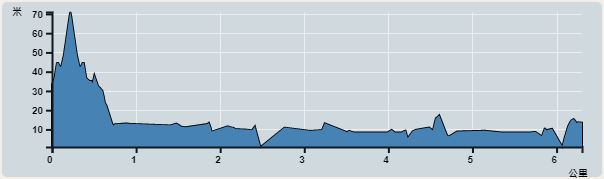 | |
| Ascent : 156m | Descent : 166m |
| Max : 56m | Min : 0m |
| (The accuracy of elevation is +/-30m) | |


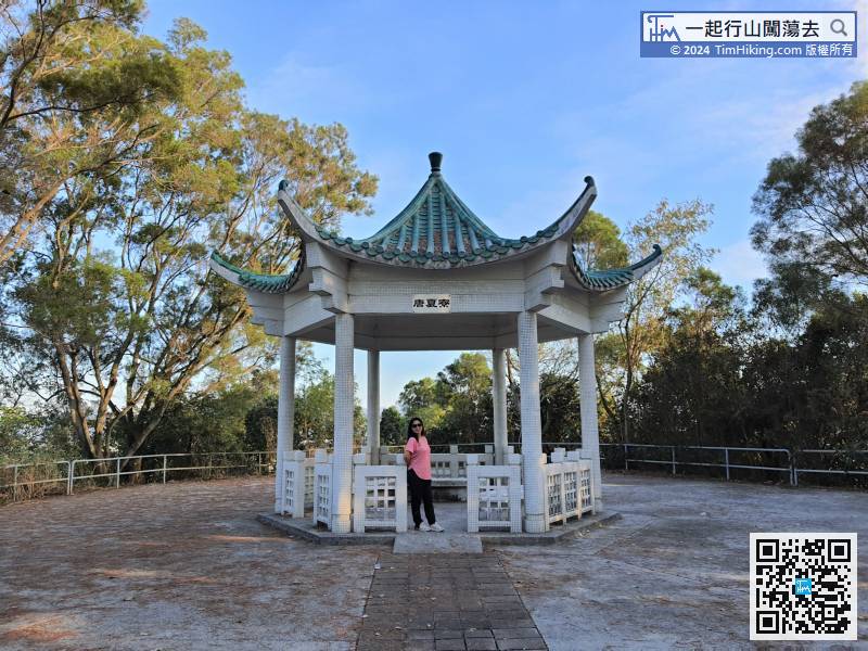
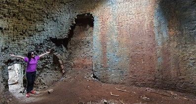
 6︰to explain the history of Tong Ha Liu.
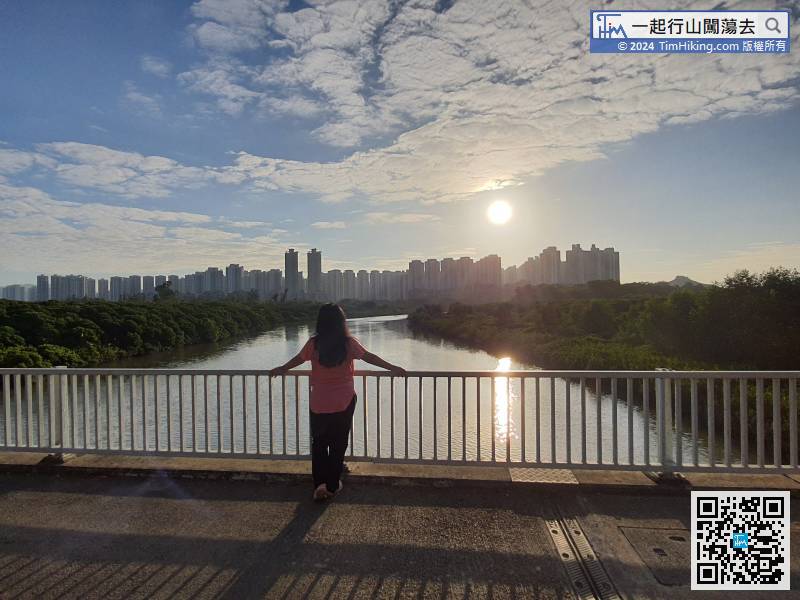
 15︰This is the best location to look at Shenzhen Shekou from a distance. There are many tall buildings, like a concrete forest.
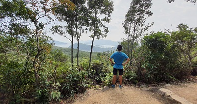
 28︰Go to the Police Post 29,
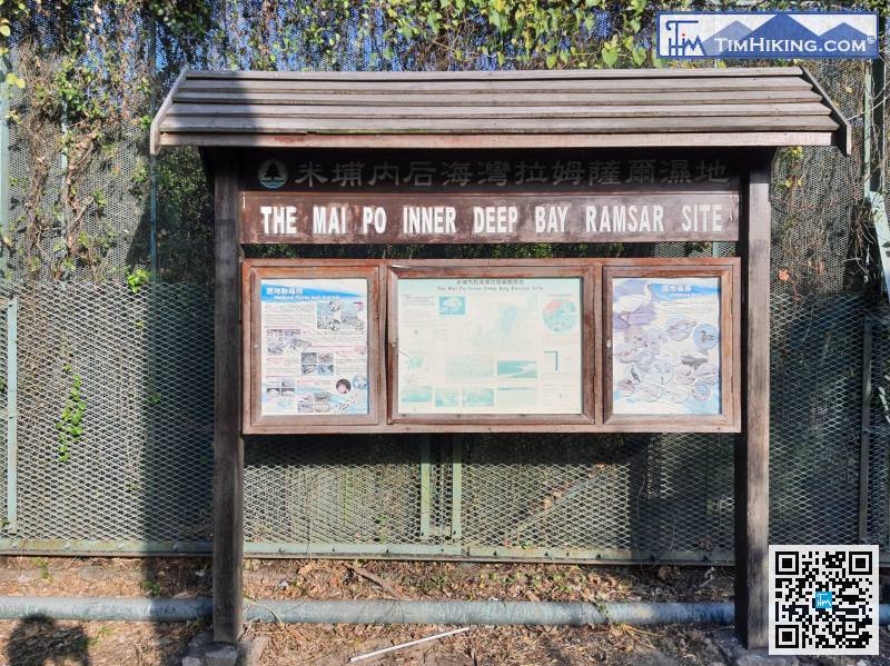
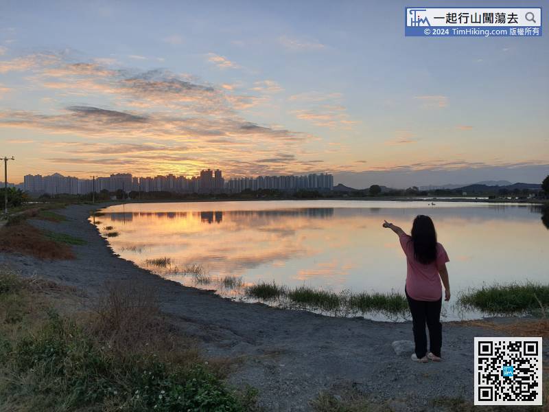
There is a large bulletin board nearby. The surrounding areas belong to the Mai Po Inner Deep Bay Ramsar Site.
42︰must turn right and take a little bit of mud path.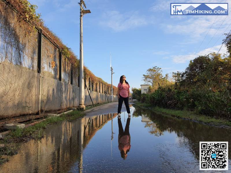
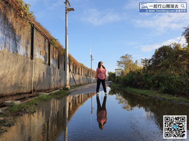
The large iron fences along the way actually block a lot of scenery.


