


 YouTube 隨 機 推 介


| 景觀︰ |  | ||
| 難度︰ |  | ||
 (蝦山篤退出) | |||
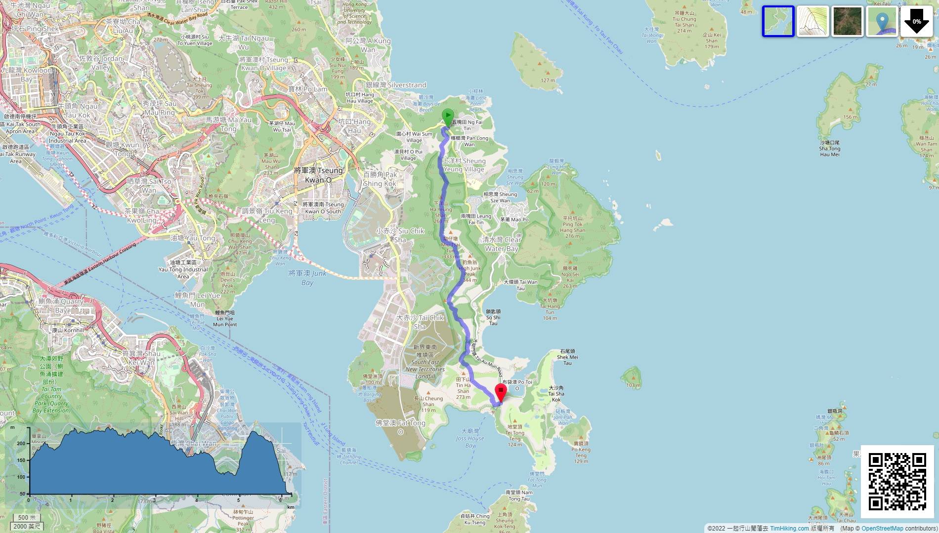
| 路線︰ | |||
| 全長︰ | 6.3公里 | 需時︰ | 3小時 |
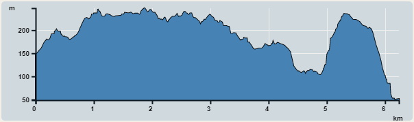 | |
| 攀升︰434米 | 下降︰520米 |
| 最高︰248米 | 最低︰49米 |
| (海拔高度值只供參考 誤差約是30米內) | |


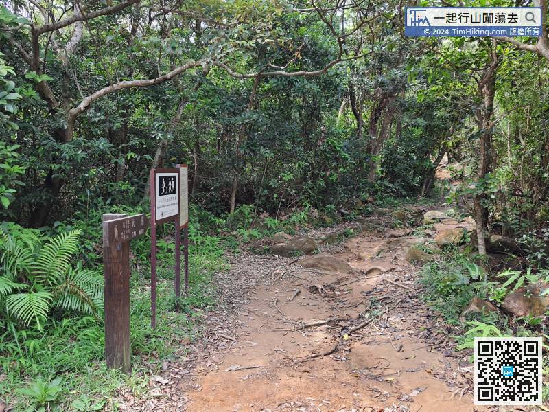
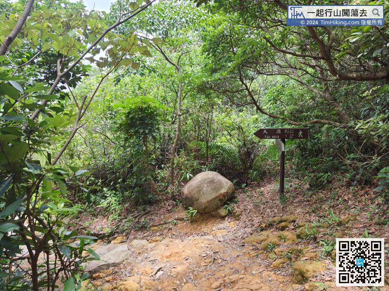
 7︰在第一個分叉路口要轉左,
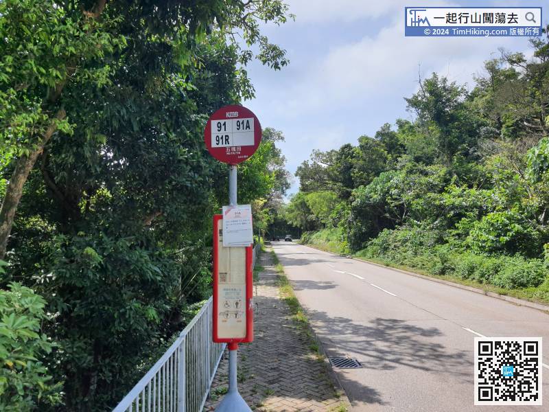
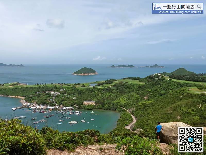
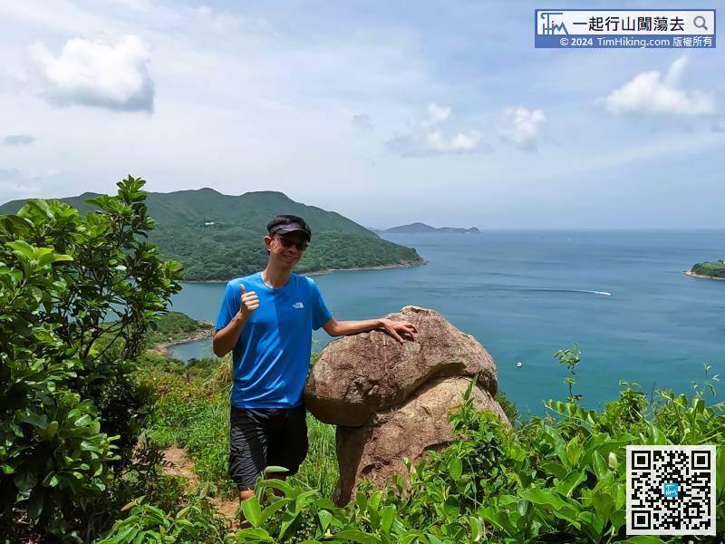
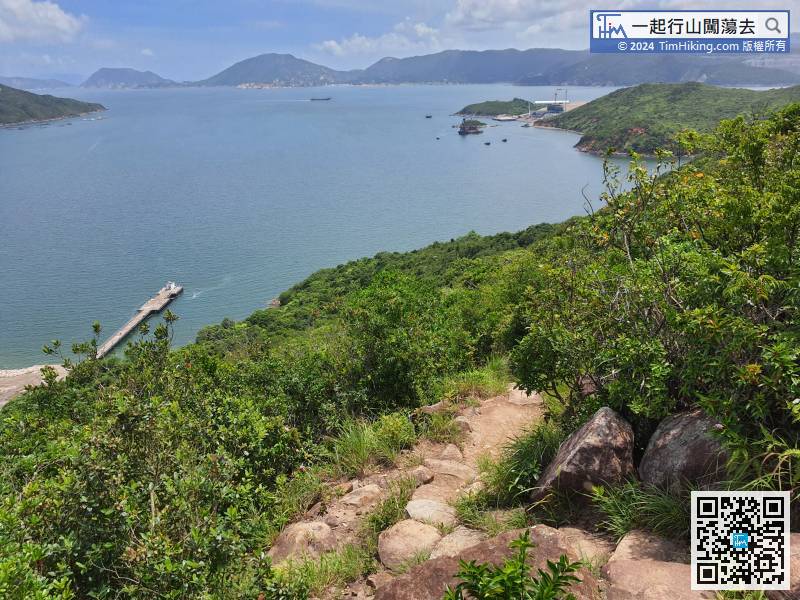
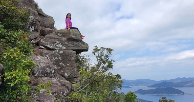
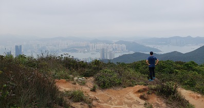
 26︰在中途,左邊可望到布袋澳,
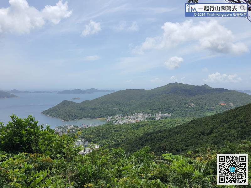 35︰沿清晰山徑行,去到有一小片泥地的位置,
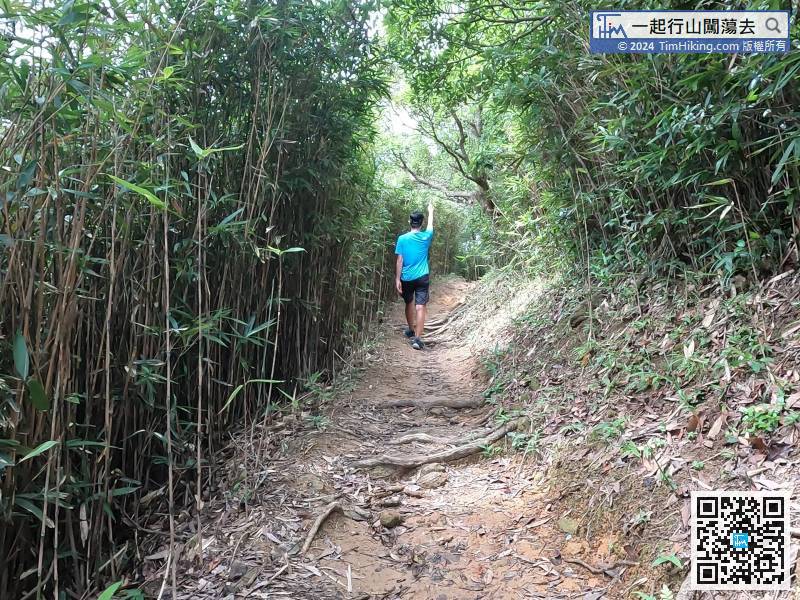
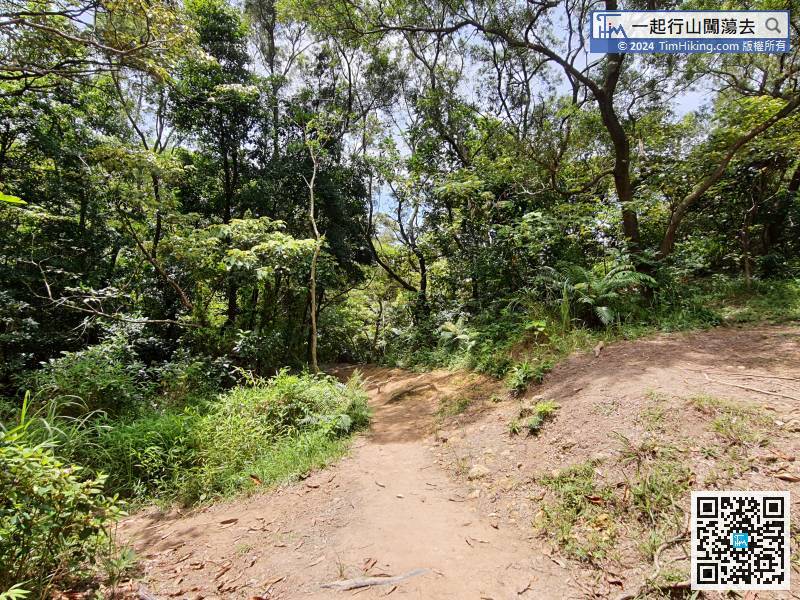
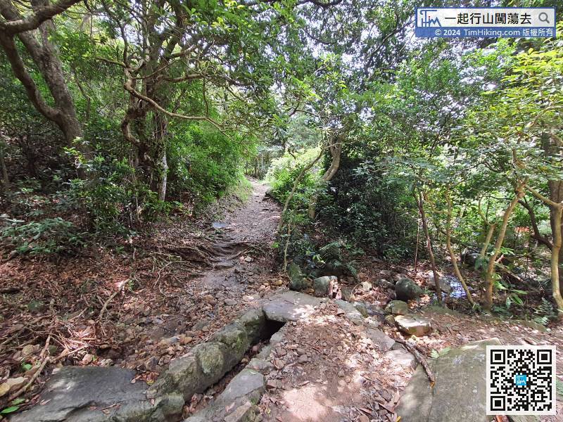
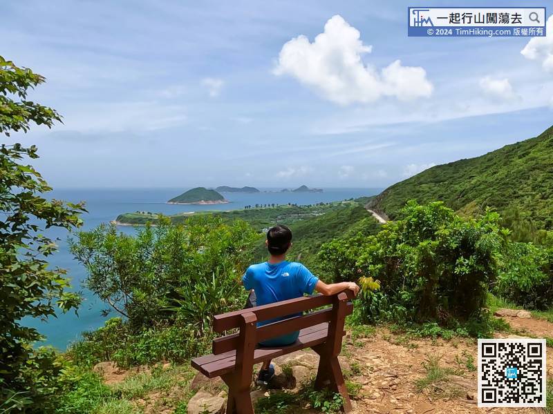
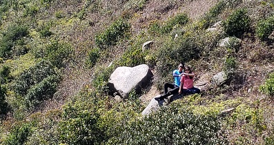
 72︰在長木櫈的位置,不妨先小休片刻,
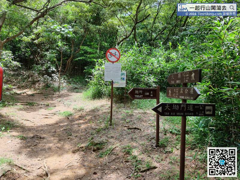 82︰近山頂的位置,
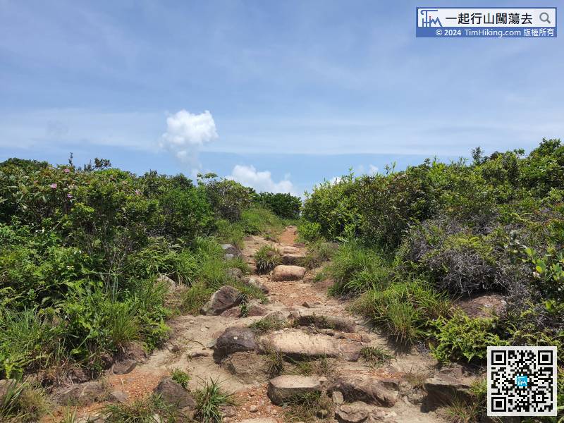
官方路線地圖

 釣魚翁郊遊徑
| 景觀︰ | | ||
| 難度︰ | | ||
(蝦山篤退出) | |||
| 路線︰ | |||
| 全長︰ | 6.3公里 | 需時︰ | 3小時 |
| |
| 攀升︰434米 | 下降︰520米 |
| 最高︰248米 | 最低︰49米 |
| (海拔高度值只供參考 誤差約是30米內) | |
7︰在第一個分叉路口要轉左, 26︰在中途,左邊可望到布袋澳, 35︰沿清晰山徑行,去到有一小片泥地的位置, 72︰在長木櫈的位置,不妨先小休片刻, 82︰近山頂的位置,
| bigbear : | 上星期依足行咗次,尾段風景果然好靚,去埋大廟打卡。希望遲啲冇咁熱可以上埋田下山就好嘞。感謝Tim蛇哩條線非常詳盡介紹。 (2022-07-01) |
這條路線好快就會拍片,等天氣好一點就會去!😄 (Tim Sir 2022-07-02) |
| cb_0208 : | tim sir你好!第一次係度留言 每次都跟住你的路線行 好清楚同詳細😃👏🏻多謝你的分享,琴日行喱條路線時見到兩條大網蛇 在圖39位置個度😰 (2022-05-10) |
哈哈!行得山多,終遇蛇。不過不是Tim蛇,而是大網蛇。😄 (Tim Sir 2022-05-10) |
| Carmen : | 請問嗰個釣魚翁雕塑咪要喺蝦山篤落山先見到的?如果去大廟一路行到布袋澳是否看不到到那釣魚翁雕塑呢?謝謝你🙏 (2022-04-23) |
是,直去布袋澳是見到不的。 (Tim Sir 2022-04-23) |
| Catmeme : | Tim sir你好!🙂我想請問:如果不打算在蝦山篤徹離,是想走畢全程的話,在圖43是否向大廟指示牌方向行 就可以上到田下山呢? (2021-10-15) |
第一,直去到尾就是大廟;第二,要上田下山,要在圖53的位置經右邊的荒徑上山。 (Tim Sir 2021-10-15) |
| Iris : |  謝謝你!今早跟着你的介紹去行,好開心,成功了!沒走錯路,皆因你詳細描述和相片指示,還有重要的提示。例如:「全部都是向大廟方向行」、「主要行主徑,不要走其他支路」。今早只行到蝦山篤就落大坳門道走,已計劃下星期六再行一次全程的,布袋澳為終點。 (2021-07-31) |
GOOD! Happy Hiking! 😉 (Tim Sir 2021-07-31) |
| Alick Tong : |  釣魚翁像新張相係咁㗎可唔可以update返?😀 (2021-04-06) |
 圖44一早已經更新了,2014年的舊像是靚一點的,可以比較一下。不過,地圖告示牌就拆後了。 (Tim Sir 2021-04-06) |
| Macy : | 請問從五塊田至蝦仔篤需時多久? (2020-10-27) |
2小時+ (Tim Sir 2020-10-27) |
| KEIKO JOEY : | 請問在蝦山篤離開行去大坳門道就有車可以返出去?謝謝! (2020-04-27) |
有巴士、小巴。 (Tim Sir 2020-04-27) |


