


 Recommend YouTube


| View : |  | ||
| Difficulty : |  | ||
| Path : | |||
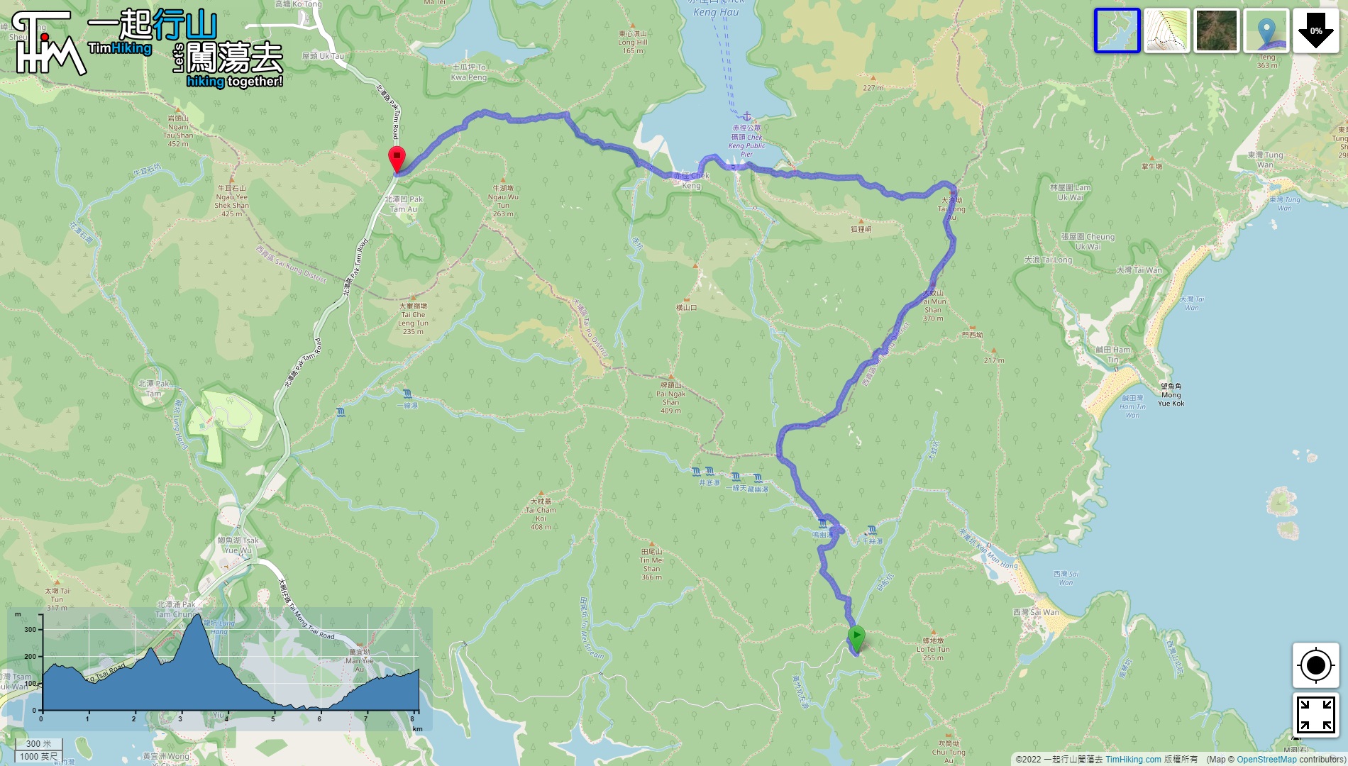
| Length : | 8.2km | ||
| Time : | 4hours | ||
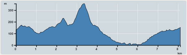 | |
| Ascent : 600m | Descent : 599m |
| Max : 356m | Min : 0m |
| (The accuracy of elevation is +/-30m) | |


 7︰and then connect to a relatively flat mountain trail in about two minutes.
 14︰and come to an important fork. Go straight to the embankment at the top of Tsin Sze Fall,
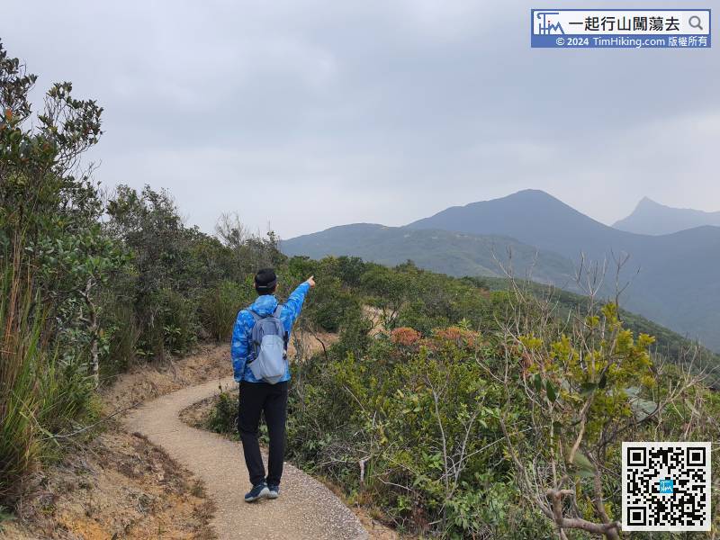
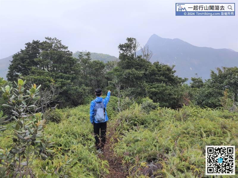
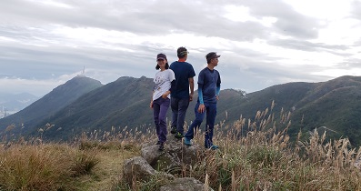
The target Tai Mun Shan is very clear. It is just in front of Sharp Peak, the top of the mountain is oblate.
24︰Cross the Sheung Luk Stream, step on the steps on the opposite bank.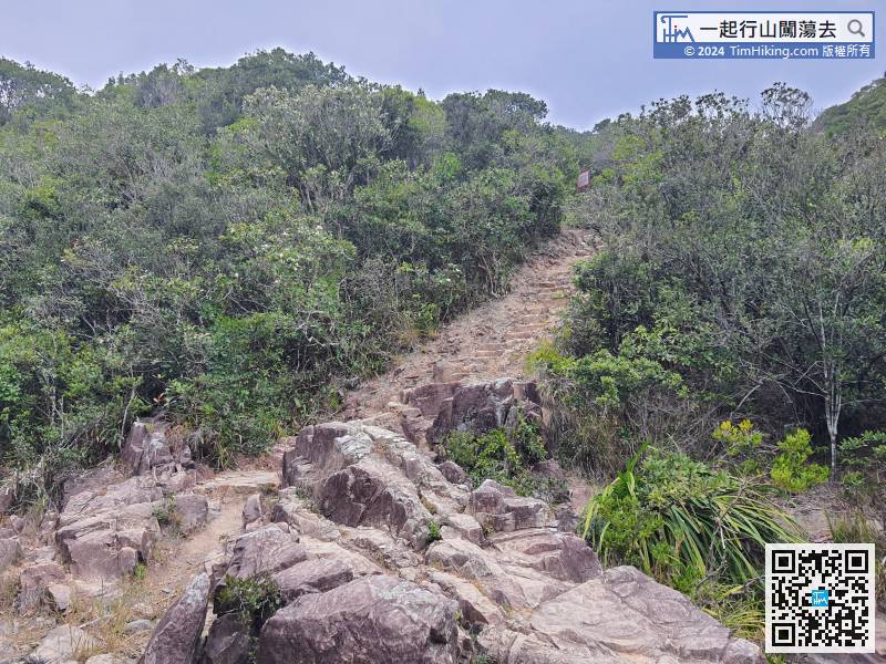
Cross the Sheung Luk Stream, step on the steps on the opposite bank.
42︰Hikers may encounter many unknown forks on the way. Pay attention to Tai Mun Shan. In the direction of the ribbon, do not blindly follow the ribbon,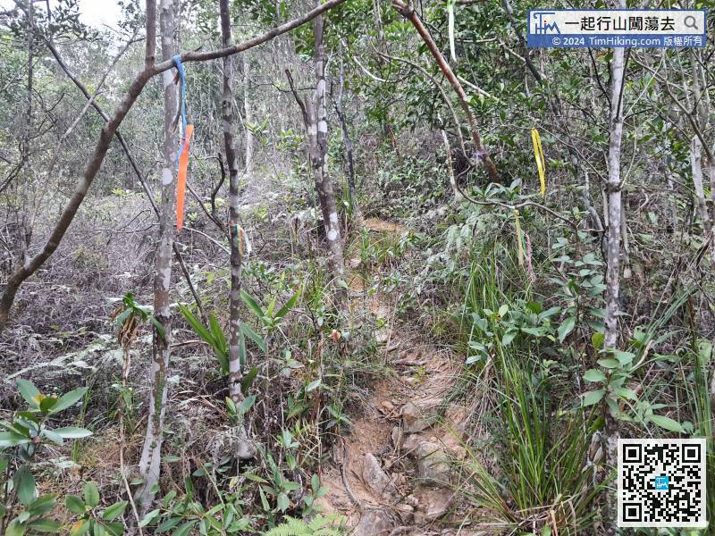 51︰After entering the forest, there are many unidentified bifurcated roads.
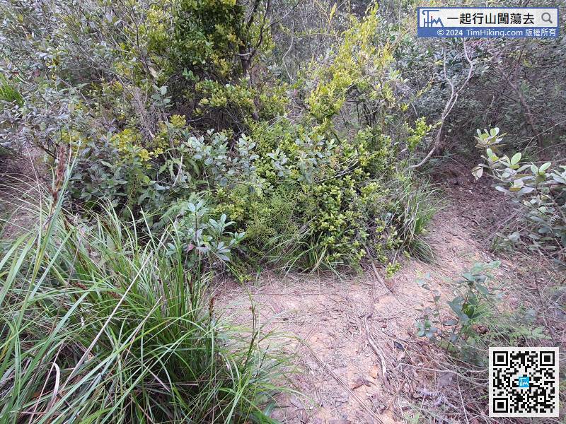
After entering the forest, there are many unidentified bifurcated roads.
66︰The intersection that goes down the mountain is on the opposite side,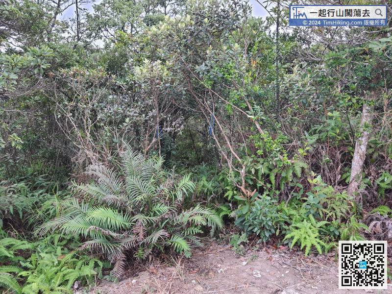
Before leaving, pay attention to the intersection going up the mountain.
After a moment, will come to the fork to Wong Shek Pier. It will be easier to get on the bus at Wong Shek Pier on holidays, the distance is about 2.5km.


