


 Recommend YouTube

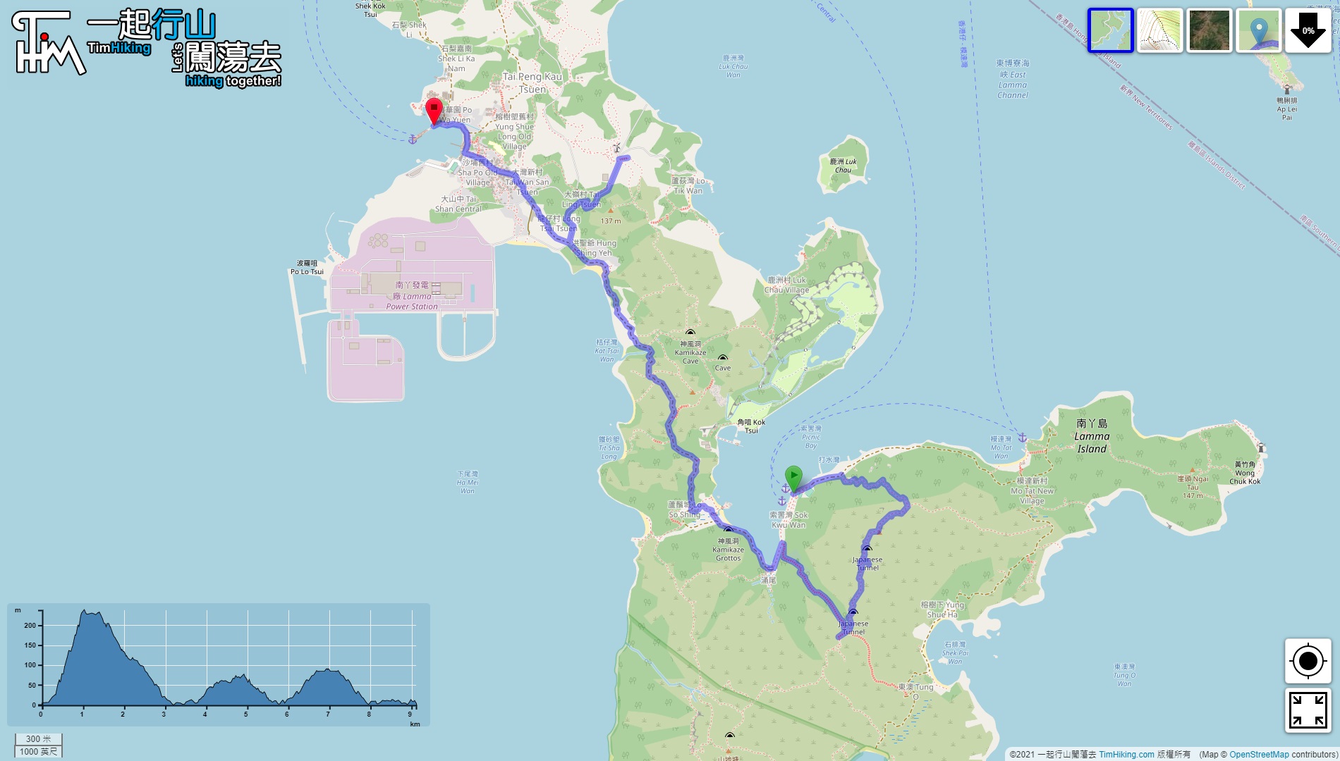


| View : |  | ||
| Difficulty : |  | ||
| Path : | |||
| Length : | 9.2km | ||
| Time : | 5½hours | ||
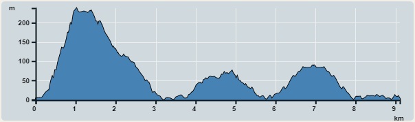 | |
| Ascent : 567m | Descent : 569m |
| Max : 238m | Min : 0m |
| (The accuracy of elevation is +/-30m) | |


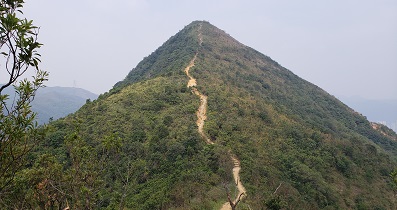
 14︰The climbing section only takes about 30 minutes to reach the top, which is much faster than the Official Trail.
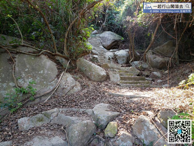
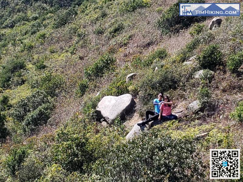
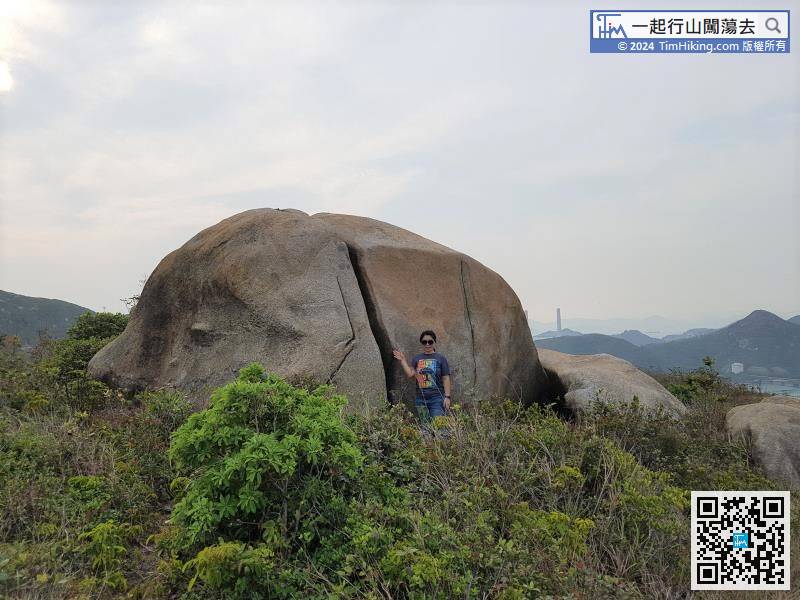
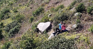
Actually, this barren trail is very easy to walk, not like a barren trail,
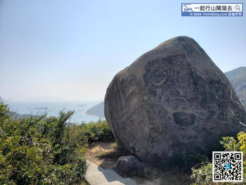
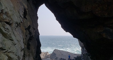
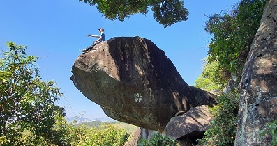
23︰just walk carefully over and shoot at a long distance.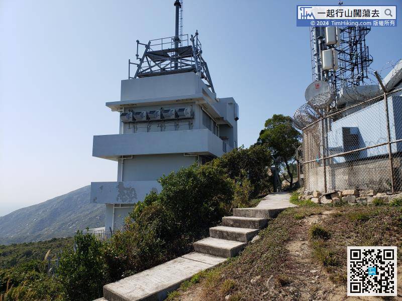
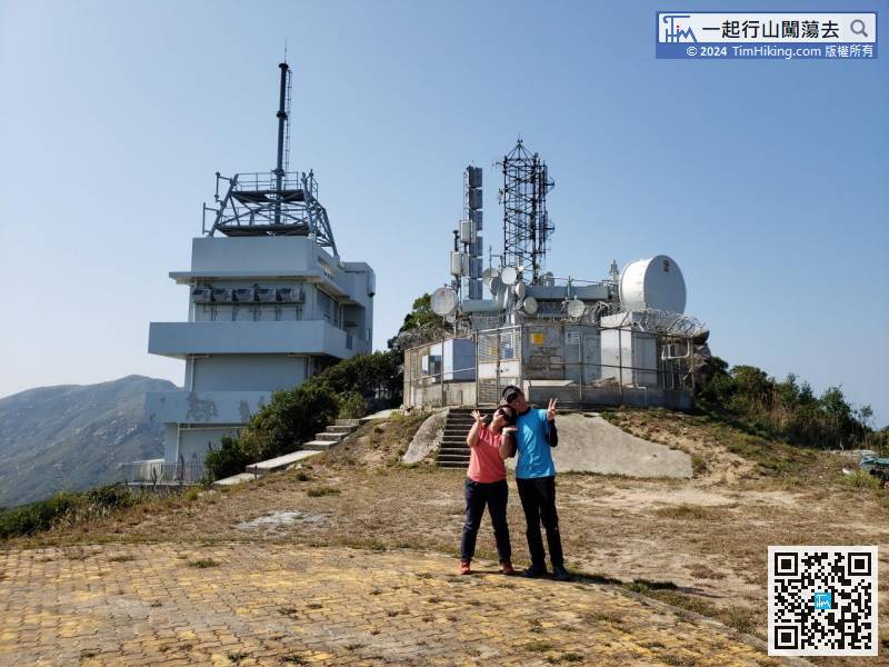
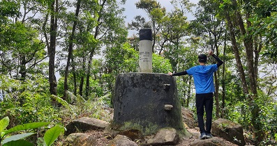
Leave from the left-hand side of the Radio Station, connect to the official mountain trail and continue.
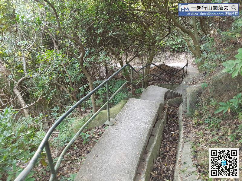
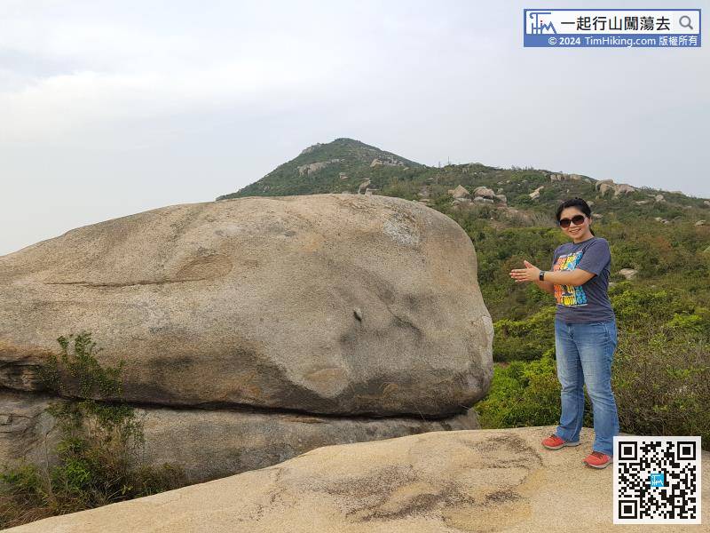
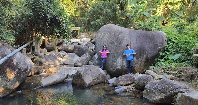
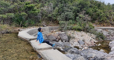
After playing with the rocks, return to the intersection just passed, follow the stairs on the left side of the mountain,
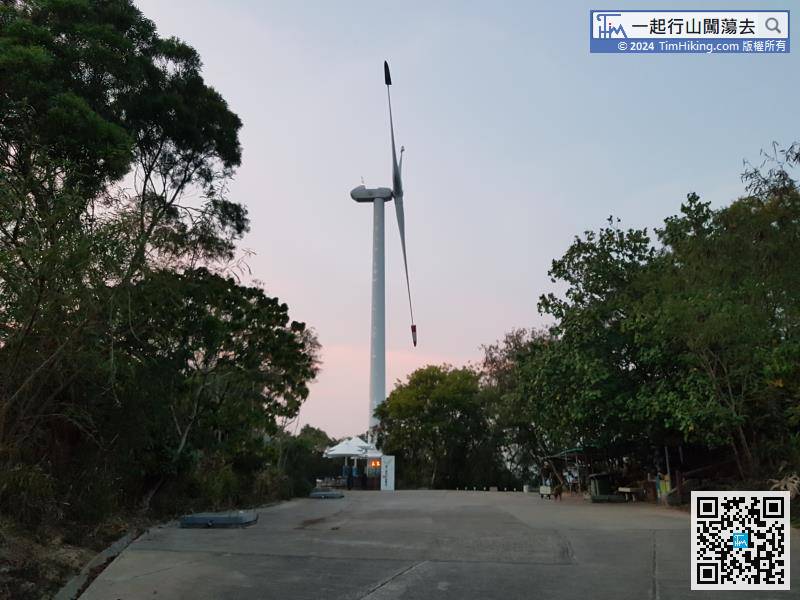
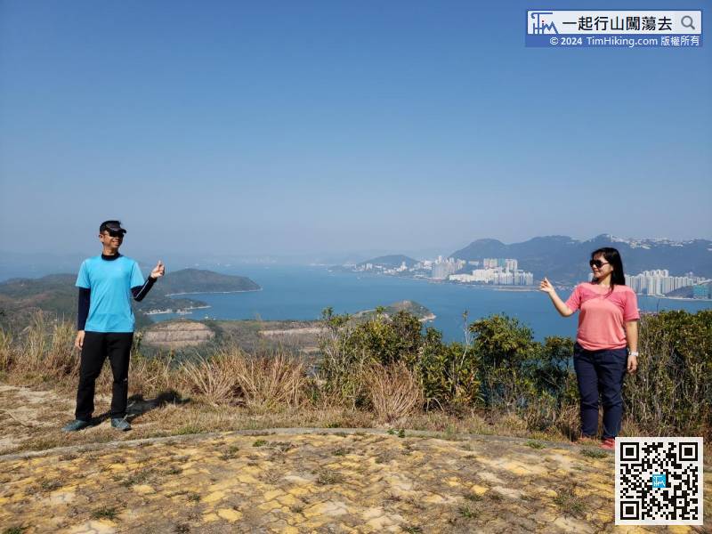
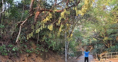
To go to Lamma Winds, go straight up the slope, and walk for about 10 minutes to reach Lamma Winds.


