


 Recommend YouTube


| View : |  | ||
| Difficulty : |  | ||
| Path : | |||
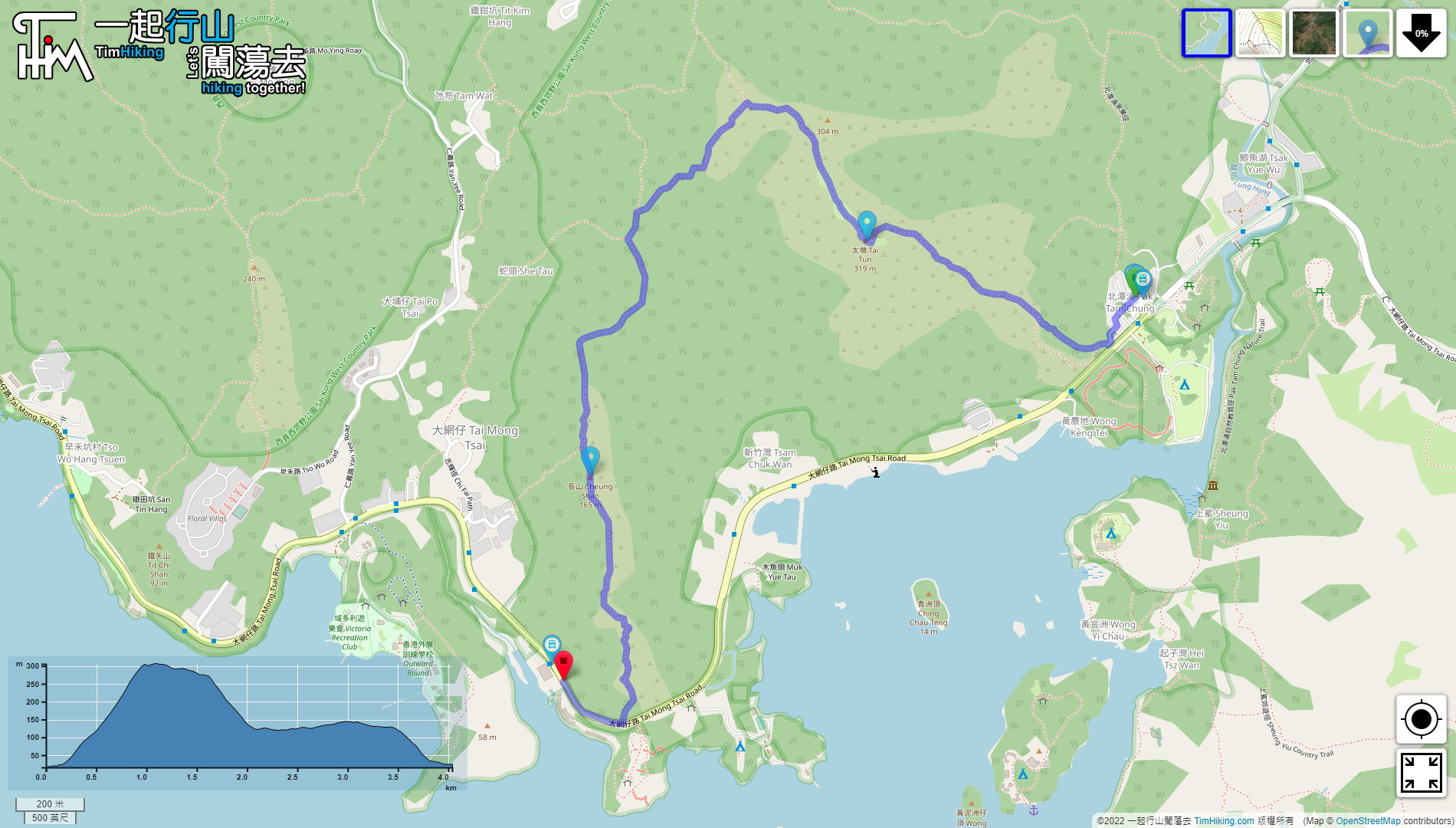
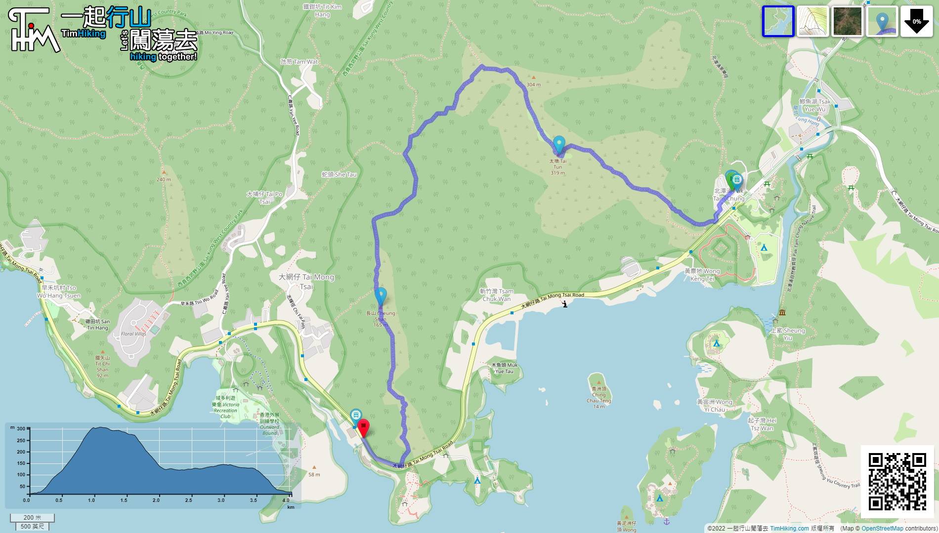
| Length : | 4.1km | ||
| Time : | 2½hours | ||
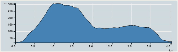 | |
| Ascent : 368m | Descent : 350m |
| Max : 306m | Min : 14m |
| (The accuracy of elevation is +/-30m) | |


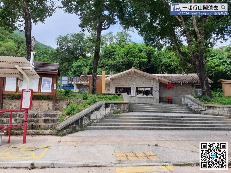
First, take any transport to Pak Tam Chung, there are buses and minibuses in Sai Kung, and there are also buses from Diamond Hill during the holiday.
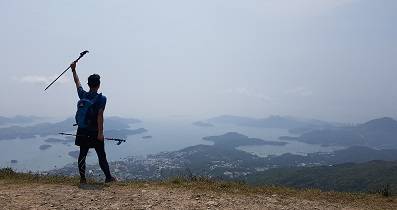
 7︰The mountain trail is still barren trail, just the same as five years ago, the difference is much clearer. There are many hikers to visit.
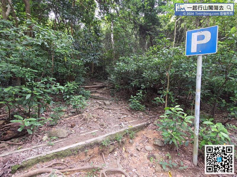
The mountain trail is still barren trail, just the same as five years ago, the difference is much clearer. There are many hikers to visit.
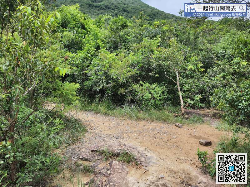
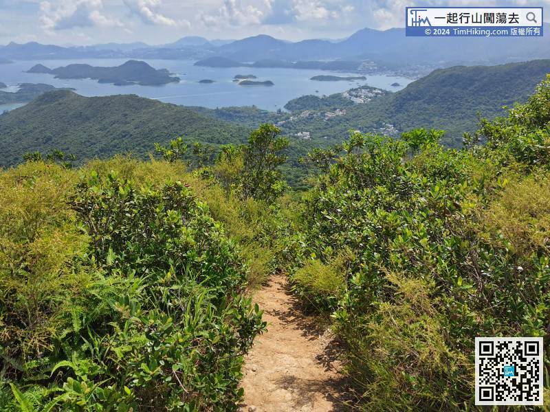
When reaching a suspected fork, keep on the left and follow the direction of the top of the mountain.
There are not many places to rest under the shade of trees, so pay attention to whether your physical strength can handle it, especially in summer.
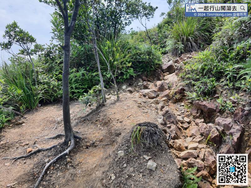
30︰After a break, leave from the other end,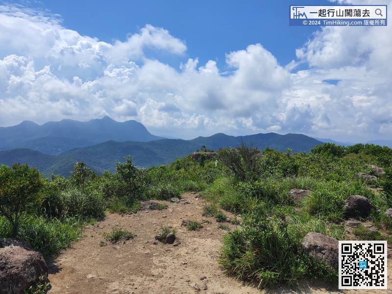 40︰When approaching the top of a small hill, be careful not to go straight.
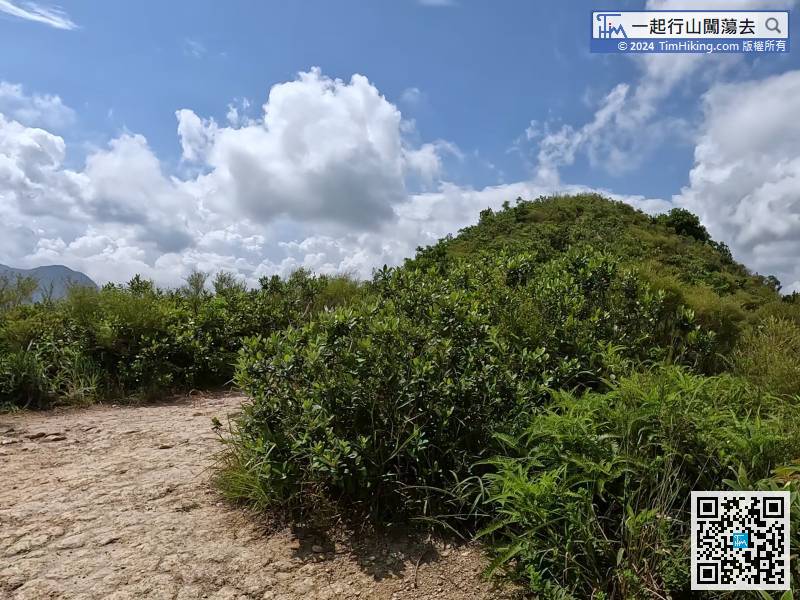
This route is to turn left in front of the small hill and go down the mountain in the direction of Cheung Shan.
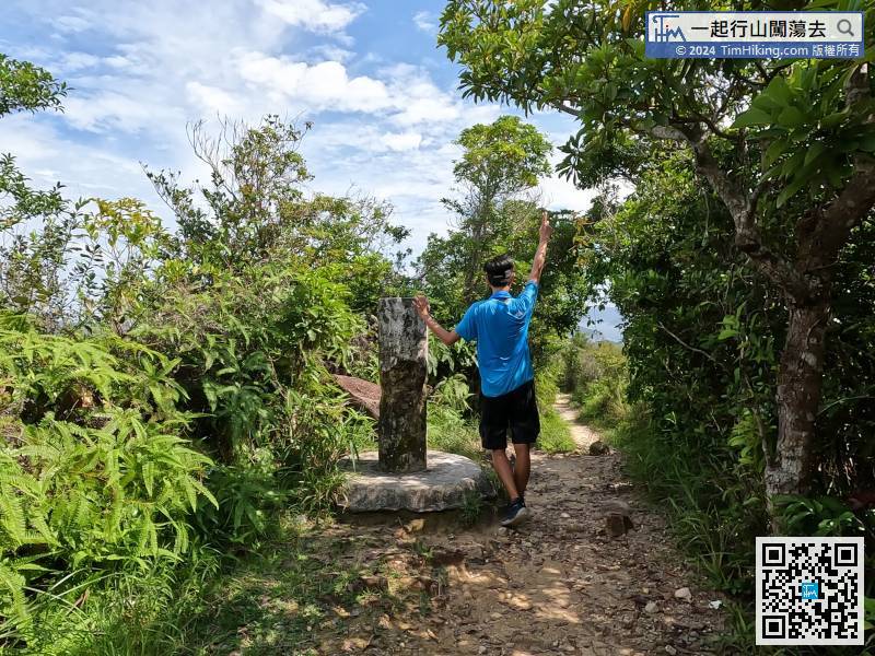
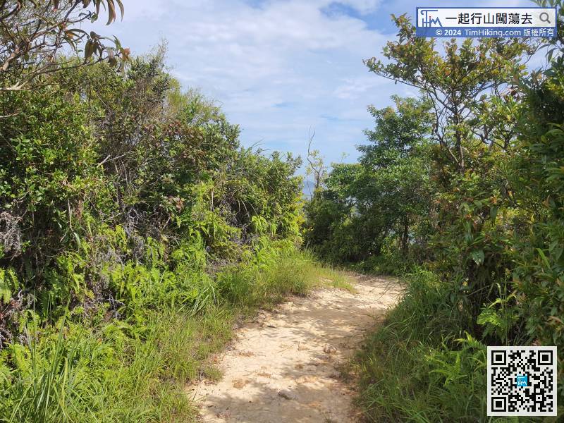
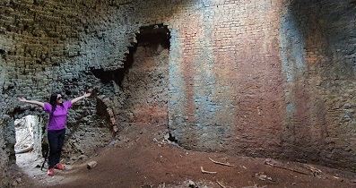
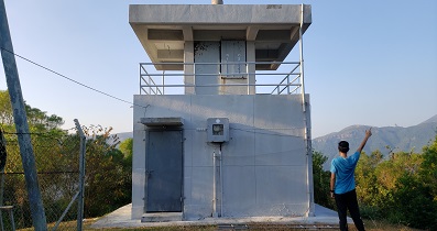
57︰you can connect to the official trail.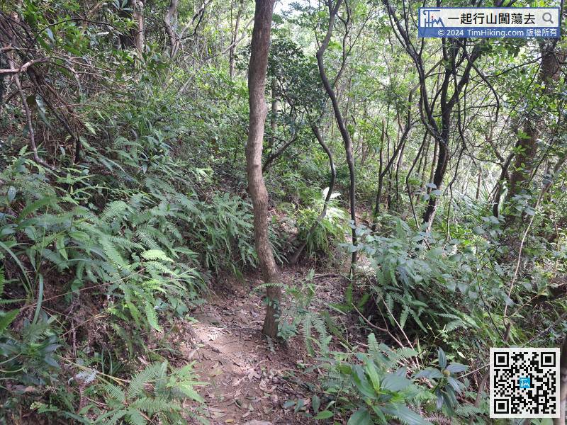 66︰A few minutes later, will see the old Trigonometrical Station of Cheung Shan. This Trigonometrical Station has been abandoned, it will only get worse and worse, and will not be repaired.
A few minutes later, will see the old Trigonometrical Station of Cheung Shan. This Trigonometrical Station has been abandoned, it will only get worse and worse, and will not be repaired.


