


 Recommend YouTube


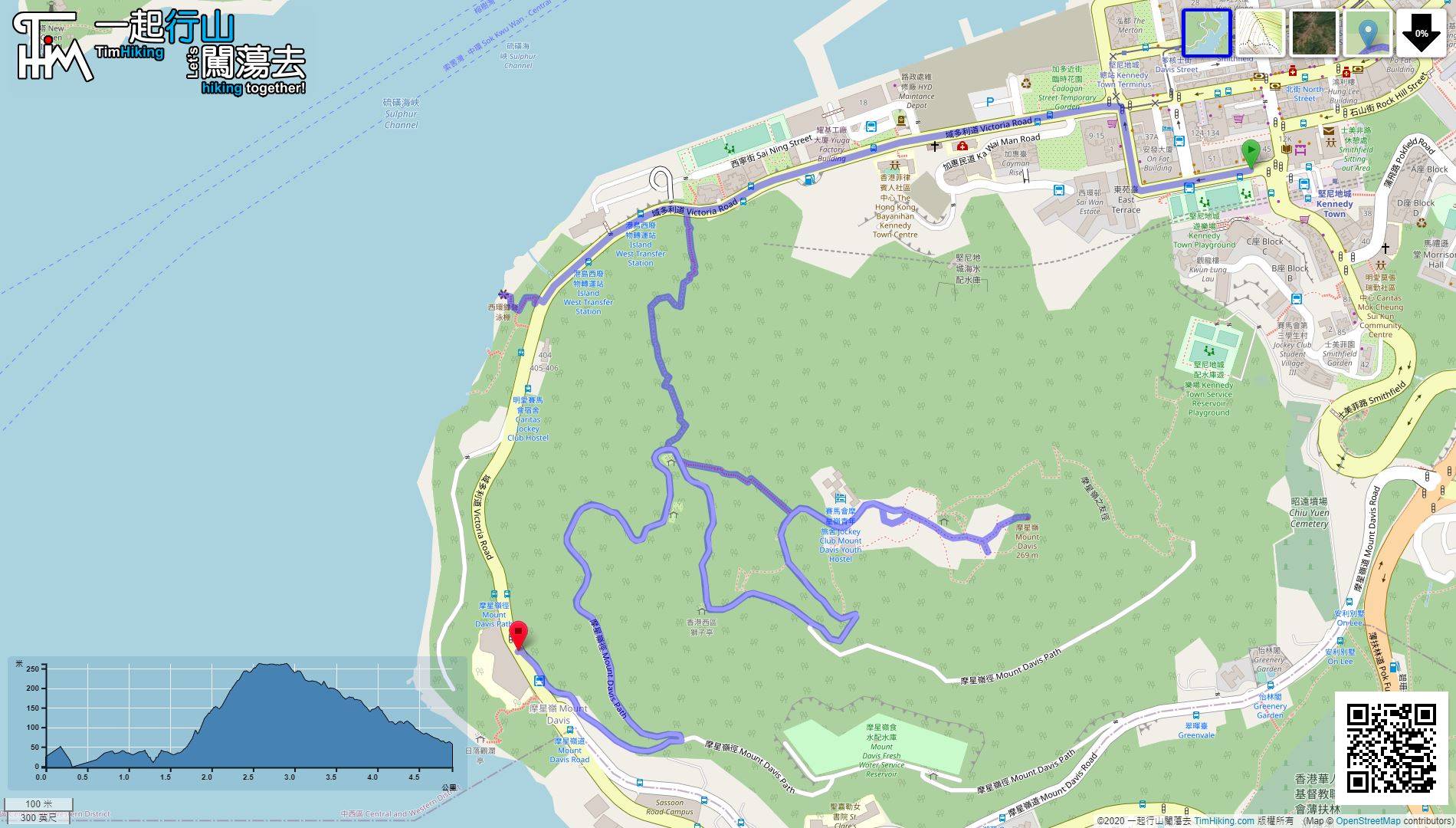
| View : |  | ||
| Difficulty : |  | ||
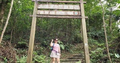
| Path : | |||
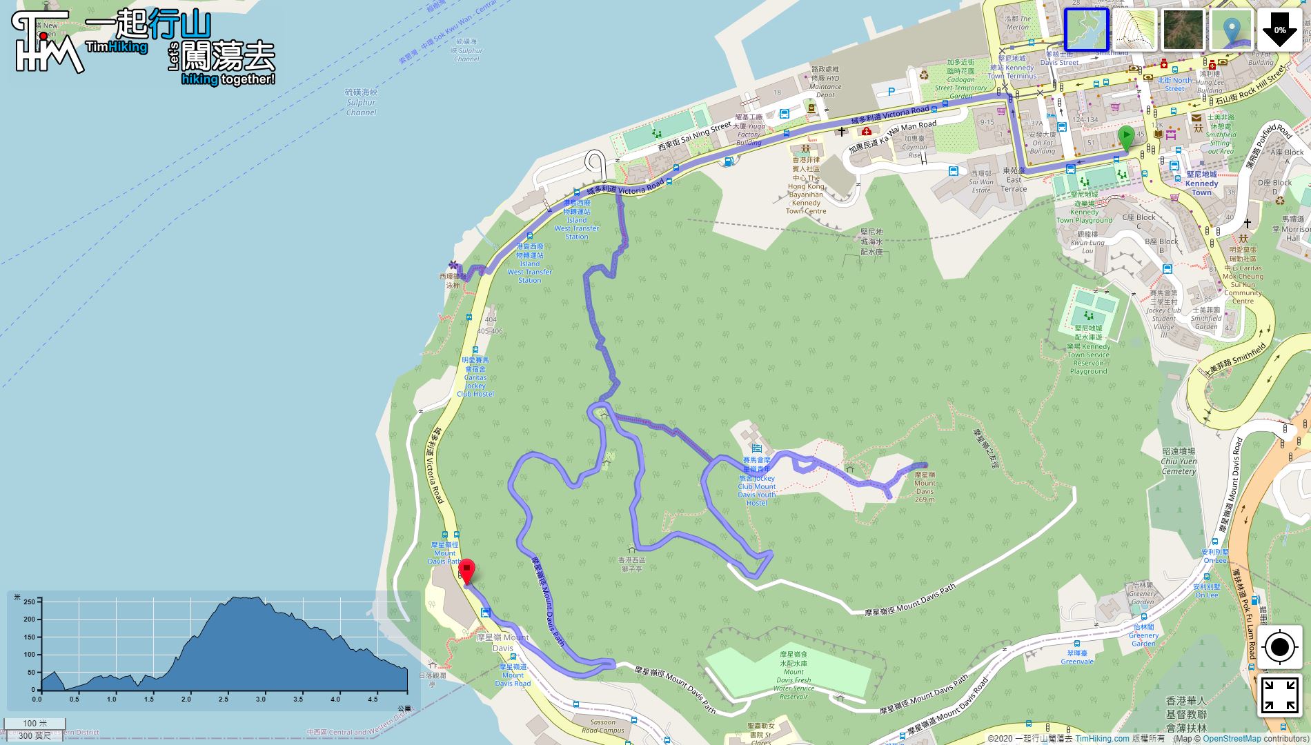
| Length : | 9.7km | ||
| Estimate : | 2hours | ||
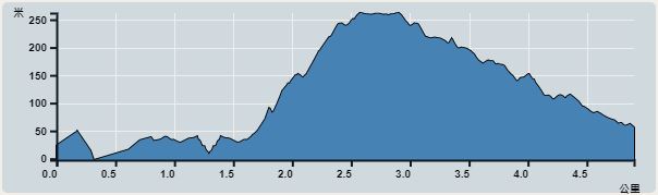 | |
| Ascent : 449m | Descent : 450m |
| Max : 262m | Min : 0m |
| (The accuracy of elevation is +/-30m) | |


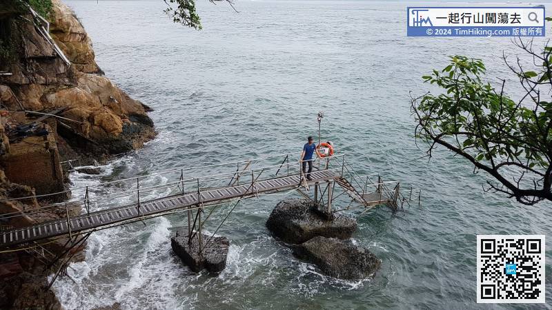
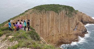
 11︰can try to step out of the swimming shed, the waves were constantly beating, making the plank very slippery, and going step by step.
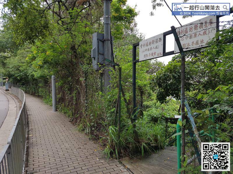
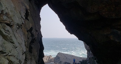
There is an iron gate on the right, which is the stairs leading to Sai Wan Swimming Shed.
24︰Take the clearest stairs to Mount Davis Path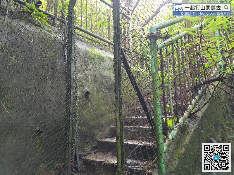
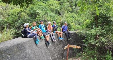
There are a lot of forked roads in the middle, pay attention to walking on wide roads and not on rough roads.
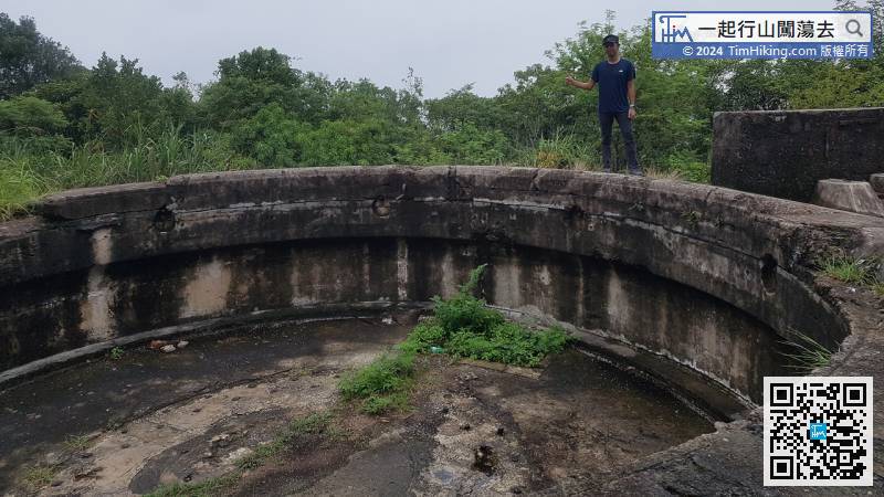
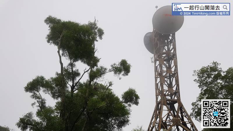
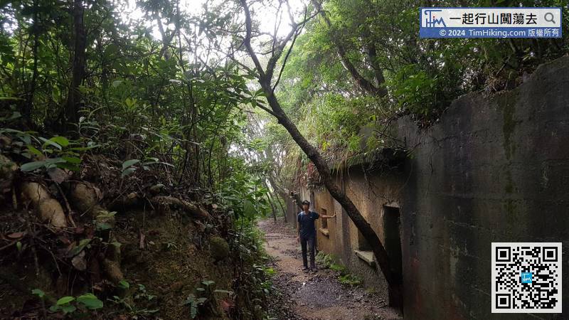
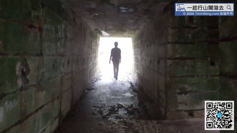
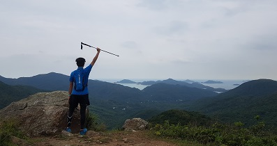
33︰The fort is huge, it looks similar to the fort of Devil's Peak.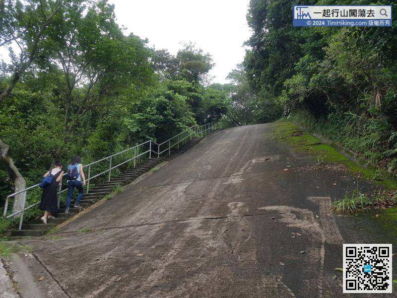


