


 Recommend YouTube

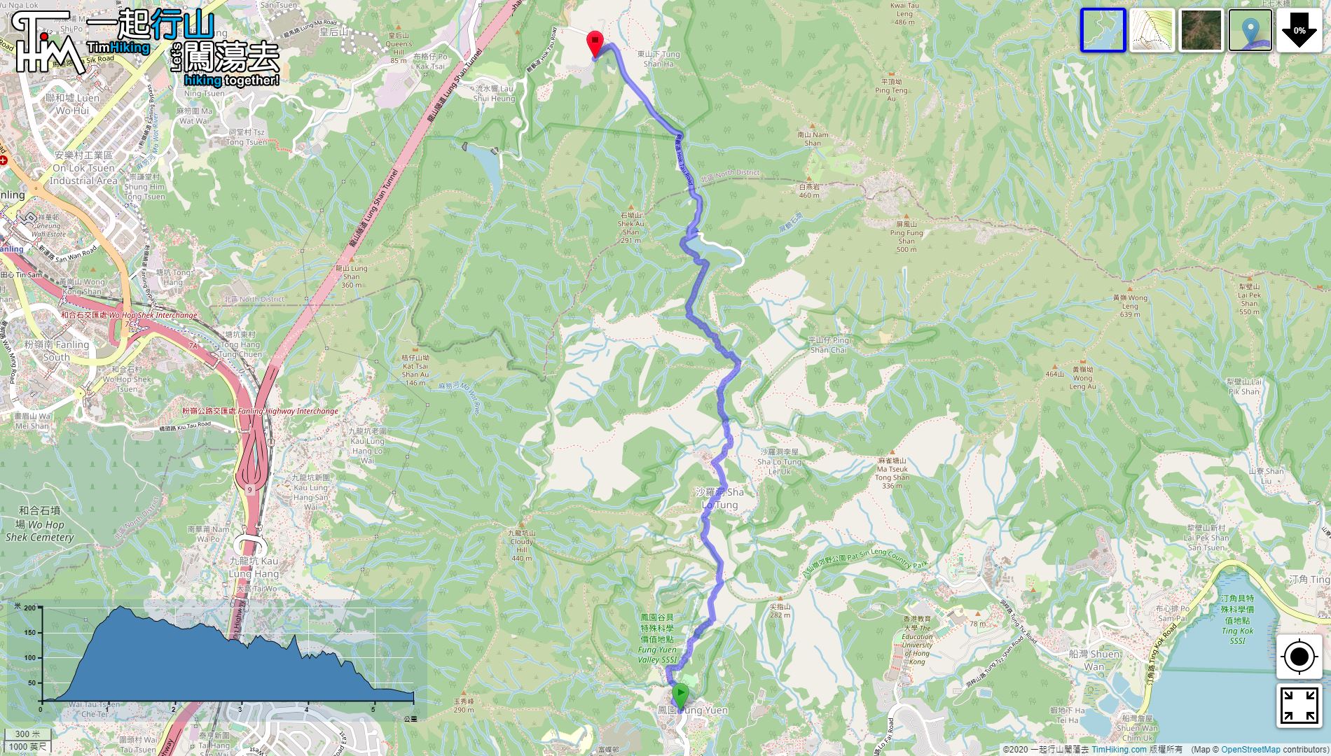

| View : |  | ||
| Difficulty : |  | ||
| Path : | |||
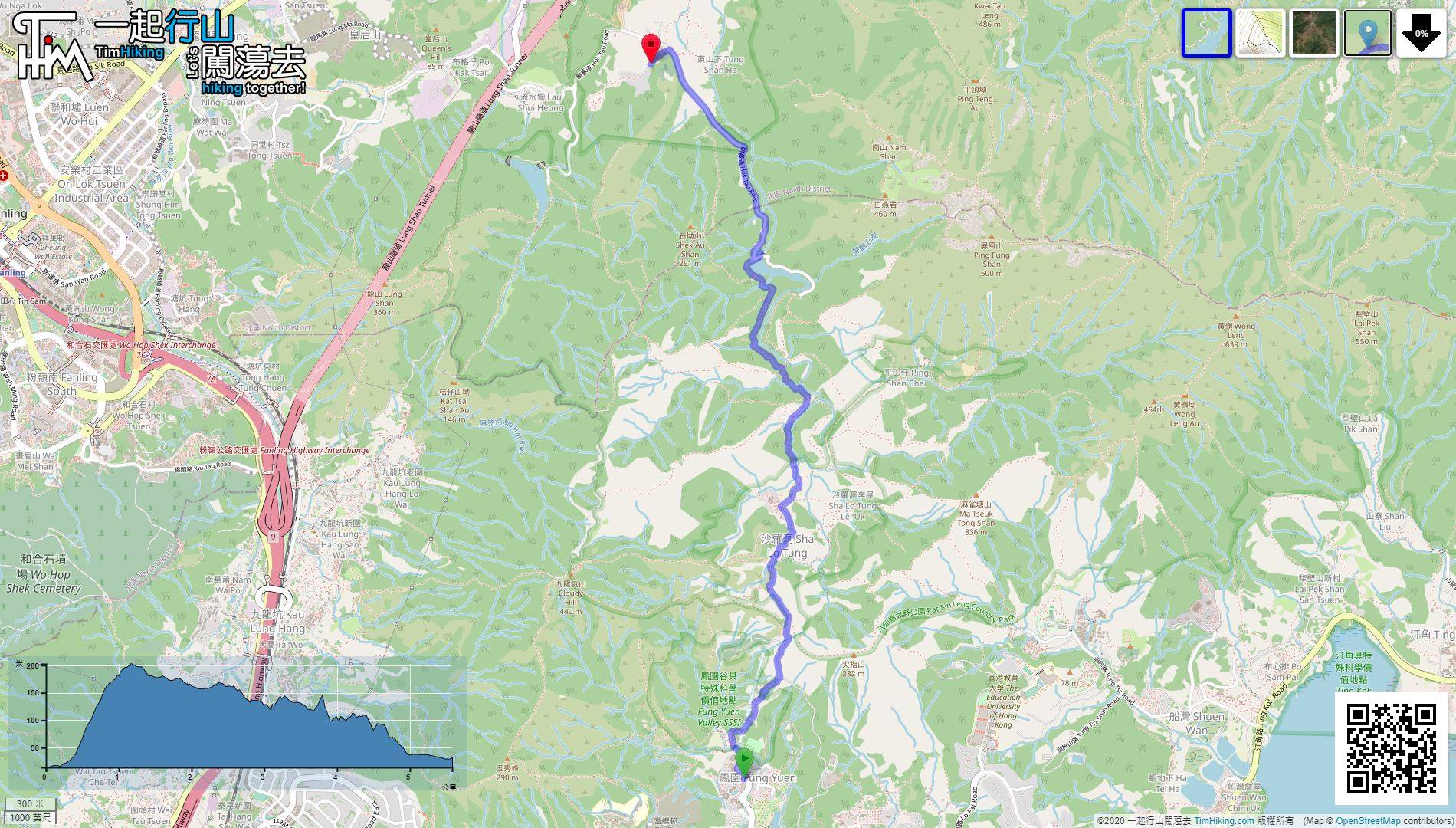
| Length : | 5.6km | ||
| Time : | 2½hours | ||
 | |
| Ascent : 315m | Descent : 288m |
| Max : 203m | Min : 14m |
| (The accuracy of elevation is +/-30m) | |


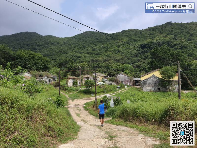
 Sha Lo Tung Tsuen
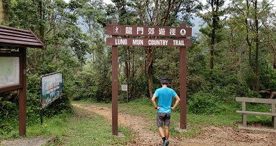
 10︰and follow the signs to Sha Lo Tung Tsuen at the bifurcation.
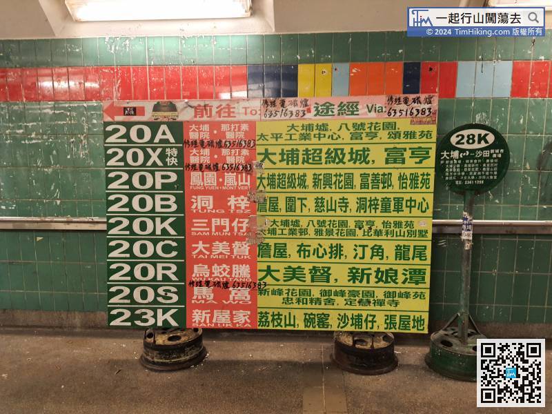
The starting point is at Fung Yuen. Firstly, go to the Tai Po Market station
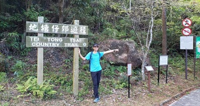
19︰Sha Lo Tung Road is a wide concrete road that is climbing from the foot of the mountain beside Fung Yuen Road, can go straight up to Sha Lo Tung in a sloping concrete road. 31︰will come to Sha Lo Tung Tsuen. The front is Cheung Uk.
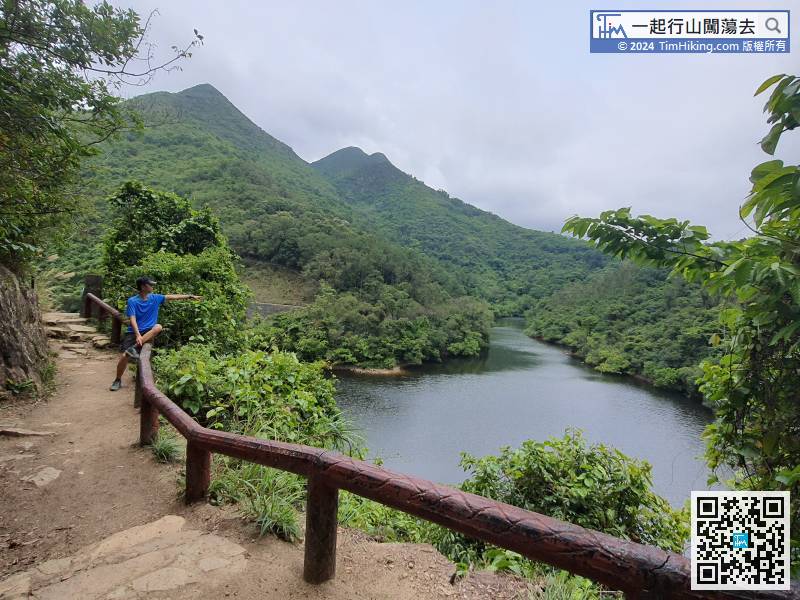
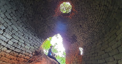
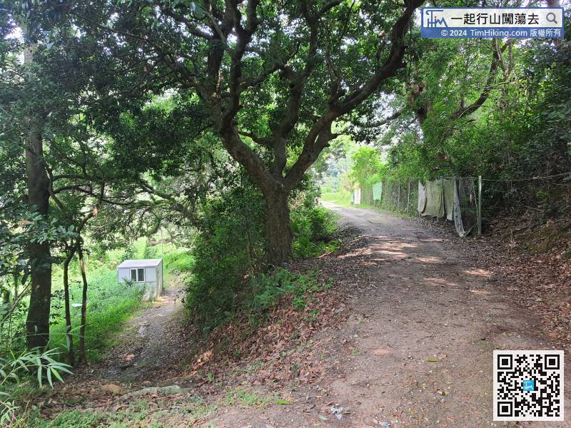 44︰The mountain trail is an ordinary dirt trail,
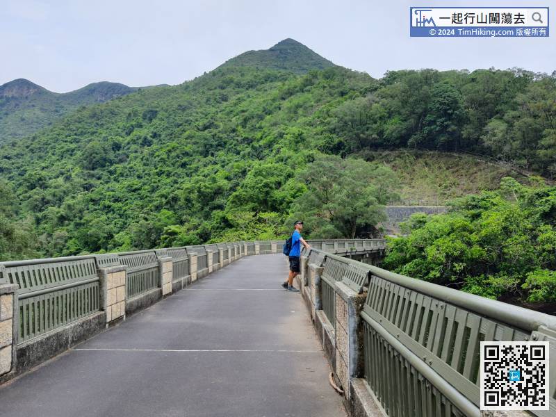
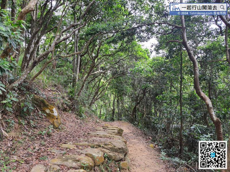 56︰and go to the Hok Tau Reservoir Dam.
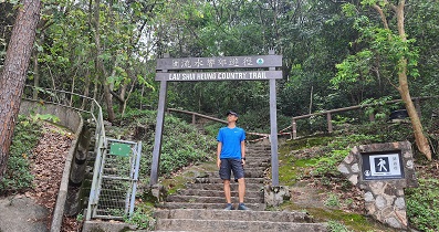
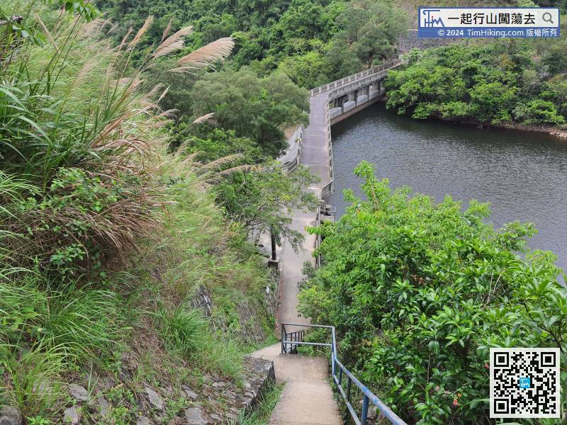


