


 Recommend YouTube


| View : |  | ||
| Difficulty : |  | ||
| Path : | |||
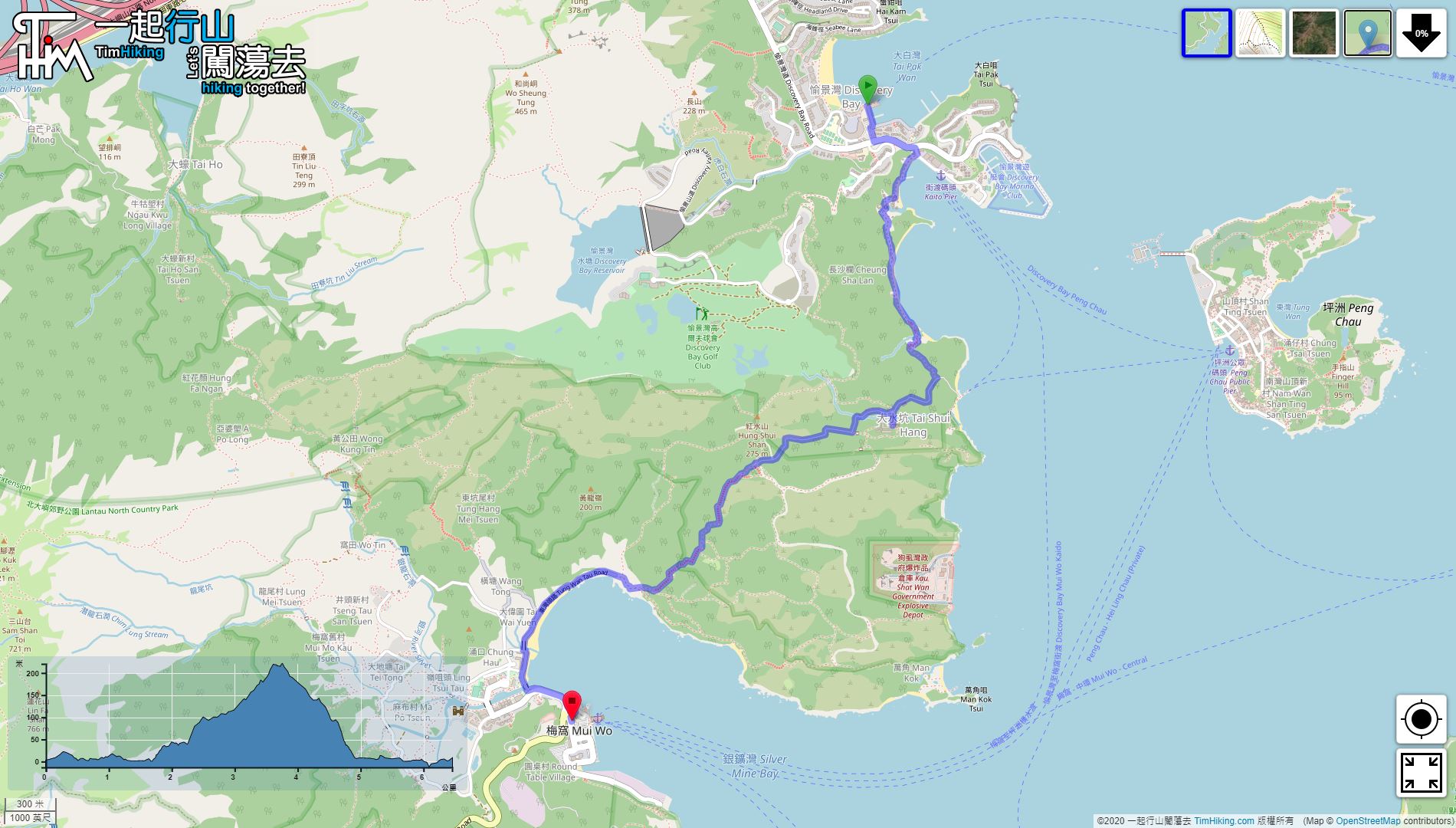
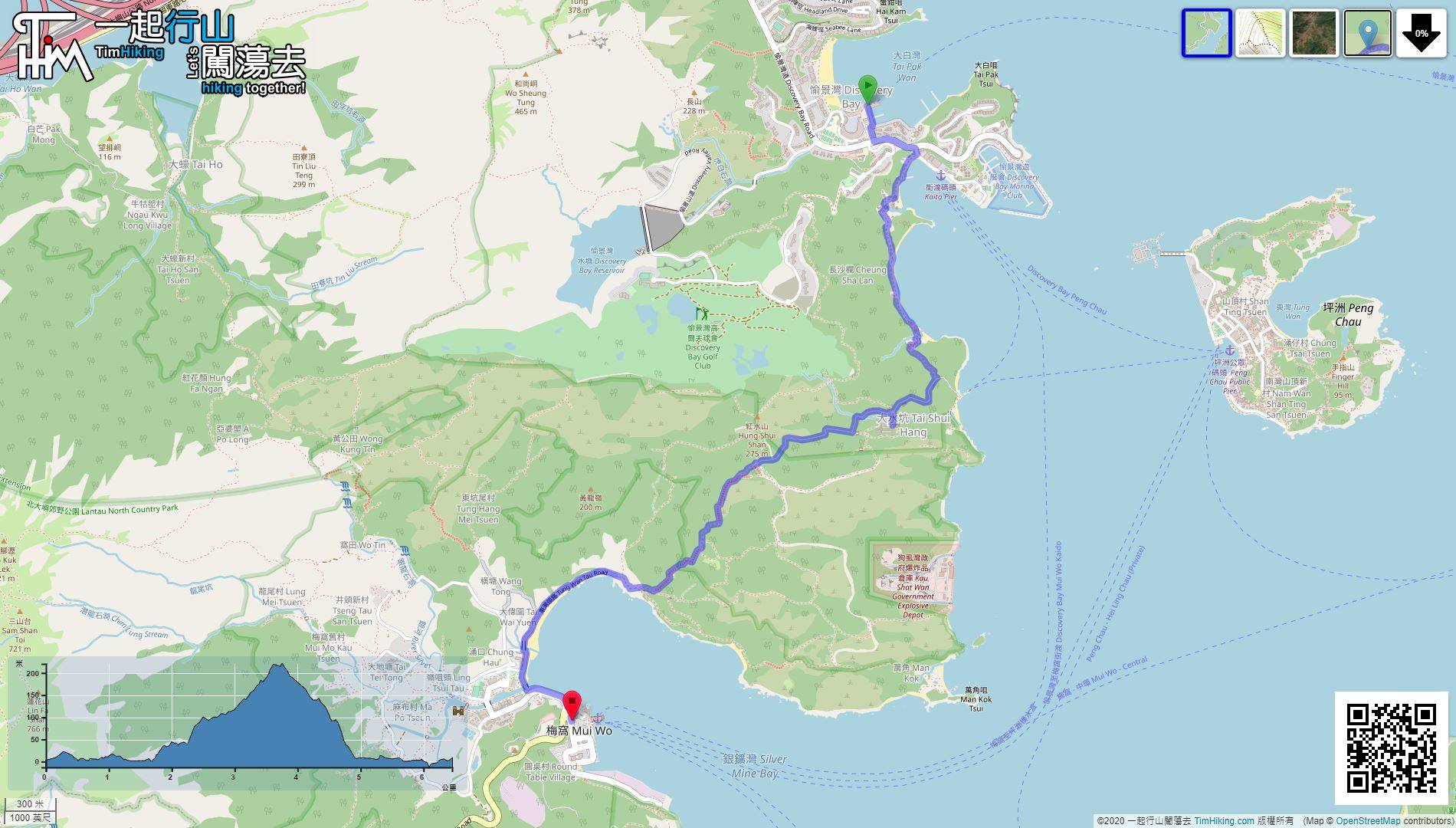
| Length : | 6.5km | ||
| Time : | 2hours | ||
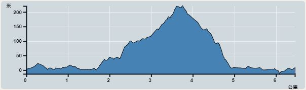 | |
| Ascent : 331m | Descent : 335m |
| Max : 220m | Min : 0m |
| (The accuracy of elevation is +/-30m) | |


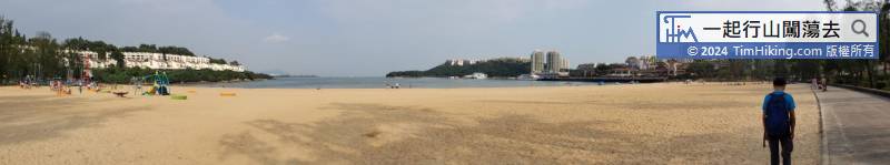
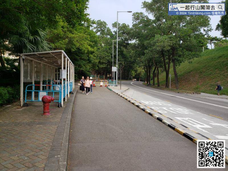
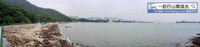
The starting point is Discovery Bay. You can take the Discovery Bay ferry or take the Discovery Bay bus DB03R from Sunny Bay Station to Discovery Bay South.
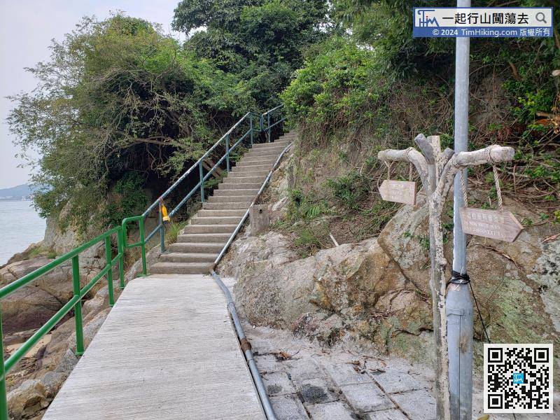
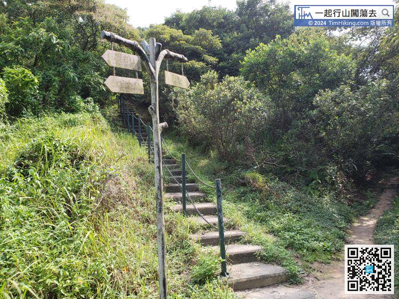
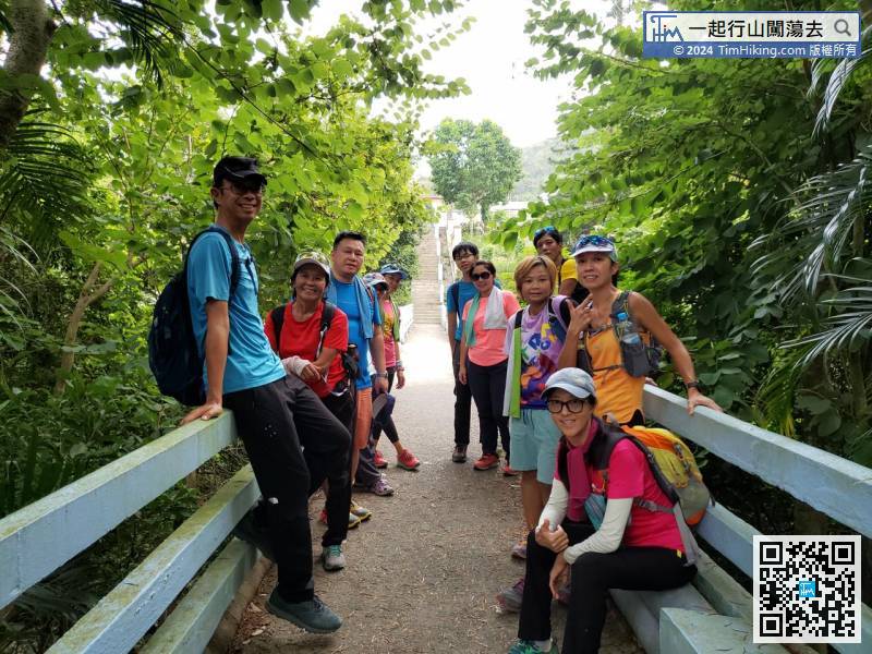
Walking for about 15 minutes, will encounter a bifurcated road, the upper left step is the way to Man Kok Tsui and there is a large pavilion on the top of the mountain. Just go straight on the flat road to reach Mui Wo.


