


 Recommend YouTube


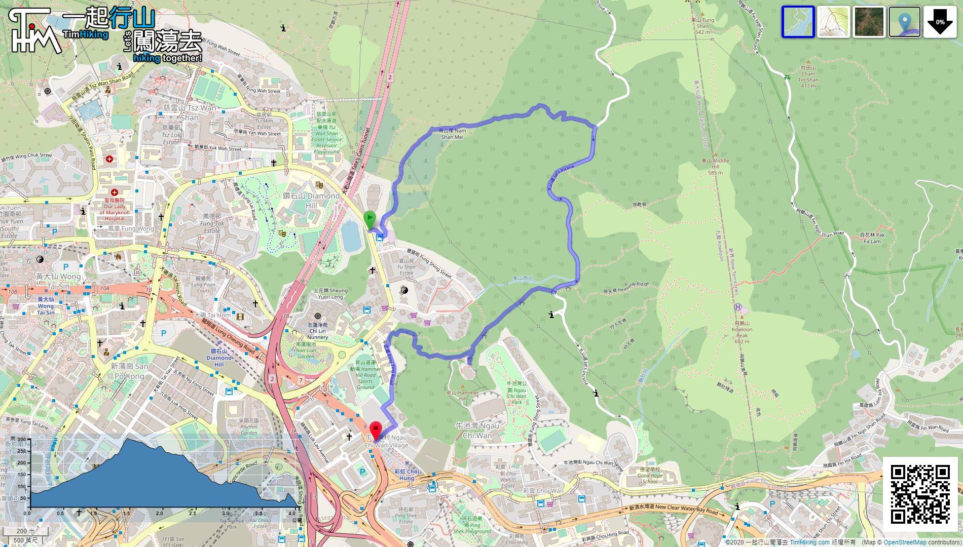
| View : |  | ||
| Difficulty : |  | ||
 (Return at Shark Rock) | |||
| Path : | |||
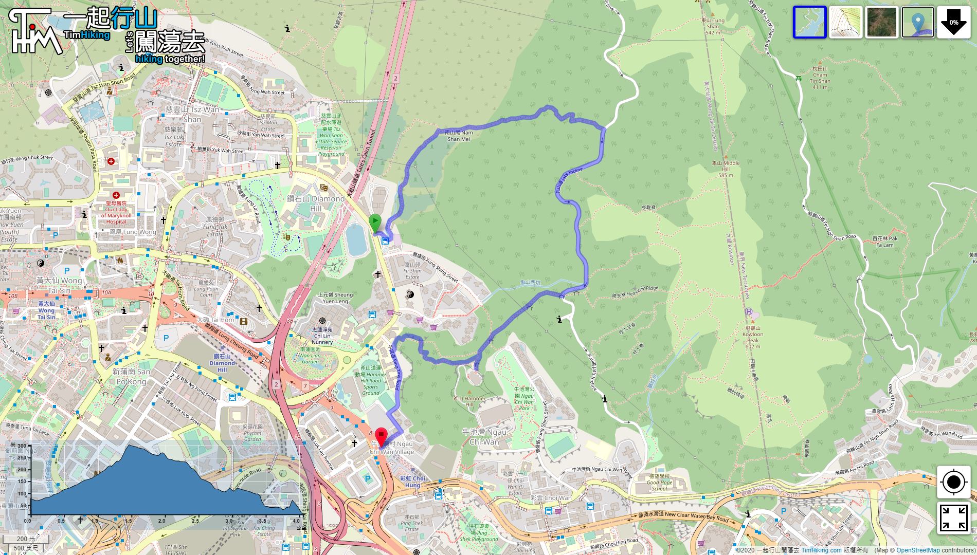
| Length : | 4.1km | ||
| Time : | 2hours | ||
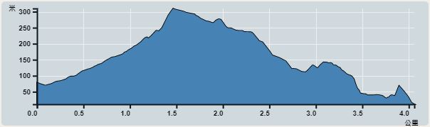 | |
| Ascent : 332m | Descent : 392m |
| Max : 303m | Min : 11m |
| (The accuracy of elevation is +/-30m) | |


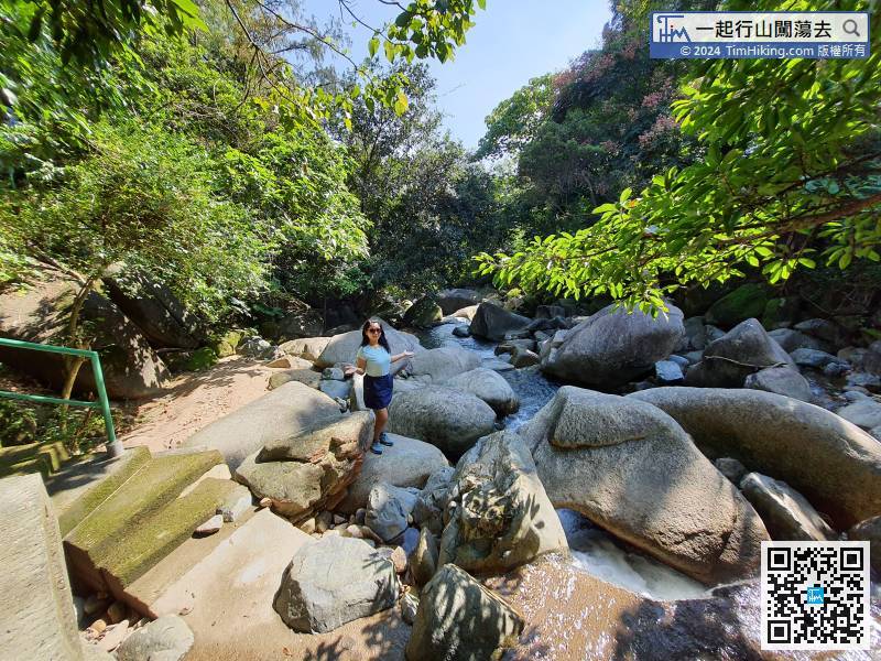
 6︰There is a big stream,
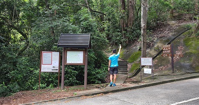
The starting point is near Fu Shan Estate. You can take 19S/19M from Plaza Hollywood, Diamond Hill.
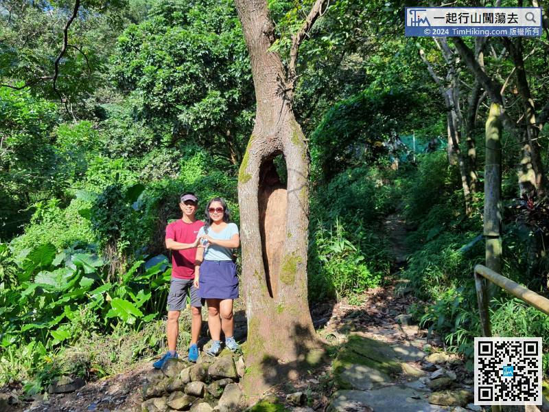
19︰whose trunk is thicker than a person.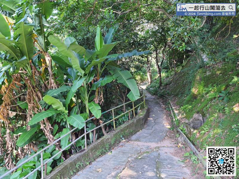
After crossing the cemetery for about 15 minutes, come to Nam Shan Mei and then connect to a trail with a few hikers.
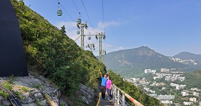
37︰next to the exit is the Lamp Post AF0481.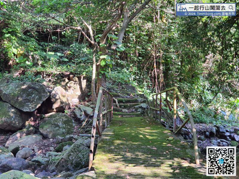
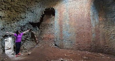
The hikers who choose to go forward, do not cross the bridge
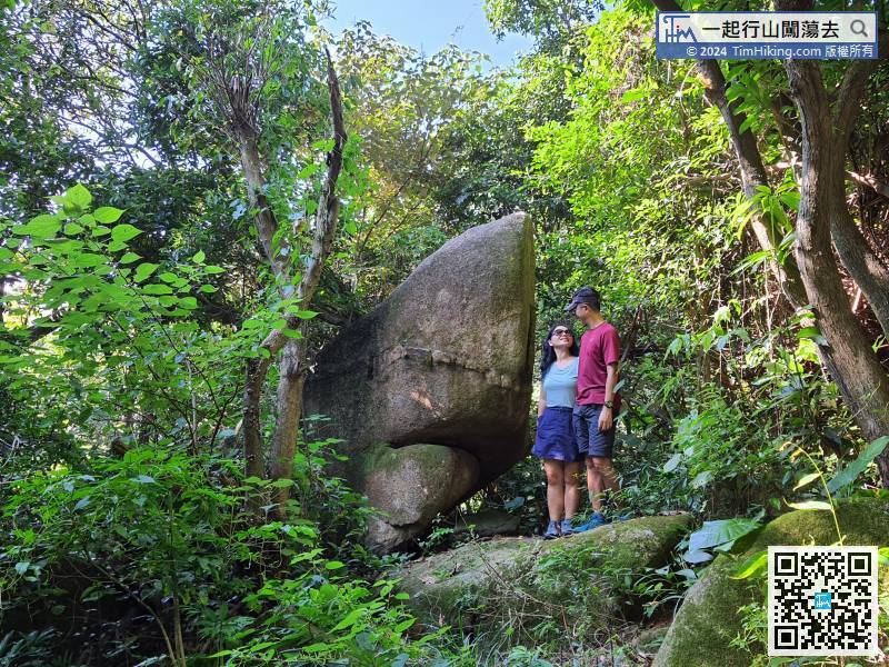
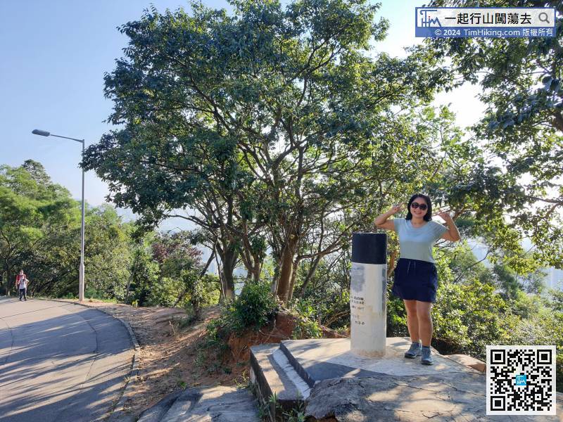
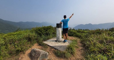
40︰Within 10 minutes, will see Nam Shan's trigonometrical station on the right-hand side of the concrete road.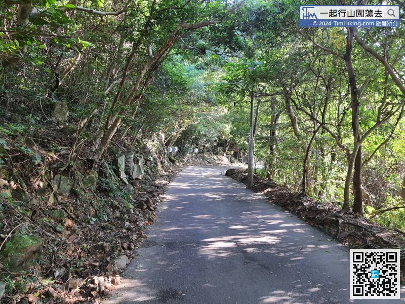 56︰There is a barren trail that goes down the mountain,
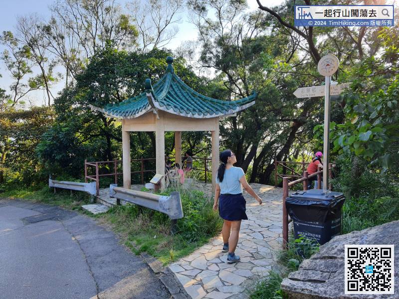
Continue downhill from the right-hand side of the Chinese pavilion,
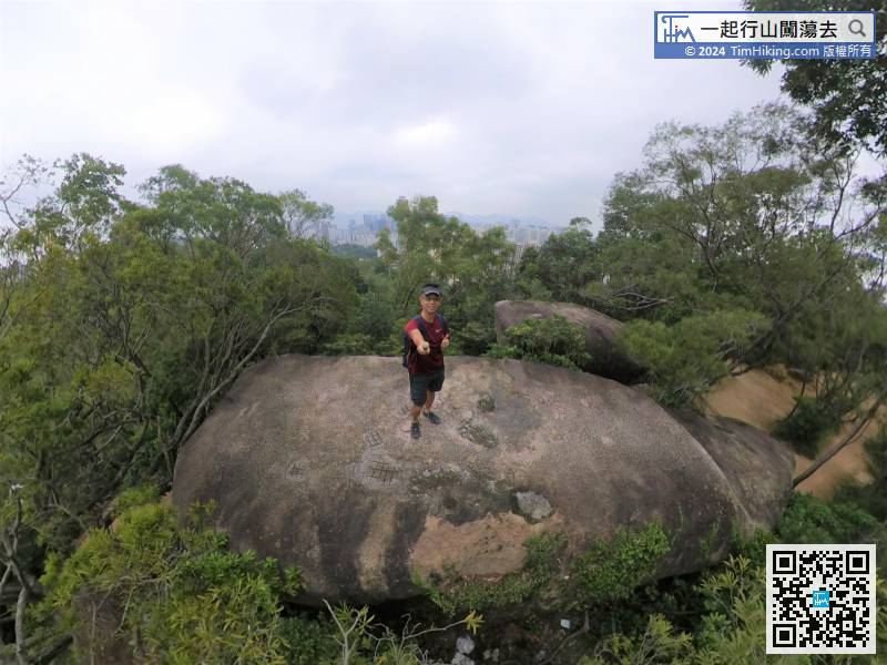
63︰that is also the top of Hammer Hill.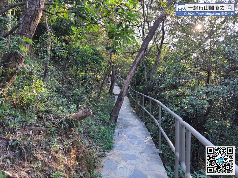
Continue along the magnificent mountain trail.


