


 Recommend YouTube

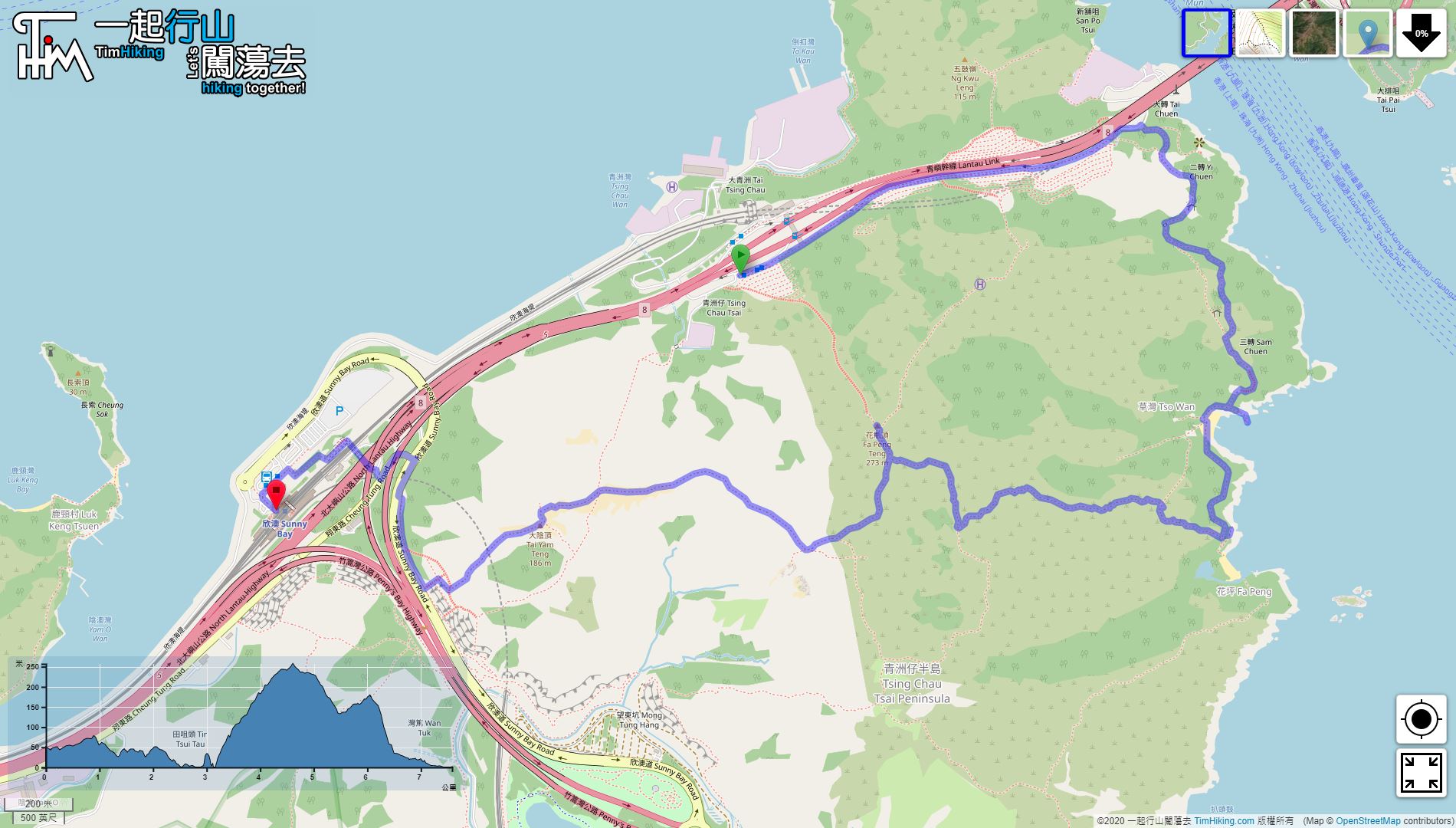


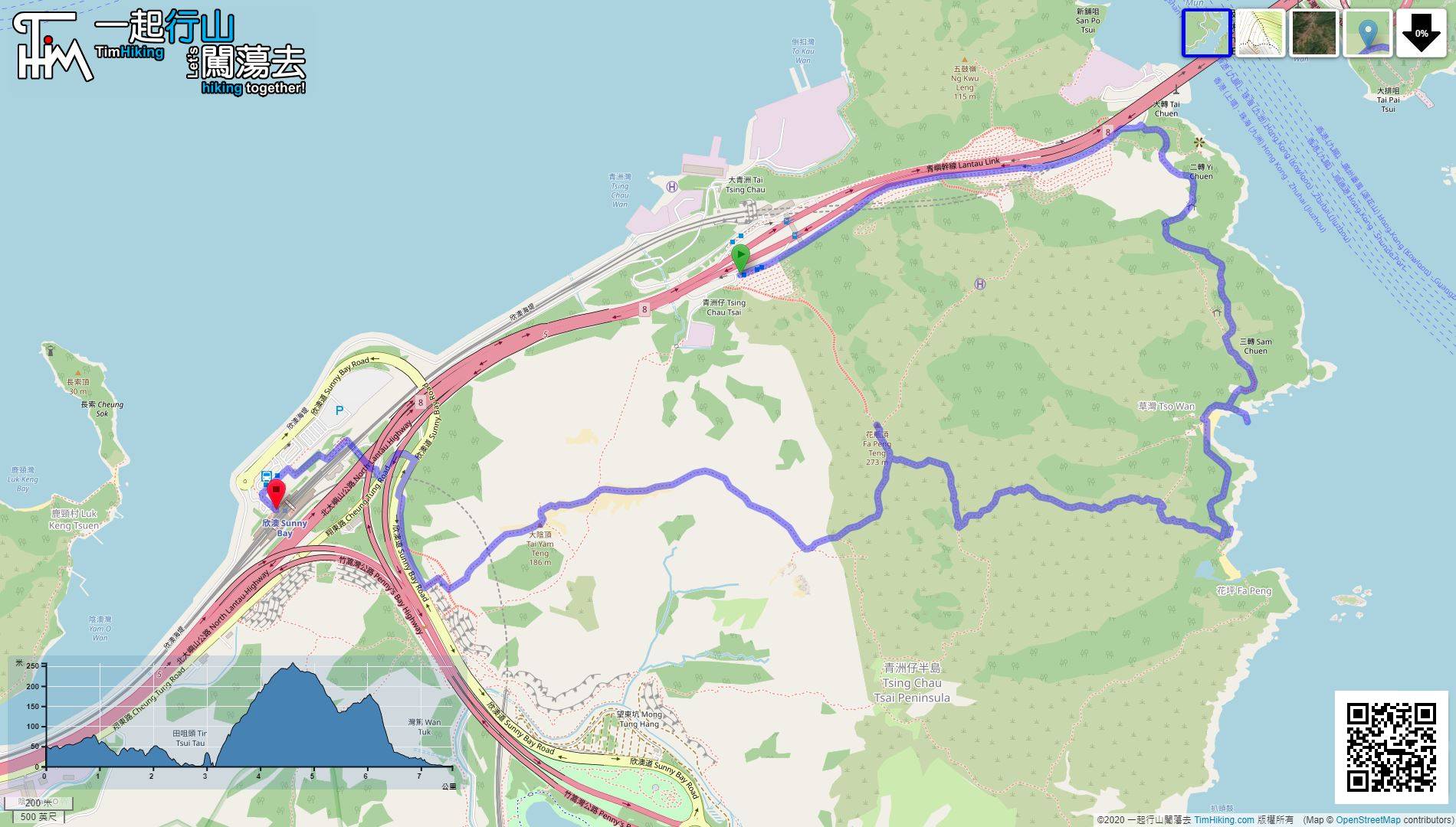
| View : |  | ||
| Difficulty : |  | ||
| Path : | |||
| Length : | 7.6km | ||
| Time : | 4hours | ||
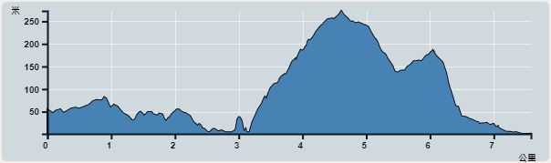 | |
| Ascent : 432m | Descent : 509m |
| Max : 257m | Min : 0m |
| (The accuracy of elevation is +/-30m) | |


 9︰and skip the tunnel entrance.
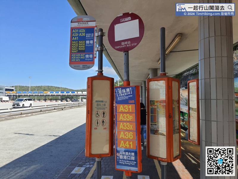
To get to the starting point, just take any bus that passes through the Tsing Ma Toll Plaza.
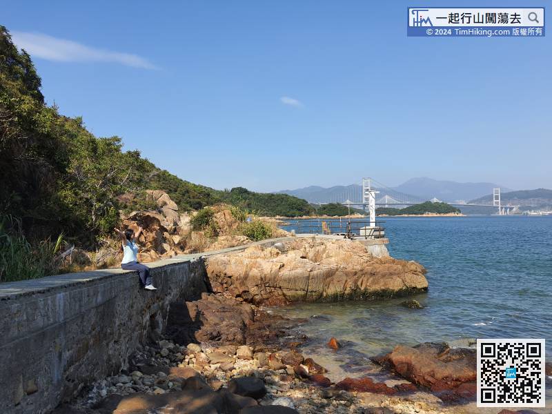
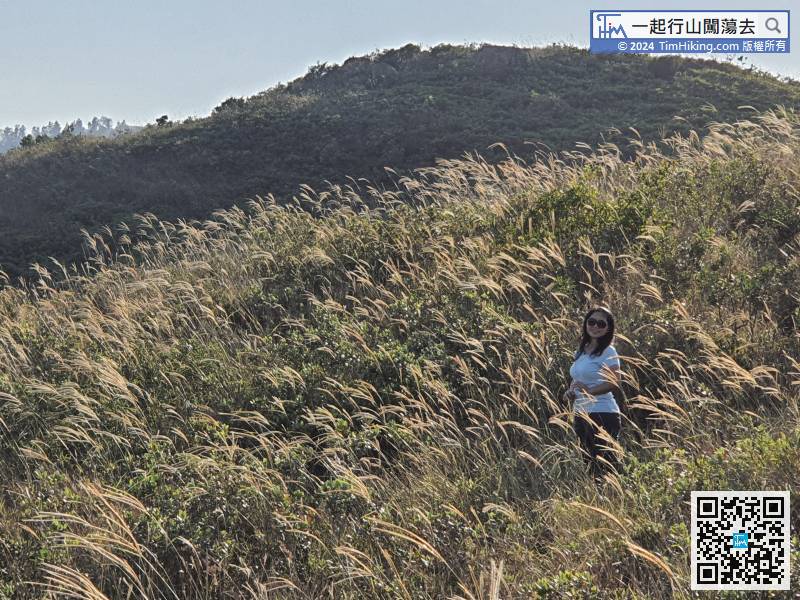
14︰Shortly after going up the mountain, there is a beautiful scene when looking back. This is the best location to shoot Kap Shui Mun Bridge.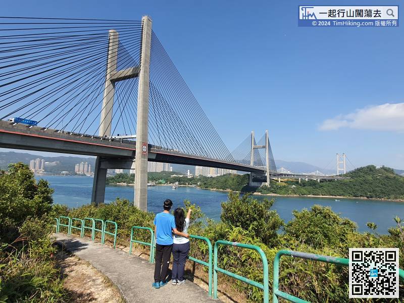
Shortly after going up the mountain, there is a beautiful scene when looking back. This is the best location to shoot Kap Shui Mun Bridge.
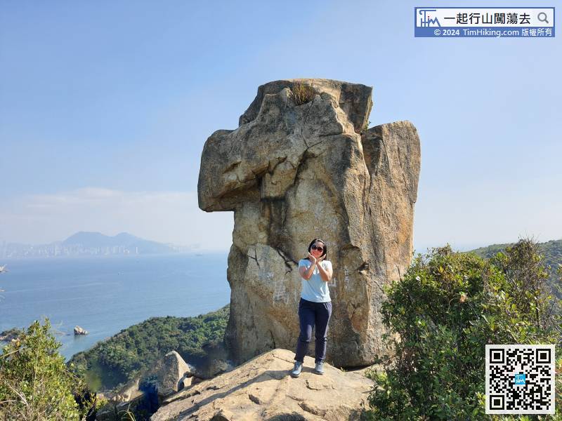
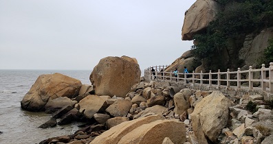
34︰When coming to the small rocky beach on the other side,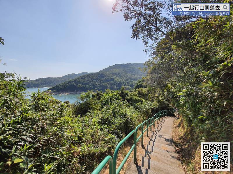 40︰In less than 2 minutes, can see the Vase Rock in front.
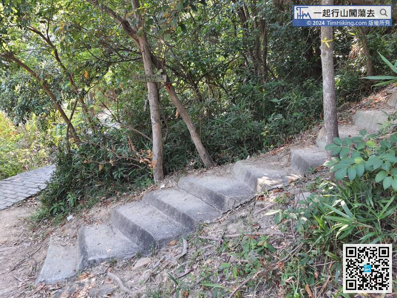
Just next to the intersection here, there is a concrete step up the hill,
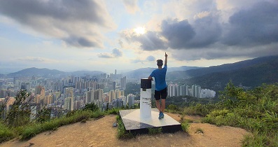
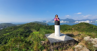
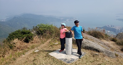
52︰Fa Peng Teng has a trigonometrical station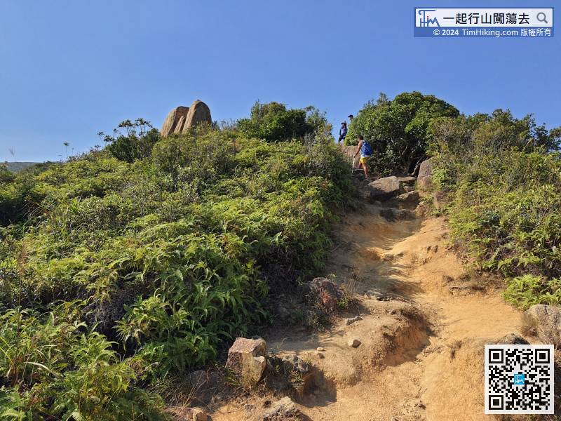
After a short break, head to the next destination, Fa Peng Teng.
63︰the left way is to Inspiration Lake.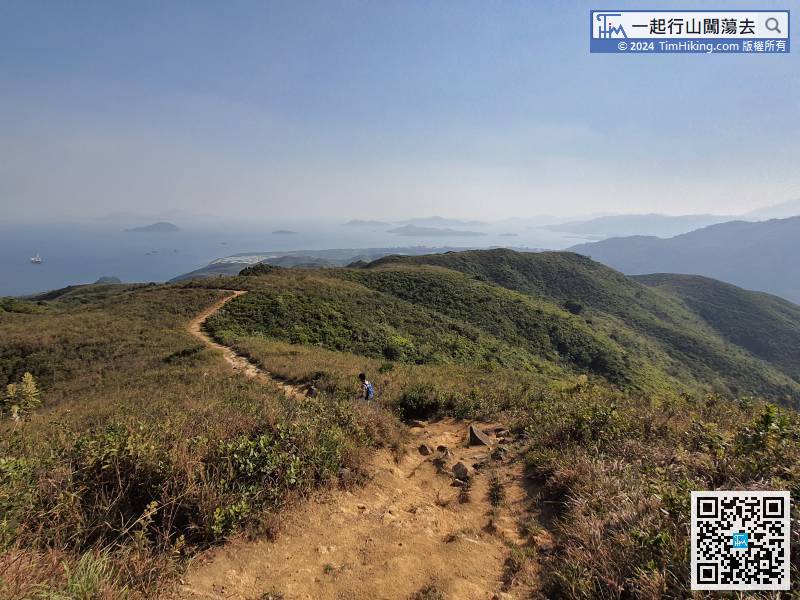 75︰After 15-20 minutes,
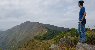
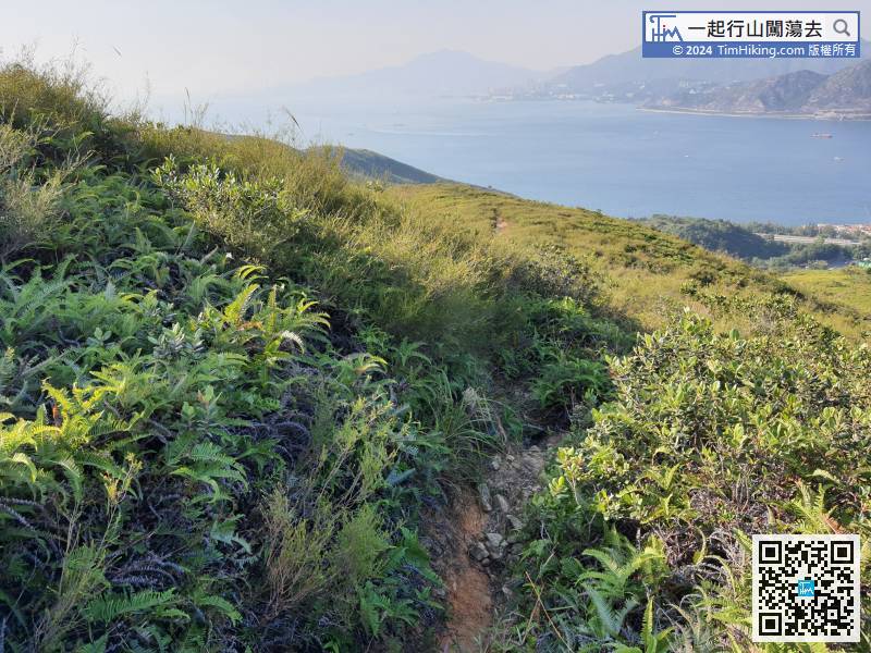 80︰The top of Tai Yam Teng needs to go deliberately.
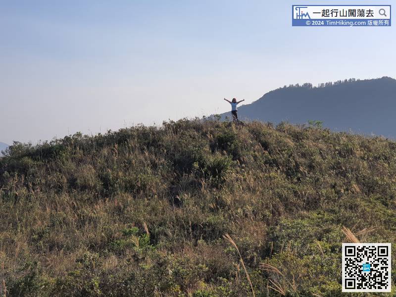


