


 Recommend YouTube


| View : |  | ||
| Difficulty : |  | ||
| Path : | |||
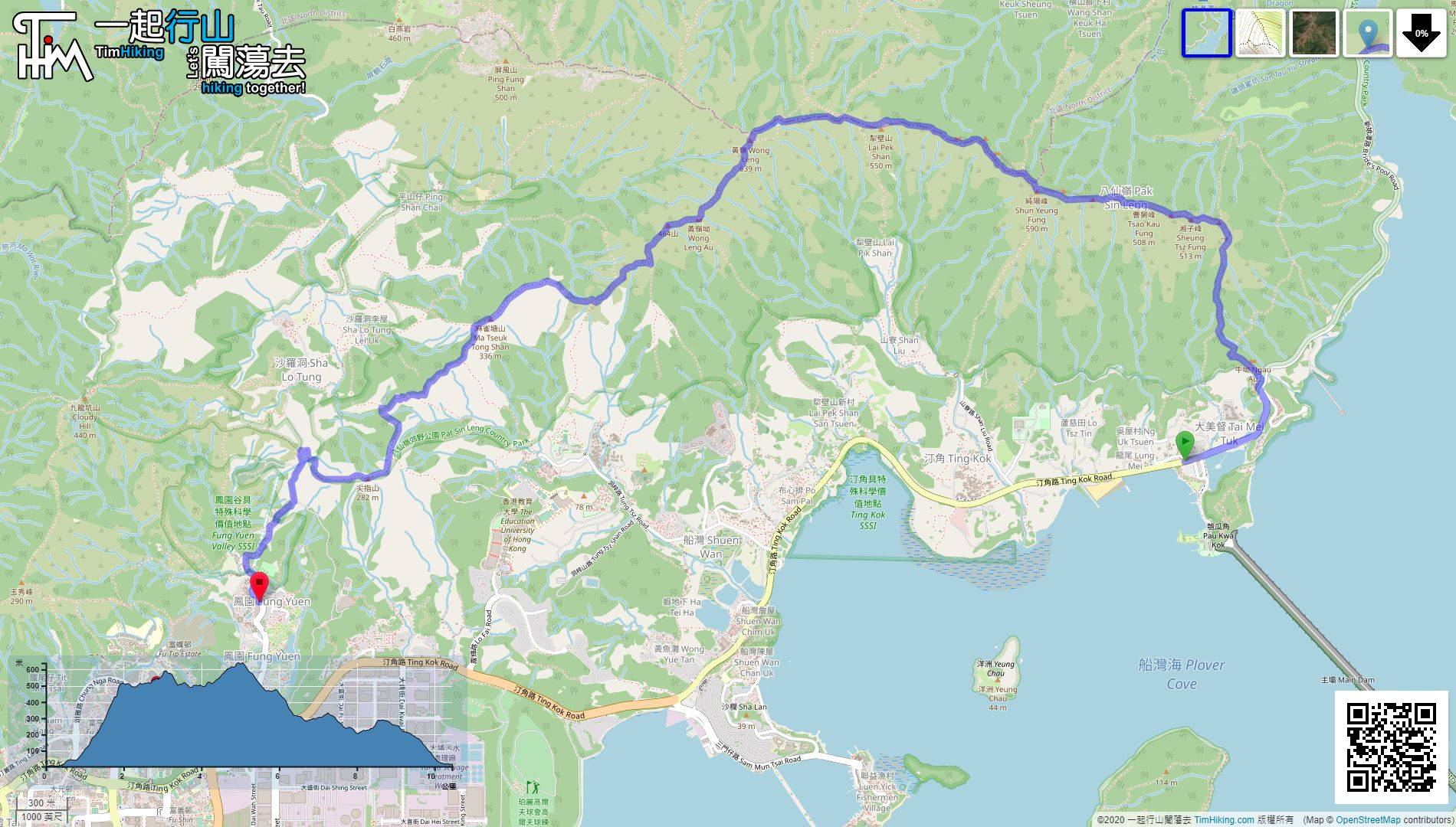
| Length : | 10.5km | ||
| Time : | 7hours | ||
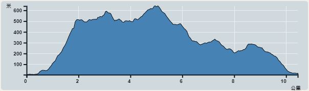 | |
| Ascent : 1,006m | Descent : 994m |
| Max : 616m | Min : 3m |
| (The accuracy of elevation is +/-30m) | |


 13︰start paying attention to the barren trail on the left of the sign of 'No Through Road Ahead',
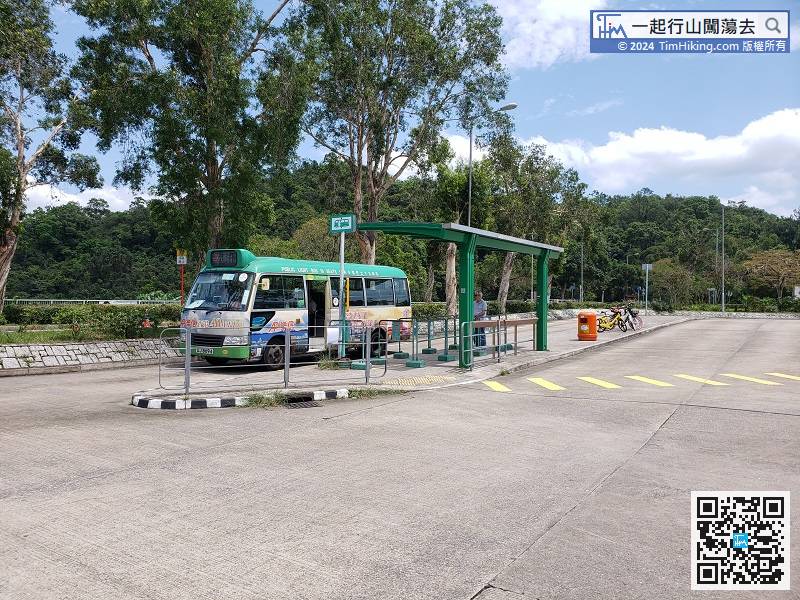
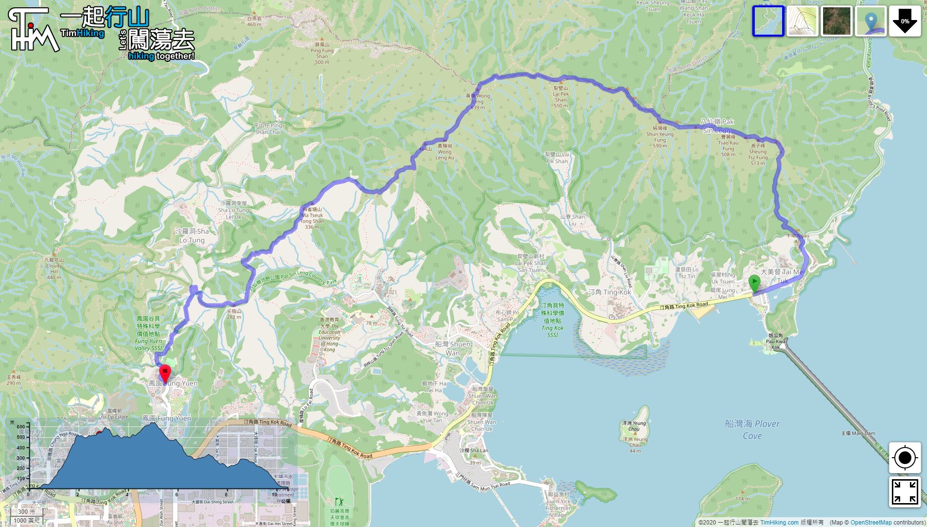
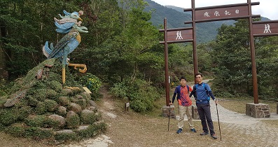
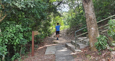
First take the MTR to Tai Po Market Station, transfer to the 75K bus or 20C minibus, and get off at Tai Mei Tuk Lung Mei.
17︰but it is not very useful because the barren trail itself is very clear.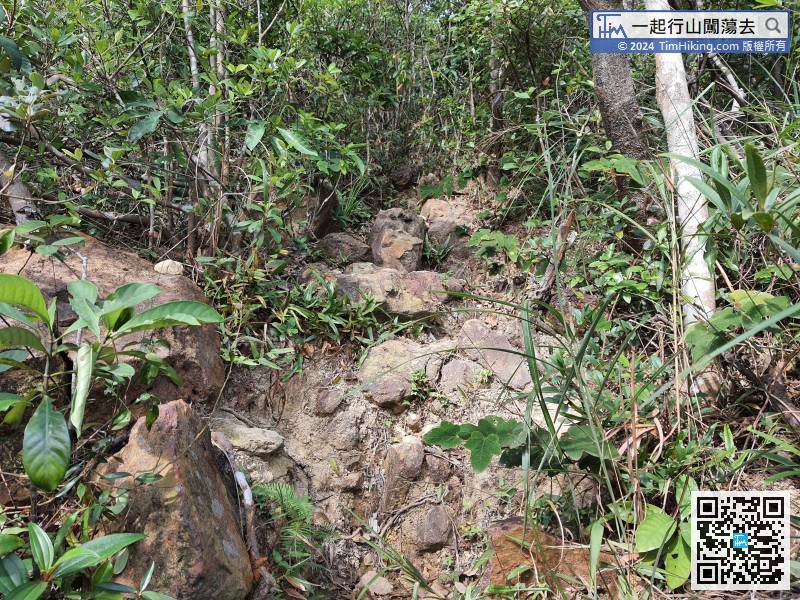
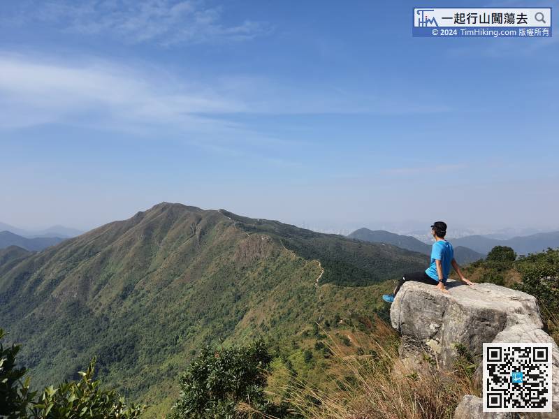
The slopes of the barren trail to Monkey Cliff is very high.
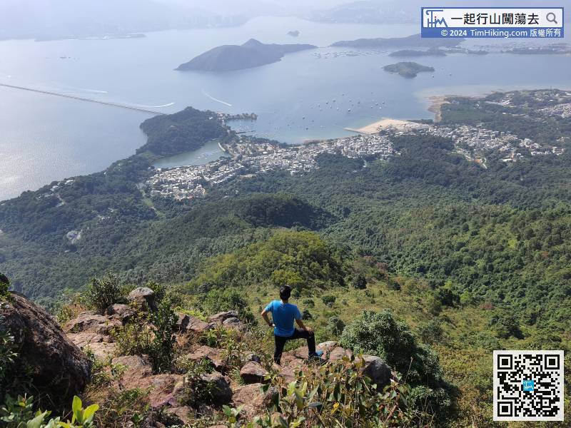
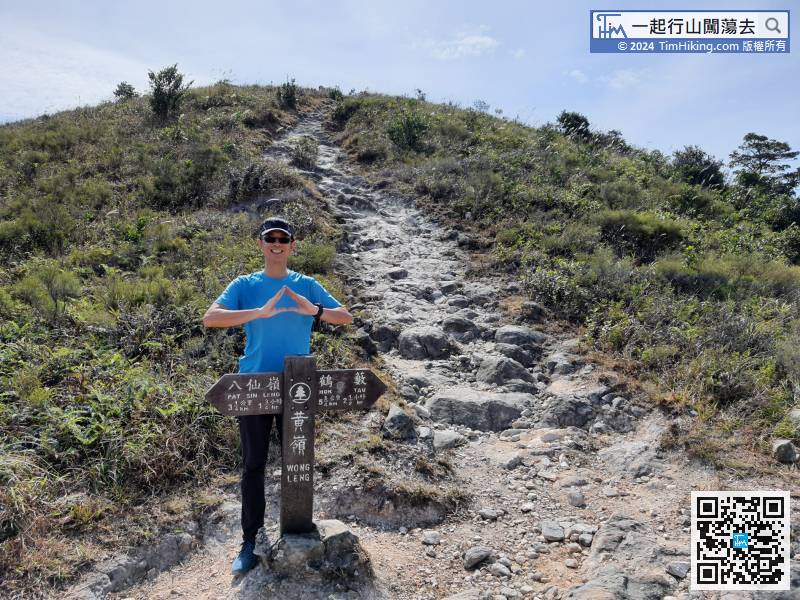
33︰Now, come to the first peak of Pat Sin Leng, Hsien Ku Fung, at an altitude of 511 meters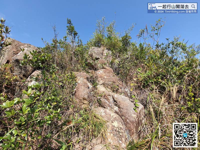 45︰come to the fourth peak Kuai Li Fung, with 508 meters high, representing Uncle Cao Guo.
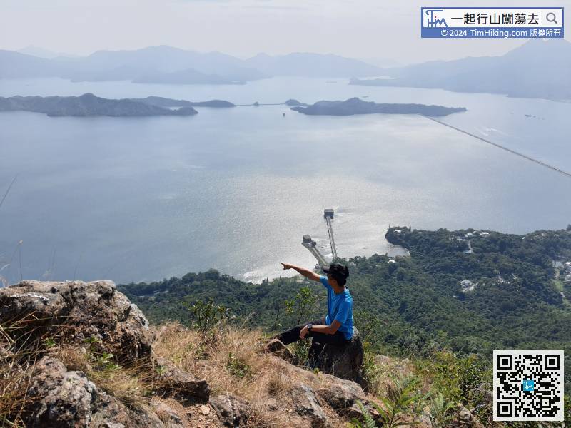
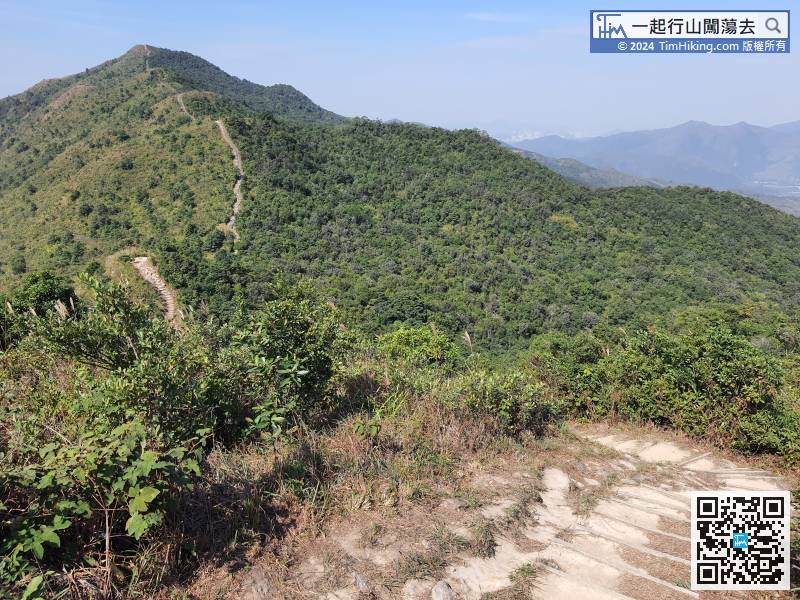 52︰Chung Li Fung looks like on the roadside, the peaks are not obvious, the altitude is 529 meters, which represents Zhongli Quan.
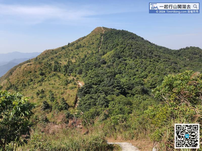 63︰In the distance post W121, keep to the left,
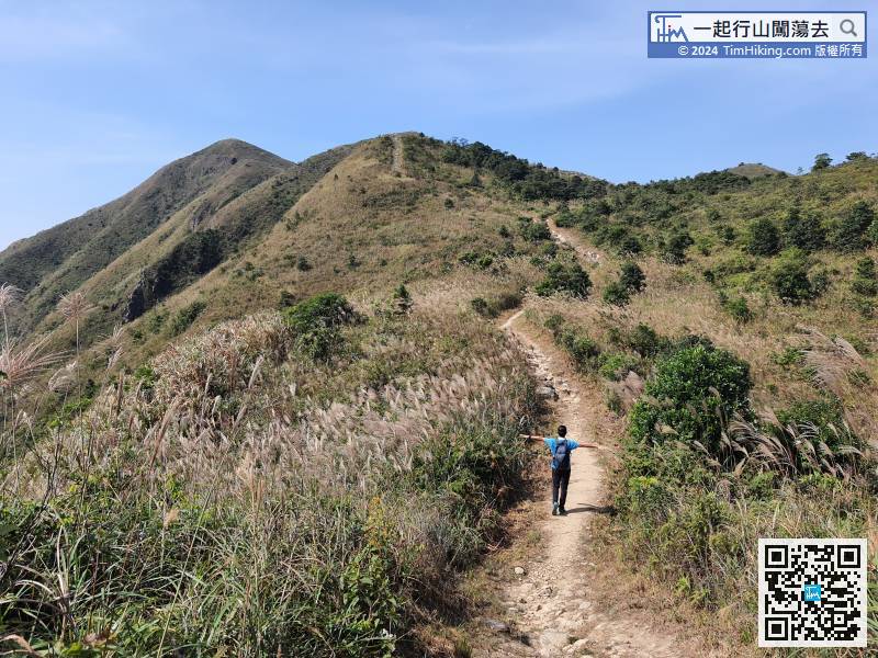
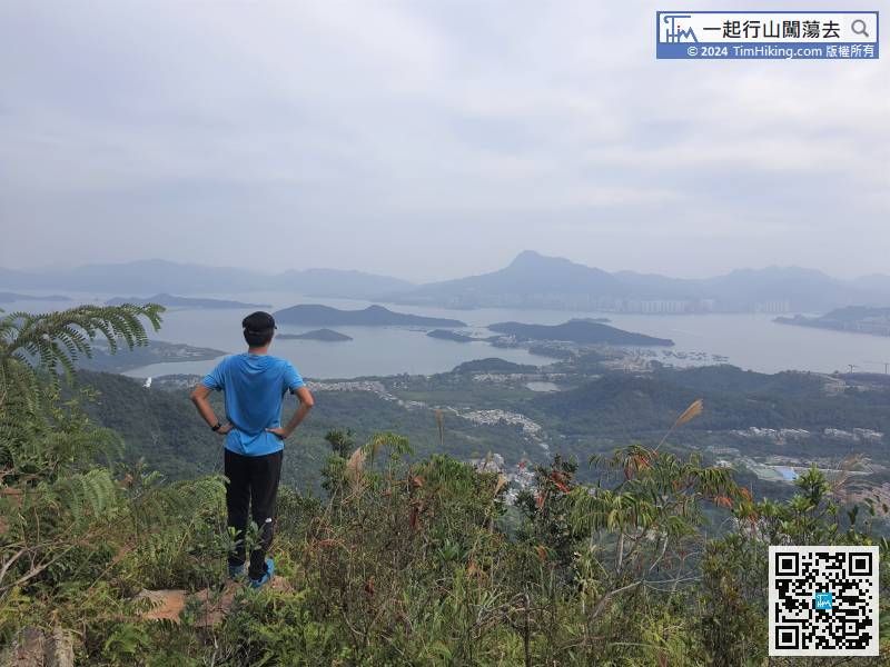
Fortunately, during the season when Miscanthus is in full bloom, a lot of Miscanthus can be seen near Lai Pek Shan.
75︰some parts are very steep,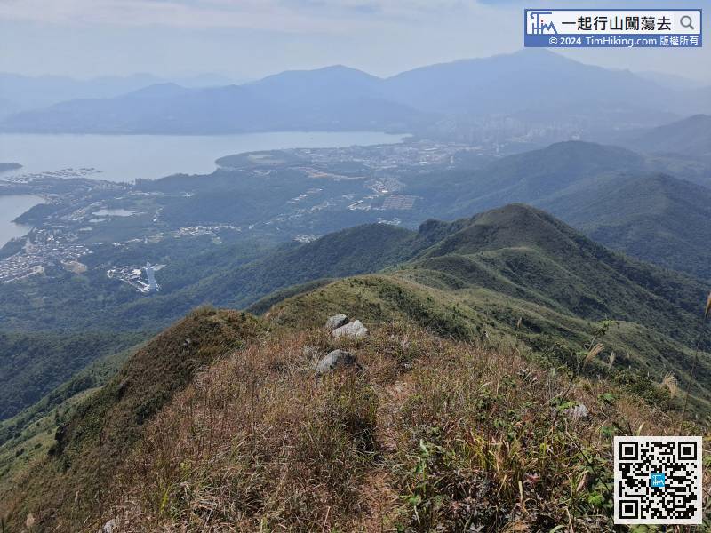
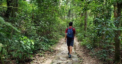
Begin the 4.2km barren trail, hikers without similar experience better return to the Wilson Trail and leave.
91︰Ma Tseuk Tong Shan also has a trigonometrical station, and the scenery is similar to the previous one.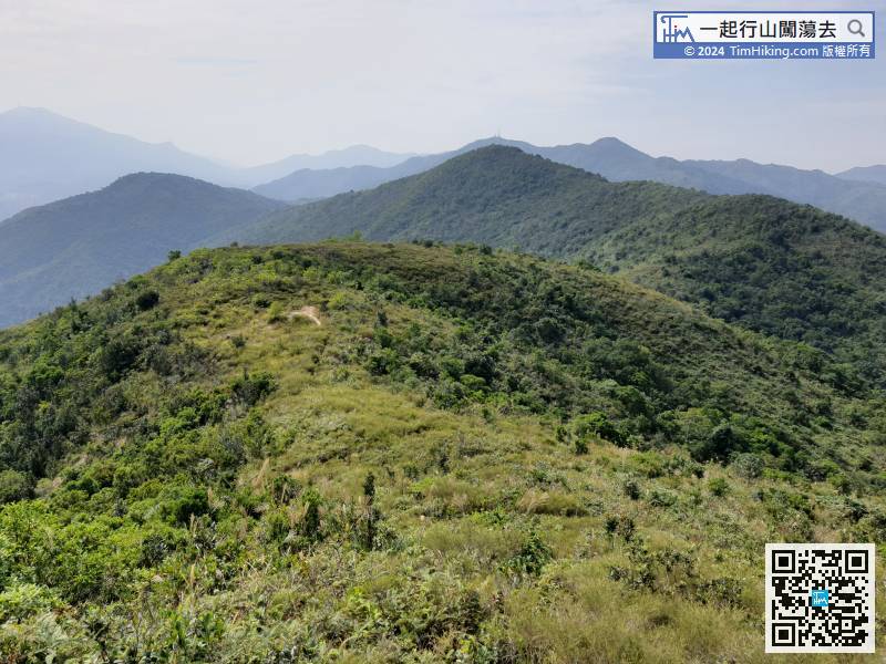 99︰Also, keep to the left at the next bifurcation.
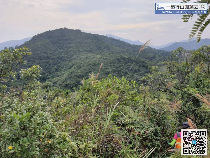
Next, look at the mountain ahead and downhill, but do not need to climb.
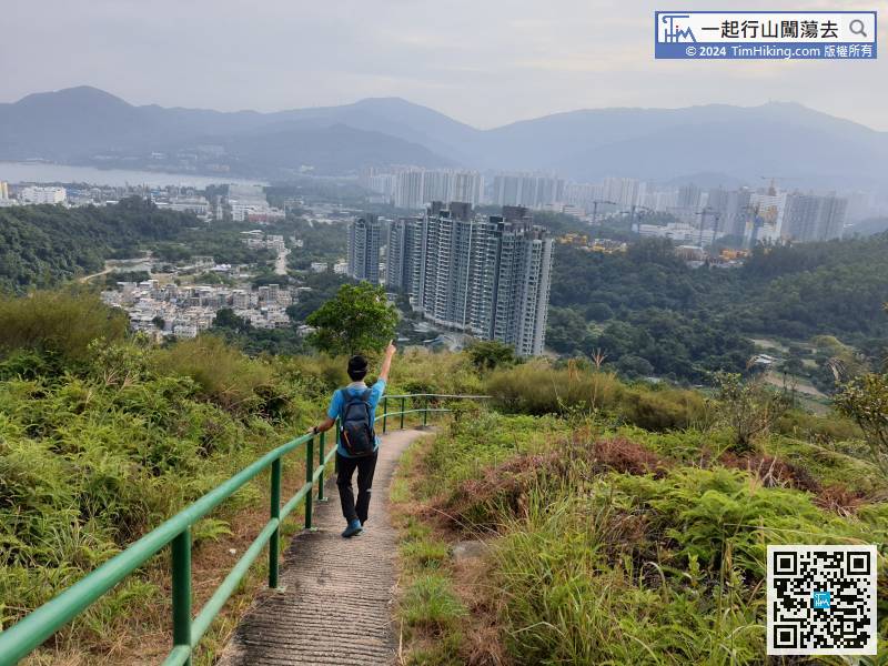
114︰The exit of the downhill is the luxury mansion Mont Vert right in front.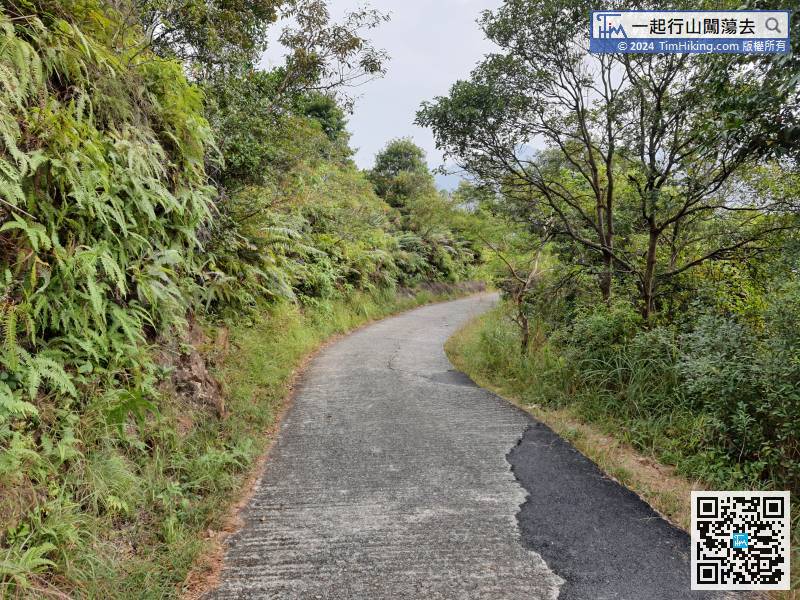


