


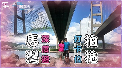
 Recommend YouTube


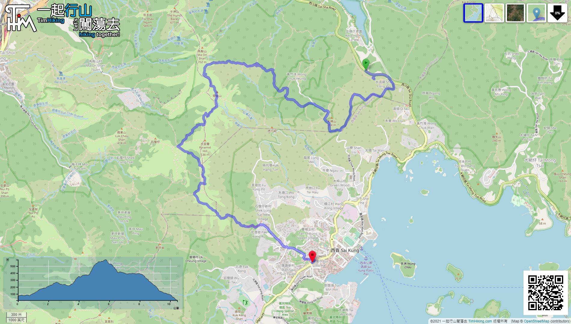
| View : |  | ||
| Difficulty : |  | ||
| Path : | |||
| Length : | 10.3km | ||
| Time : | 3½hours | ||
| 【 Shui Long Wo Campsite 】 | |||
| Toilet : | Outhouse, Portable Toilets | ||
| Water : | Stream Water | ||
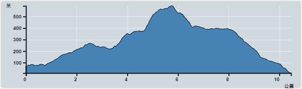 | |
| Ascent : 694m | Descent : 740m |
| Max : 575m | Min : 11m |
| (The accuracy of elevation is +/-30m) | |


 2︰After getting off the bus, head towards Sai Kung and you will see the big archway of Shui Long Wo.
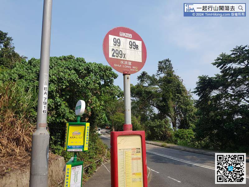
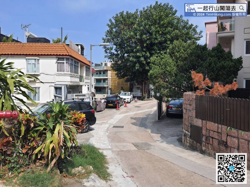
First, go to Shui Long Wo. You can take bus 99/99R/289R/299X in Sai Kung and get off at Shui Long Wo bus stop.
23︰on the left is Chuk Yeung Road, which can go to Sha Ha Beach.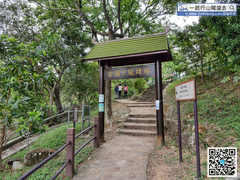 27︰Pay attention to the bifurcation about 250 meters ahead,
 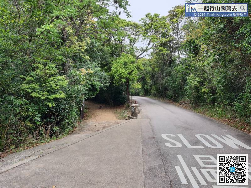 40︰and some are tree-rooted trails.
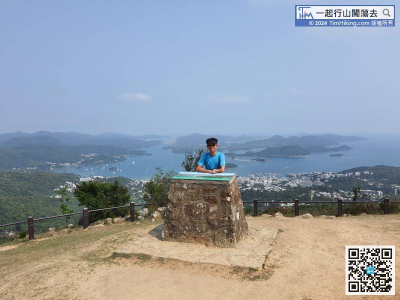
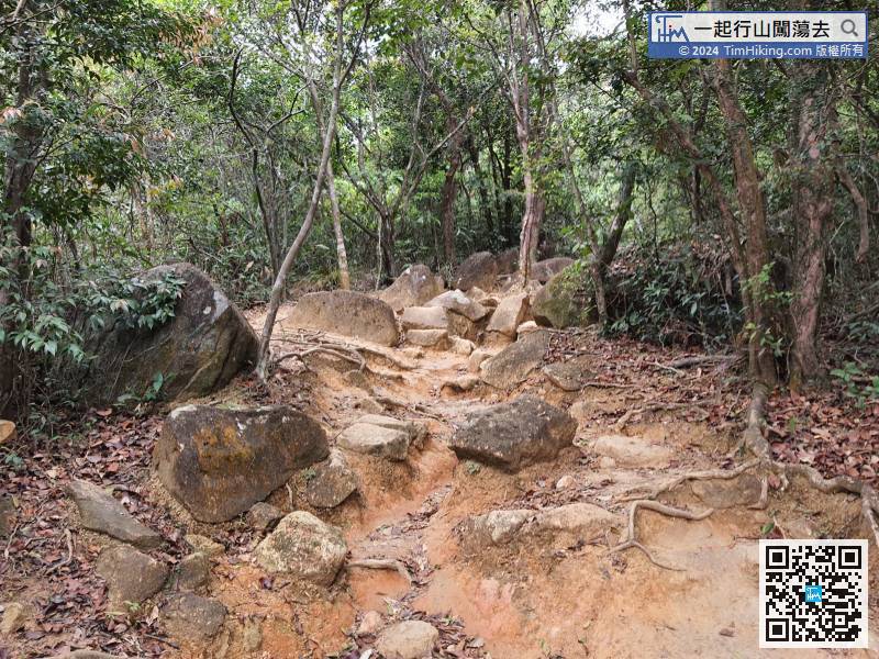 51︰There is a new step on the left-hand side to the self-service filming station.
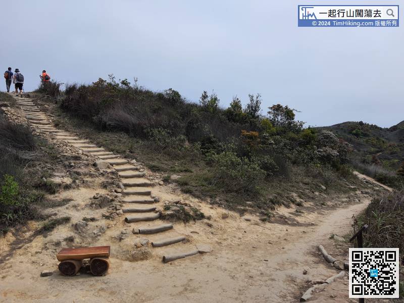
There is a new step on the left-hand side to the self-service filming station.
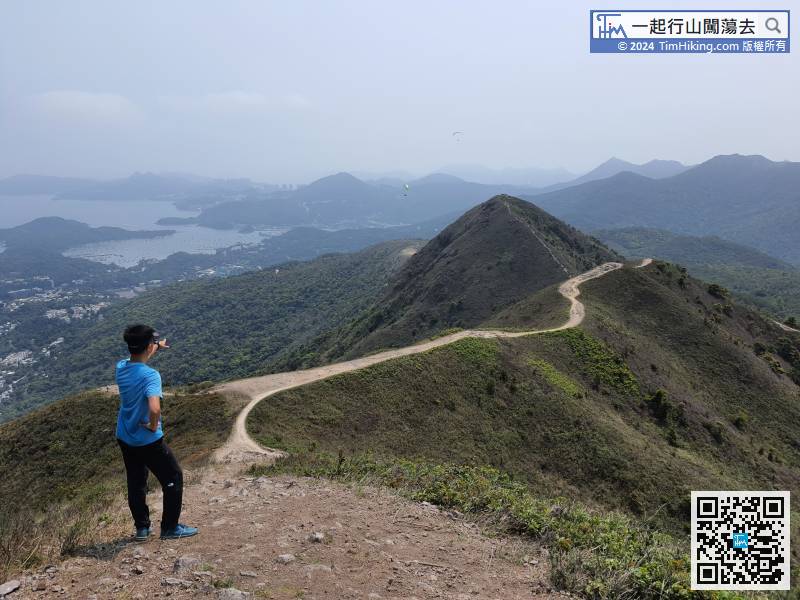
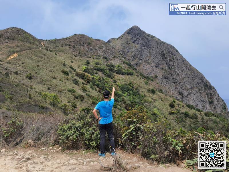
59︰於Wan Kuk Shan山頂的景觀不是最靚的,在旁有小山丘阻擋,也看不到彎曲的山脊。The view on the top of Wan Kuk Shan is not the most beautiful. There are small hills next to it, and no curved ridges can be seen.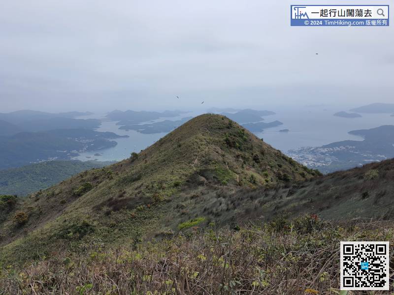
於Wan Kuk Shan山頂的景觀不是最靚的,在旁有小山丘阻擋,也看不到彎曲的山脊。The view on the top of Wan Kuk Shan is not the most beautiful. There are small hills next to it, and no curved ridges can be seen.
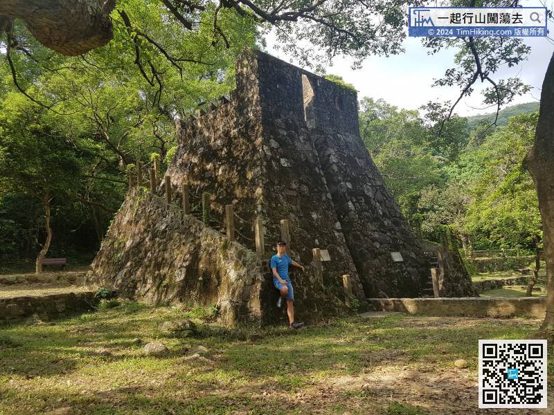
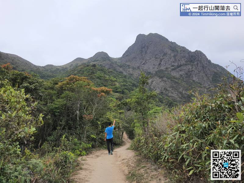
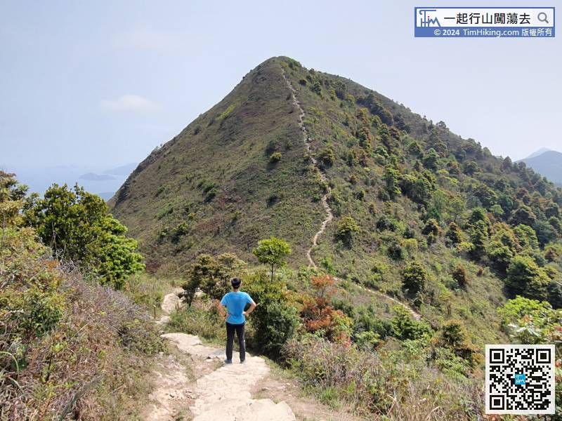
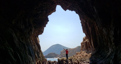
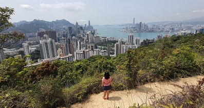
67︰The mountain in front is Pyramid Hill.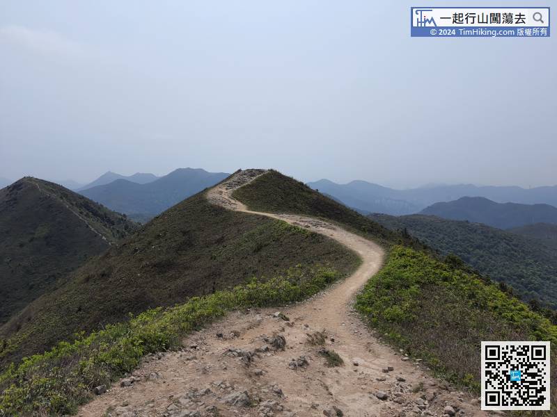 78︰There is a viewing point at the edge,
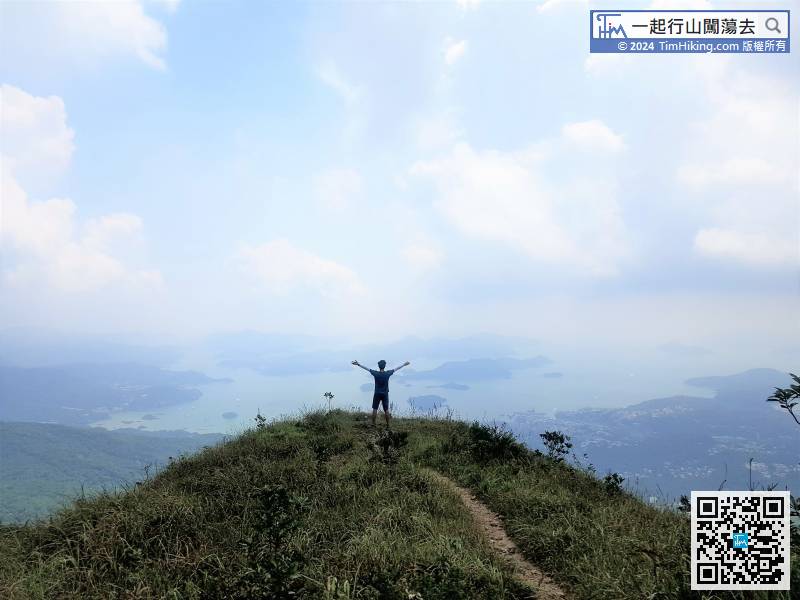
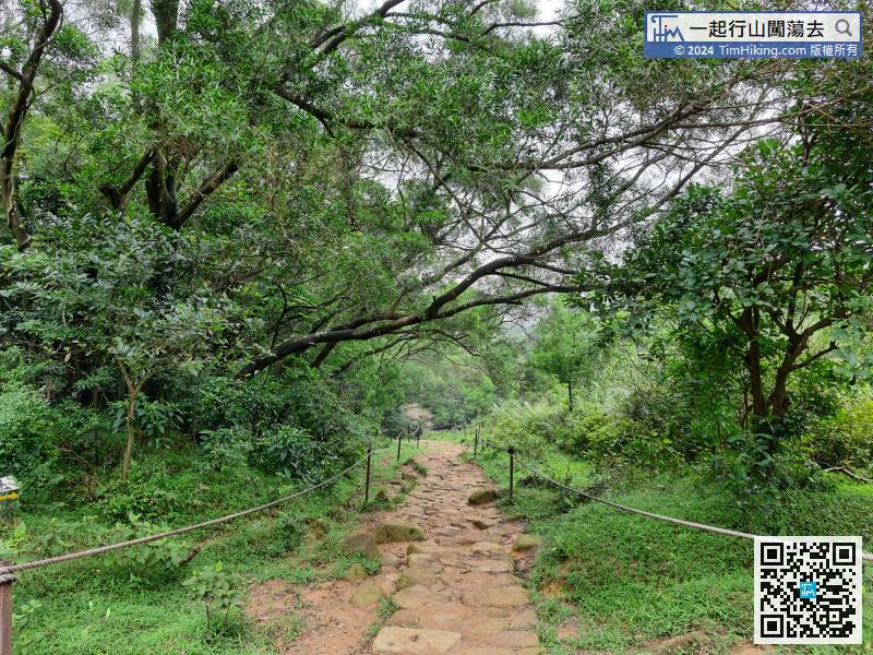
There are railings on both sides, the main function is to prevent the trail from desertification.
82︰ also leave MacLehose Trail at the bifurcation,


