


 Recommend YouTube


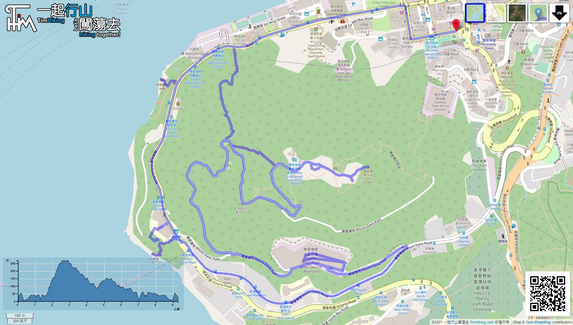
| View : |  | ||
| Difficulty : |  | ||
| Path : | |||
| Length : | 9.7km | ||
| Time : | 3hours | ||
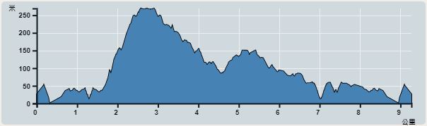 | |
| Ascent : 801m | Descent : 801m |
| Max : 262m | Min : 0m |
| (The accuracy of elevation is +/-30m) | |


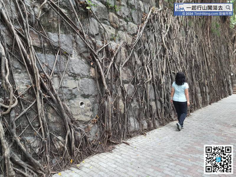
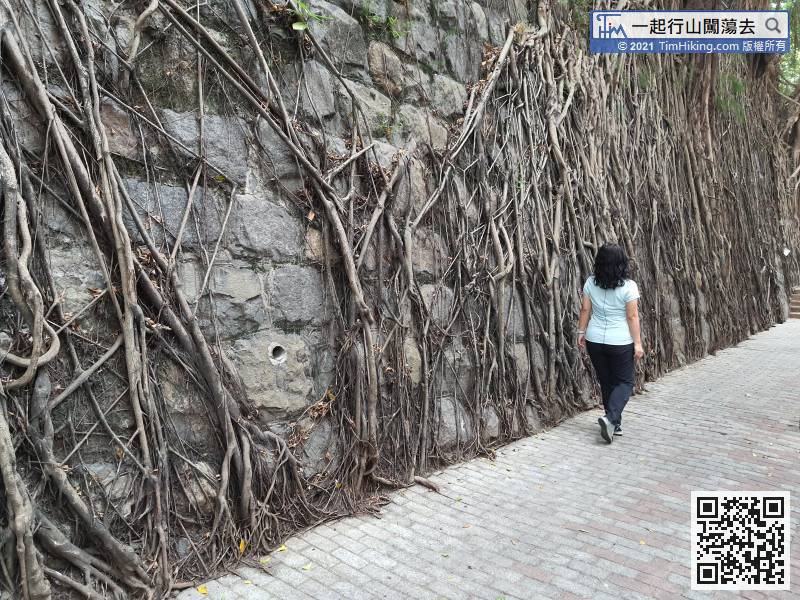
Take the MTR to Kennedy Town, turn left at Exit C, and you will see the Stone Wall Tree,
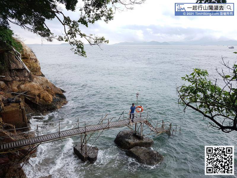
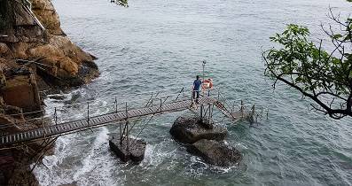
 11︰the waves are constantly beating on the shores, the planks are very slippery.
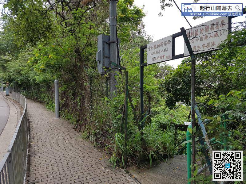
After walking forward, there is an iron gate on the right, which is the stairs leading to Sai Wan Swimming Shed.
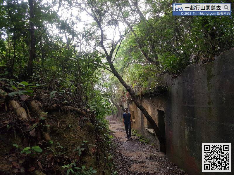
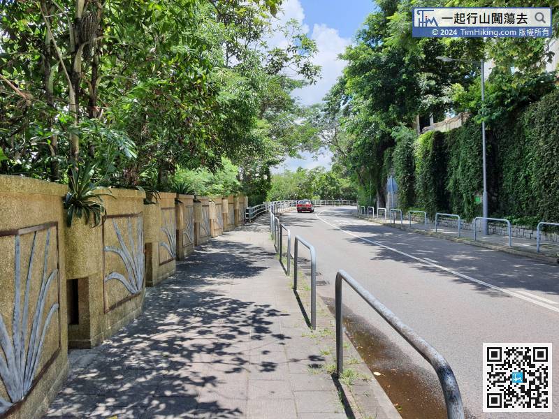
Follow this staircase and go straight up. There are many bifurcated roads in the middle. Pay attention to wide roads and avoid rugged roads.
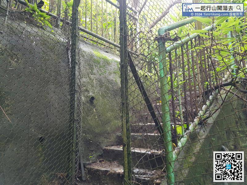
24︰Take the clearest stairs to Mount Davis Path.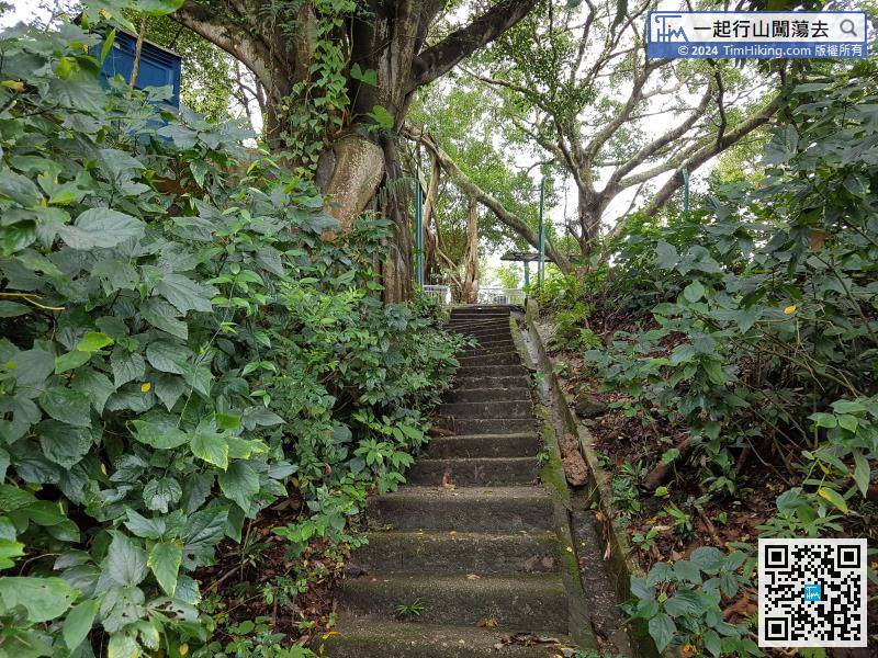
After choosing the correct path to go, the next road will become more obvious.
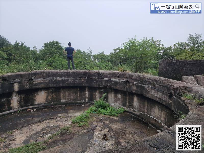
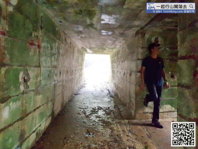
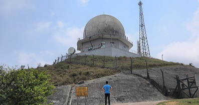
33︰The fort is very large, it looks similar to the fort of Devil's Peak,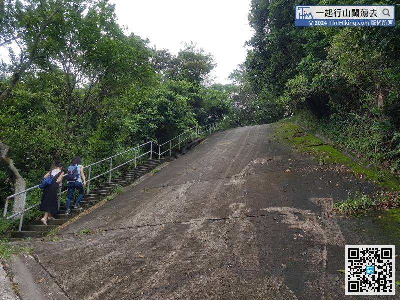 48︰In the next fork, turn left
 50︰Keep left at the pavilion,
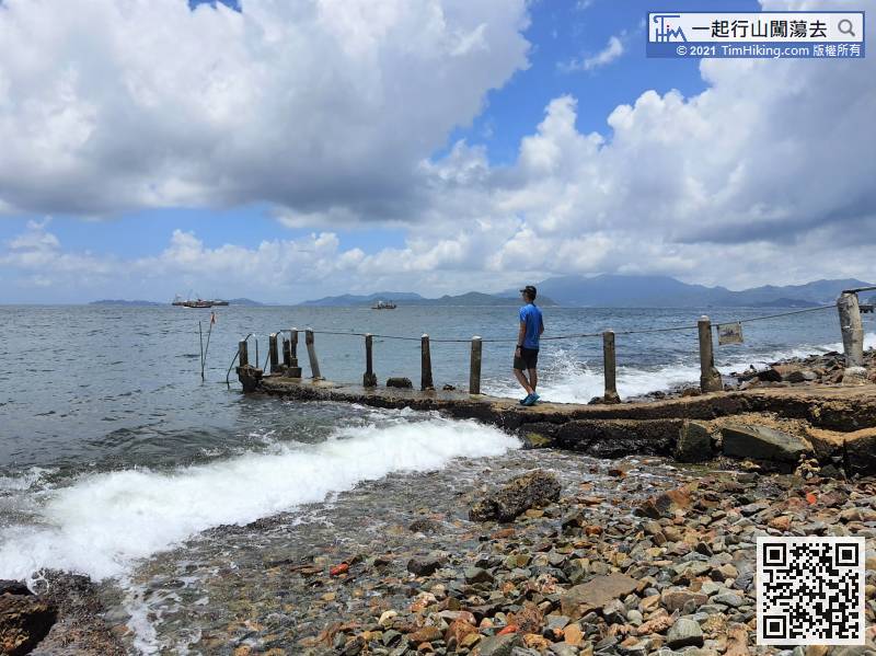
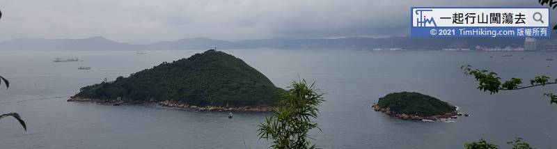
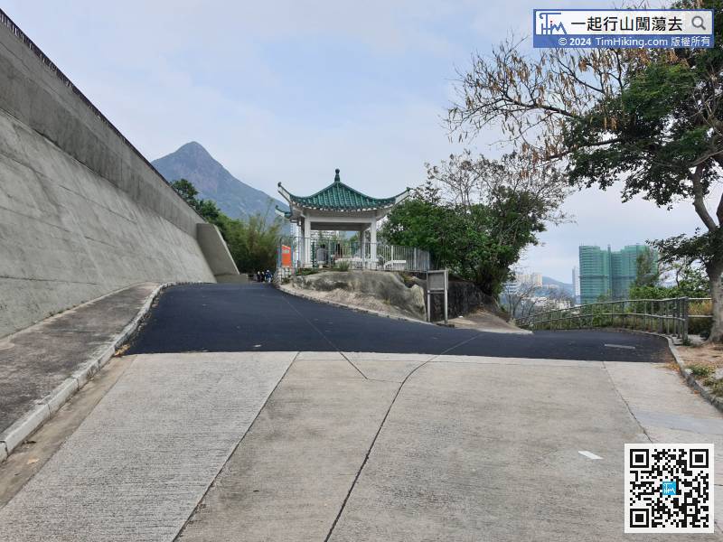 70︰The Sandy Bay Swimming Shed is right in front,
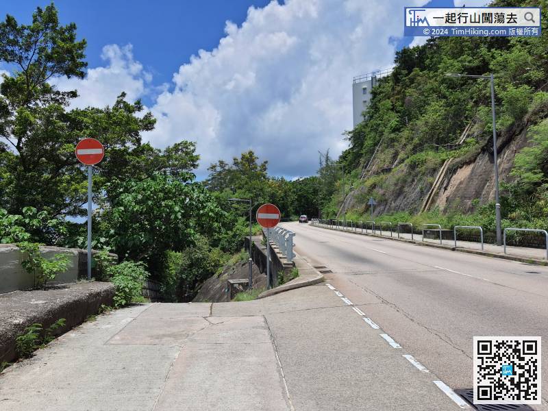
 91︰and reach the gun emplacement.
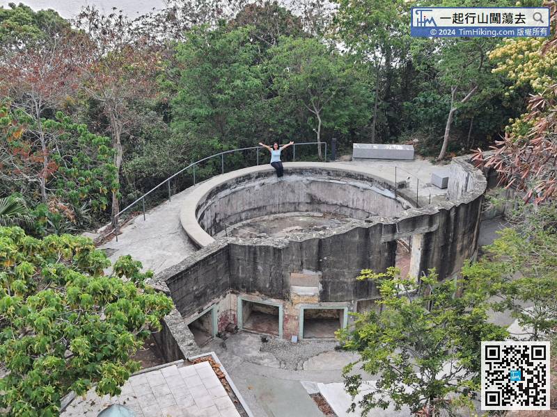
As soon as you enter the university, you can see the ruins of No.2 gun emplacement a few steps ahead.


