


 Recommend YouTube


| View : |  | ||
| Difficulty : |  | ||
| Path : | |||
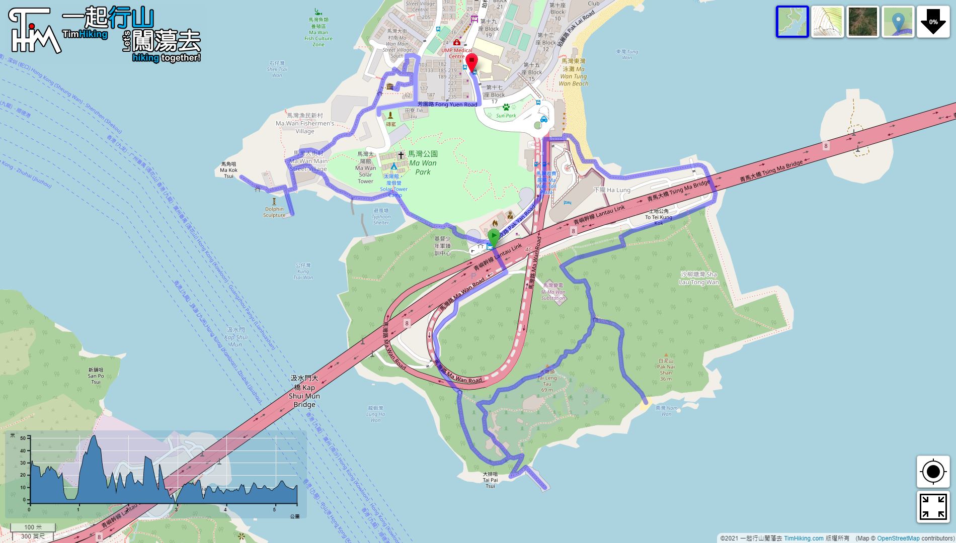
| Length : | 5.5km | ||
| Time : | 2½hours | ||
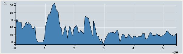 | |
| Ascent : 227m | Descent : 234m |
| Max : 52m | Min : 0m |
| (The accuracy of elevation is +/-30m) | |


 2︰and get off at Pak Yan Road.
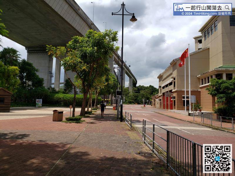
The starting point is near Ma Wan Fire Station. You can take NR331/NR331S at MTR Tsuen Wan Station or Tsuen Wan West Station,
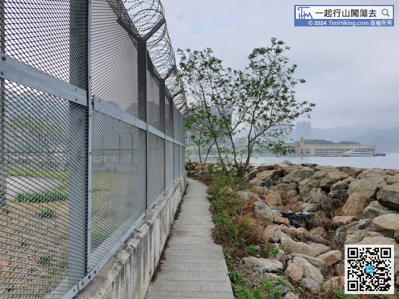
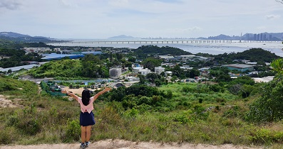
12︰Tai Pai Kok Cemetery Pier has a small lighthouse with a 180-degree view,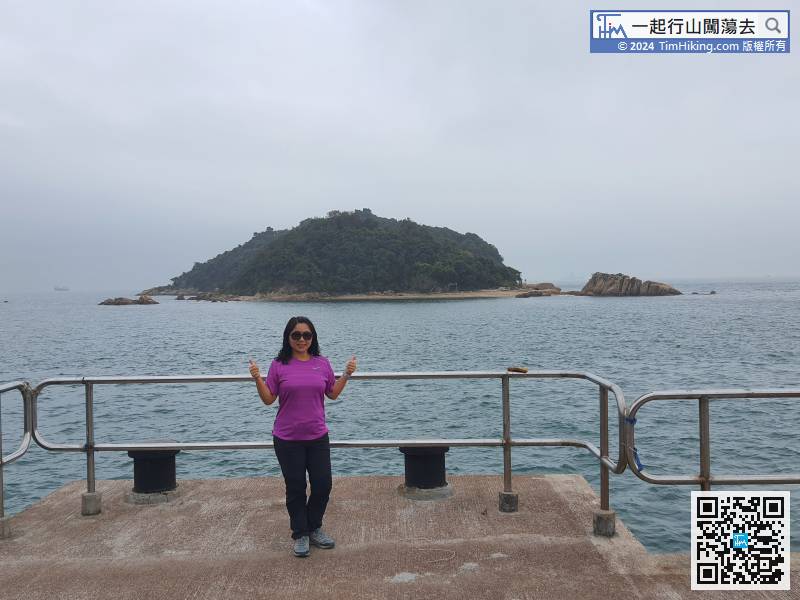
Tai Pai Kok Cemetery Pier has a small lighthouse with a 180-degree view,
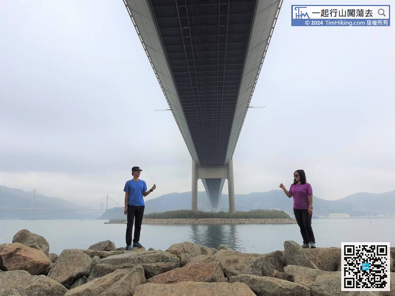
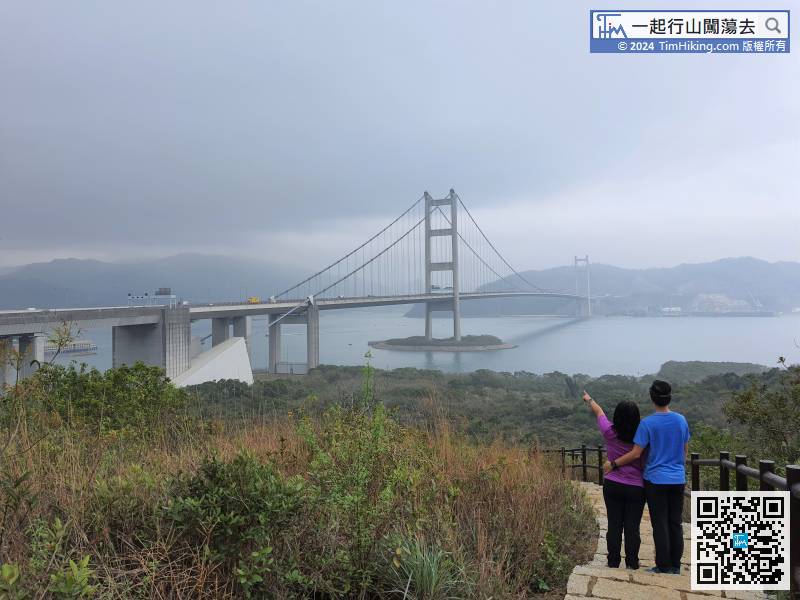
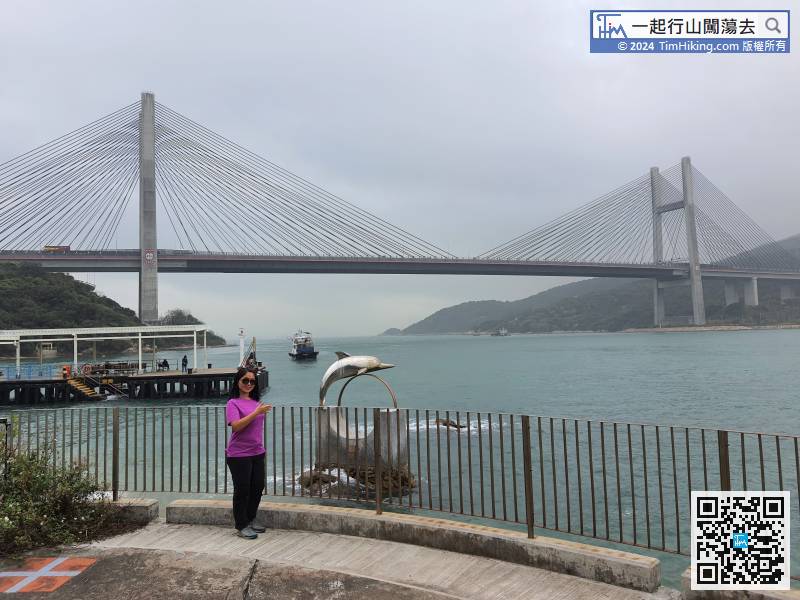
22︰and behind is the beautiful view of the Tsing Ma Bridge. The bridge body, pylons and anchorages are all clear and unobstructed.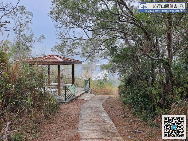
The most open scenery is in the wooden pavilions in the front,
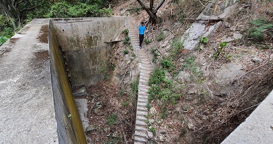
36︰there is another trigo-station on the way.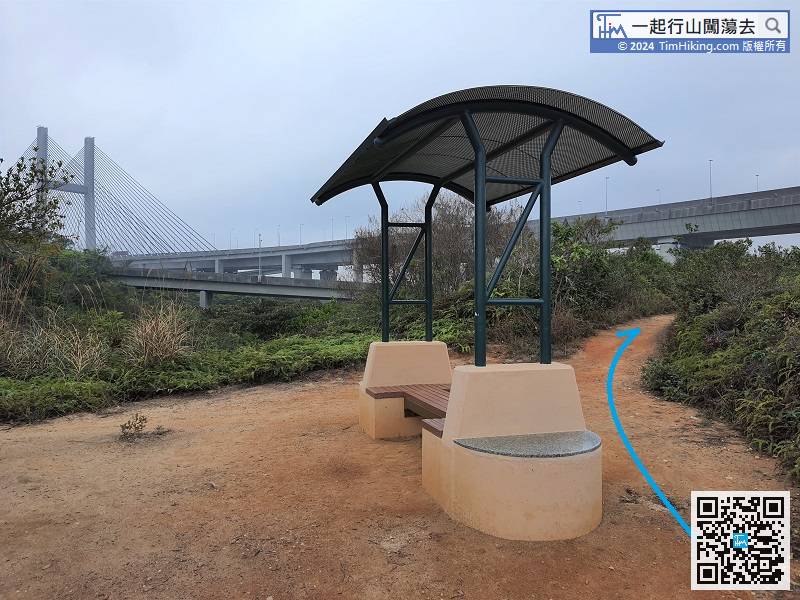
 65︰At the entrance of the village, there is a small pier, and will see the Kap Shui Mun Bridge nearby.
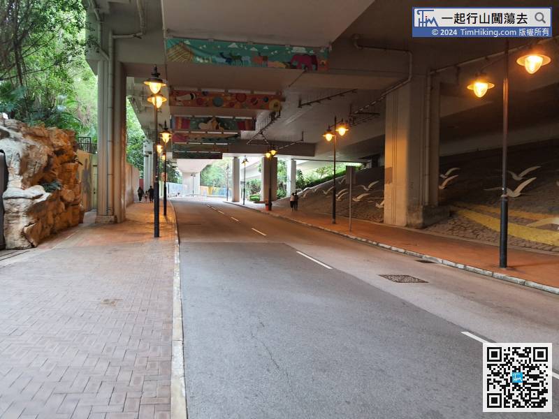
Leave Tung Wan Beach, keep to the left and return to the fire station where the car dropped.
68︰and now Ma Wan Main Street has become deserted and deserted,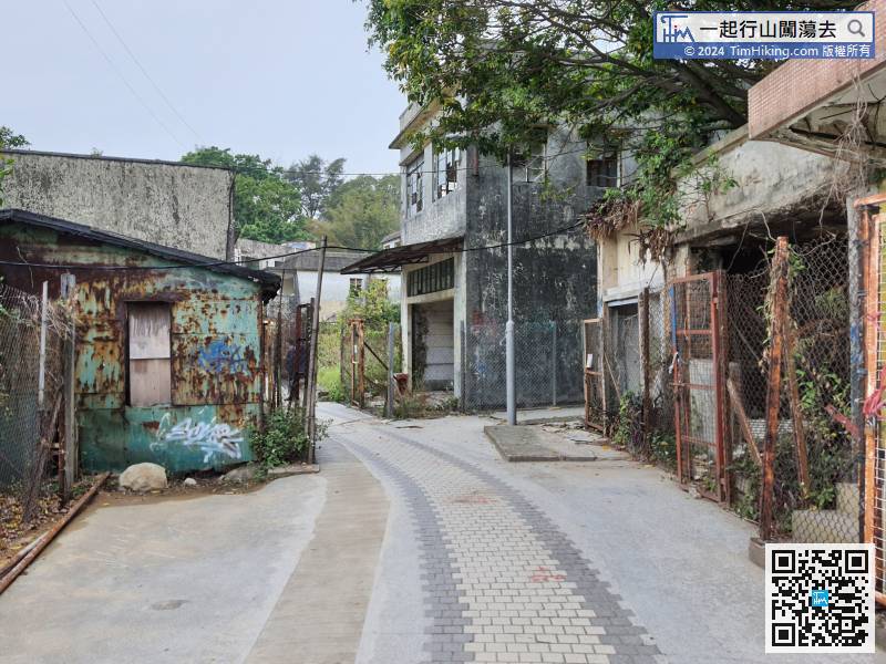
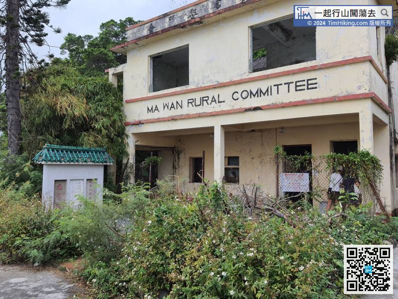
Go to the back, but do not enter to the new village. Go straight along the flat road and leave Ma Wan Fishermen Village.
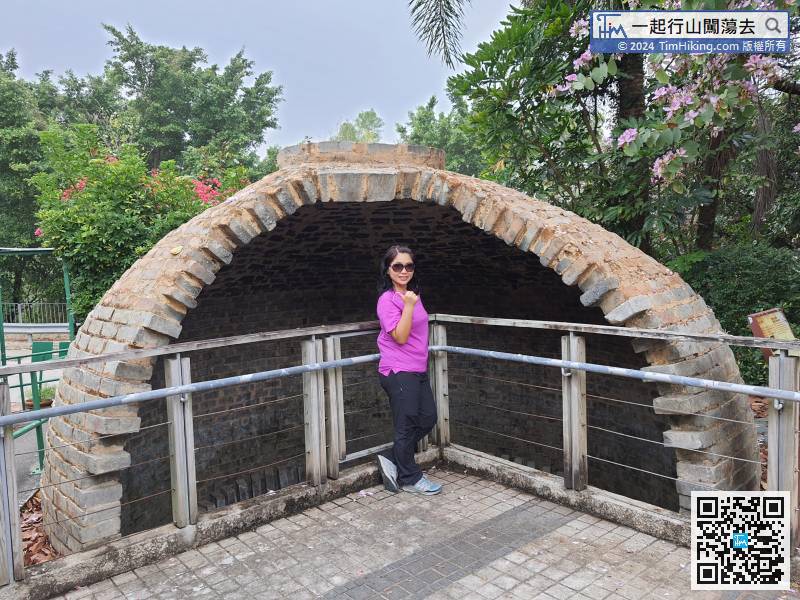
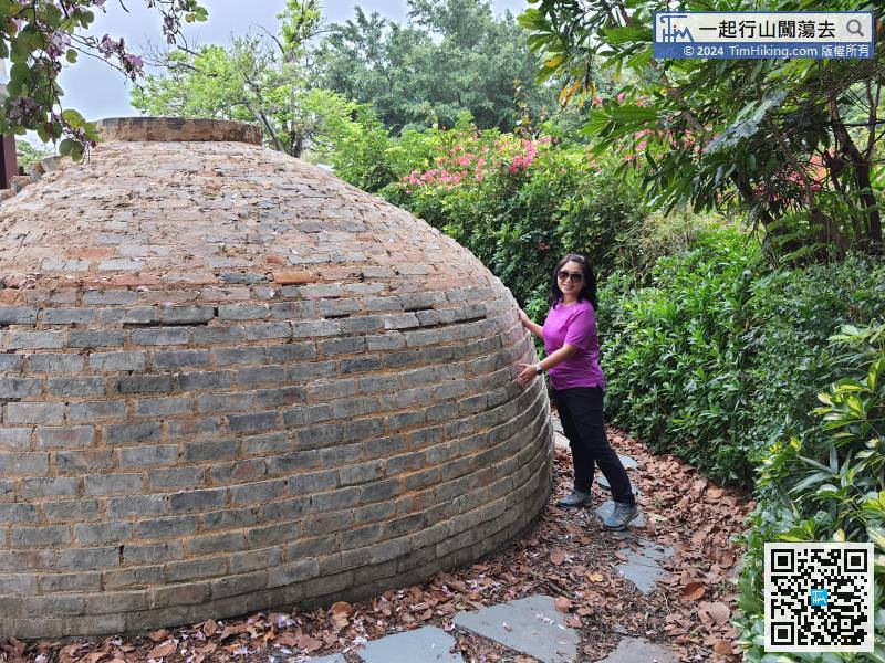
98︰As soon as entered, Ma Wan Kilns will in your eyes.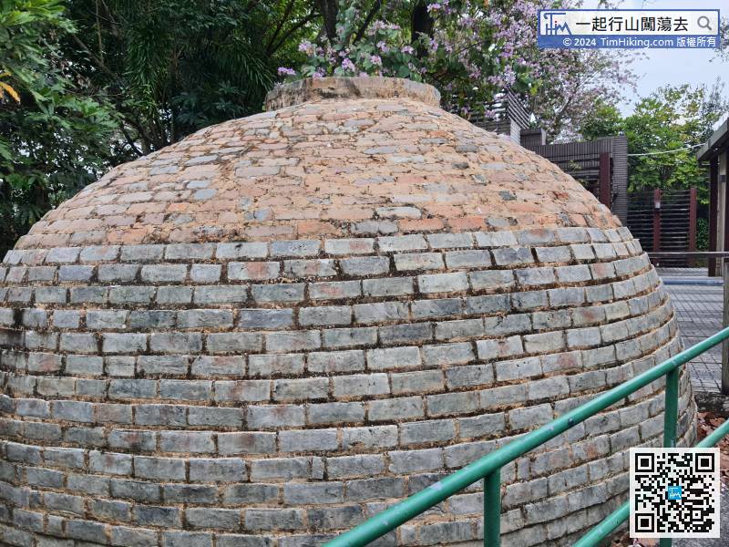


