


 Recommend YouTube


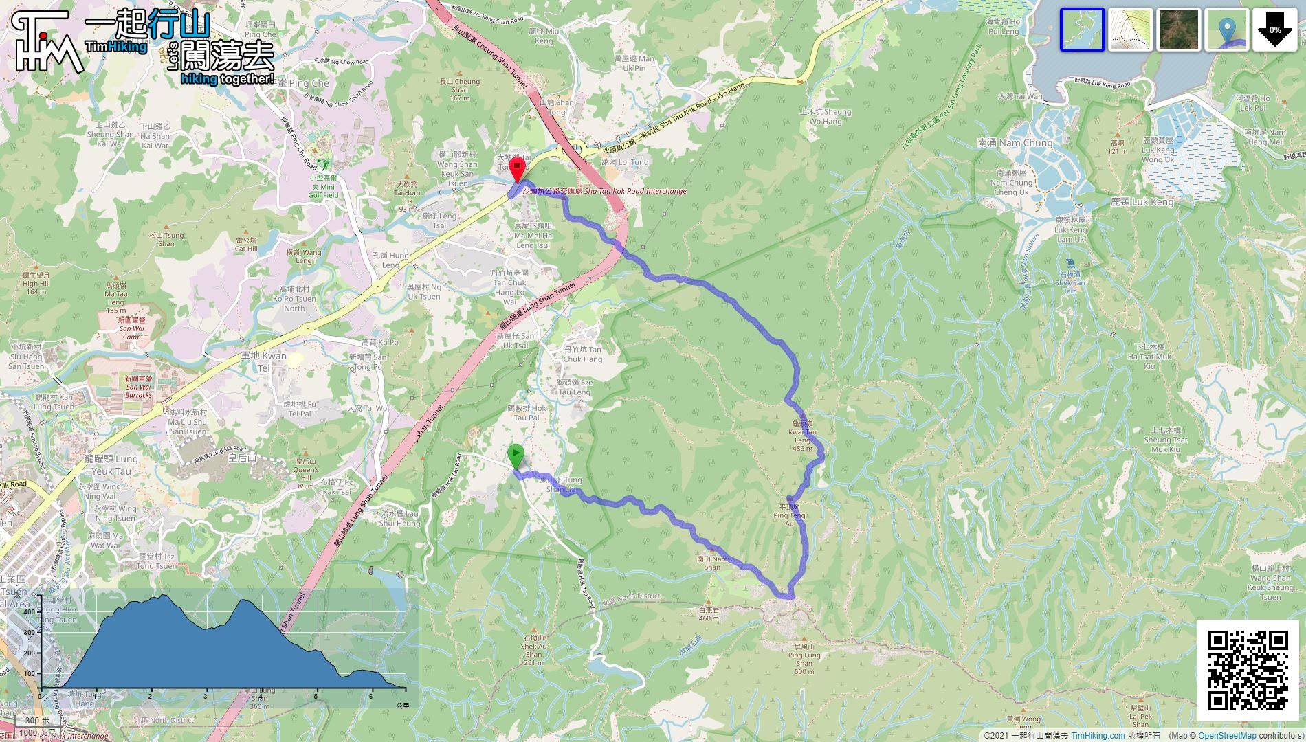
| View : |  | ||
| Difficulty : |  | ||
| Path : | |||
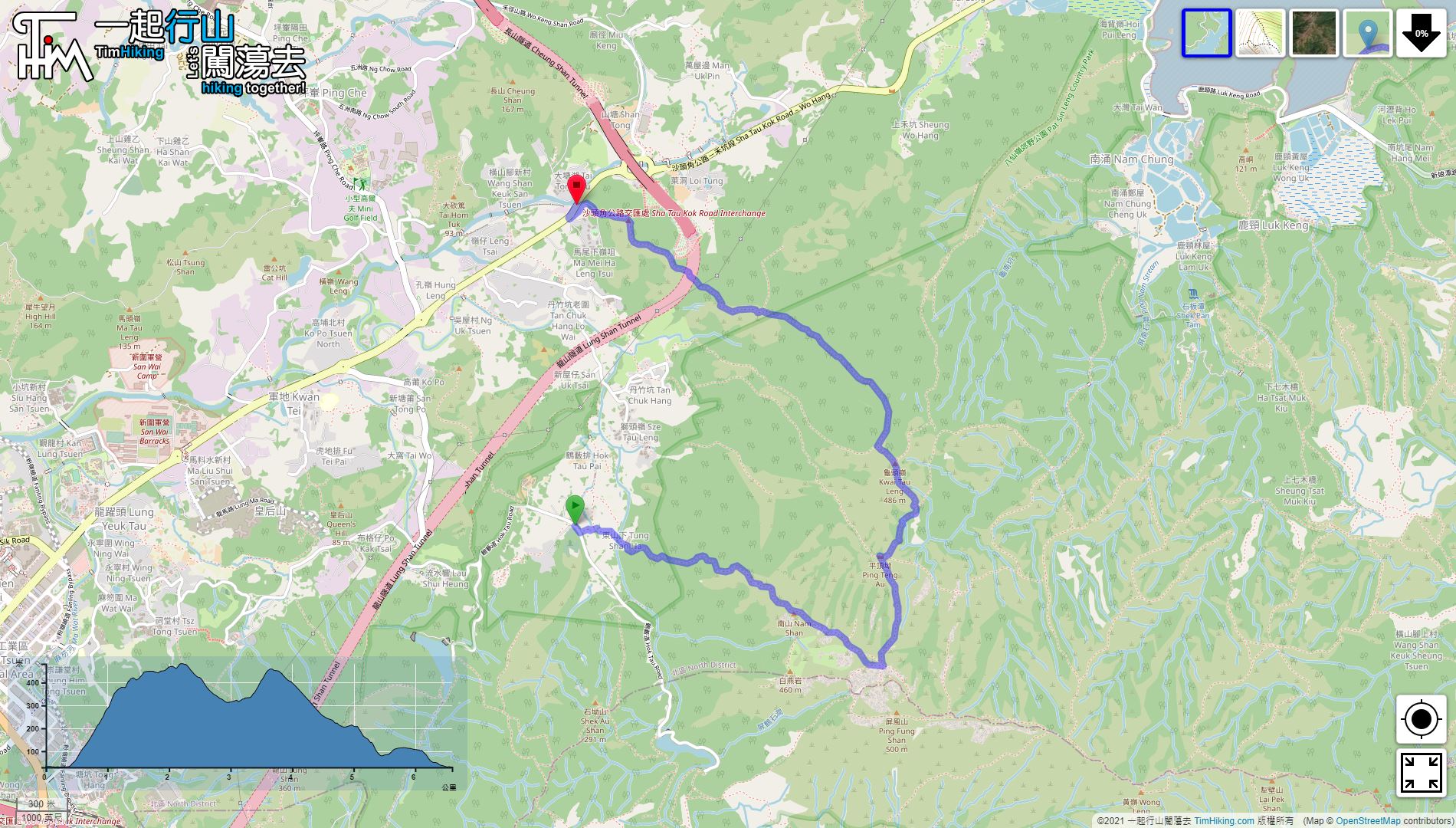
| Length : | 6.6km | ||
| Time : | 5½hours | ||
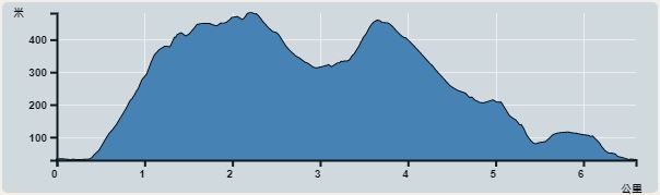 | |
| Ascent : 689m | Descent : 694m |
| Max : 482m | Min : 17m |
| (The accuracy of elevation is +/-30m) | |
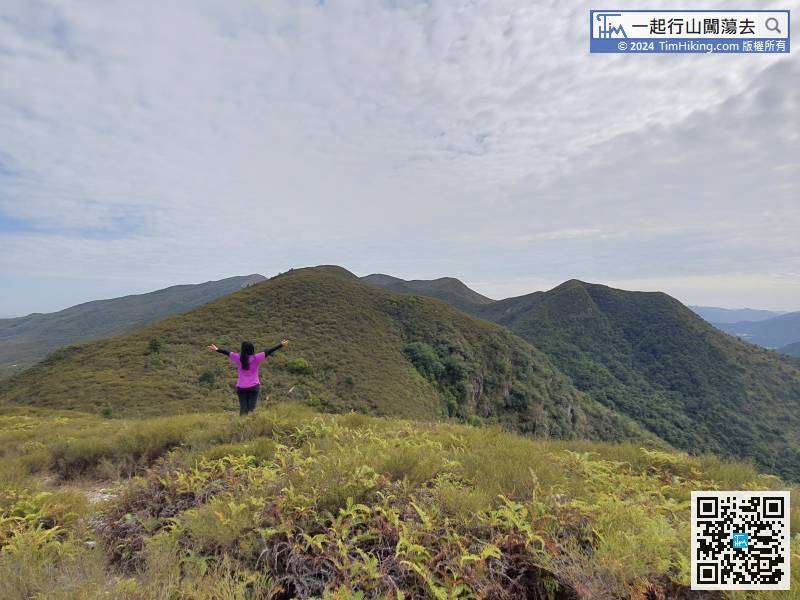
 Nam Shan

 4︰Under Tung Shan Store, keep to the left
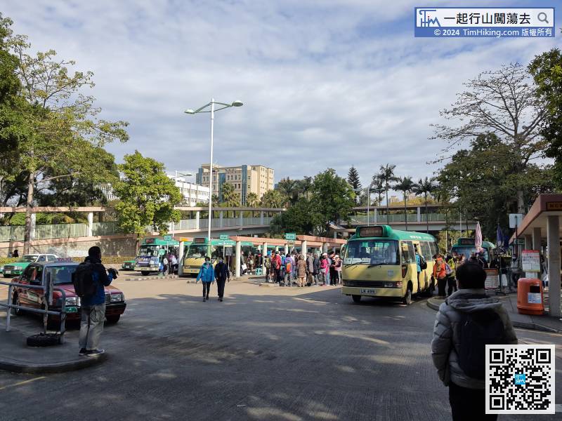
First, you have to get to Hok Tau. You can take a 52B minibus from Fanling
16︰First, go through a large bamboo forest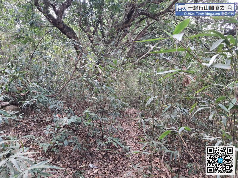 27︰There are no ribbons at all on some road sections,
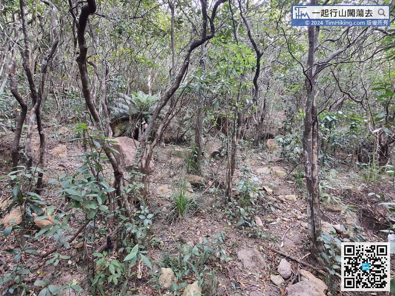 43︰There is a rope in the front of a large rock slope,
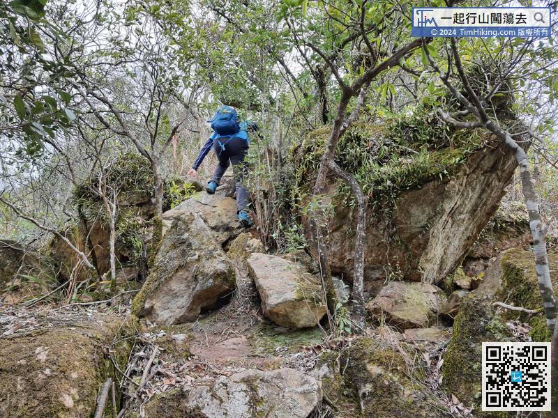 58︰and Nam Shan is right in front.
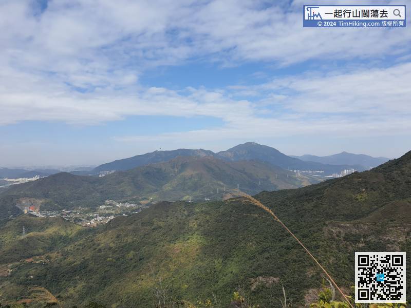
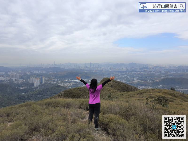
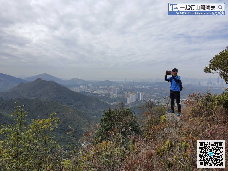
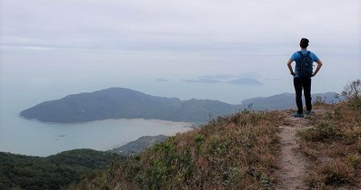
Overlooking the mountains, can see Shenzhen's Wutong Mountain,
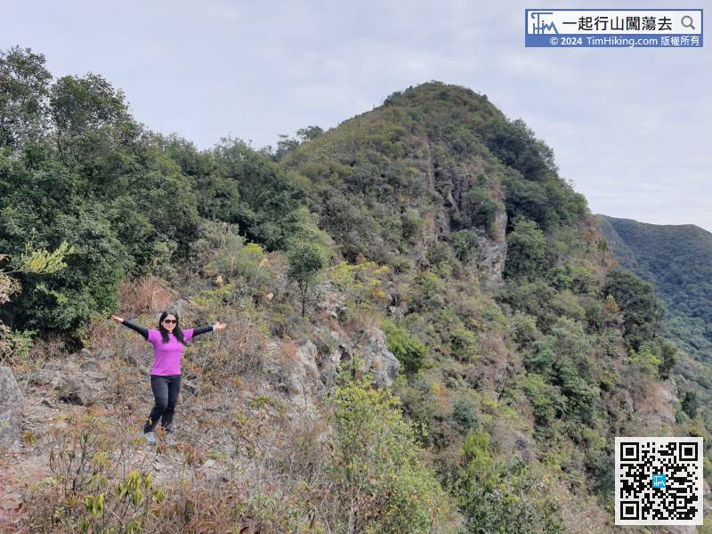
74︰Turn left at the bifurcation to go to Kwai Tau Leng,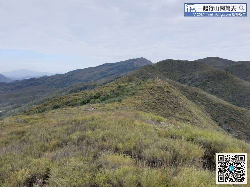
Next destination Kwai Tau Leng, continue to move horizontally from the other end,
84︰At this time, pay attention to the obvious barren trail on the left.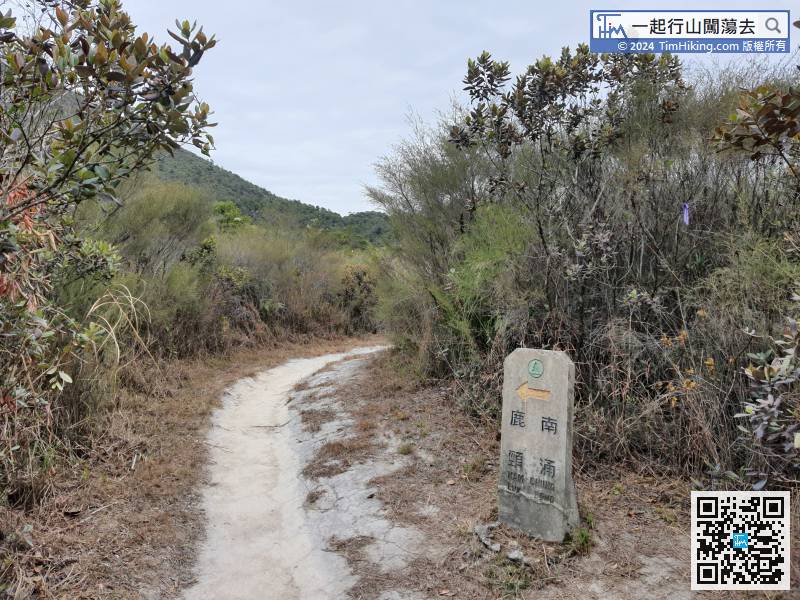 90︰Kwai Tau Leng has a trigonometrical station, and the scenery is vast.
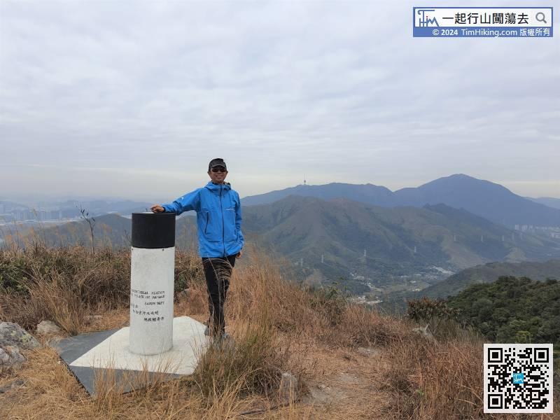
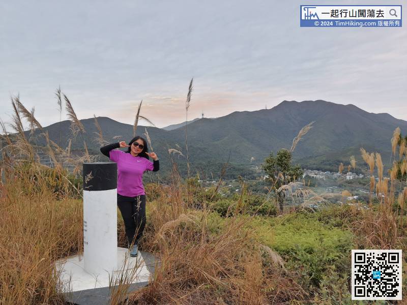
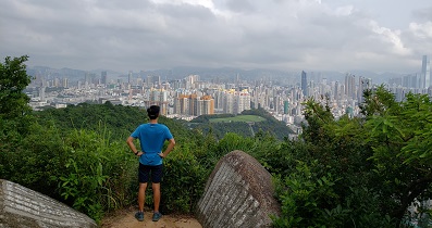
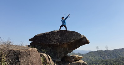
Kwai Tau Leng has a trigonometrical station, and the scenery is vast.
103︰After walking in the jungle for a total of about an hour, can see Cheung Shan Tunnel and Princess Hill are right in front.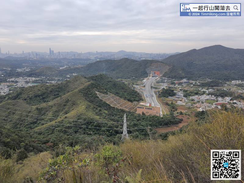
After walking in the jungle for a total of about an hour, can see Cheung Shan Tunnel and Princess Hill are right in front.
125︰Finally, return to the road,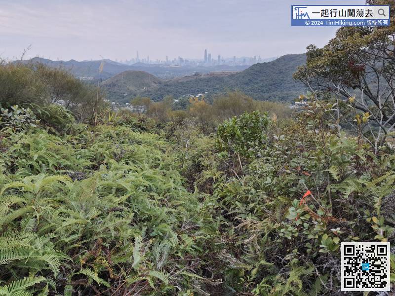


