


 Recommend YouTube


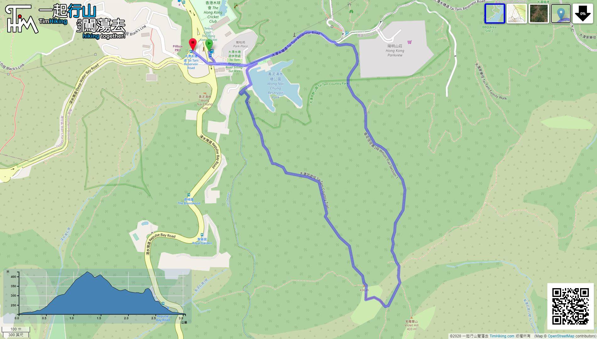
| View : |  | ||
| Difficulty : |  | ||
| Path : | |||
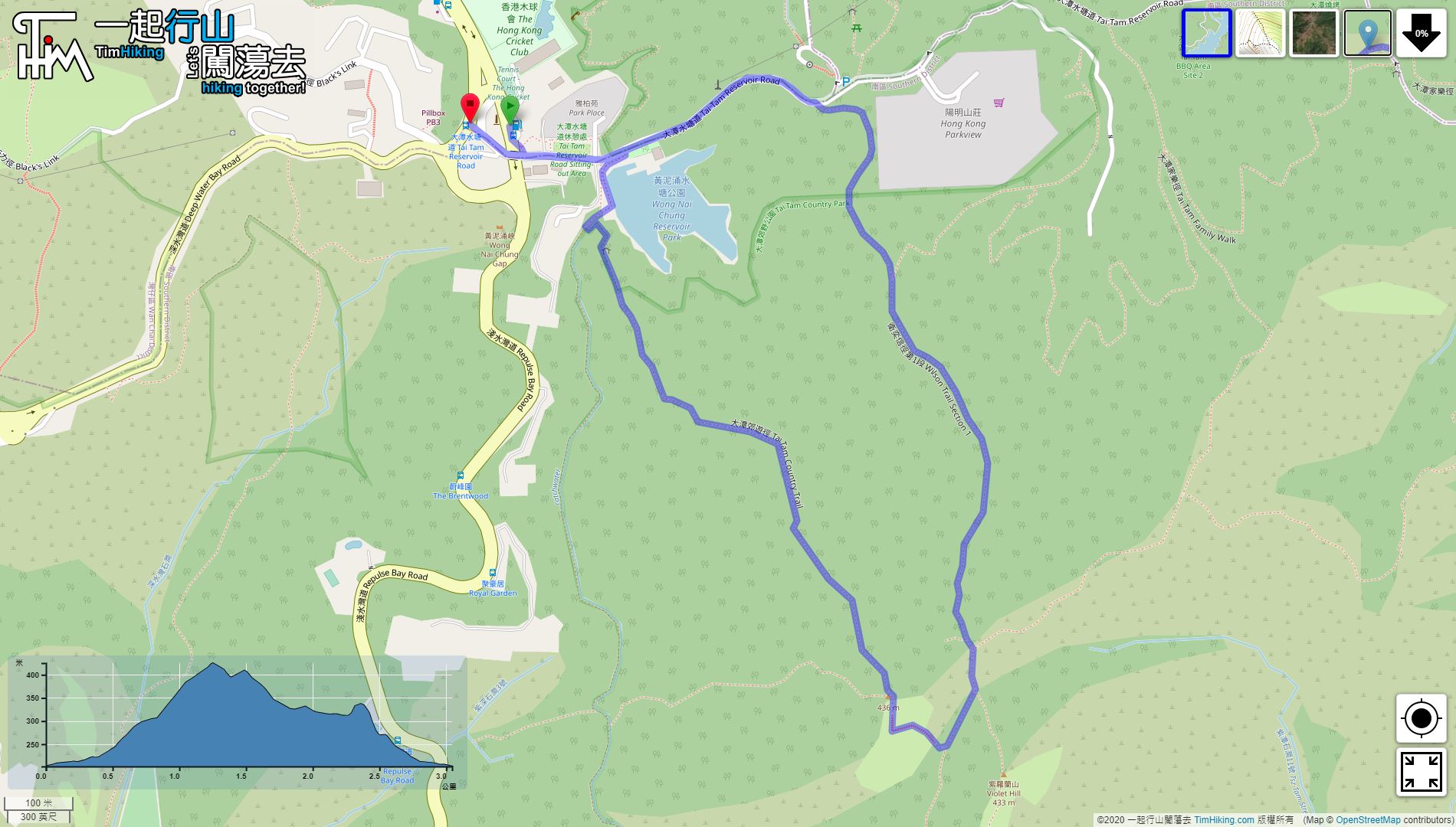
| Length : | 3.1km | ||
| Estimate : | 3hours | ||
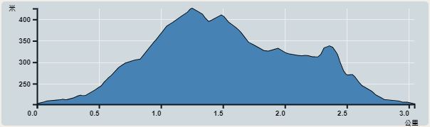 | |
| Ascent : 244m | Descent : 240m |
| Max : 425m | Min : 202m |
| (The accuracy of elevation is +/-30m) | |


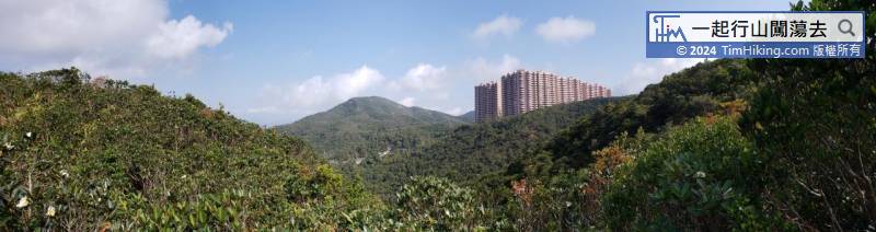
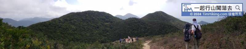
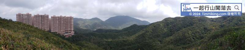
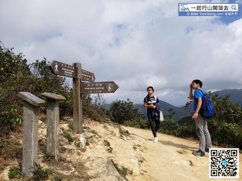
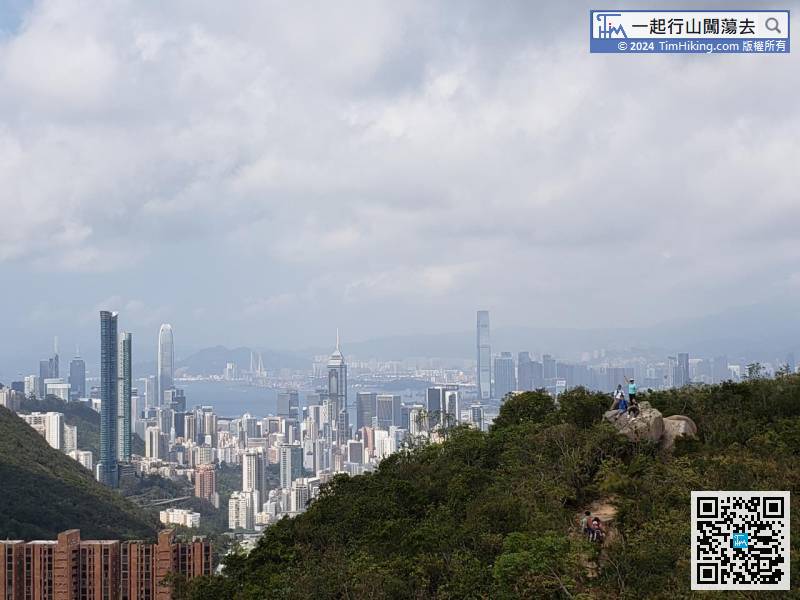
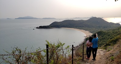
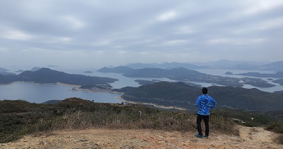
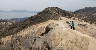
After exiting the gap, it is an ultra-wide scenery location. Go right to climb Violet Hill and The Twins, and go left to go to Hong Kong Parkview.


