


 Recommend YouTube


| View : |  | ||
| Difficulty : |  | ||
| Path : | |||
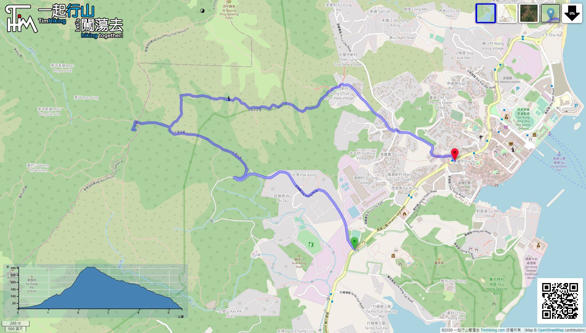
| Length : | 5.4km | ||
| Estimate : | 2½hours | ||
 | |
| Ascent : 297m | Descent : 297m |
| Max : 308m | Min : 11m |
| (The accuracy of elevation is +/-30m) | |


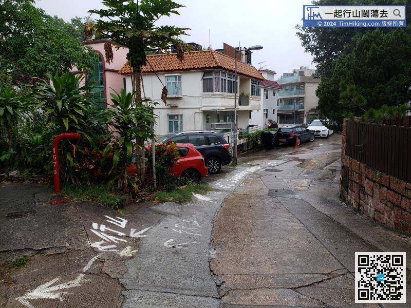
 9︰At the end is the entrance of Pak Kong Ancient Trail.
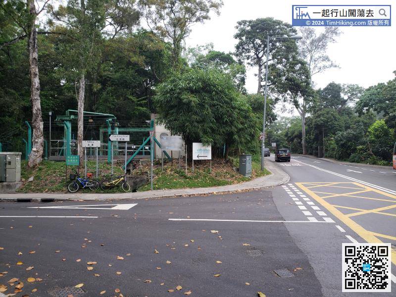
The starting point is Pak Kong. The most convenient way is to take the minibus 1/1A/1S/2/12/101M from Sai Kung Pier and get off at Pak Kong directly.
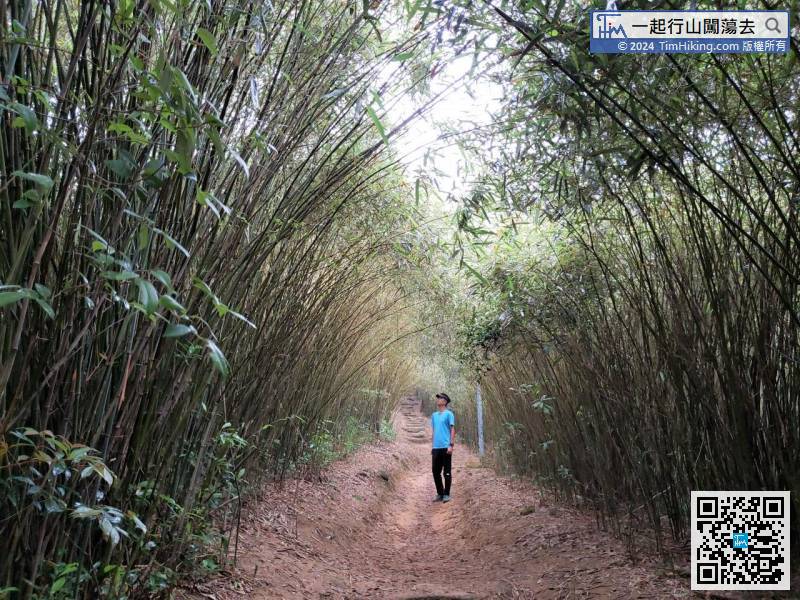
12︰After walking for 5 minutes only, begins to see the figure of the bamboo forest.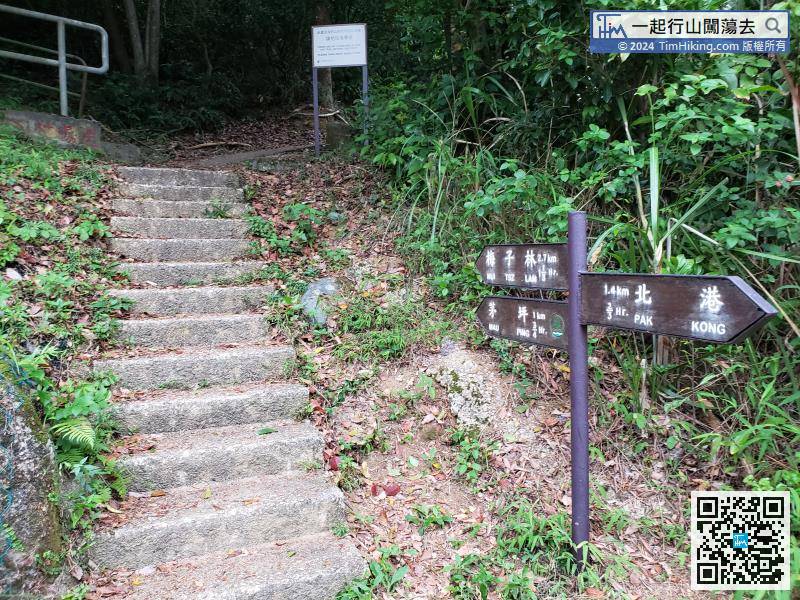 24︰turn left and walk towards the small grassland.
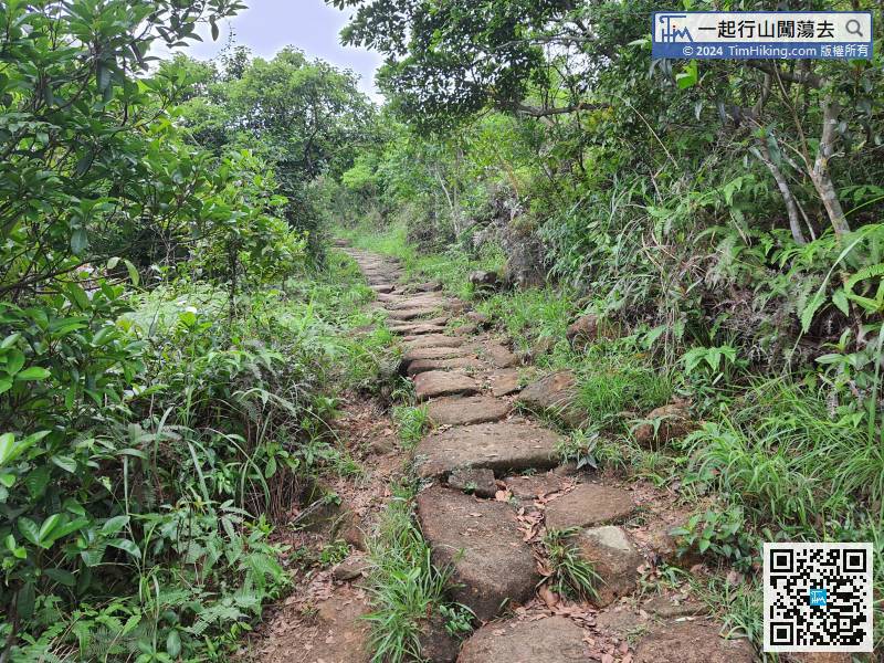
Leaving the Bamboo Tunnel, continue along the big stone-level ancient trail to Mau Ping.
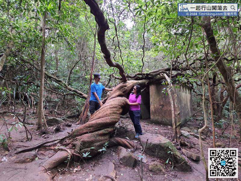
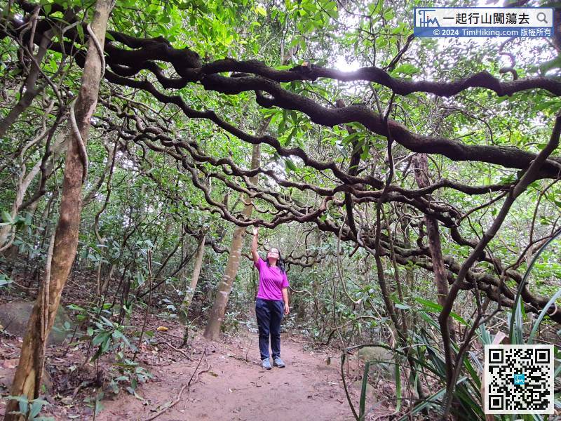
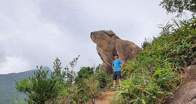
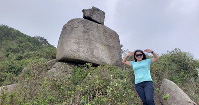
26︰The Giant Beans are criss-crossed, forming a Giant Bean Tunnel.


