


 Recommend YouTube


| View : |  | ||
| Difficulty : |  (Edge Climbing) | ||
 (Return via Trail) | |||
| Path : | |||
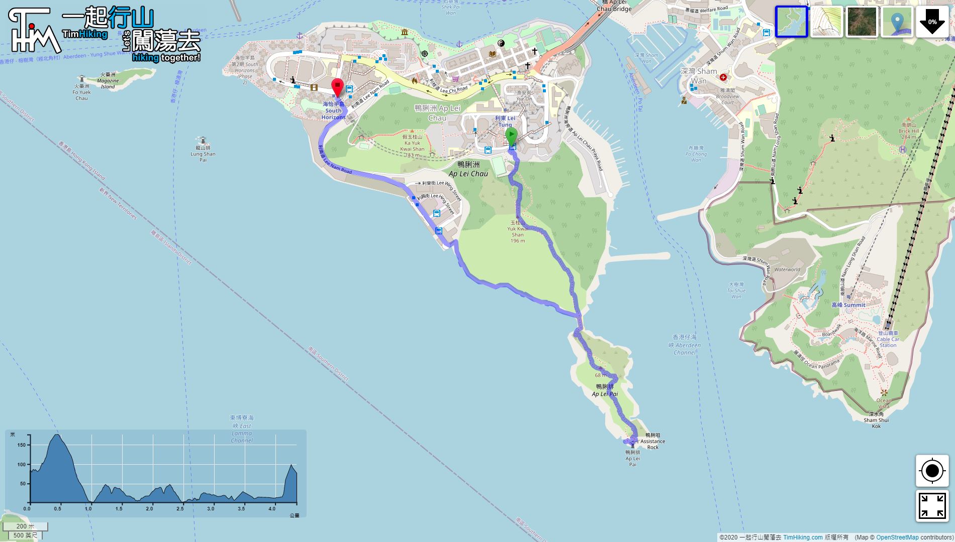
| Length : | 4.4km | ||
| Time : | 3½hours | ||
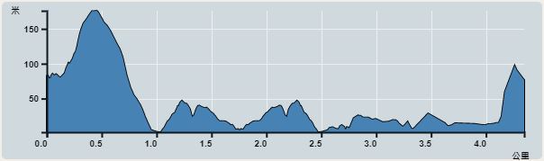 | |
| Ascent : 402m | Descent : 418m |
| Max : 176m | Min : 2m |
| (The accuracy of elevation is +/-30m) | |


 12︰On the other side, there is a warm reminder card in the middle, there are two paths on the left and right.
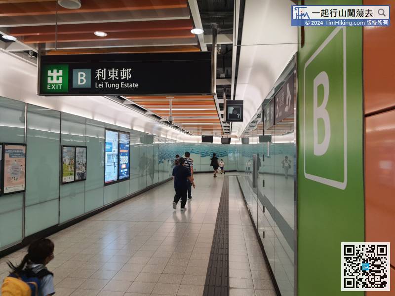
The starting point is at Ap Lei Chau. Now the transport is very convenient, just take the MTR to Lei Tung Station, then leave from Exit B,
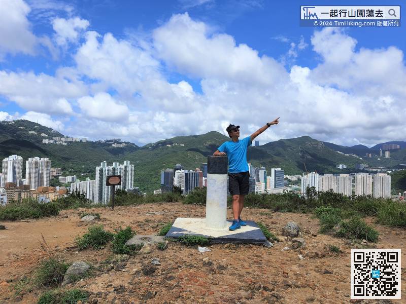
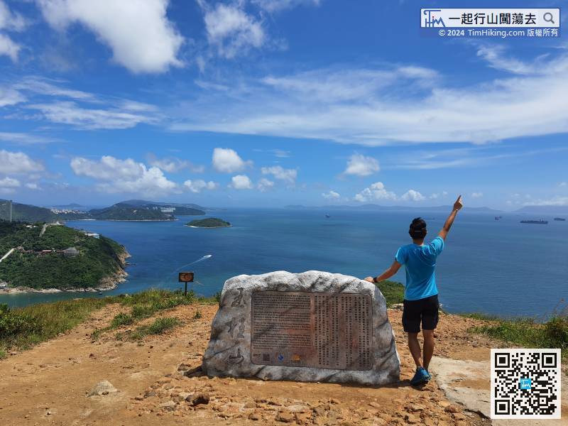
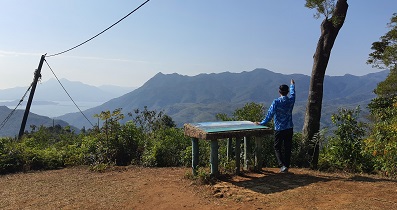
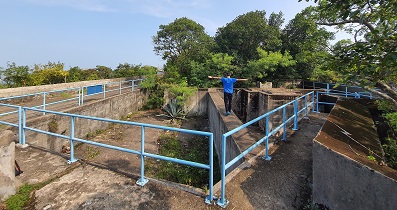
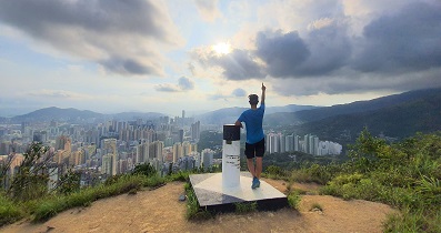
22︰There is a Trigonometrical Station on the top of Yuk Kwai Shan with a 360-degree view.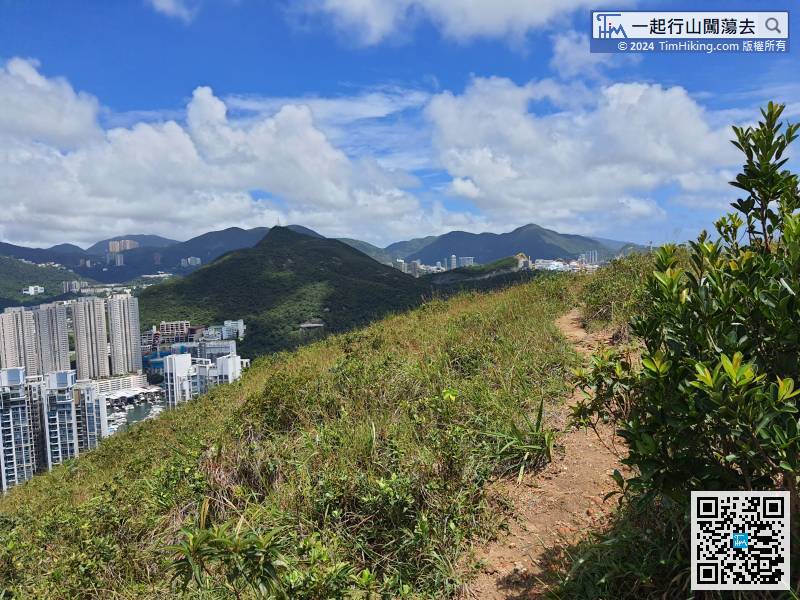
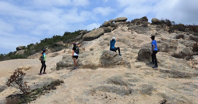
After climbing to the top, pay attention to the trail on the left. For hikers who do not edge climbing, just downhill on the left, this trail is much gentler.
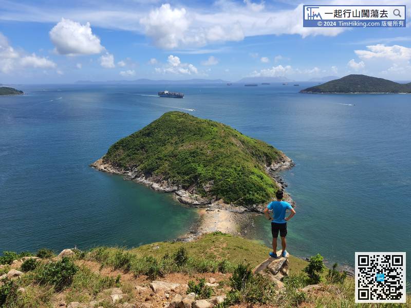
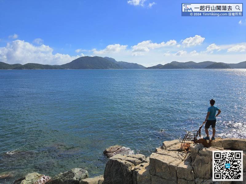
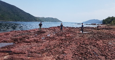
33︰Ap Lei Pai is in front, the tombolo is basically not flooded, but it is filled with a lot of marine debris.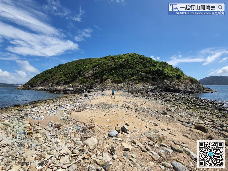
Ap Lei Pai is in front, the tombolo is basically not flooded, but it is filled with a lot of marine debris.
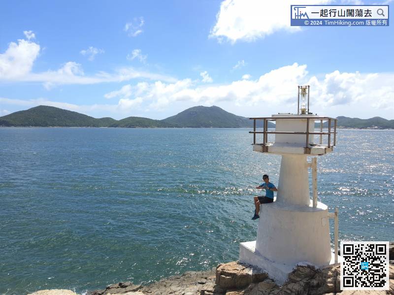
50︰while taking photos, admiring the beautiful scenery, and take a break. 65︰The day of shooting was lower tide, the Chart Datum was only 0.5 meters, and the water level was relatively low.
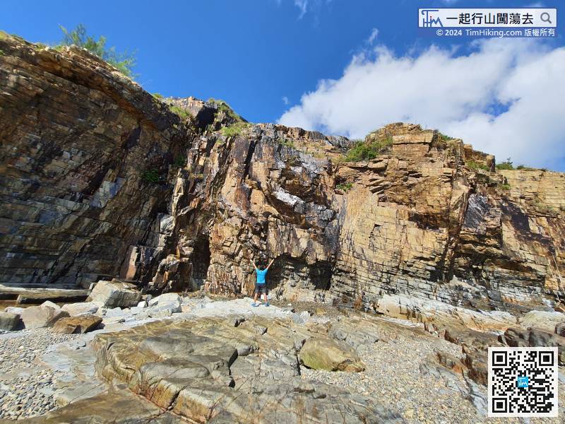
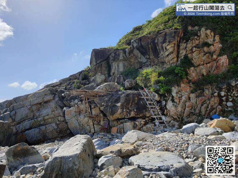
The straight cliff in front is magnificent, a bit like Lei Yue Mun Quarry.


