


 Recommend YouTube


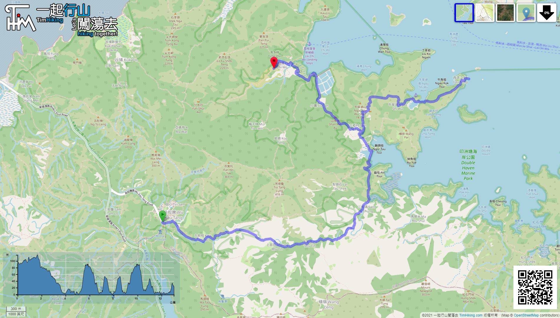
| View : |  | ||
| Difficulty : |  | ||
| Path : | |||
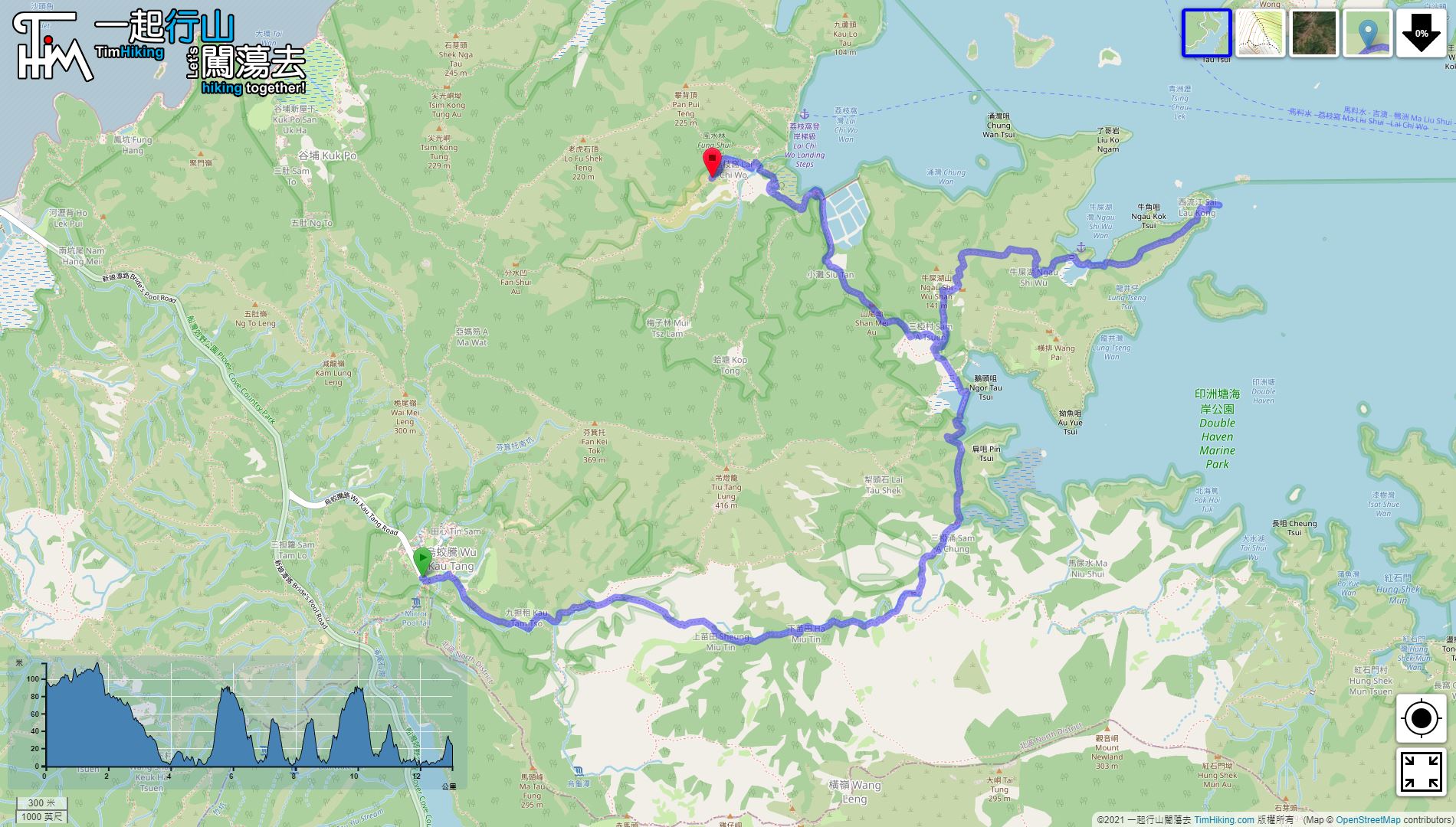
| Length : | 13.1km | ||
| Estimate : | 5½hours | ||
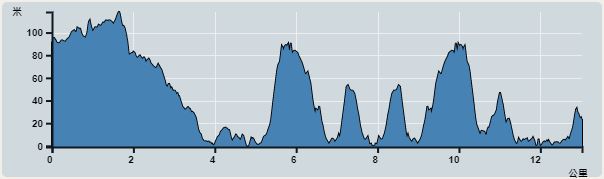 | |
| Ascent : 318m | Descent : 384m |
| Max : 118m | Min : 0m |
| (The accuracy of elevation is +/-30m) | |


 Store
Store
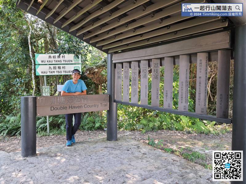
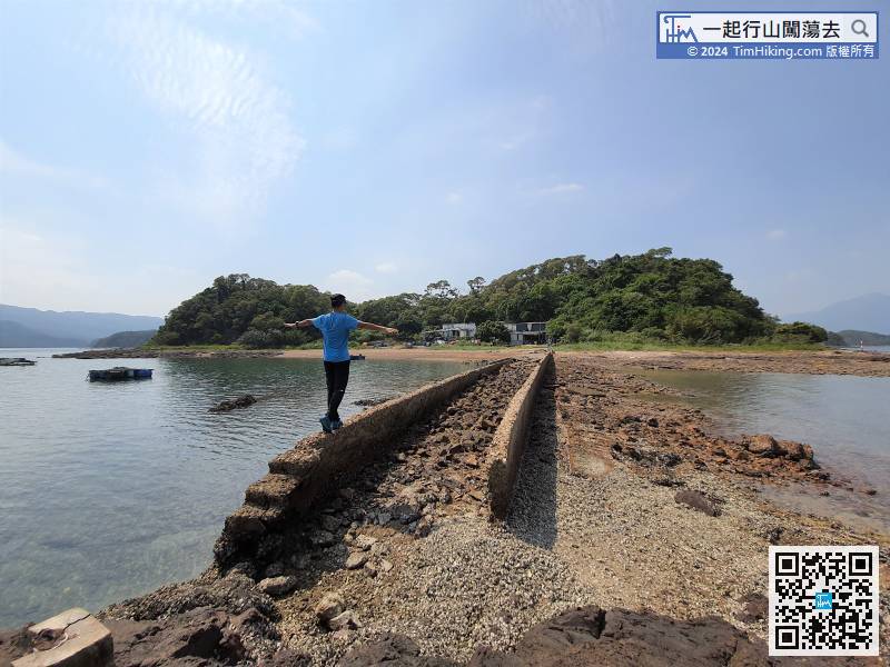
 9︰After that, come to the small plain of Kau Tam Tso.
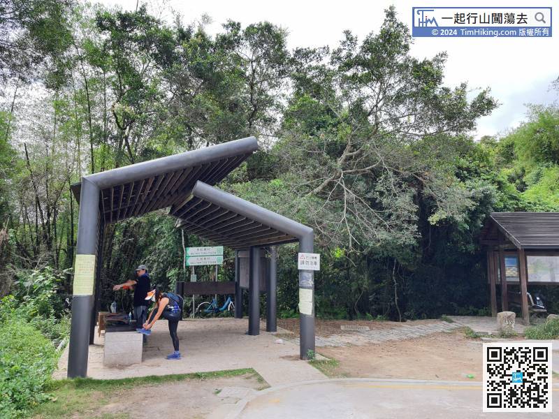
After getting off at the end of Wu Kau Tang Road, there is a car park with a new large pavilion next to it,
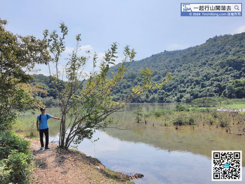
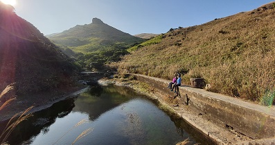
23︰walked along the side of the stream,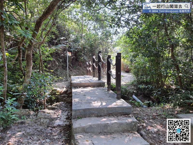 37︰which is Sam A Chung.
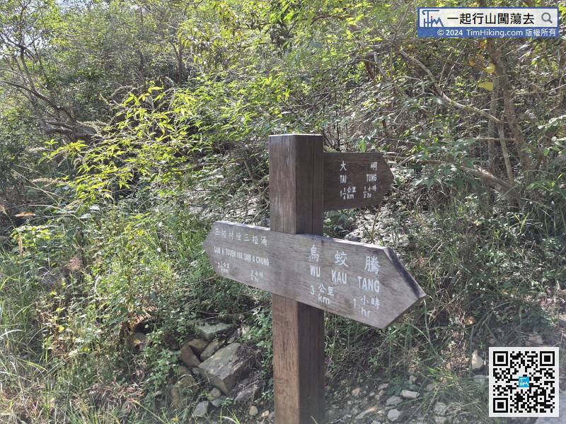
The sign on the Country Trail is very clear, it is not easy to get lost.
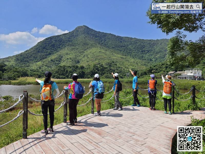
44︰Take a short break in Sam A Wan.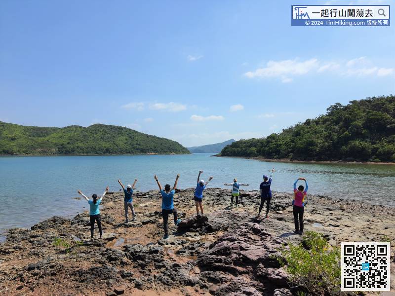 61︰After a short break, starting the journey of Sai Lau Kong.
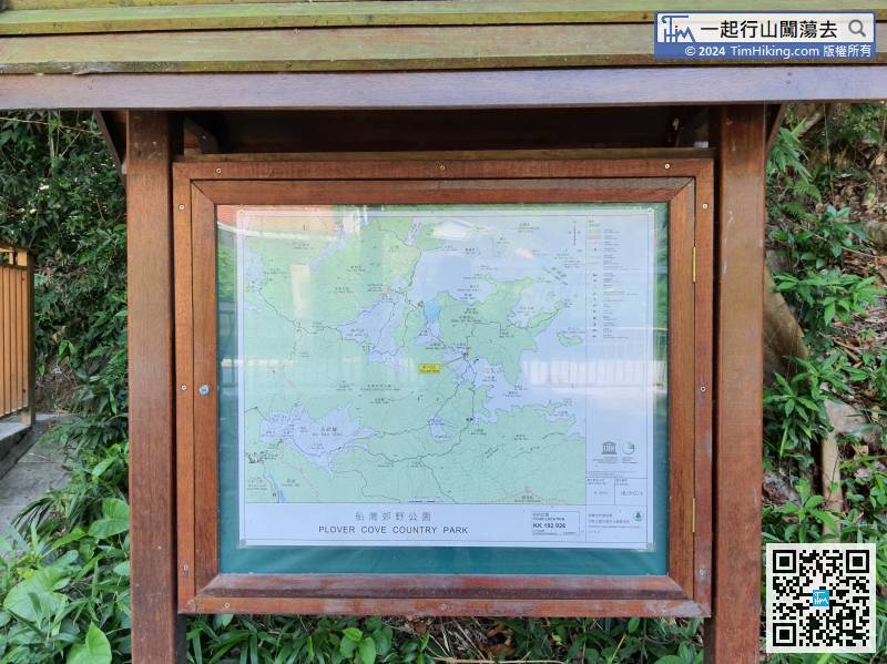
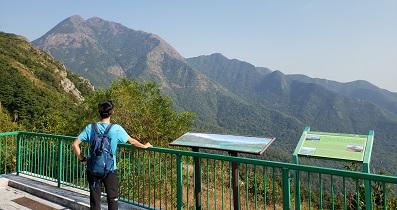
There is a clear map bulletin board at the intersection,
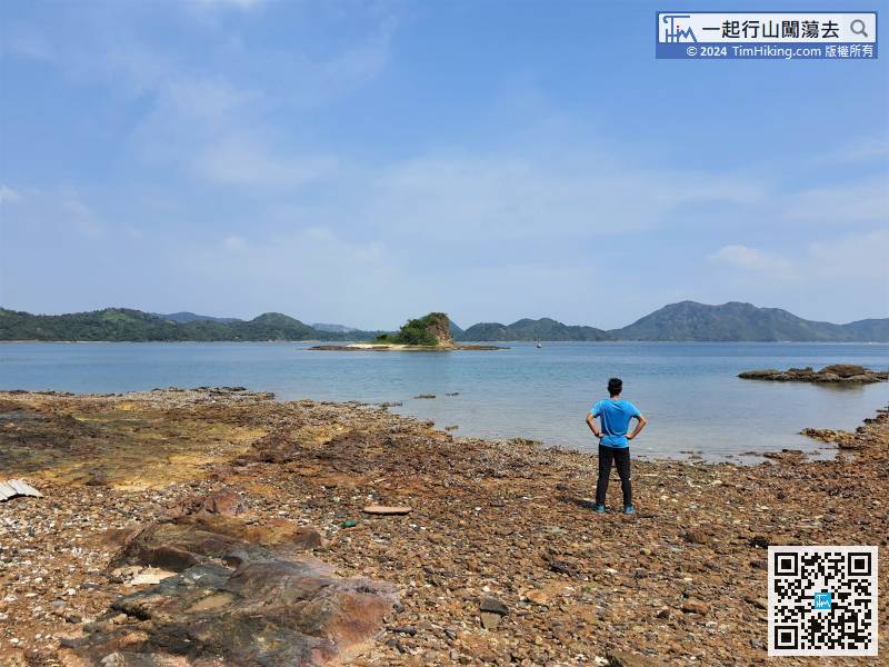
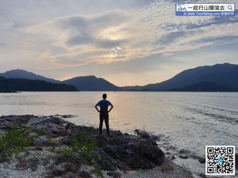
76︰on the left is Ngau Shi Wu Wan.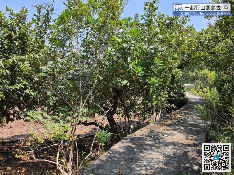 94︰Suddenly, the scenery becomes extremely open, and the Six Treasures of Double Haven appear at the same time.
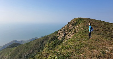
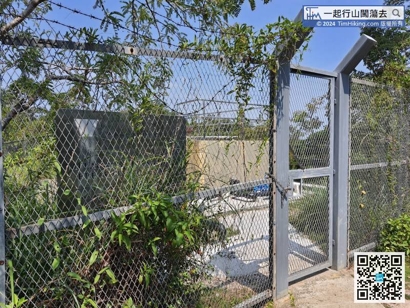
Up to the top of the mountain, will find the Sai Lau Kong water decompression tank surrounded by barbed wire.
107︰Just walking around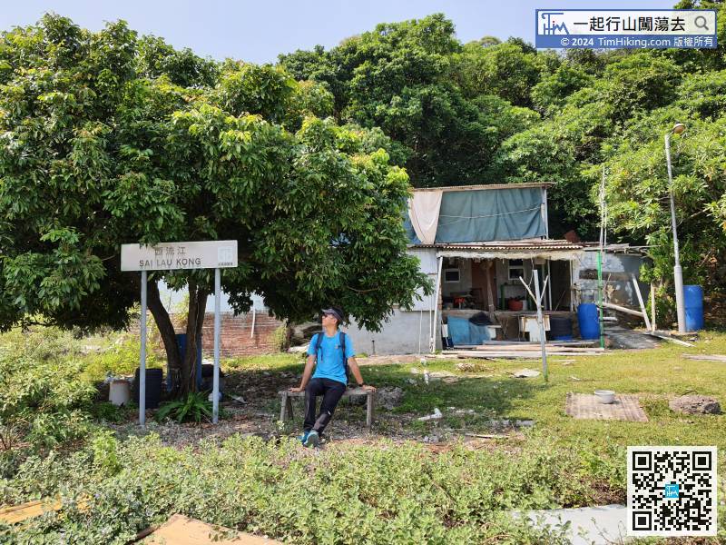
Sai Lau Kong Village currently still has several villagers living in it.
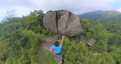
125︰It is a luxury mountain trail, a part is built with big rocks.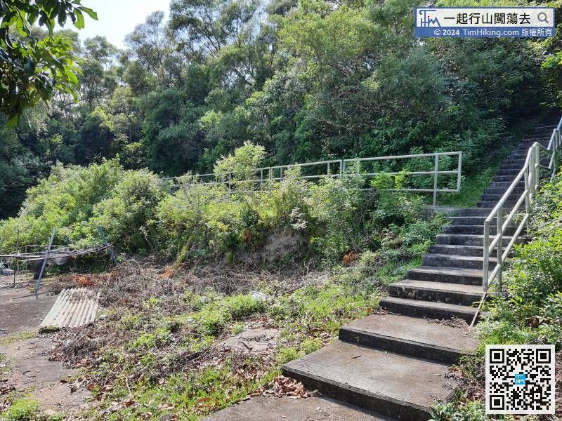
After the break, return on the same road,
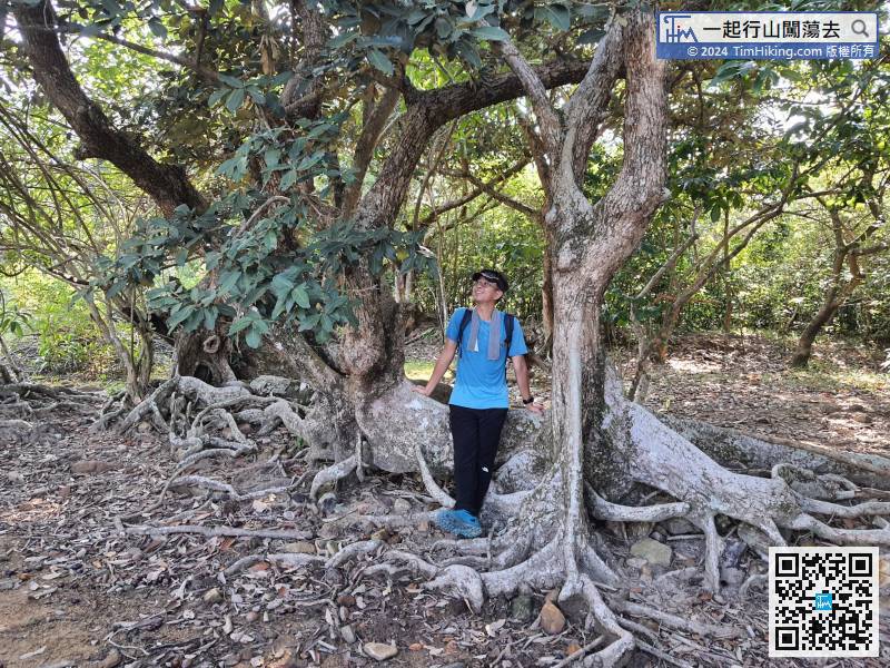
141︰can see the Autumn Maple Tree with Hollow,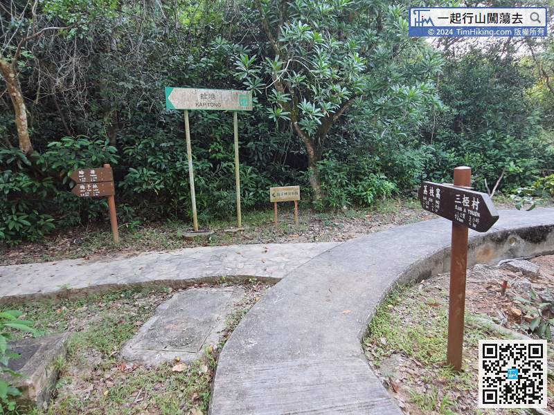
Continue along the gravel trail and keep going to Lai Chi Wo at the bifurcation.


