


 Recommend YouTube
 Pak Ngam Trail, Pak Ngok Ha Trail

| View : |  | ||
| Difficulty : |  | ||
| Path : | |||
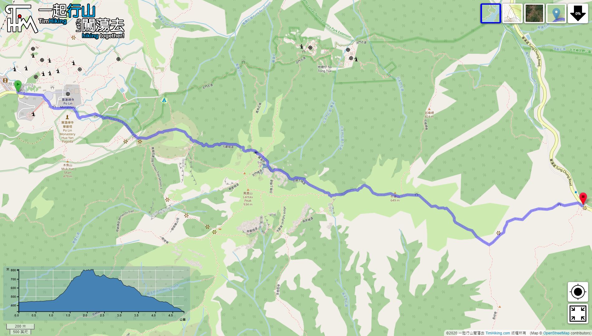
| Length : | 4.9km | ||
| Time : | 4hours | ||
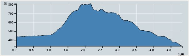 | |
| Ascent : 488m | Descent : 588m |
| Max : 810m | Min : 332m |
| (The accuracy of elevation is +/-30m) | |


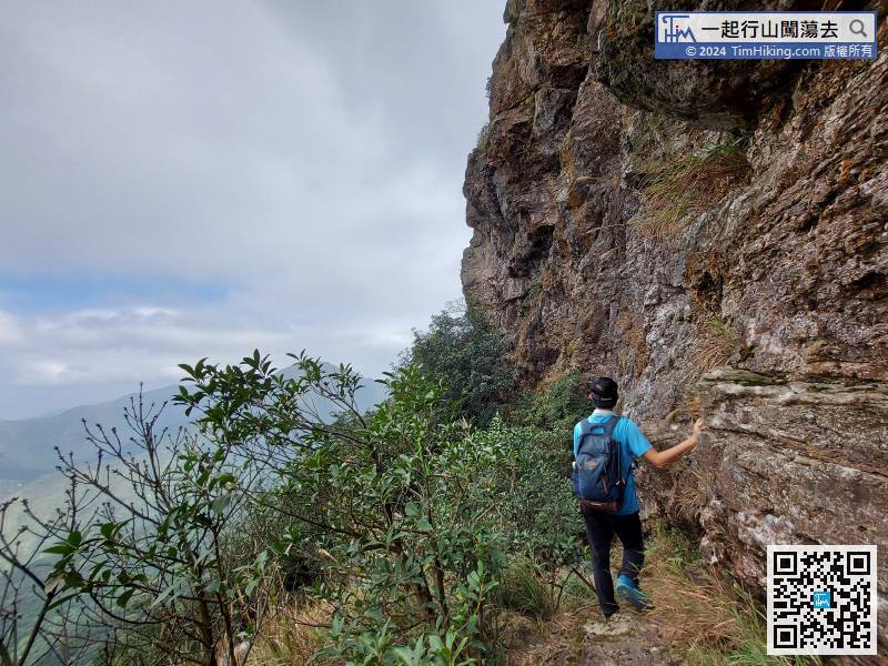
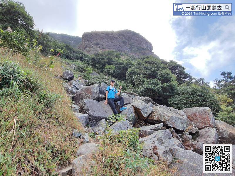
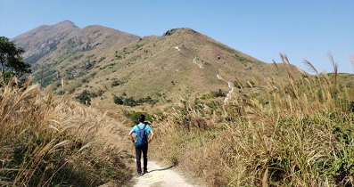
 9︰The entrance is an obvious barren trail.
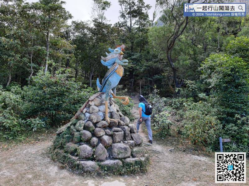 29︰and it is inevitable to walk on the edge of the cliff.
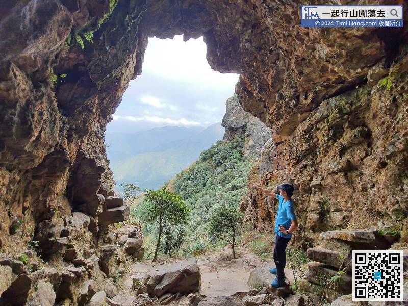
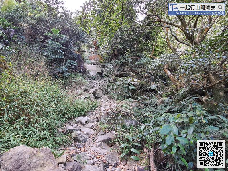 34︰will come to a narrow path, the appearance is similar as Cartoon Mouse Rock Seam on Nam Ngam Trail
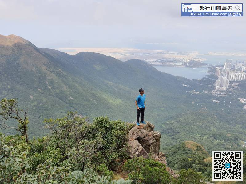
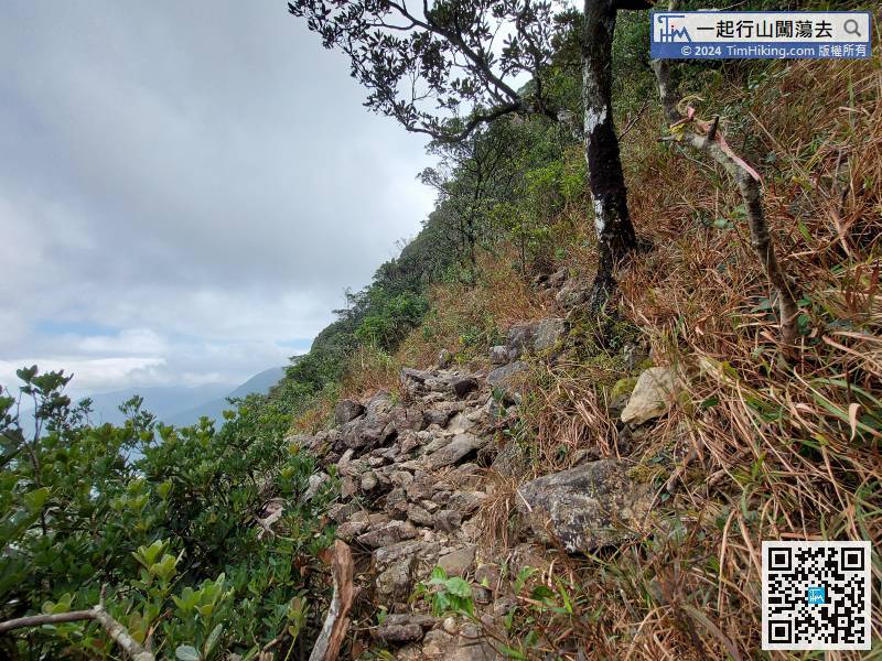 44︰The small mountain on the front is Law Hon Tower,
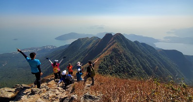
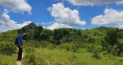
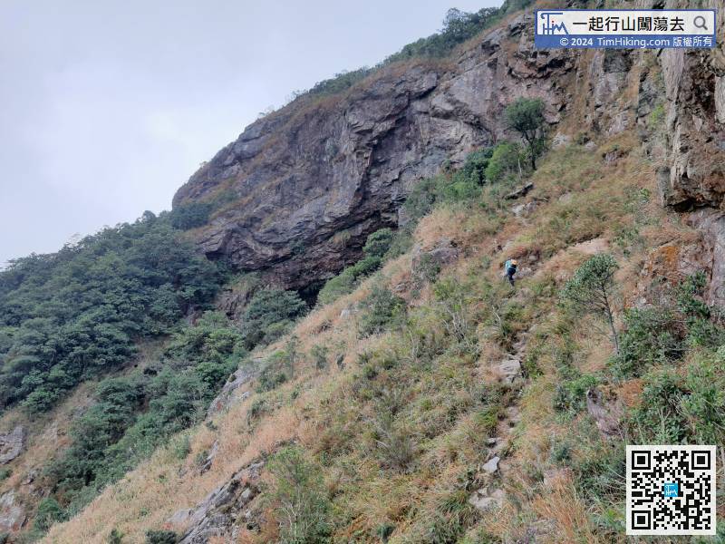 46︰There are three main routes to One Tree Cave. In addition to this Pak Ngam Trail, can also go through Law Hon Ridge or Fung Niu Shek Ridge.
There are three main routes to One Tree Cave. In addition to this Pak Ngam Trail, can also go through Law Hon Ridge or Fung Niu Shek Ridge.
62︰When seeing the Lantau Trail, Pak Ngok Ha Trail is also over.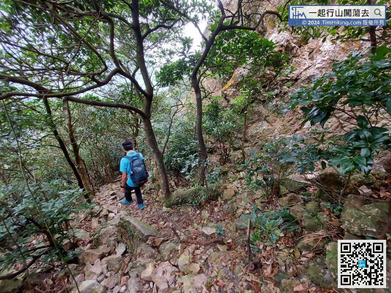 66︰There is a magnificent canyon in the location, which is the South Heaven Gate.
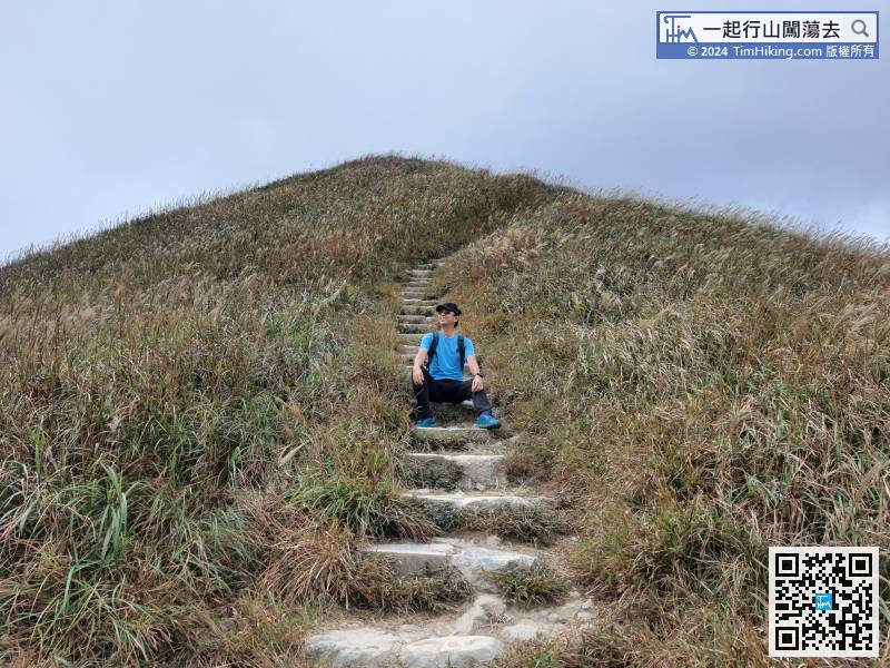
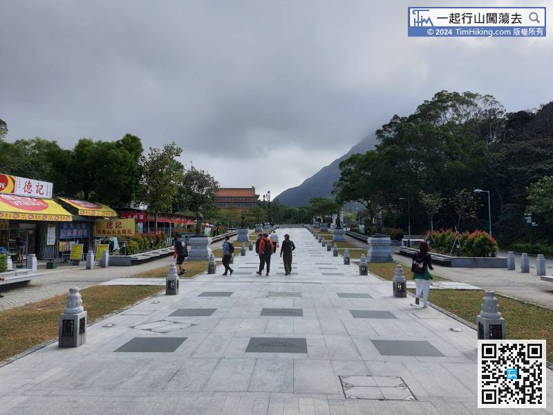
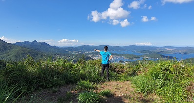
After completing the two High-Risk trails, can take a break on the Lantau Trail, replenish your energy, and then start downhill.
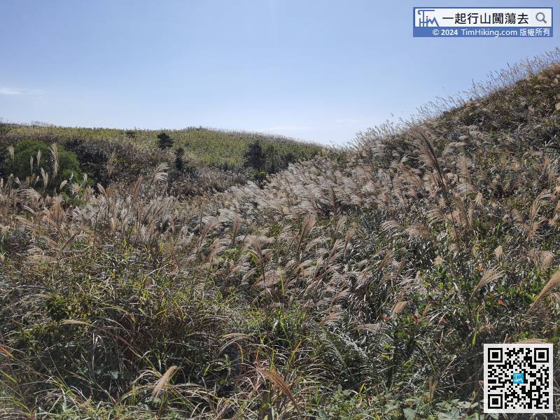
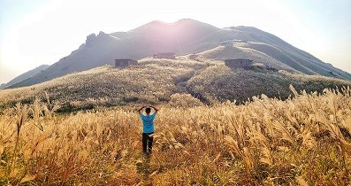
If the season is right, can see a large patch of miscanthus fluttering in the wind.


