


 Recommend YouTube


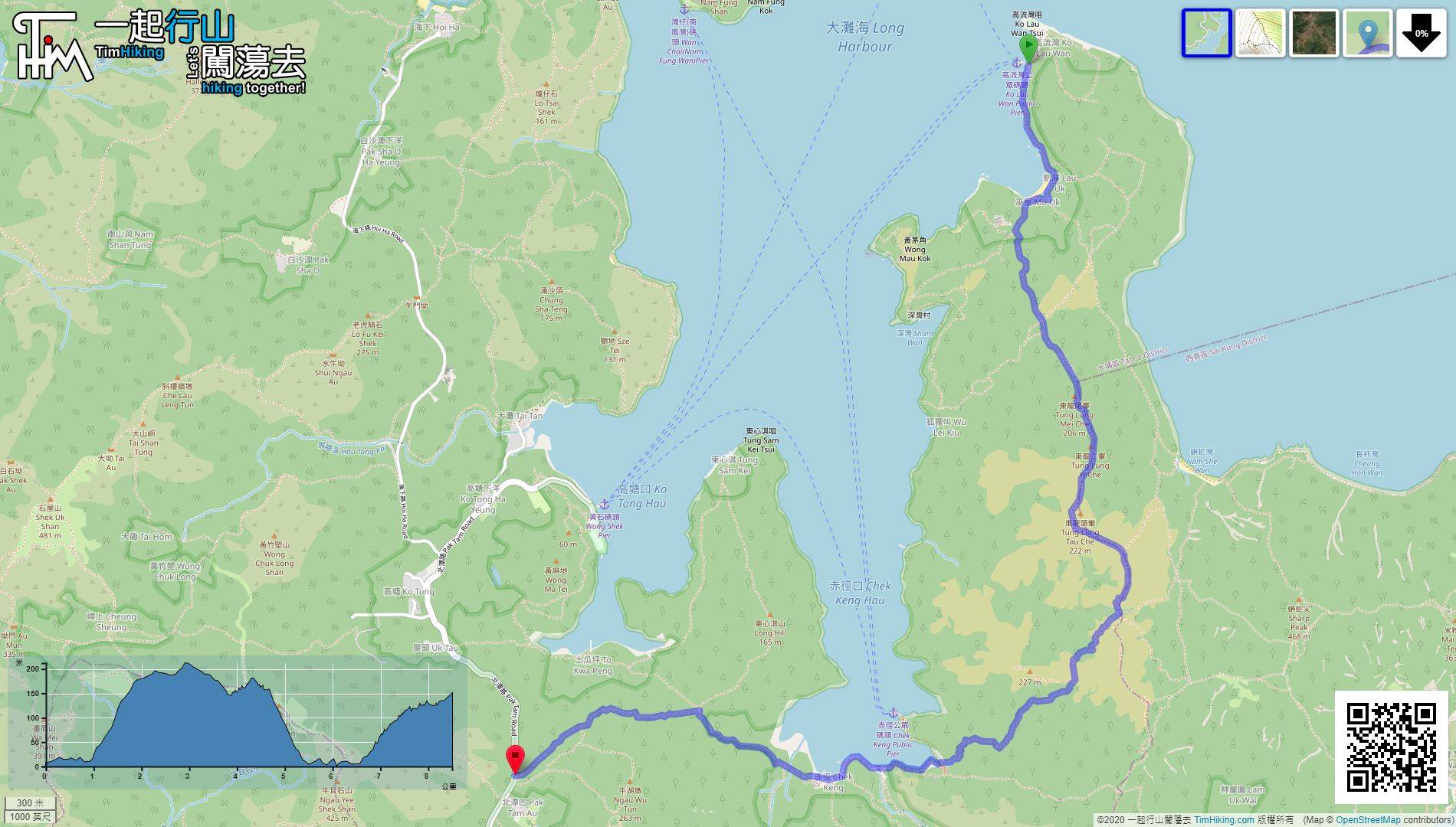
| View : |  | ||
| Difficulty : |  | ||
| Path : | |||
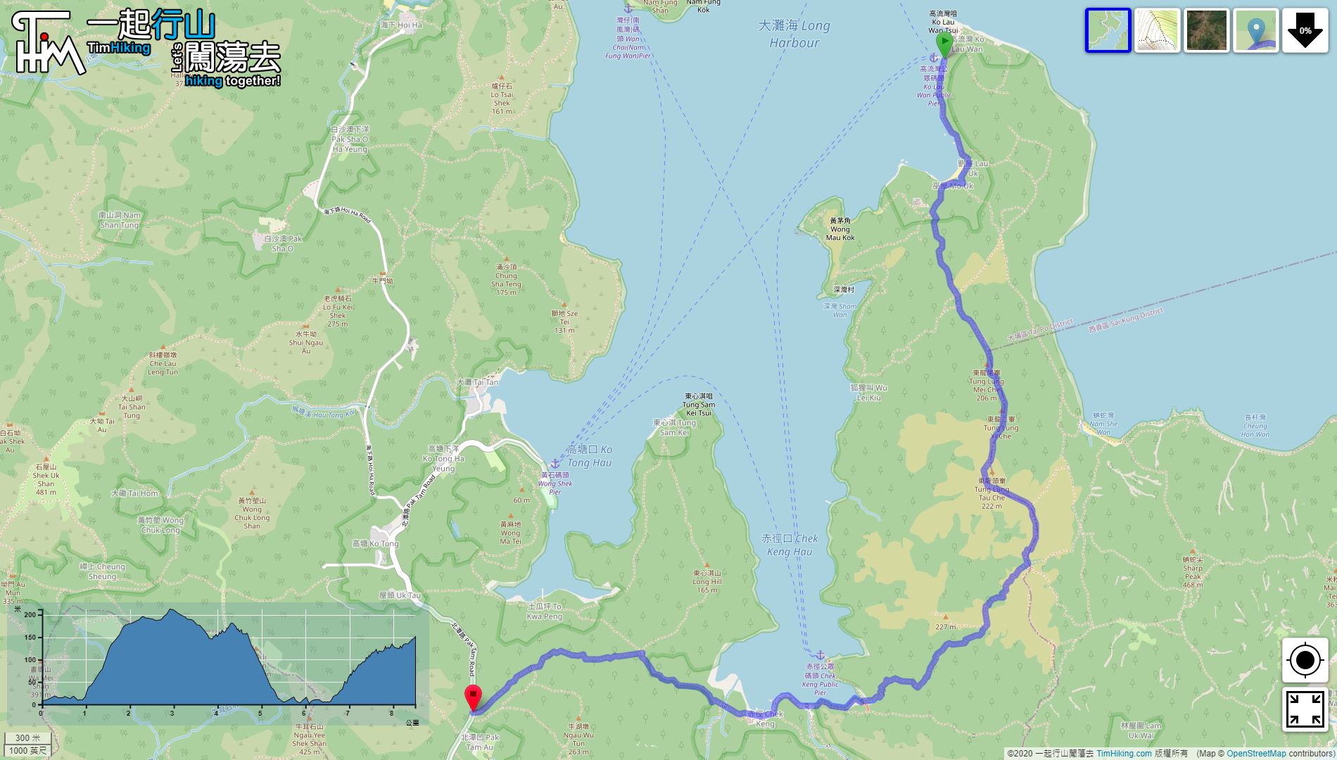
| Length : | 8.5km | ||
| Estimate : | 4hours | ||
 | |
| Ascent : 371m | Descent : 237m |
| Max : 212m | Min : 0m |
| (The accuracy of elevation is +/-30m) | |


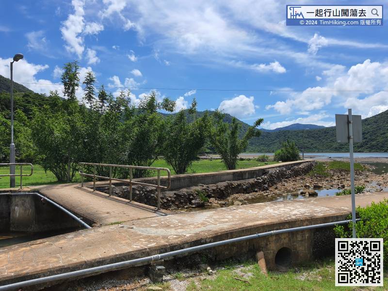
 12︰turn right and cross the creek.
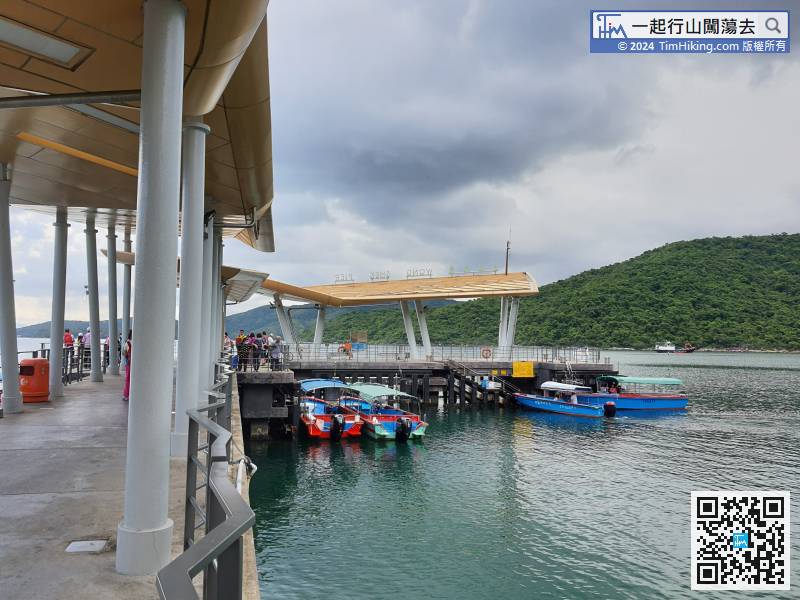
To go to Tung Lung Yi Che, you must first go to Ko Lau Wan by taking Kaito at Wong Shek Pier or Ma Niao Shui.
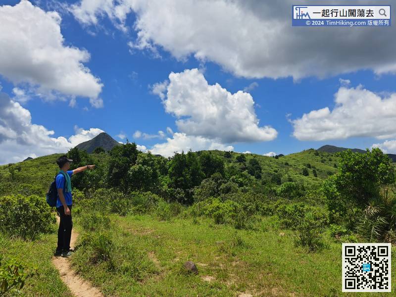
20︰The trails inside are very obvious, 26︰When coming to the next obvious bifurcation, be careful to turn left. Keep right is the way to called by the Wu Lei Kiu.
When coming to the next obvious bifurcation, be careful to turn left. Keep right is the way to called by the Wu Lei Kiu.
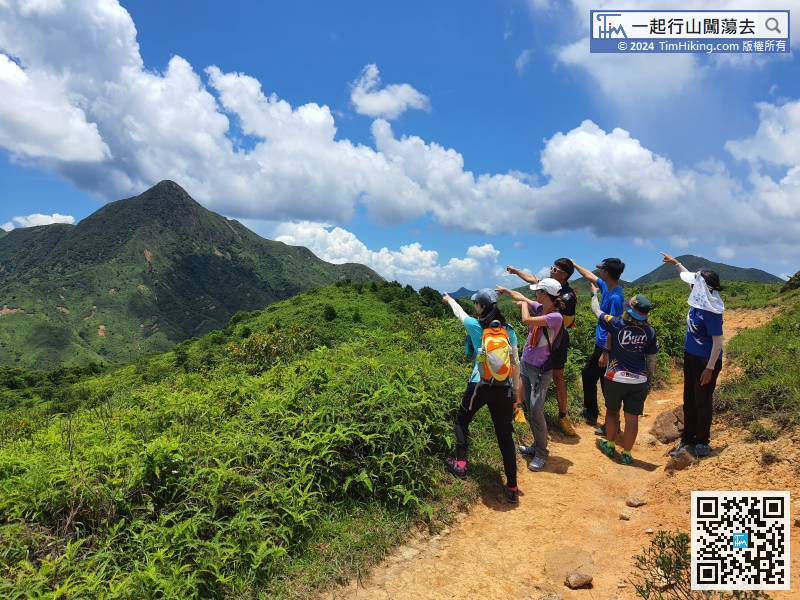
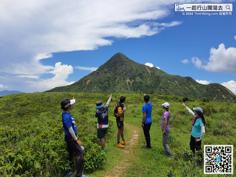
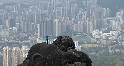
38︰In front is the most beautiful view of this route,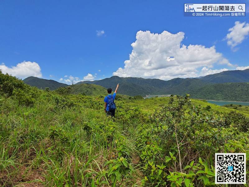
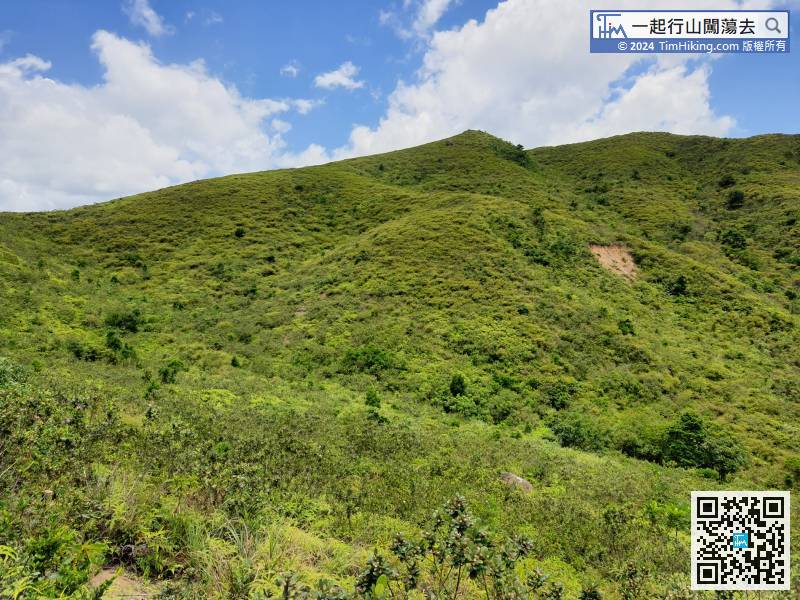
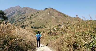
The mountain on the right is Mount 227, a mountain with no name and 227 meters in height.


