


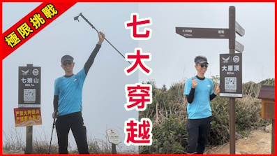
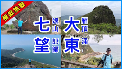
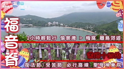
 Recommend YouTube


| View : |  | ||
| Difficulty : |  | ||
| Path : | |||
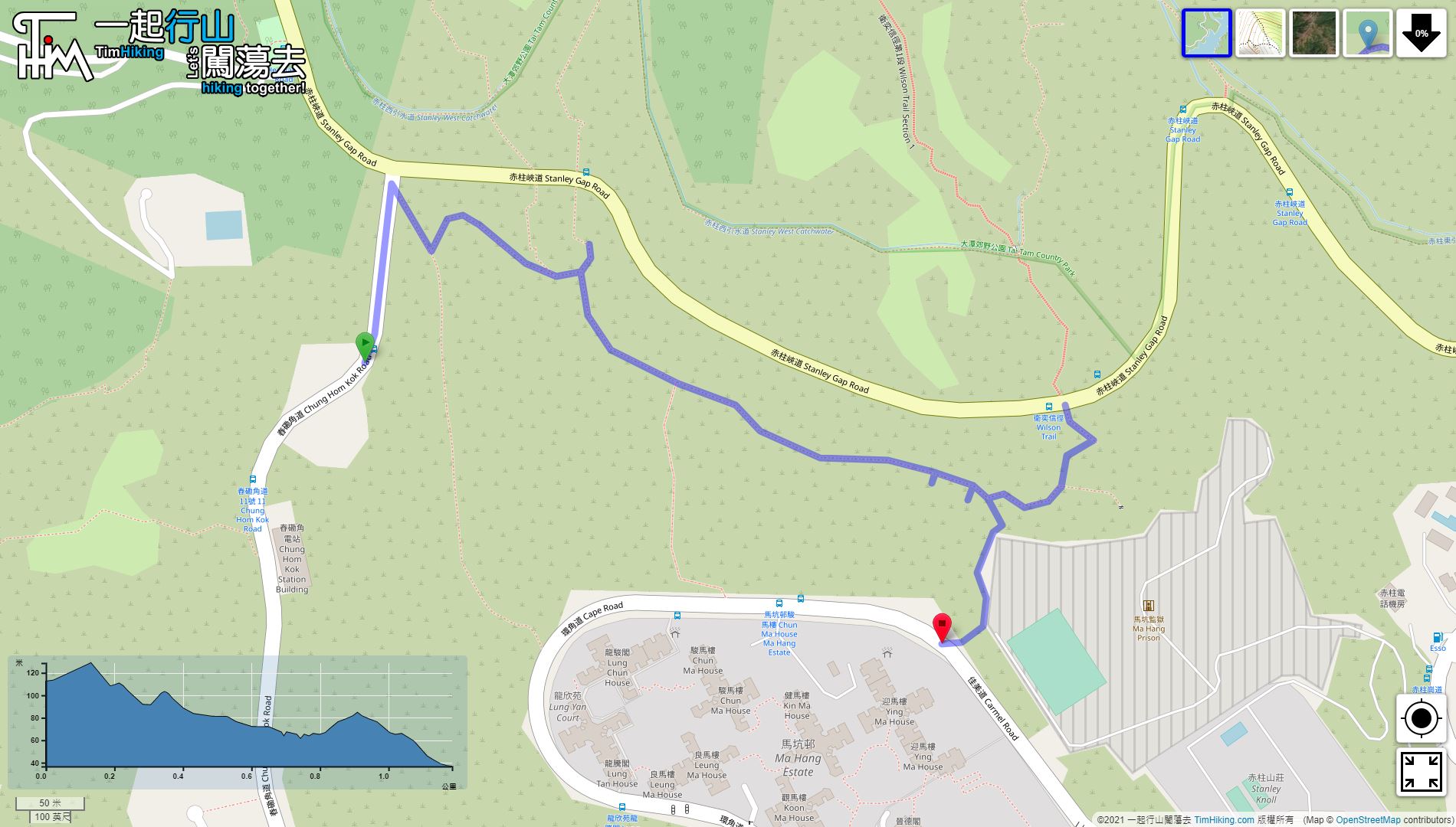
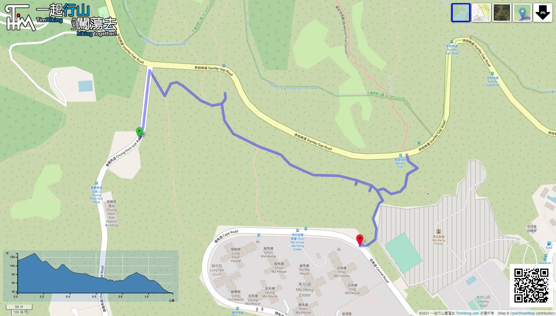
| Length : | 1.2km | ||
| Time : | 1hours | ||
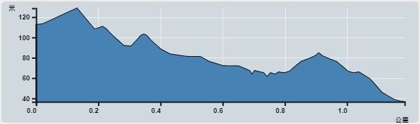 | |
| Ascent : 62m | Descent : 133m |
| Max : 129m | Min : 37m |
| (The accuracy of elevation is +/-30m) | |


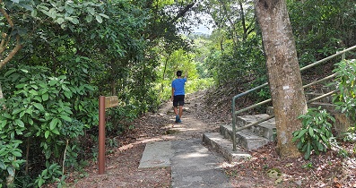
 4︰and will see stairs down.
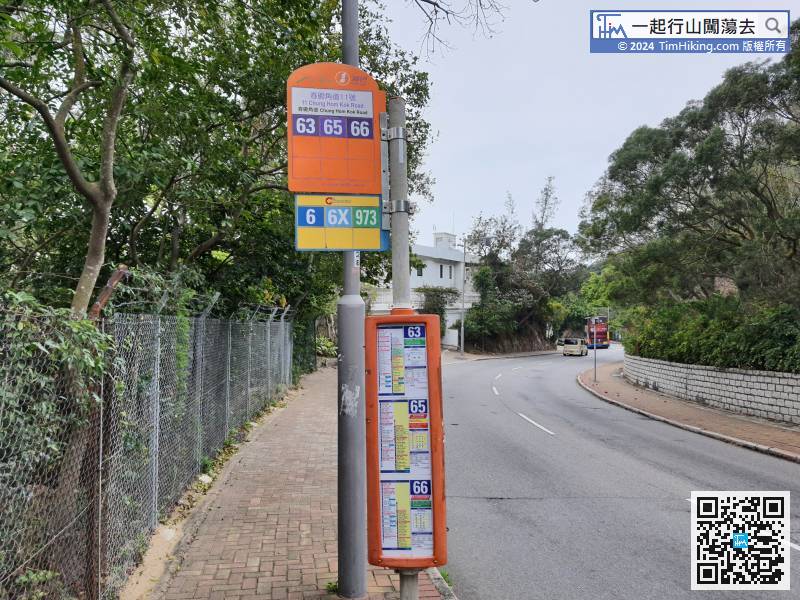
The starting point is between Chung Hom Kok Road and Stanley Gorge Road. There are buses and minibuses to choose from. If you take the bus, you can get off at Hung Hom Kok Road No.11.
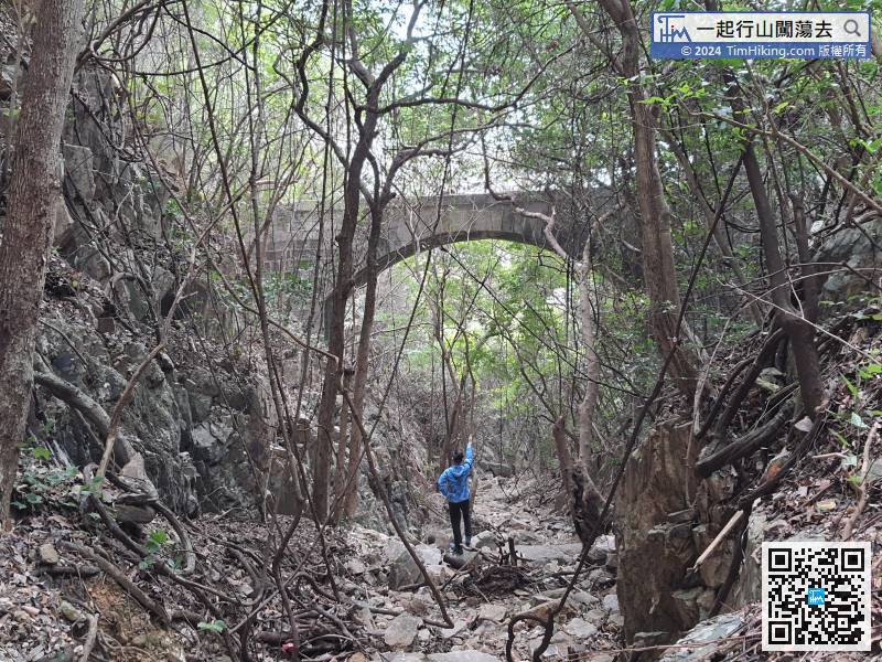
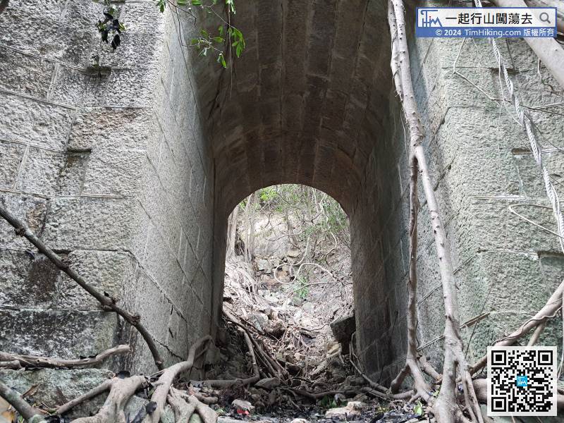
9︰and then there is a big road. 14︰there is a large and long flood spillway on the left.
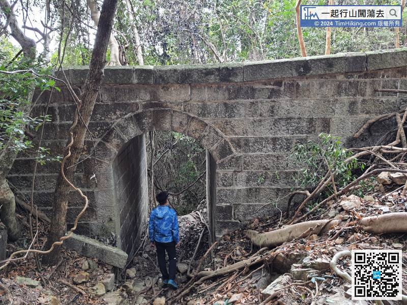
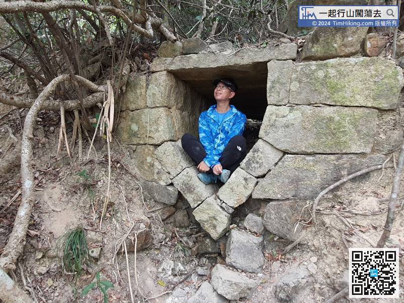
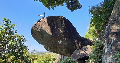
 24︰being careful not to fall under the masonry bridge. The height of the third floor is enough to break your bones.
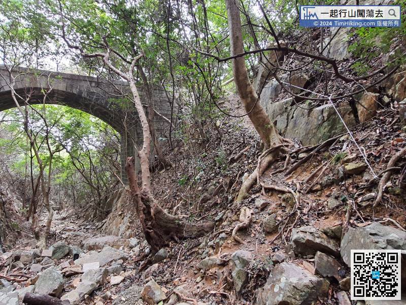
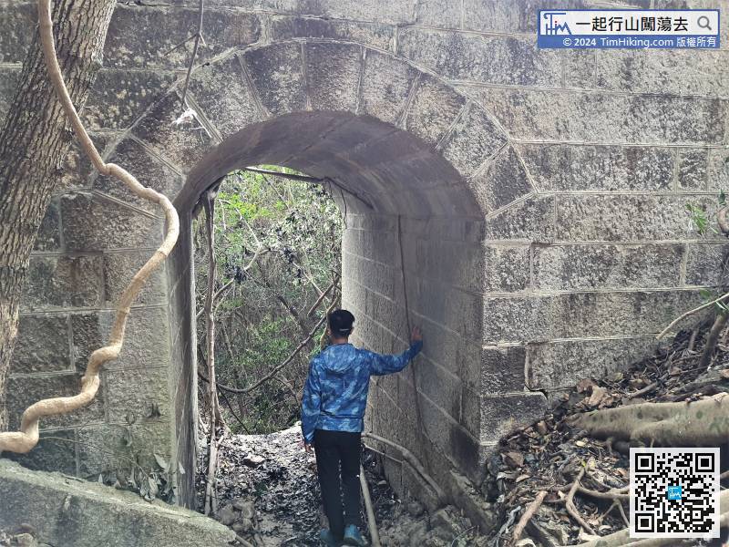
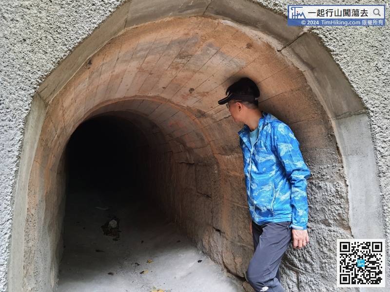
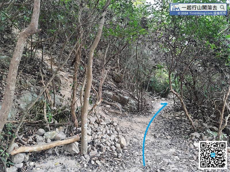
Return to the big masonry bridge, back to the bridge deck on the coming road,
33︰Remember to go down from the left.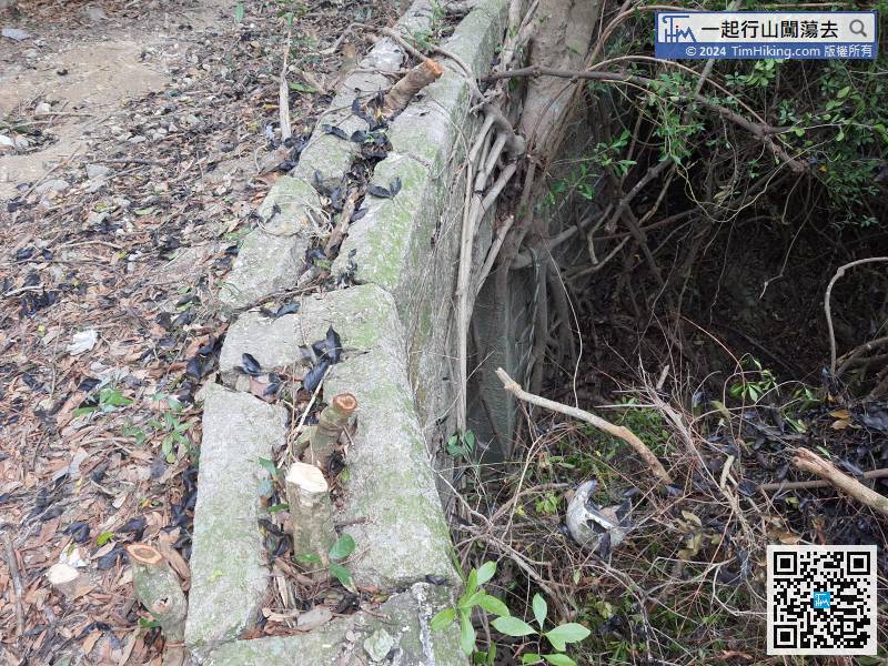


