


 Recommend YouTube


| View : |  | ||
| Difficulty : |  | ||
| Path : | |||
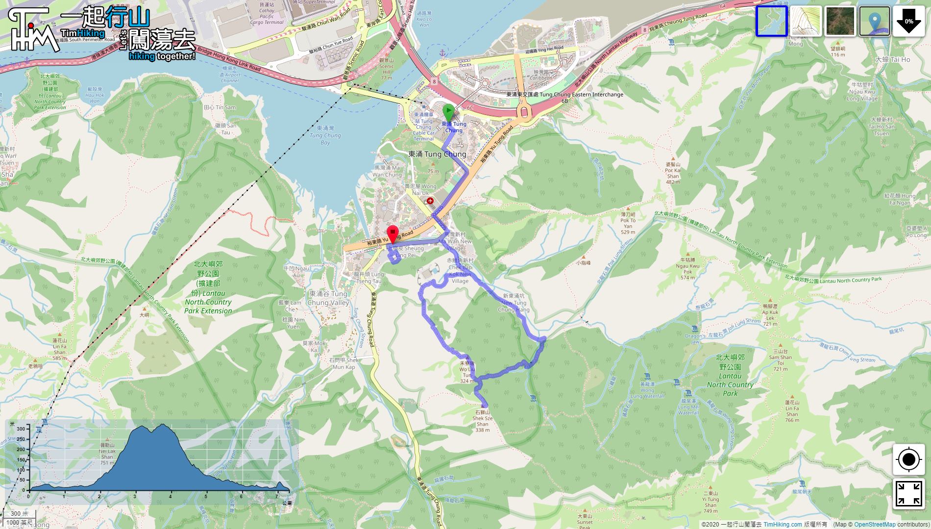
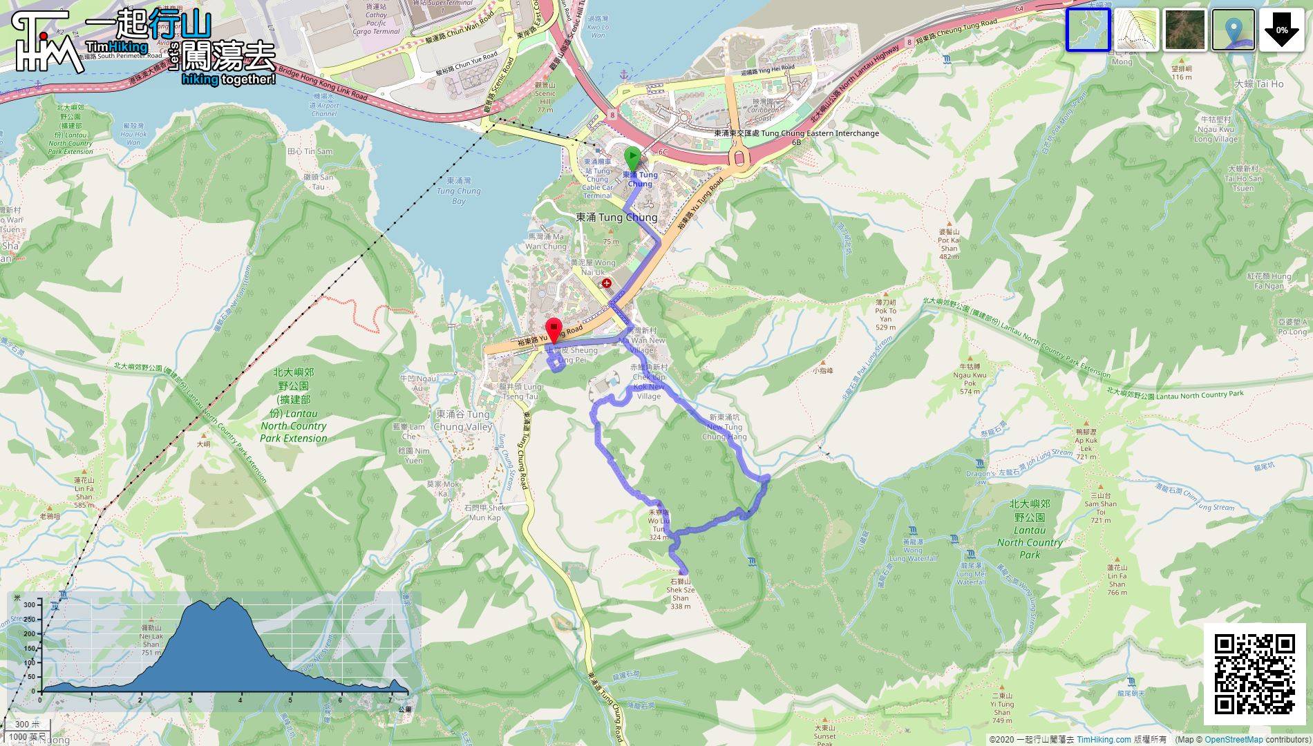
| Length : | 7.3km | ||
| Time : | 3½hours | ||
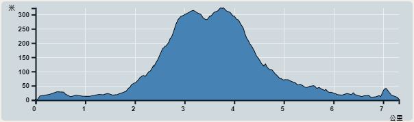 | |
| Ascent : 516m | Descent : 518m |
| Max : 323m | Min : 0m |
| (The accuracy of elevation is +/-30m) | |


 11︰pay attention to the gate of Tung Chung Fresh Water Service Reservoir on the right-hand side.
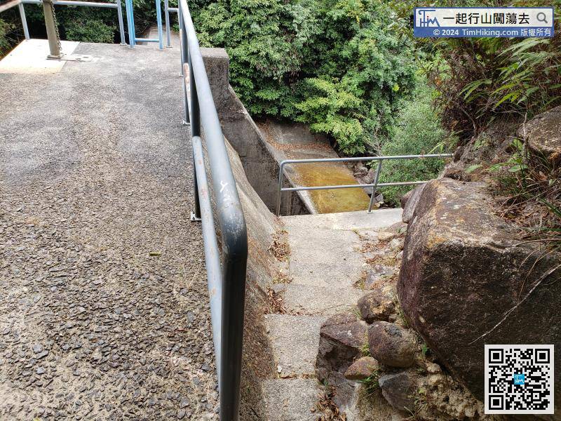
 15︰take the maintenance stairs on the left,
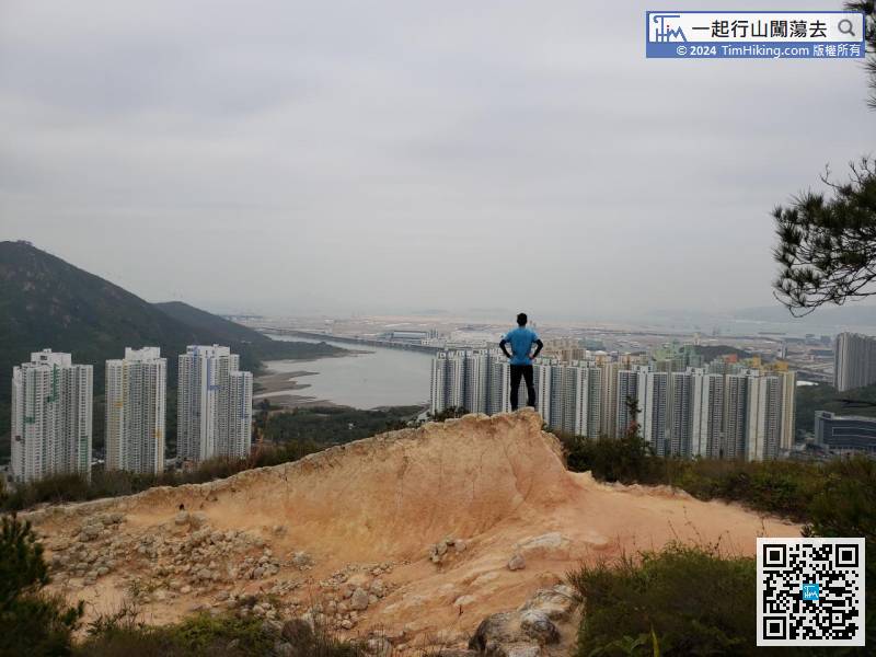
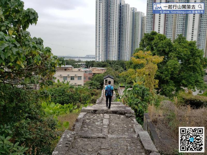
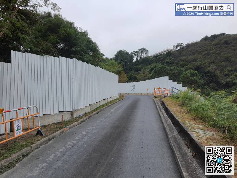 24︰look behind can see the open scenery of Tung Chung city centre.
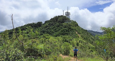
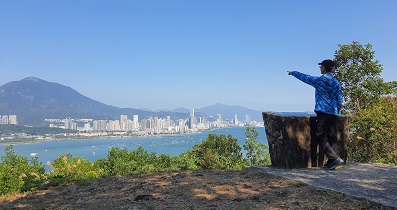
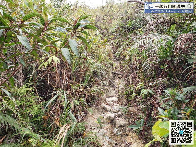
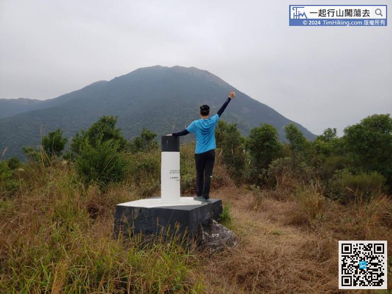
There is actually only one mountain trail, basically there is no bifurcation before going to Wo Liu Tun.
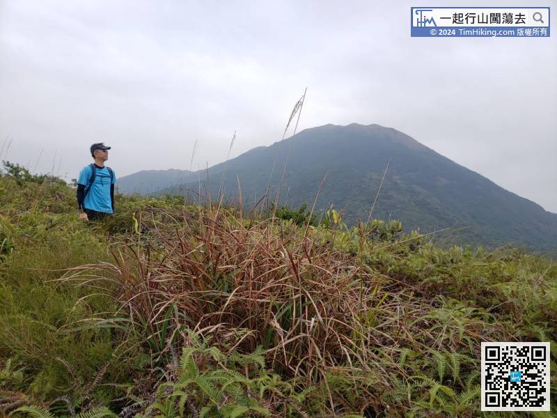
46︰The grass on the Shek Sze Shan barren trail is extremely dense, need to pass through a forest-like, the branches and leaves grow severely.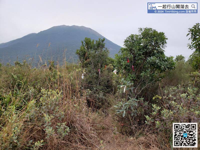
Take a short break, walk from the other end with countless ribbons tied to the direction,
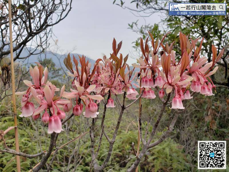
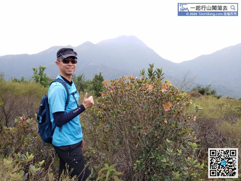
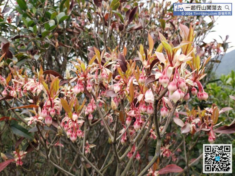
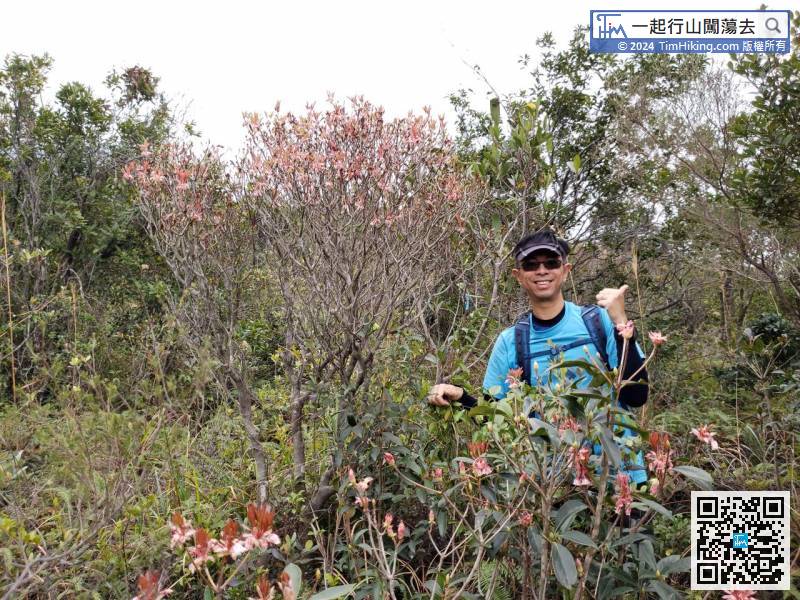
Continue to watch the Chinese New Year Flower while travelling.
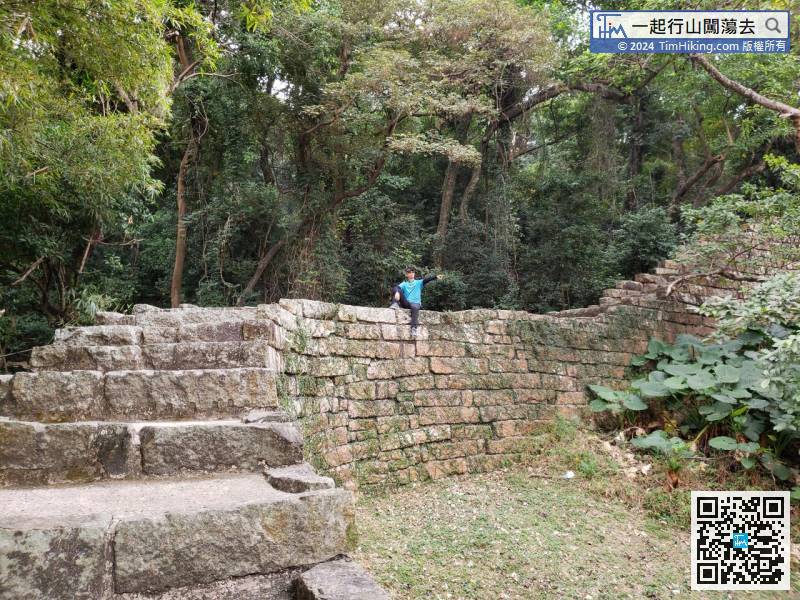
 77︰Inside is the abandoned Tung Chung Public School.
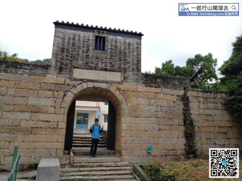 86︰After walking around,
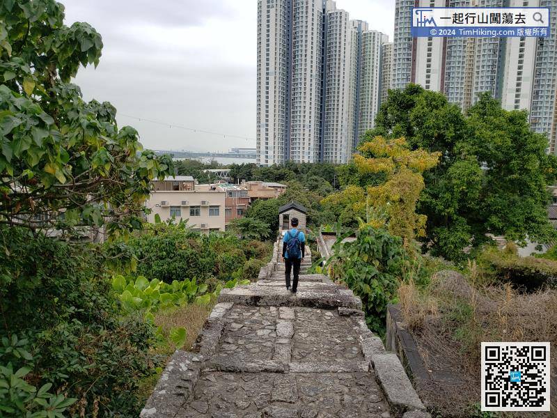


