


 Recommend YouTube


| View : |  | ||
| Difficulty : |  | ||
| Path : | |||
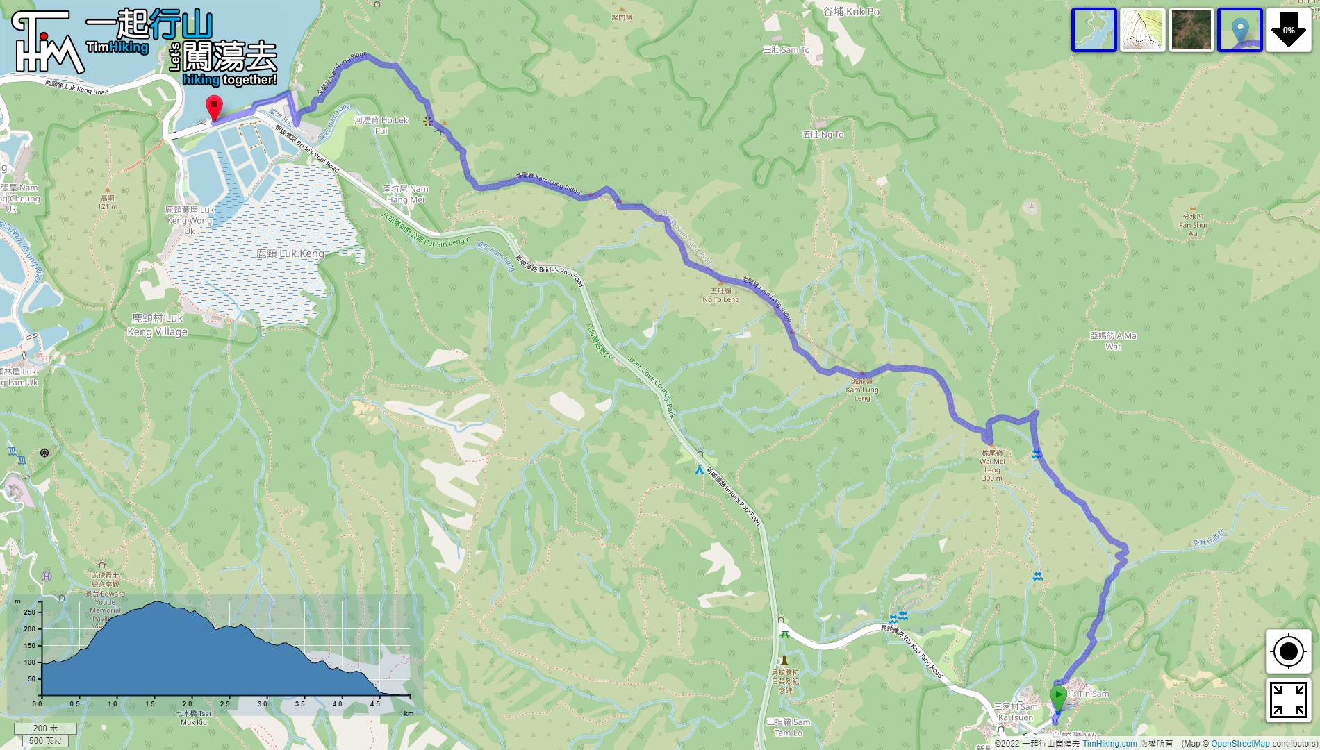
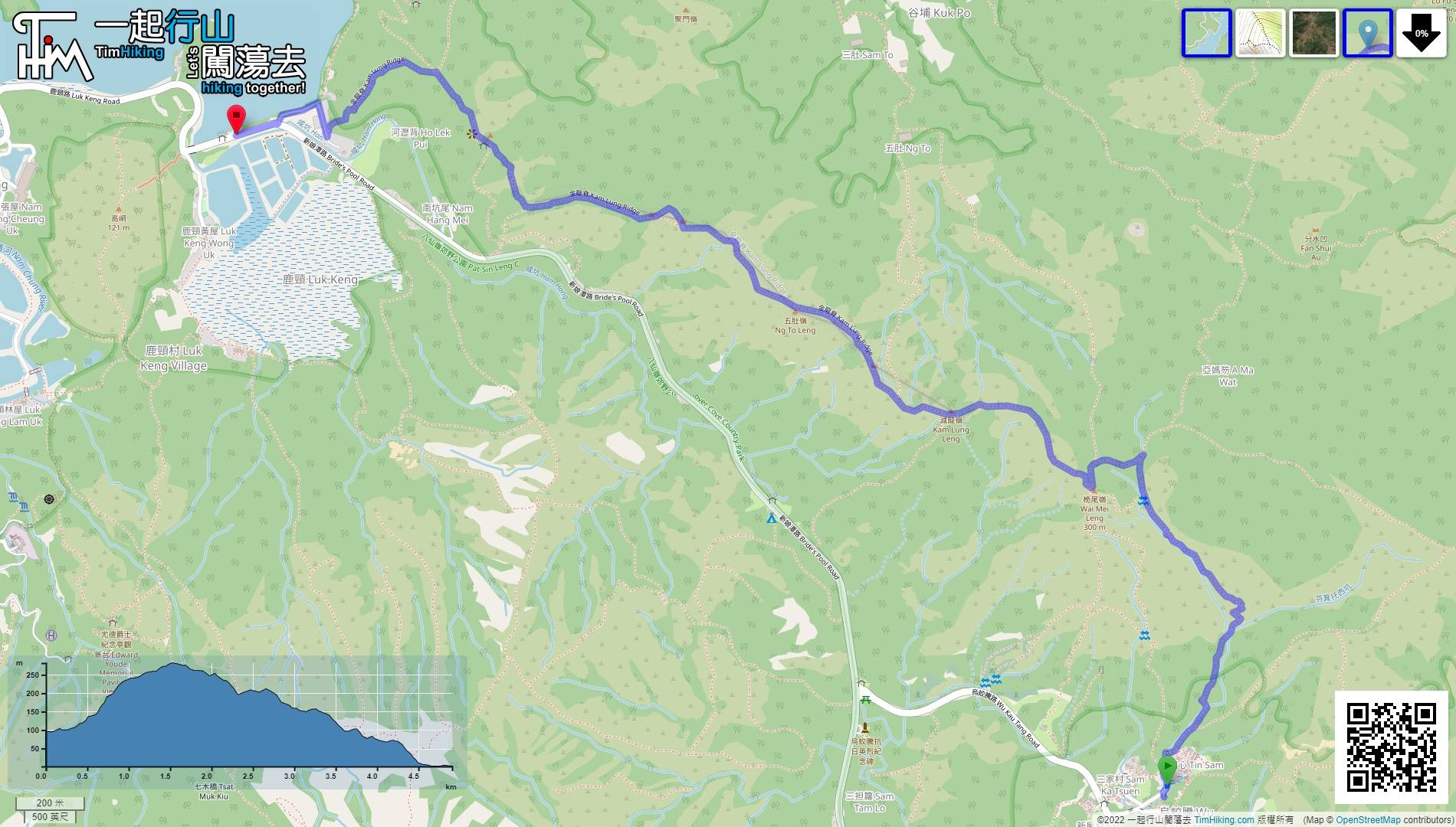
| Length : | 5km | ||
| Time : | 2½hours | ||
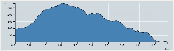 | |
| Ascent : 251m | Descent : 341m |
| Max : 282m | Min : 1m |
| (The accuracy of elevation is +/-30m) | |


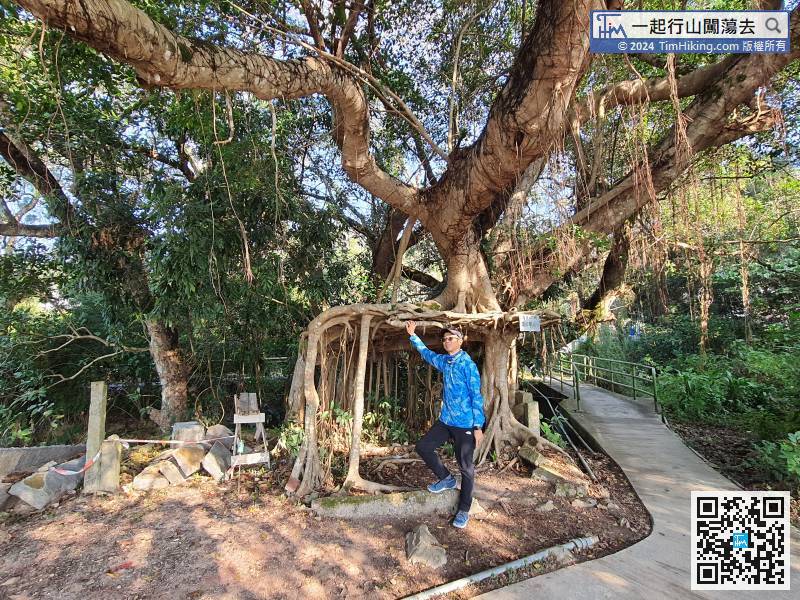
 4︰take a look at Wu Kau Tang Tree House first,
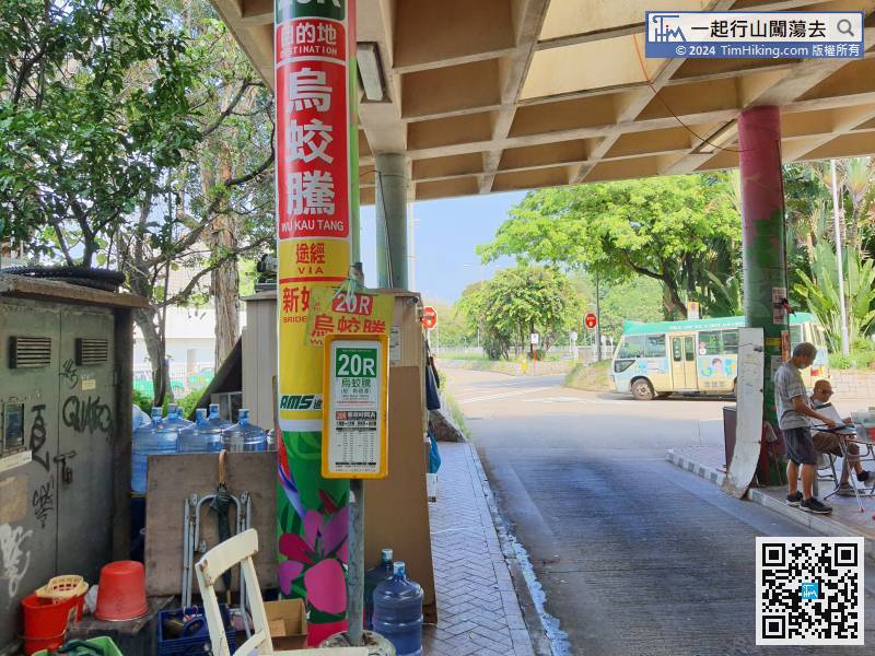
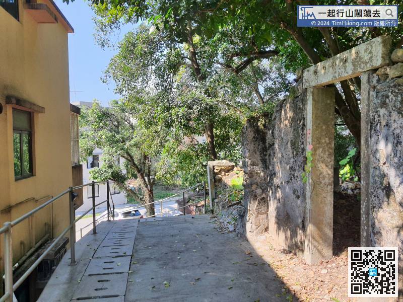
First, go to Wu Kau Tang, can take the minibus 20R at Tai Po Market Station and get off at the terminal. It is recommended to take a taxi directly to Wu Kau Tang.
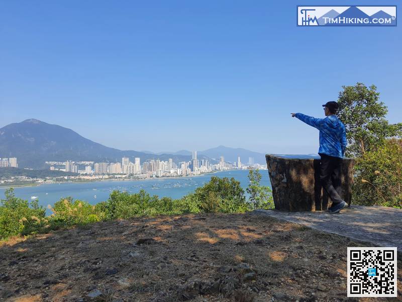
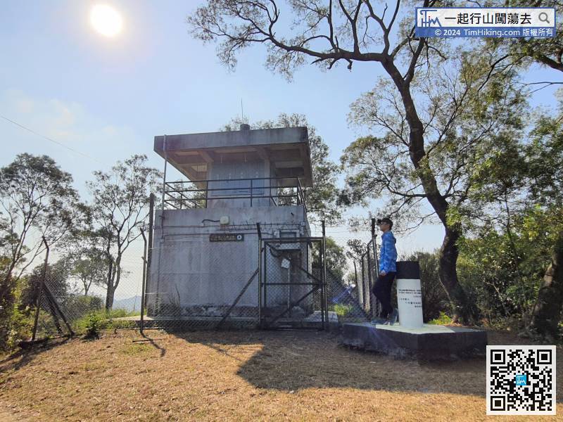
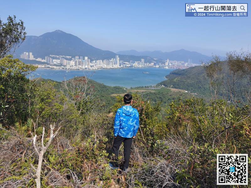
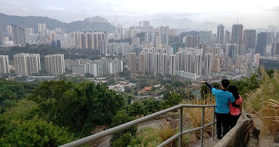
18︰Come to a big fork, 24︰The main view of the Viewing Point is Pat Sin Leng,
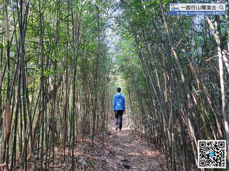
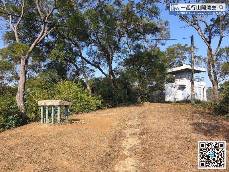 32︰On the way, will see a beautiful bamboo tunnel.
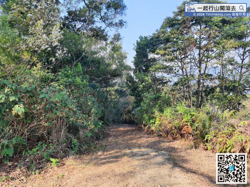 39︰After a moment, come to a fork full of ribbons,
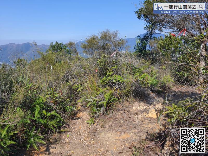 49︰In an instance, come to Ng To Leng, but there are many tall trees around, and the view is not wide.
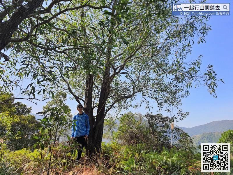
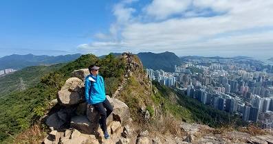
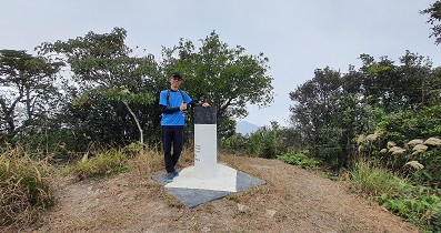
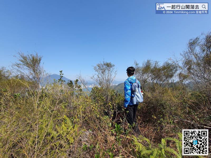
In an instance, come to Ng To Leng, but there are many tall trees around, and the view is not wide.
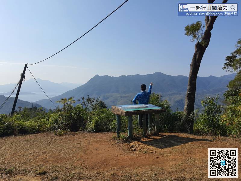
64︰After coming to the top of a small hill,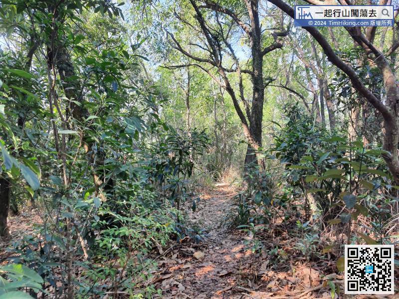 74︰If not wanting to reach the top, can choose to keep left and go straight.
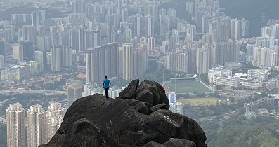
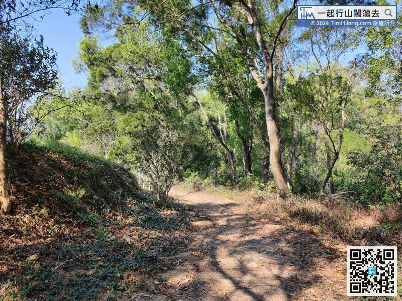 79︰and will come to a Viewing Point with a very good scenery,
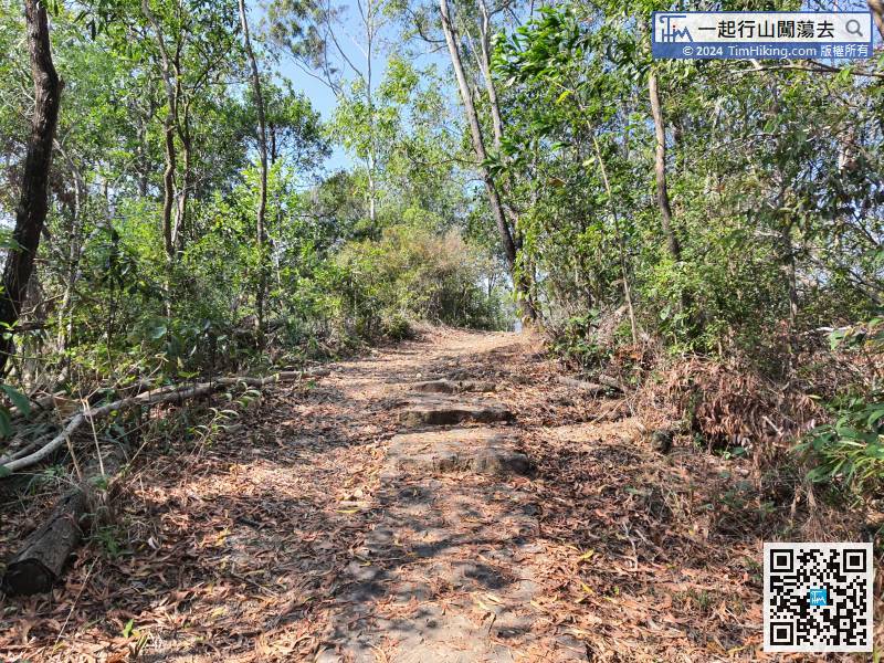


