


 Recommend YouTube


| View : |  | ||
| Difficulty : |  | ||
| Path : | |||
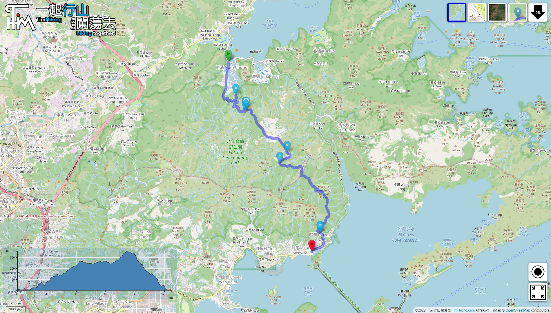
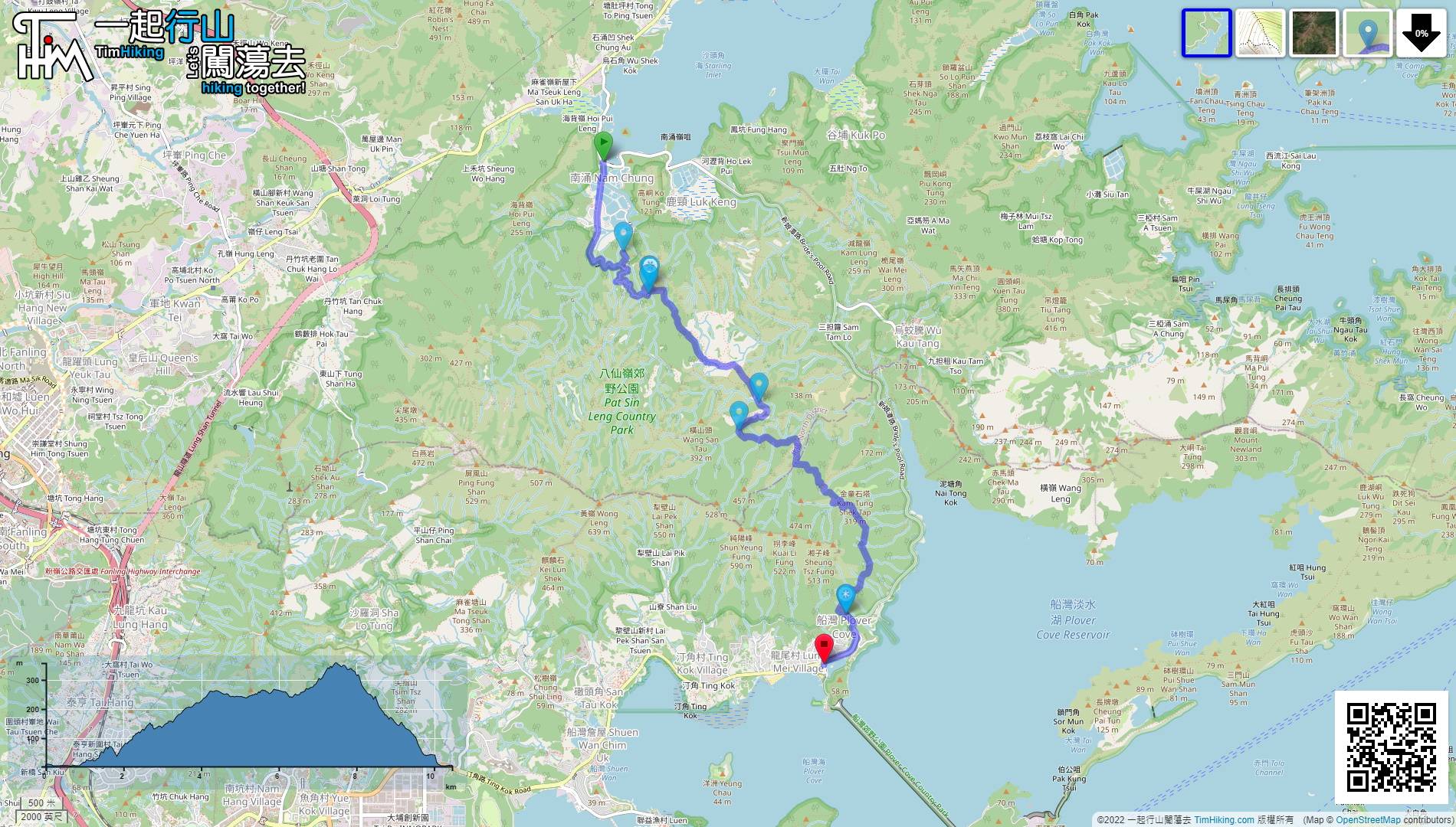
| Length : | 10.5km | ||
| Time : | 3hours | ||
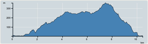 | |
| Ascent : 629m | Descent : 624m |
| Max : 357m | Min : 3m |
| (The accuracy of elevation is +/-30m) | |


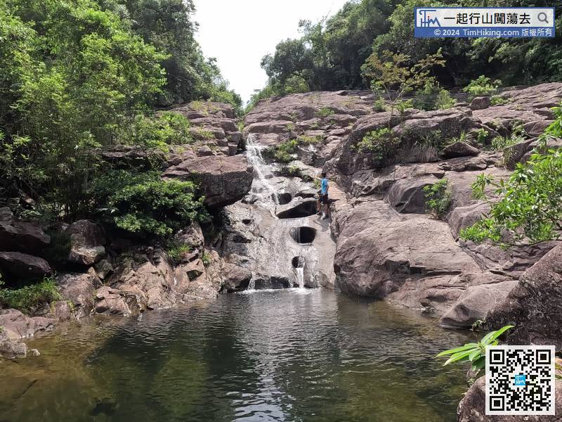
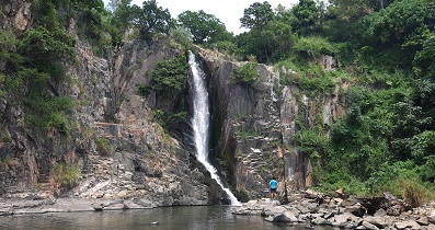
 18︰The first attraction, Shek Pan Tam, just drops to the left at the fork.
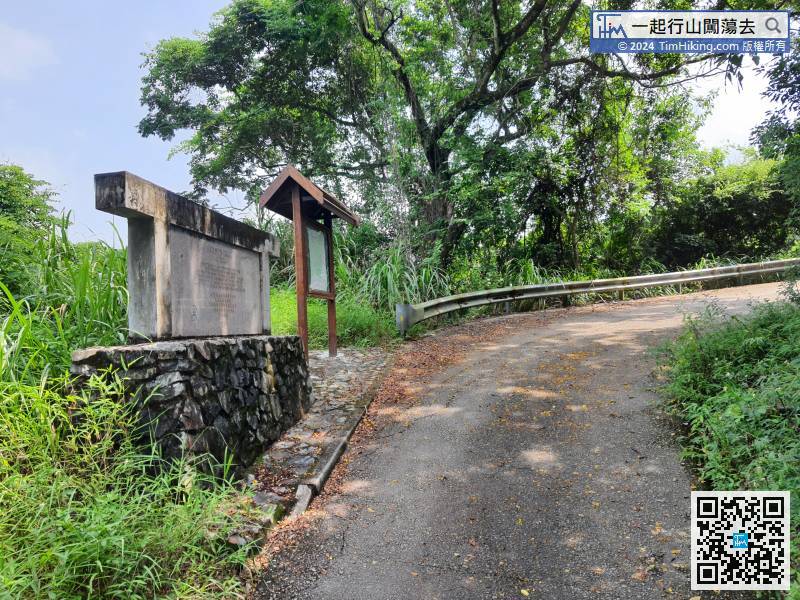
You will see the big stone tablet of Wilson Trail soon,
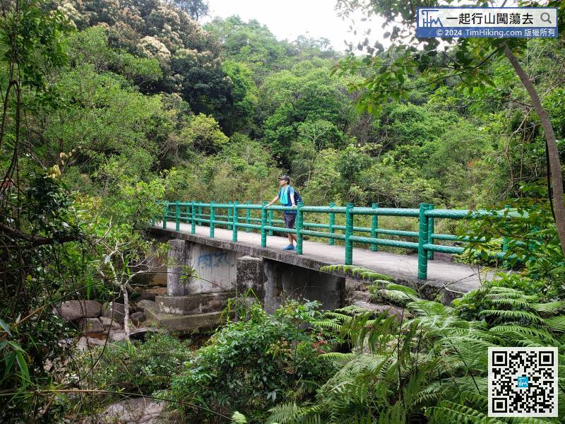
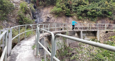
 45︰This bridge was built in 1995 when the Wilson Trail was built. Kiu Shan refers to the Kiu Shan Primary School in the former four villages.
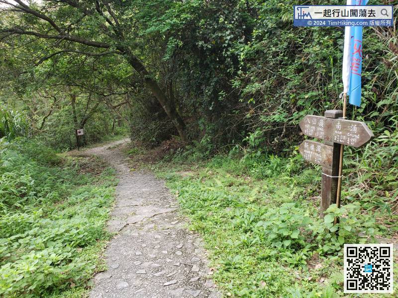
 83︰then cross the bridge to the opposite side.
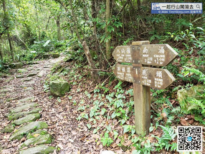
Leave Ha Tsat Muk Kiu and continue towards the direction of Pat Sin Leng. The trail is well-shaded
94︰which is Wang Shan Keuk South Bridge,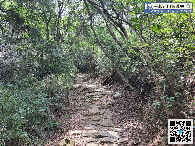
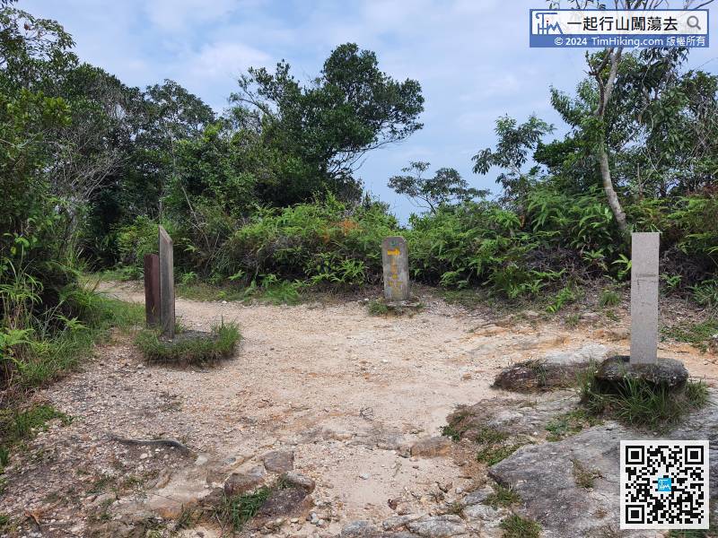
Soon, the Pat Sin Leng Nature Trail is connected, and the Wang Tsat Ancient Trail ends.
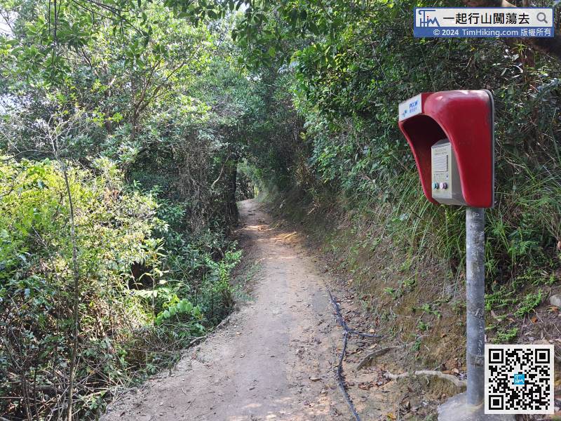
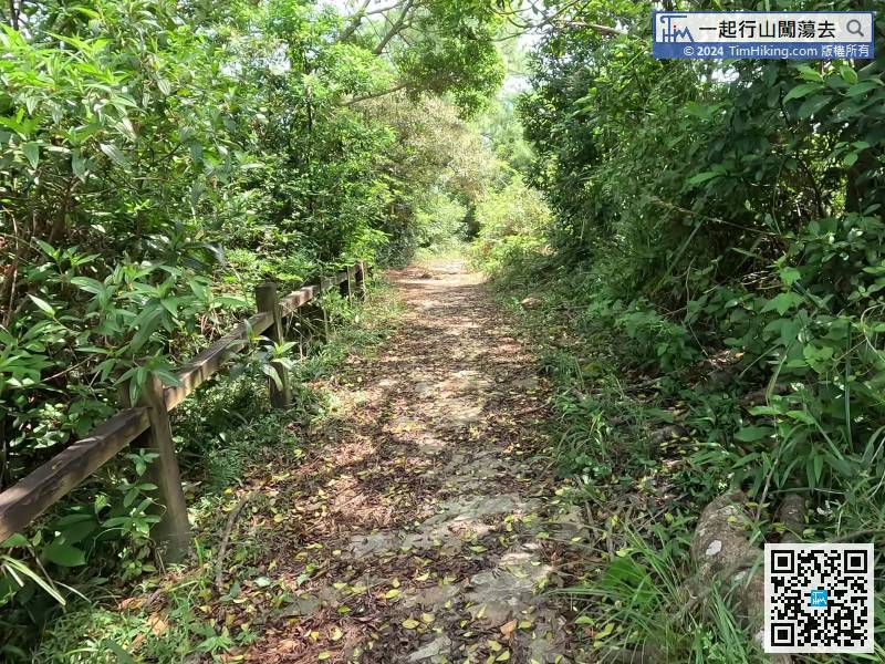
Continue to descend along the trail, some are flat trails,
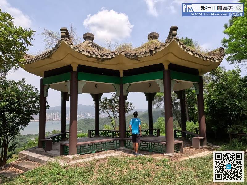
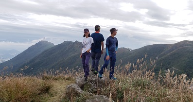
129︰There is a Viewing Point next to Spring Breeze Pavilion, which can overlook Tai Mo Shan as far as the eye can see. The scenery is good.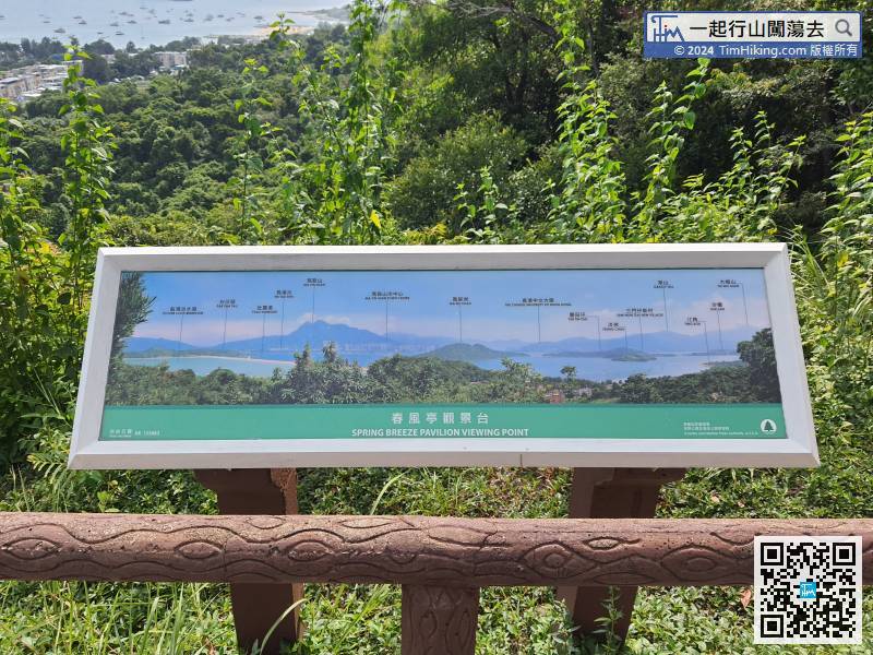
There is a Viewing Point next to Spring Breeze Pavilion, which can overlook Tai Mo Shan as far as the eye can see. The scenery is good.


