


 Recommend YouTube


| View : |  | ||
| Difficulty : |  | ||
| Path : | |||
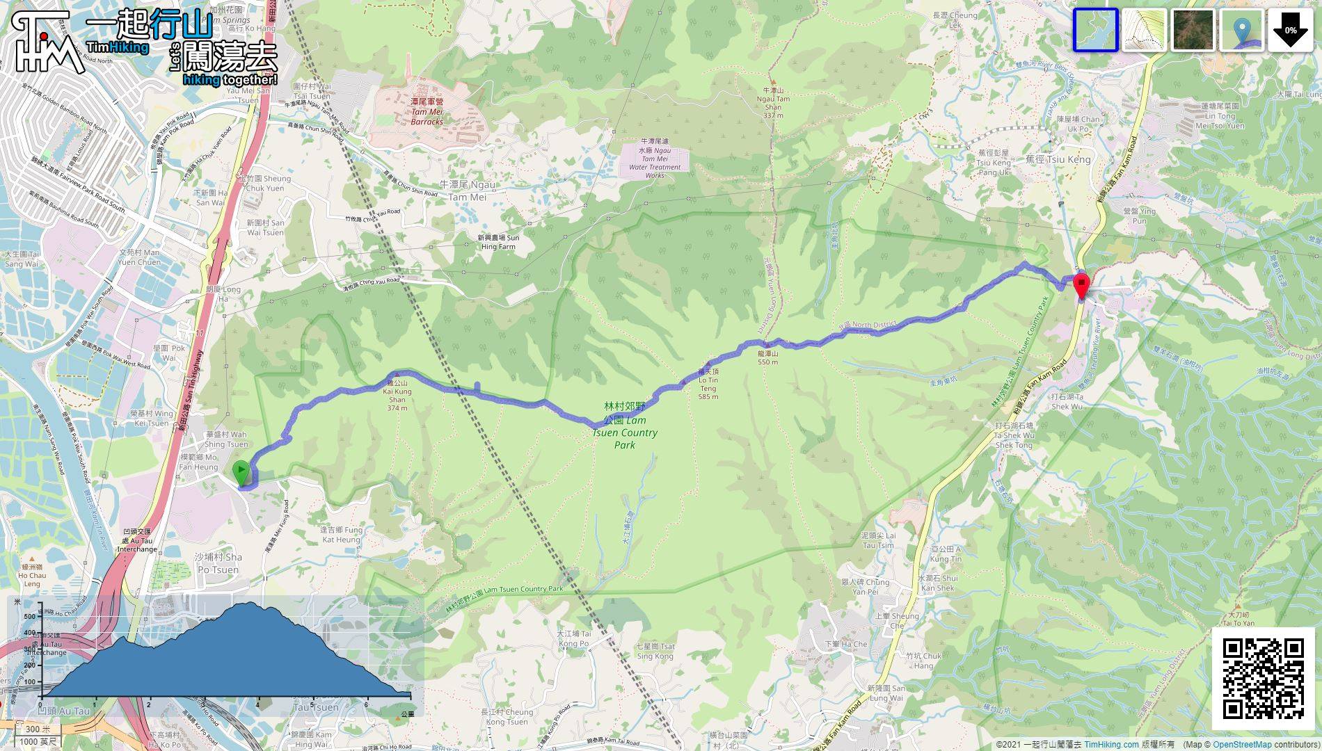
| Length : | 6.8km | ||
| Time : | 3hours | ||
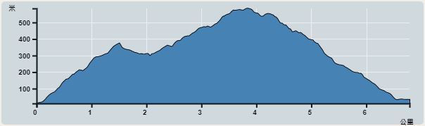 | |
| Ascent : 660m | Descent : 648m |
| Max : 566m | Min : 10m |
| (The accuracy of elevation is +/-30m) | |


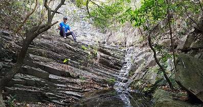
 12︰keep going straight until seeing the second group of power transmission poles with some rugged wooden steps. That is the usual entrance to the climb Kai Kung Leng.
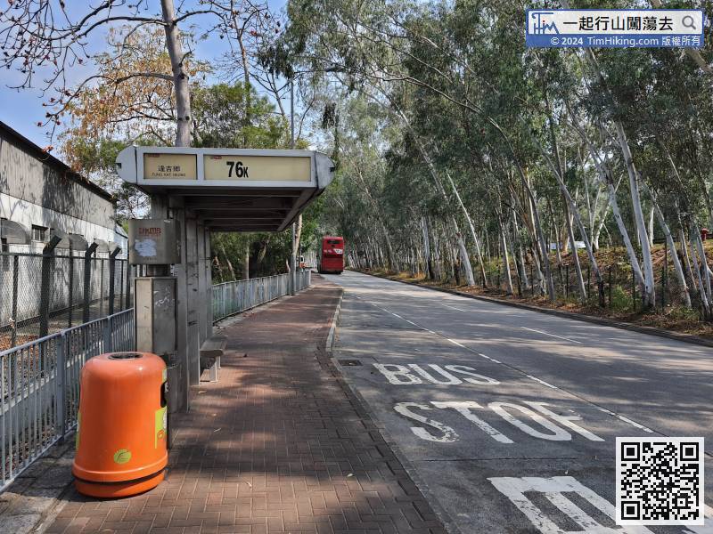
The starting point is at Fung Kat Heung. You can take the 76K bus or the 36/603 minibus from Yuen Long and get off at Fung Kat Heung bus stop.
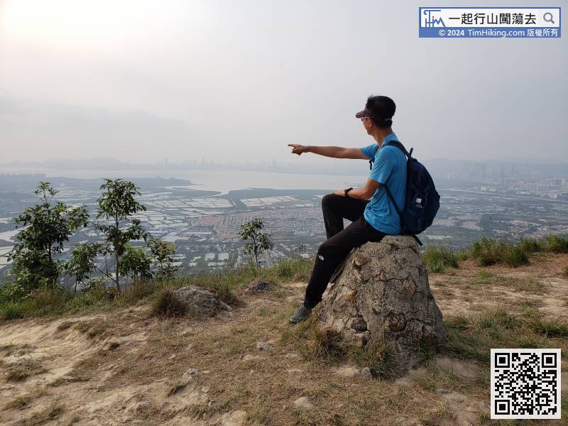
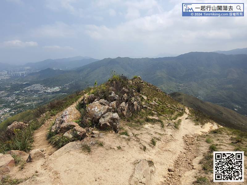
21︰There will be many branch trails along the way. In order to preserve the ridge, please try to walk on the main trail with steps.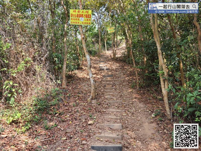 29︰abandoning the fat shape and becoming an ordinary trigonometrical station.
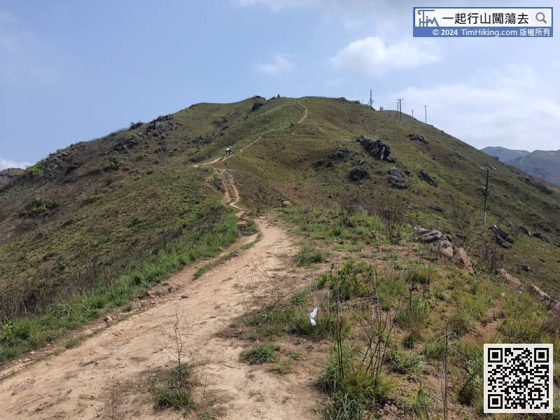 31︰the trails are sand and gravel roads.
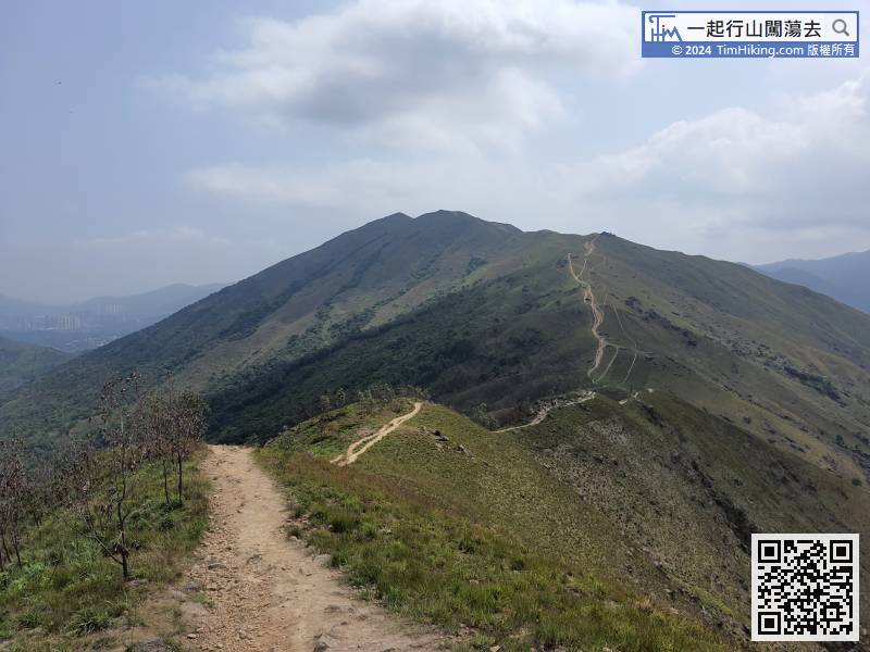 39︰If there are multiple routes, usually choose to way going up to the mountain.
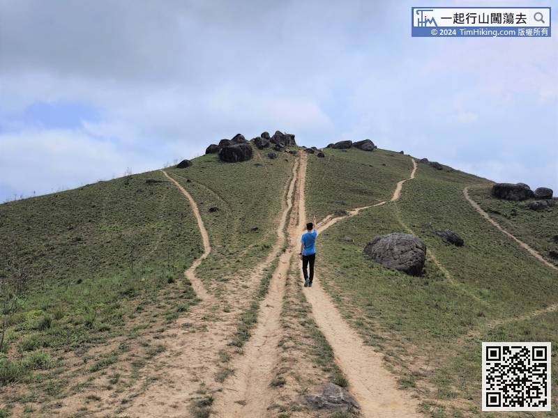
If there are multiple routes, usually choose to way going up to the mountain.
51︰Lo Tin Teng has no trigonometrical station, only a few old boulders.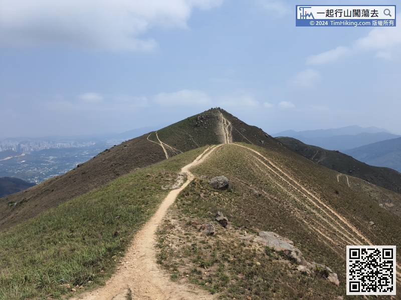
 62︰Choose the path carefully in the chain of bifurcations.
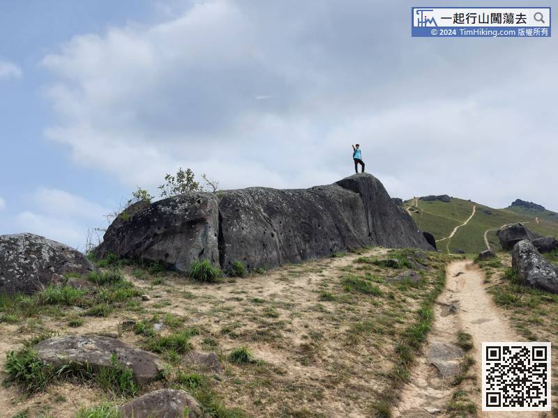
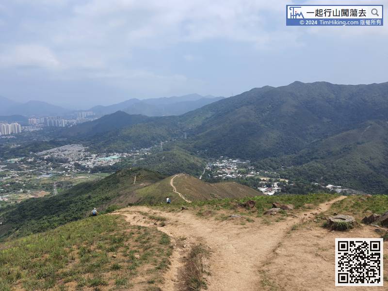 69︰When coming to a big bifurcation, the forward path is to Tsiu Keng.
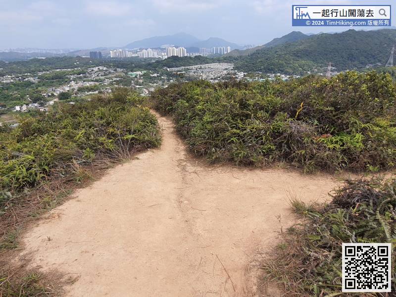


