


 Recommend YouTube


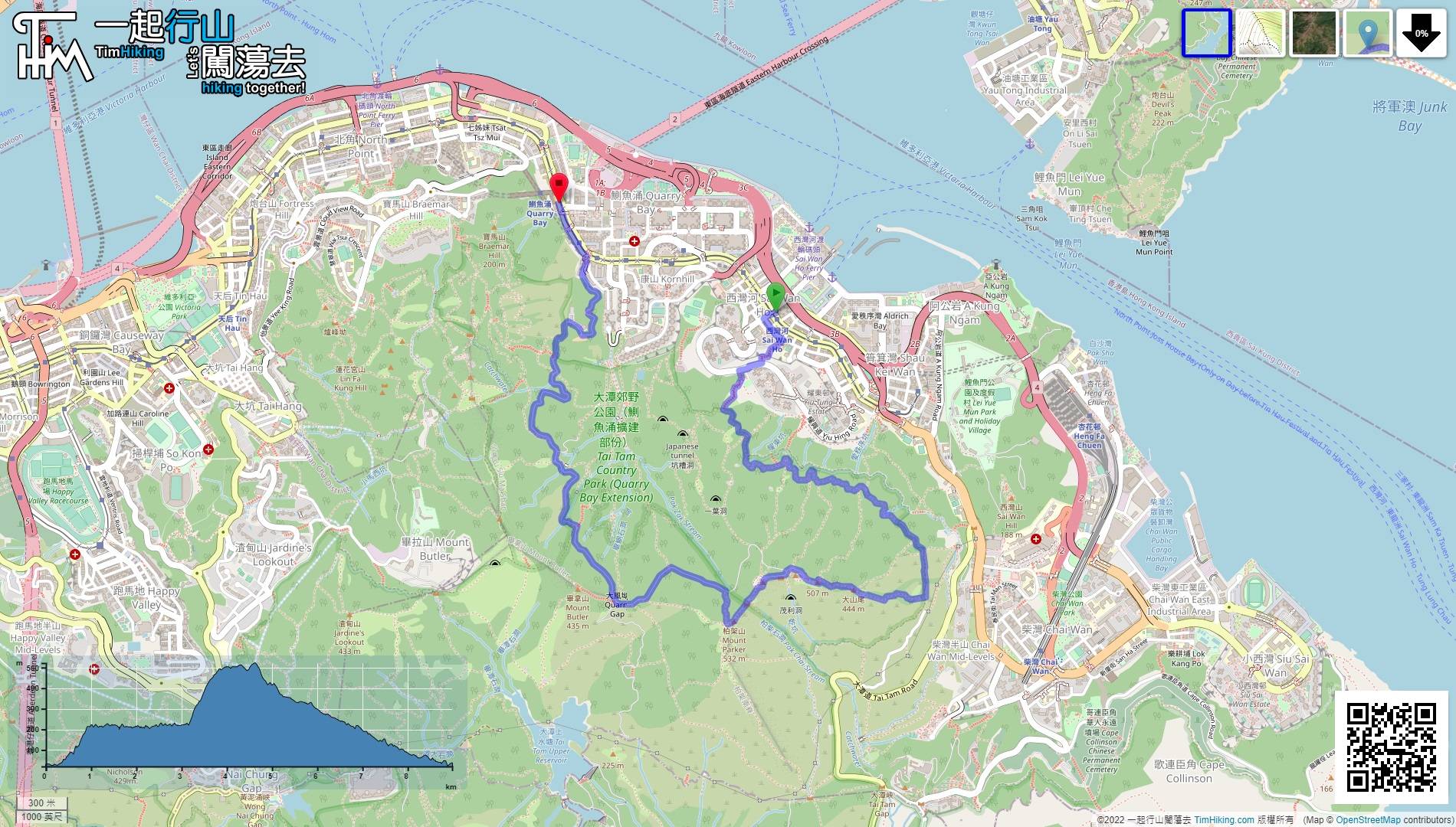
| View : |  | ||
| Difficulty : |  | ||
| Path : | |||
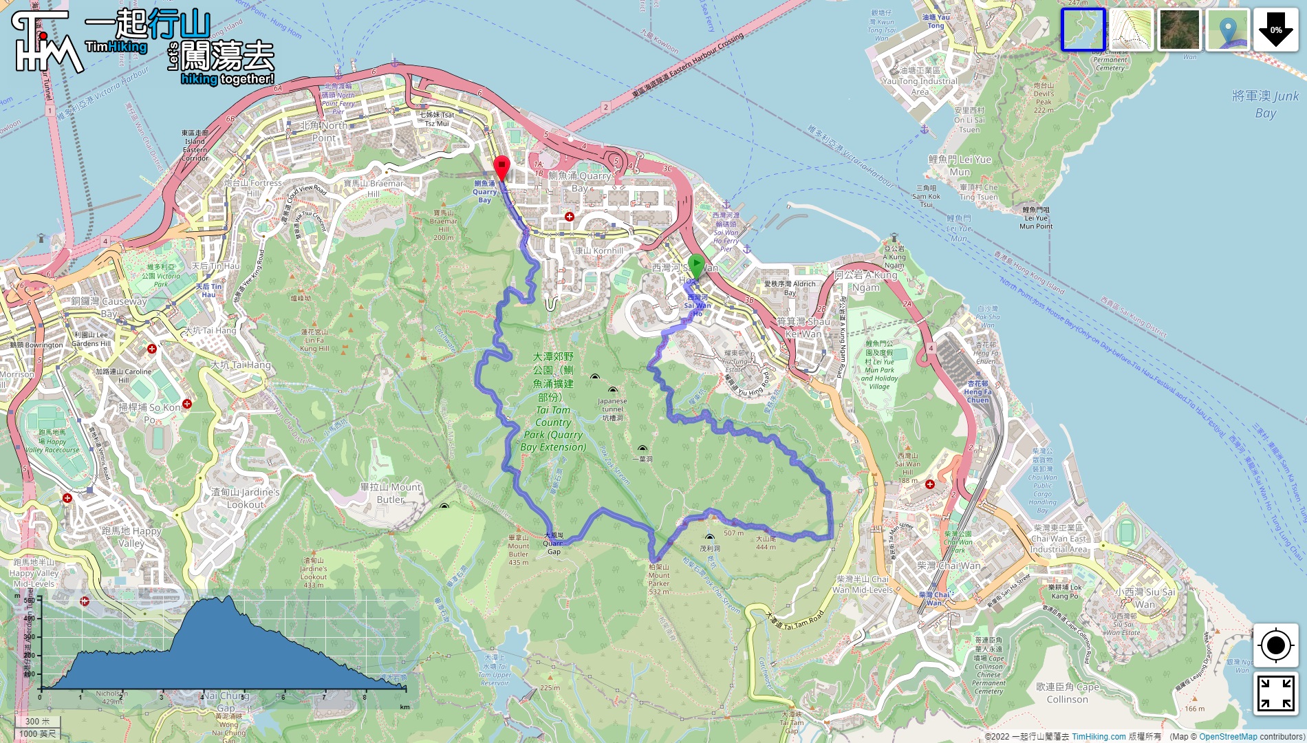
| Length : | 9km | ||
| Estimate : | 4½hours | ||
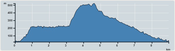 | |
| Ascent : 517m | Descent : 508m |
| Max : 522m | Min : 20m |
| (The accuracy of elevation is +/-30m) | |


 20︰In the end, it will connect to the dirt trail,
 38︰obviously a long distance to go.
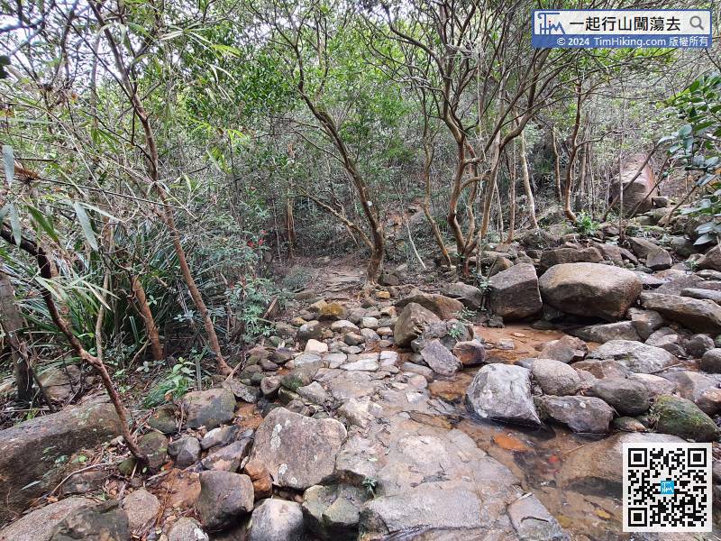 47︰pay attention to the barren trail on the right,
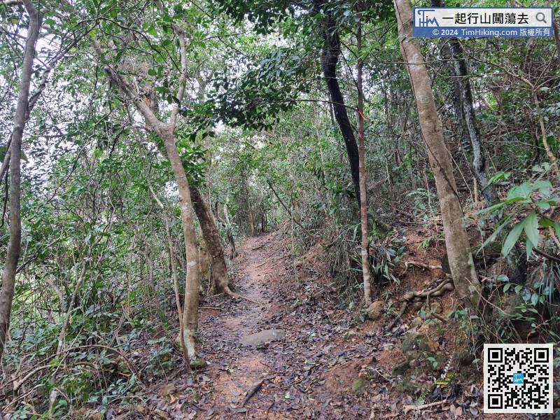
From time to time, hikers will occur some barren trails on the right,
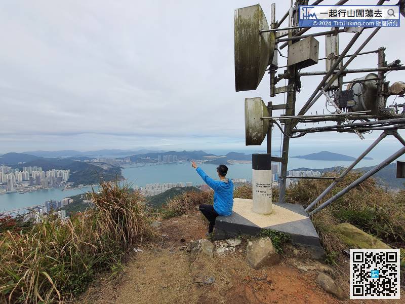
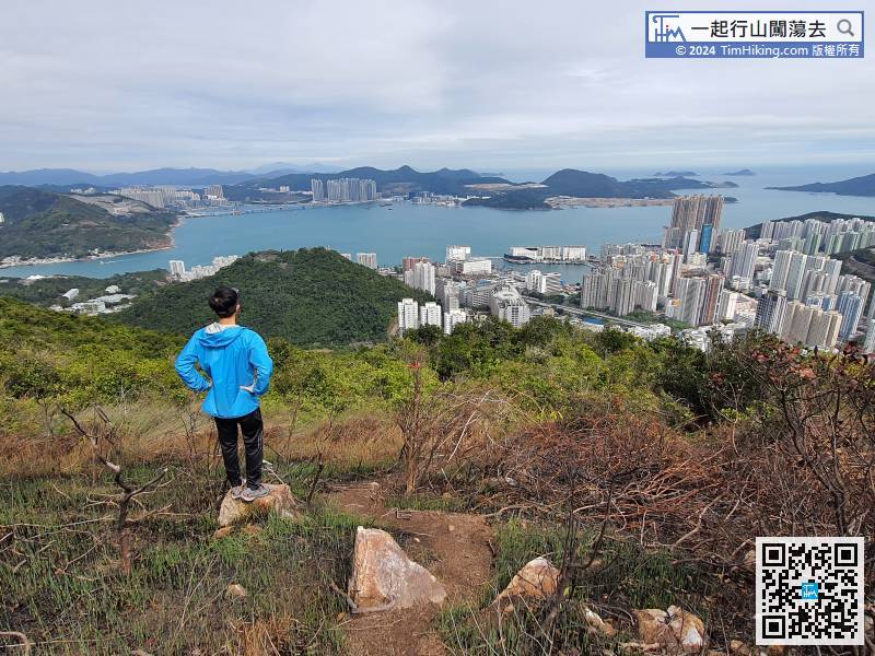
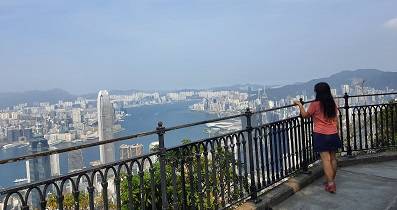
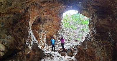
51︰come to a small rock platform overlooking the eastern part of Hong Kong Island, as far as the Tseung Kwan O landfill, Tung Lung Chau, Ninepin Group, etc.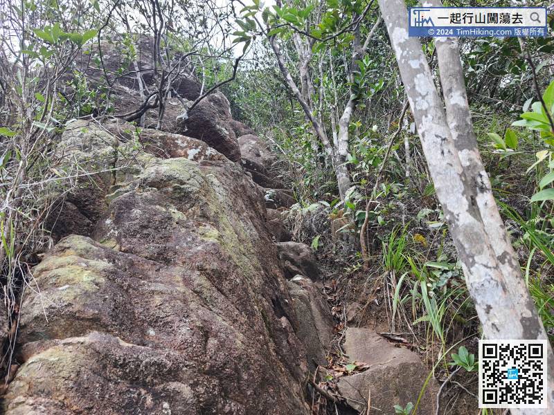 63︰Entering a vast bush is the easiest place to get lost.
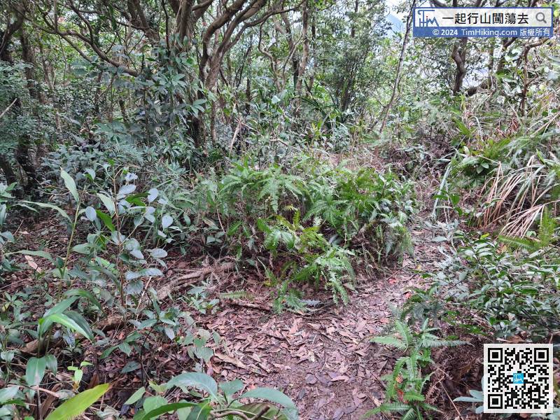
The next section of the mountain trail is the haziest. Hikers must walk on the clearest road embryo
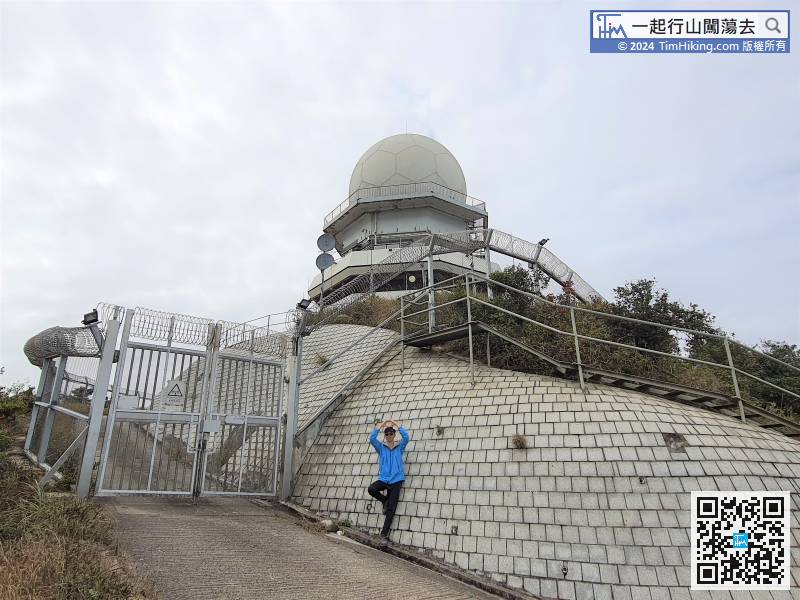
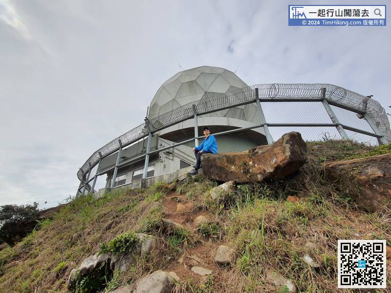
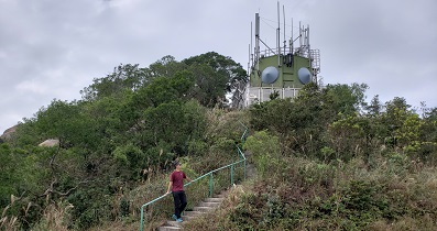
73︰and will see one of the Radar Stations.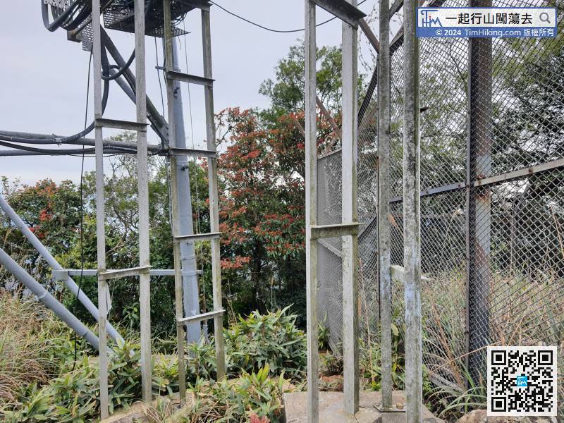 84︰can find a barren trail to the top of Mount Parker.
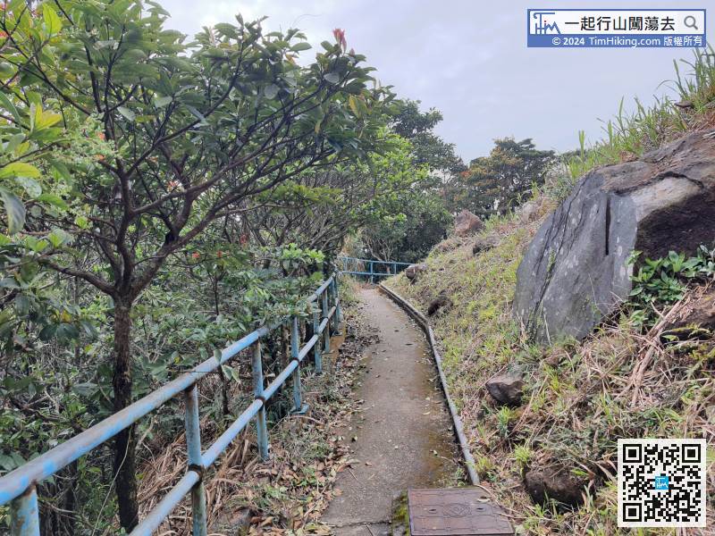 98︰Two minutes later, come to a fork,
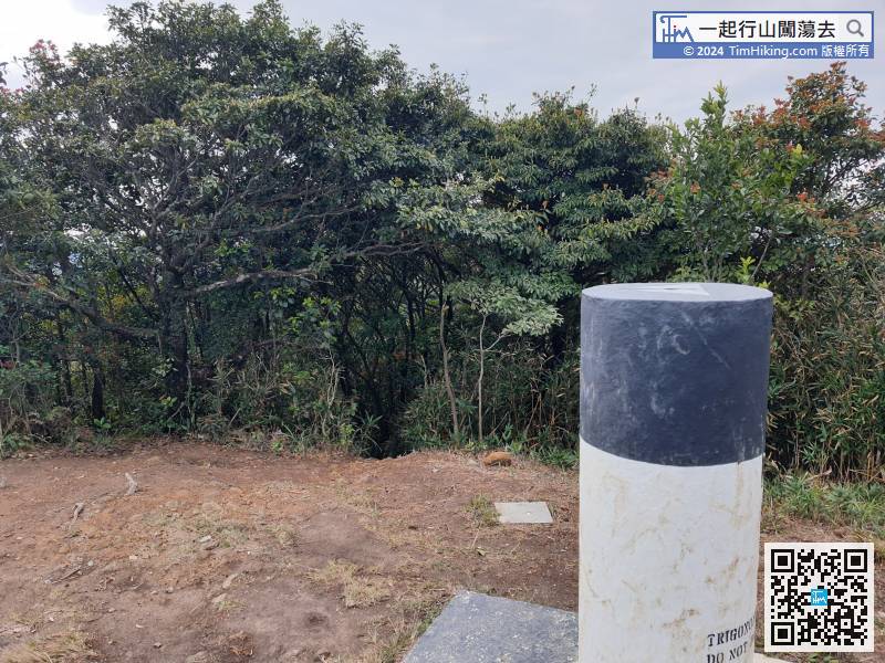
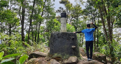
After a short break, just leave behind the Trigonometrical Station.
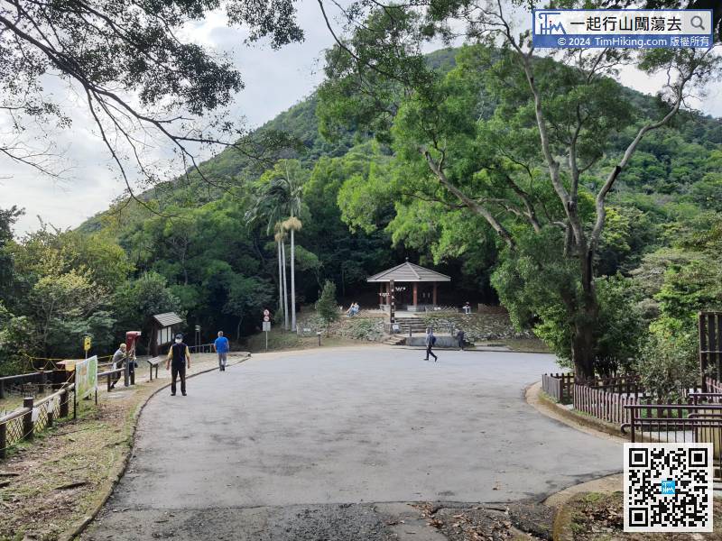
In an instance, will come to the very familiar Quarry Gap.


