


 YouTube 隨 機 推 介


| 景觀︰ |  | ||
| 難度︰ |  | ||
| 路線︰ | |||
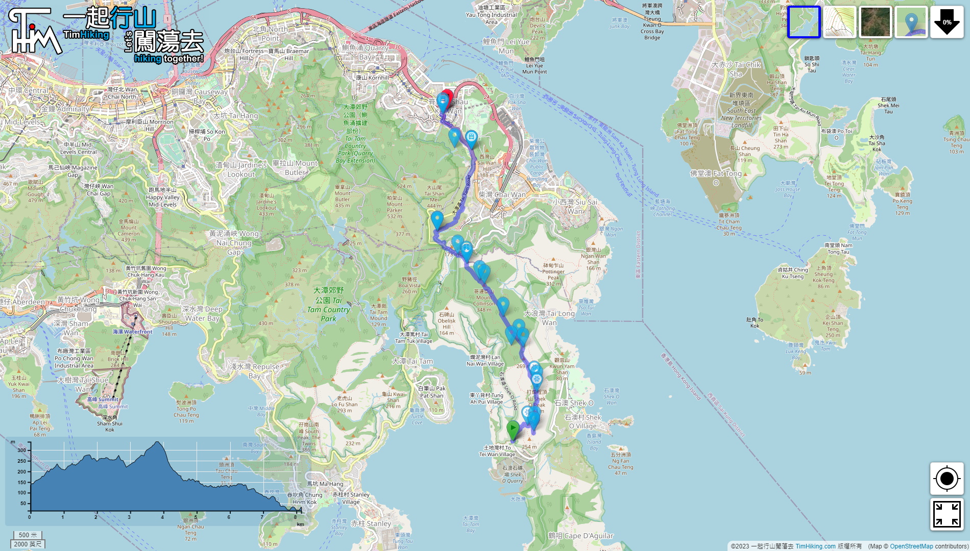
| 全長︰ | 8.2公里 | 需時︰ | 4小時 |
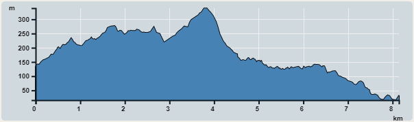 | |
| 攀升︰502米 | 下降︰603米 |
| 最高︰339米 | 最低︰16米 |
| (海拔高度值只供參考 誤差約是30米內) | |


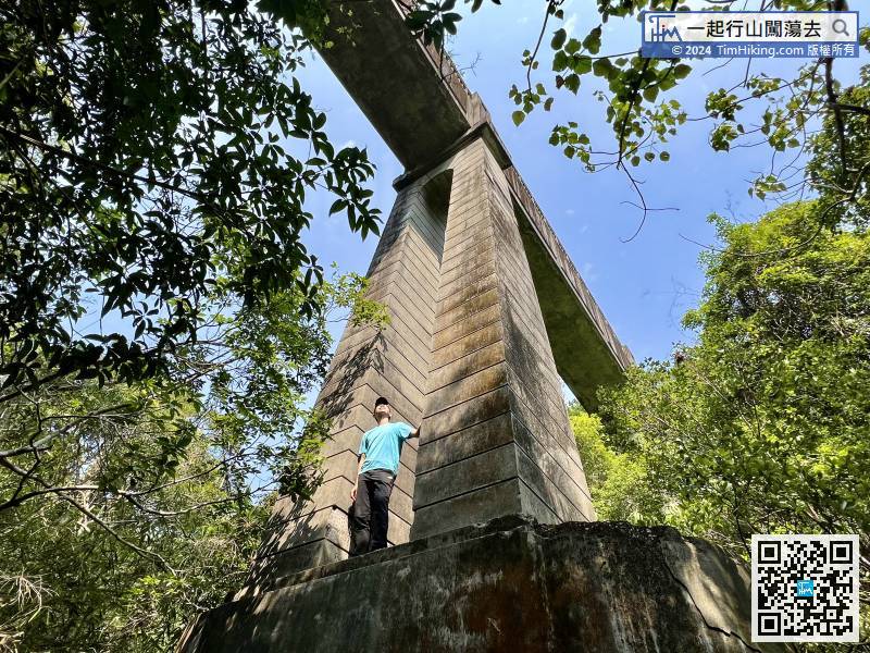
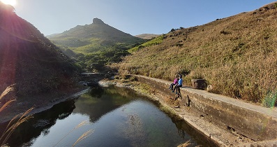
 124︰謠傳日治時期日軍曾在此大開殺戒,再加上西灣濾水站發出的嘈雜聲響,在夜間彷彿有冤魂哀鳴,猛鬼橋的名字就這樣在民間流傳下來。
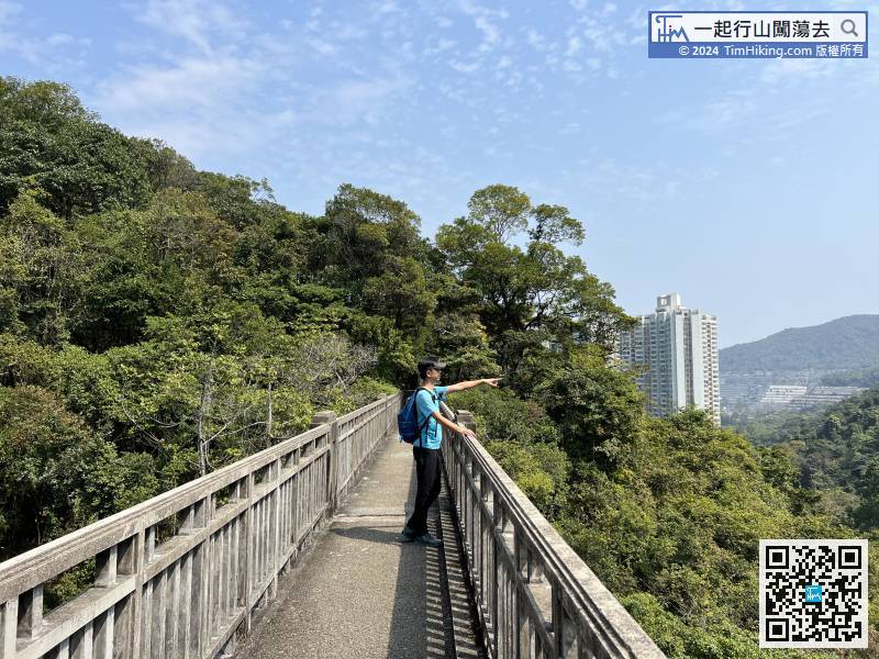
謠傳日治時期日軍曾在此大開殺戒,再加上西灣濾水站發出的嘈雜聲響,在夜間彷彿有冤魂哀鳴,猛鬼橋的名字就這樣在民間流傳下來。

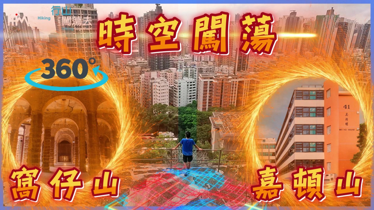
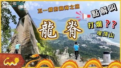
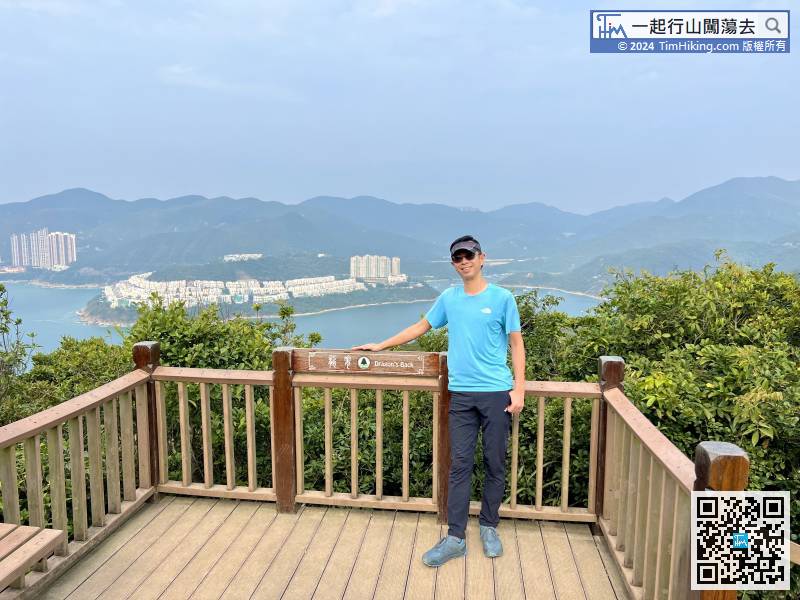
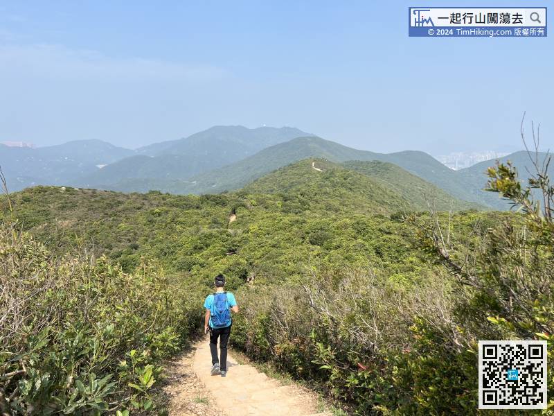
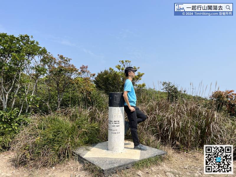
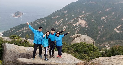
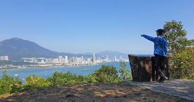
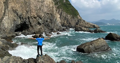
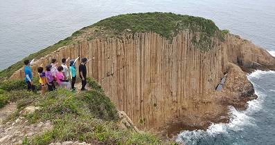
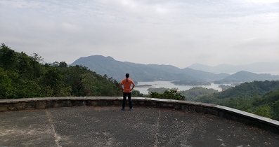
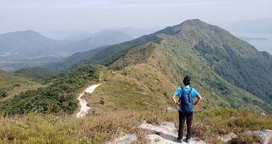
 龍脊 雲枕山 歌連臣山
| 景觀︰ | | ||
| 難度︰ | | ||
| 路線︰ | |||
| 全長︰ | 8.2公里 | 需時︰ | 4小時 |
| |
| 攀升︰502米 | 下降︰603米 |
| 最高︰339米 | 最低︰16米 |
| (海拔高度值只供參考 誤差約是30米內) | |
124︰謠傳日治時期日軍曾在此大開殺戒,再加上西灣濾水站發出的嘈雜聲響,在夜間彷彿有冤魂哀鳴,猛鬼橋的名字就這樣在民間流傳下來。
| AdditIdent : | 請問Tim Sir, 如果哥連臣山頂轉右落馬塘坳, 會否比轉左落易行? (2023-10-07) |
不會,落馬塘坳條路多分叉,有好多絲帶,盲跟就好大問題,但轉左落就一條直路好明顯。 (Tim Sir 2023-10-07) |
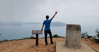
| Mark : |  第一次行猛鬼橋,好高呀! (2021-09-25) |
Enjoy 😉 (Tim Sir 2021-09-25) |
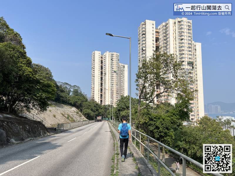
| Hwkin1991 : | 由引水道返回大潭道後,要行一小段馬路,行車線好狹窄,十分危險,建議都係搭巴士前往較好。 (2020-12-25) |
港島好多馬路旁都沒有行人路的,駕駛人士都習慣的,行人小心沿邊行就可以,不用膽心。 (Tim Sir 2020-12-25) |
| 颱風 : | 跟得你既行山路線多之後,覺得行山既時候都輕鬆左唔洗喘哂氣,所以我行呢段山既時候自己加長左路線,加左哥連臣山再落去大浪灣再上返去柴灣走,謝謝你提供的路線。 (2020-03-26) |
行山長與短沒所謂,享受其中才重要。 (Tim Sir 2020-03-26) |


